Lot #: 16602
Listing ID: #2043 has been removed from your wishlist.
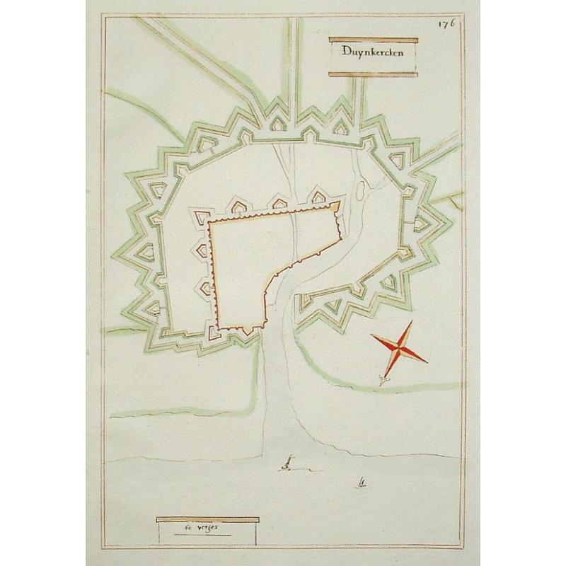
Duynkercken. |
||||||||||||||||||||
|
||||||||||||||||||||
|
|
||||||||||||||||||||
|
|
Views: 194
|
|||||||||||||||||||
Description
Manuscript fortification town plan of Dunkerque showing the walled city and citadel, see the small ships. Drawn in brown ink and nicely hand colored. Renau was a mathematician, military engineer and cartographer who worked on Blaeu's great atlas of city plans. The draftsman made pin-holes to indicate the ends of the straight segments in the drawings, which he then drew with a straightedge. The manuscript atlas from which this plan came was dated 1651, although the plans may have been drawn later based on sketches and surveys made in 1651 after the Peace of Munster ended the Eighty Years' War in 1648. The paper stock is watermarked with a fleur-de-lis on a crowned shield.
FAQ - Guarantee - Shipping
Rarepapersales has been discontinued.
You can now bid on old maps on the Liveauctioneers platform.These auctions are hosted by NewWorldCartographic from Chicago.
Paulus Swaen keeps selling their maps on its own platform www.swaen.com
