Lot #: 21984
Listing ID: #4818 has been added to your wishlist.
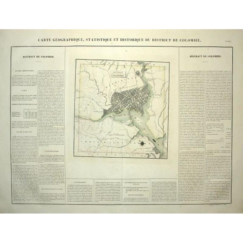
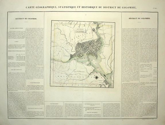
(Washington) Carte Geographique, Statistique et Historique. |
||||||||||||||||||||
|
||||||||||||||||||||
|
|
||||||||||||||||||||
|
|
Views: 239
|
|||||||||||||||||||
Description
This is a striking map of the capital city with north oriented to the top left corner by a compass rose and an arrow indicating the flow of the Potomac River. Washington, Georgetown and Alexandria are well depicted and a good part of the vicinity is also illustrated with major roads named.
Buchon's atlas is often called the French Carey & Lea, and it was printed on better quality paper than the Philadelphia issue.
The map is surrounded by French text providing details of climate, topography, commerce, religion, government, history and military battles.
Size is of map only, with full text size is 17 x 24".
FAQ - Guarantee - Shipping
Rarepapersales has been discontinued.
You can now bid on old maps on the Liveauctioneers platform.These auctions are hosted by NewWorldCartographic from Chicago.
Paulus Swaen keeps selling their maps on its own platform www.swaen.com