Lot #: 80312
Listing ID: #8942 has been added to your wishlist.
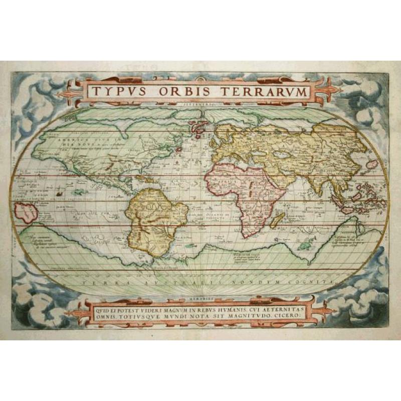
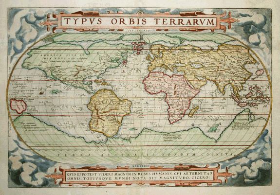
Typus Orbis Terrarum |
||||||||||||||||||||
|
||||||||||||||||||||
|
|
||||||||||||||||||||
|
This item has been sold.
Selling price: $5600 Sold Join News Letter to get informed when a similar item comes available. |
Views: 424
|
|||||||||||||||||||
Description
Ortelius' beautiful oval world map is a simplified version of Mercator's influential map of 1569. From surviving correspondence it is known that Mercator encouraged Ortelius and provided him with information, particularly with co-ordinates of places in the Americas. This is the first state of Ortelius' third world map updated with the more correct shape of South America and the first depiction of the Solomon Islands off the coast of New Guinea. North America is nearly bissected by a lengthy St. Lawrence River, and the lands of Anian Regnum and Quivira are noted on the western coast. The Atlantic Ocean is filled with phantom islands, including Frieslant, St. Brandain, Brasil and many others. A huge Southern Continent incorporates Tierra del Fuego, and the mythical lands of Beach, Maletur and Lucach. The oval projection is surrounded by an intricate strapwork design and four corner medallions containing quotations from Cicero and Seneca. Latin text on verso.
Reference: Van den Broecke, Ortelius Atlas maps,3.1 and Shirley 158
Reference: Van den Broecke, Ortelius Atlas maps,3.1 and Shirley 158
FAQ - Guarantee - Shipping
Rarepapersales has been discontinued.
You can now bid on old maps on the Liveauctioneers platform.These auctions are hosted by NewWorldCartographic from Chicago.
Paulus Swaen keeps selling their maps on its own platform www.swaen.com