Browse Listings in Antique Maps > America > Central America > Panama
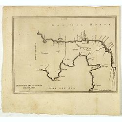
Descripcion del audiencia de Panama.
Rare early map of the Audiencia of Panama. The earliest map to include information from the previously secret manuscript maps of the Spanish cosmographer, Juan López de ...
Place & Date: Amsterdam, 1622
Selling price: $380
Sold in 2017
[Inca gold goes to Panama.]
Much of the gold stolen from the Incas was taken to the Town of Panama, where it was transported by mules across the Isthmus to Nombre de Dios, on the Caribbean coast, to...
Place & Date: Frankfurt, M.Merian, 1633
Selling price: $80
Sold
[Plans in Panama for the conquest of Peru.]
Having sworn co-operation and agreement to share between them the riches they hoped to find in Peru, Francisco Pizarro, Diego de Almagro and the priest Hernando de Luque,...
Place & Date: Frankfurt, M.Merian, 1633
Selling price: $80
Sold
[Pizarro forms a pact with Almagro.]
On his way back from Spain with the royal consent to conquer Peru, Pizarro forms a pact with Almagro in Panama. In order to ensure the pact was binding, they both swore a...
Place & Date: Frankfurt, M.Merian, 1633
Selling price: $150
Sold
Terra Firma et Novum Regnum Granatense et Popayan.
A very decorative, large, early map of modern-day Panama and Colombia. With Latin text on verso.
Place & Date: Amsterdam, 1640
Selling price: $230
Sold in 2018
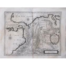
[ Lot of 3 maps] Terra Firma et Novum Regnum.
Willem Blaeu’s map of Columbia with the Isthmus of Panama. Embellished with two cartouches and two compass-roses. Willem Blaeu, the father of Johan and Cornelis Blaeu, ...
Place & Date: Amsterdam, 1655
Selling price: $125
Sold in 2022
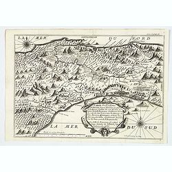
Carte de l'Isthme de Panama. . .
This very attractive map of the Isthmus of Panama was engraved for an early French edition of Alexandre Olivier Exquemelin's History of the Bucaniers of America, an inter...
Place & Date: [Paris], 1686
Selling price: $195
Sold in 2019
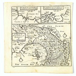
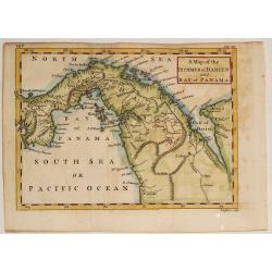
A Map of the Isthmus of Darien, & Bay of Panama.
A map of the Isthmus of Darien and Bay of Panama, with the twin insets of the North Sea Coast & the South Sea Coasts at the top. From A New Voyage around the World', ...
Place & Date: London, ca 1700
Selling price: $80
Sold in 2019
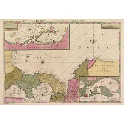
Le Golfe de Panama &cc.Cartagene,..
An impressive large sheet chart of Panama and part of the Colombia coast up to Santa Nevada de Santa Marta. In top left corner, detailed inset map (190x460mm) of Sambalas...
Place & Date: Amsterdam 1720
Selling price: $1200
Sold
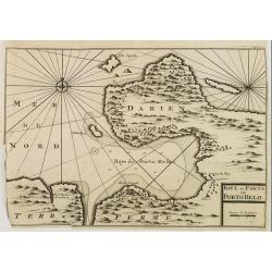
BAYE et FORTS de PORTO BELO.
Decorative map of the Portobelo Bay, in the region of Darien, Panama.From Voyages de François Coreal aux Indes Occidentales, Contenant ce qu'il y a vû de plus remarquab...
Place & Date: Amsterdam 1722
Selling price: $50
Sold
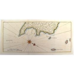
A Plan of the East End of the Island of Quibo.
A map showing the shoreline around Port de Dames indicating soft sand and mud, salt lagoons, fresh water, and fisherman's huts. Also marked are the islands of Quiveta and...
Place & Date: London, 1748
Selling price: $55
Sold in 2015
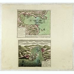
Portus Pulchri in Isthmo Panamensi / Scenographia Portus Pulchri
The birds-eye town-plan of Portobelo with title above, and a text panel "Dieser Grund Riss von dem Hafen, der Stadt u. den Forten von Porto belo ..." Below a sc...
Place & Date: Nuremberg, c. 1750
Selling price: $400
Sold in 2015
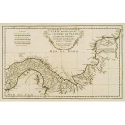
Carte particuliere de L'Isthme de Panama, Golfe de Darien, Côte de Carthagene..
This map provides an accurate picture of Panama.Jean Baptiste Bourguignon d'Anville (1697-1782) engraved his first map at age fifteen and produced many maps of high quali...
Place & Date: Paris 1752
Selling price: $155
Sold
A Map of the Isthmus of Darien and Bay of Panama.
A fine little map featuring the Isthmus of Darien and Bay of Panama. Crrently, the country of Panama and the Panama Canal are located in this Isthmus. Block cartouche. T...
Place & Date: London, 1756
Selling price: $100
Sold in 2013
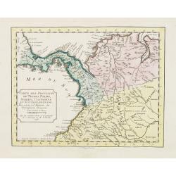
Carte des Provinces de Tierra Firme Darien Cartagene ..
Uncommon edition of this accurate map showing covering Panama and Colombia, the ranges and villages of numerous Indian tribes are shown.FromAtlas Portatif pour servir a l...
Place & Date: Amsterdam, 1756
Selling price: $150
Sold in 2008
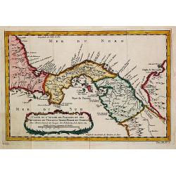
Carte de Isthme de Panama et des Provinces de Veragua, Terre Ferme, et Darien.
Jaques Nicolas Bellin (1702-720) was the most important French hydrographer of the 18th century. Sea-atlas 'Hydrographique Français' , 1756-65, atlas to accompany Prévo...
Place & Date: Amsterdam, 1759
Selling price: $100
Sold in 2018
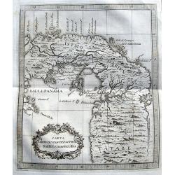
Carta Rappresentante l'Istmo di Darien o'sia di Panama.
A charming map of Panama from Coltellinis Il Gazzettiere Americano. With several town named such as Porto Bello, Panama, Crux di Juan, and Nuova Edinburg. Includes also ...
Place & Date: Livorno, 1763
Selling price: $100
Sold in 2017
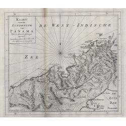
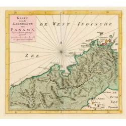
Kaart van de landengte van Panama.
Map of the Isthmus showing towns such as Panama, Chargres and Porto-Bello,&c., roads and villages of the time.
Place & Date: Amsterdam, 1765
Selling price: $40
Sold in 2008
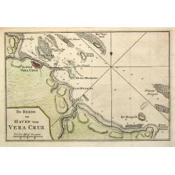
De Reede en Haven van Vera Cruz.
Izaak Tirion (d. 1769) Amsterdam publisher. His ' Nieuwe en beknopte handatlas' saw 6 editions between before 1740 and after 1784. Also ' Tegenwoordige staat van alle vol...
Place & Date: Amsterdam,1765
Selling price: $45
Sold in 2020
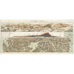
Panama Canal, Topographic, Diagramatic, and Illustrative.
Drawn in 1903, this "Topographic, Diagramatic, and Illustrative Map of the Panama Canal" illustrates the project for U.S. readers. The top panel depicts the exc...
Place & Date: Washington, D. C., 1903
Selling price: $300
Sold in 2009
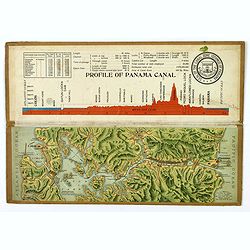
Souvenir Model of the Panama Canal.
A beautiful small profile map, on folding cardboard of the Panama Canal, by Maduro. The map is in raised profile, fully colored, and mounted on to original cardboard. The...
Place & Date: Panama, 1911
Selling price: $225
Sold in 2019
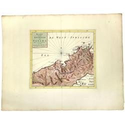
KAART van de LANDENGTE van PANAMA.
A detailed hand colored map of Panama, published in Amsterdam by Isaak Tirion. It depicts the City of Panama at the southeast, Chagres at the northwest and Porto-Bello at...
Place & Date: Amsterdam, ca 1745
Selling price: $150
Sold in 2019
Kaart van de Landengte van Panama.
Izaak Tirion (d. 1769) Amsterdam publisher. His ' Nieuwe en beknopte handatlas' saw 6 editions between before 1740 and after 1784. Also ' Tegenwoordige staat van alle vol...
Place & Date: Amsterdam, c. 1745.
Selling price: $120
Sold in 2015
![[Inca gold goes to Panama.]](/uploads/cache/40365-250x250.jpg)
![[Plans in Panama for the conquest of Peru.]](/uploads/cache/40364-250x250.jpg)
![[Pizarro forms a pact with Almagro.]](/uploads/cache/40363-250x250.jpg)
![[ Lot of 3 maps] Terra Firma et Novum Regnum.](/uploads/cache/19390-(1)-250x250.jpg)
