Browse Listings in Antique Maps > Europe > Belgium > Belgium Provinces
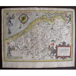
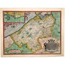
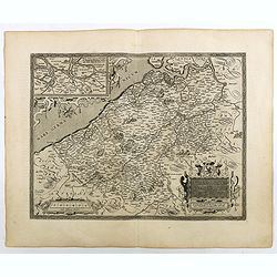
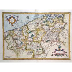
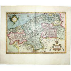
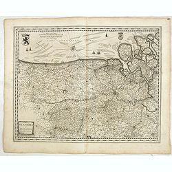
Exactissima Flandriae Descriptio
Rare Lafreri style map of the County of Flanders (BE) published by Domenico Zenoi, Venice 1559. One of the earliest maps of Flanders. Based on Gerard Mercator's 4-sheet m...
Place & Date: Venice, 1559
Selling price: $2175
Sold in 2022
Particvliere description de Flandres.
Famous bears’ map of Flanders, showing the four bears reflecting the four baronies of Flanders and their flags: Syson, Heyne, Pamele en Boelare. Charming bird’s-eye m...
Place & Date: Antwerp, 1567
Selling price: $285
Sold in 2020
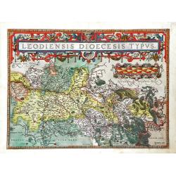
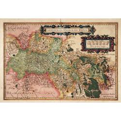
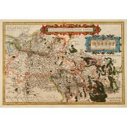
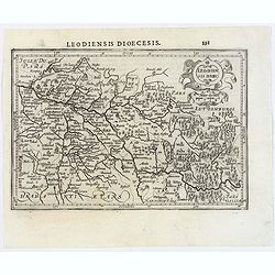
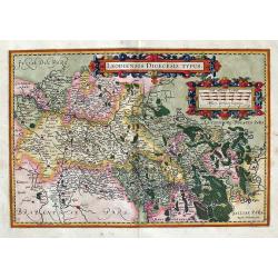
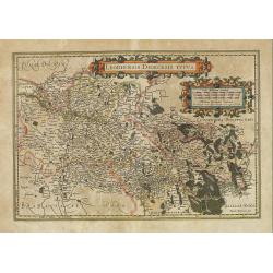
Leodiencsis Dioecesis Typus.
Map of eastern Belgium region from Ortelius' Theatrum Orbis Terrarum. Shows the Meuse River and the cities located on the river, such as Namur, Liege and Maastricht. Beau...
Place & Date: Antwerp, 1570
Selling price: $400
Sold in 2010
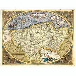
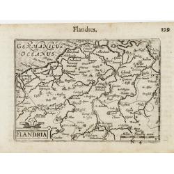
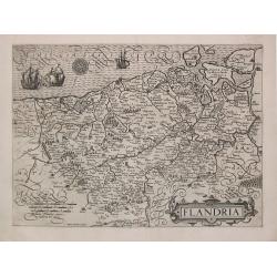
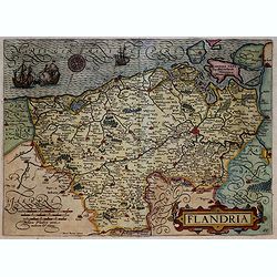
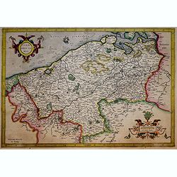
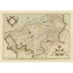
Flandria.
Very decorative, egg-shaped map. This is the early state with the farmer's wife and three ships in the North Sea.
Place & Date: Antwerp, 1570
Selling price: $650
Sold in 2015
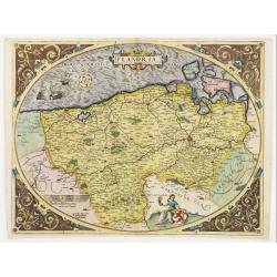
Flandria
A very decorative, unusual, egg-shaped map of Flanders. This is the early state with the farmer's wife and three ships in the North Sea. Nice colors, enhanced by gold.
Place & Date: Antwerp, 1572
Selling price: $360
Sold in 2018
Flandria
Beautiful old colored copy of the Ortelius/Mercator map of Flanders, published in the 1573 Latin edition of ´Orbis Terrarum..´. Only 75 copies of these were printed! Ac...
Place & Date: Antwerp, 1573
Selling price: $475
Sold in 2022
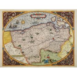
Flandria.
Map of Flanders. Very decorative, egg-shaped map. This is the early state with the farmer's wife and three ships in the North Sea.
Place & Date: Antwerp 1574-1575
Selling price: $1150
Sold
Flandria.
Very decorative, egg-shaped map. This is the early state with the farmer's wife and three ships in the North Sea.
Place & Date: Antwerp, 1574-1575
Selling price: $1200
Sold in 2008
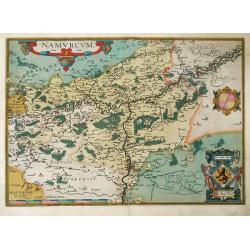
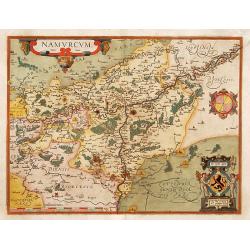
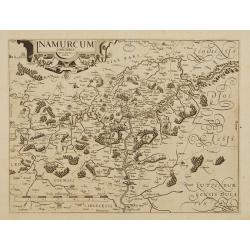
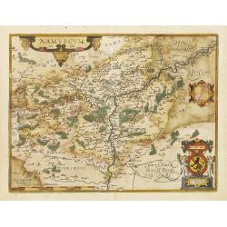
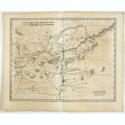
Namurcum Comitatus
Fine map of Walloon region of Belgium, prepared by Jacques Surhon and published by Ortelius. The Walloon capital city of Namur is shown in the center of the map. The citi...
Place & Date: Antwerp, 1579
Selling price: $120
Sold in 2010
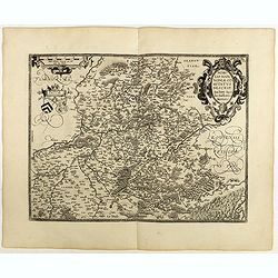
Episcopatus Leodiensis / Bisthumsg. Luttich Leuesche De Liege.
A very rare map of the area around Liege. Extends until Frankfurt, Namur and Antwerp. Engraved by Frans Hogenberg for an Atlas by Johannes Metellus!
Place & Date: Cologne, ca 1590
Selling price: $200
Sold in 2018
De quator Nobilis Potentissimisq Belgicae Civitativus Antverpia, Mechlinia, Bruxella, Grandauo . . .
Early print showing a army position near the town of Dreux in France on 14 March 1590 during the French Wars of Bird's-eye view map of Brabant, showing Antwerp, Gent, Vil...
Place & Date: Cologne, 1590
Selling price: $400
Sold in 2021
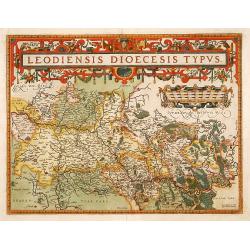
Leodiensis Dioecesis Typus
Map of eastern Belgium region from Ortelius' Theatrum Orbis Terrarum. Shows the Meuse River and the cities located on the river, such as Namur, Liege and Maastricht. A be...
Place & Date: Antwerp, 1592
Selling price: $165
Sold in 2010
Flandriae Comitatus Descripto.
Colorful map of Belgium focuses on Flanders, the Dutch speaking region in northern Belgium, after Gerard Mercator. Many major cities and religious centers, including Ghen...
Place & Date: Amsterdam, 1595
Selling price: $800
Sold in 2010
Leodiensis Diocesis Typus.
East to the top. Centered on Liege, including southern part of Dutch Limburg. Prepared by Jan van Schille.
Place & Date: Antwerp 1598
Selling price: $540
Sold in 2009
Namurcum Comitatus.
Prepared by Jacques Surhon in 1555. His manuscript map was for security reason not published. Only in 1579, when Antwerp was independent for a short time, Ortelius used a...
Place & Date: Antwerp 1598
Selling price: $525
Sold in 2009
Nobilis Hanoniae Comitatus descrip.
Including part of Belgium and northern part of France.
Place & Date: Anvers, 1598
Selling price: $350
Sold in 2009
Nobilis Hanoniae Comitatus descrip.
Including part of Belgium and the northern part of France.Dare to go in Black. All early maps were printed in black and white, and many were kept that way for a long time...
Place & Date: Antwerp, 1598
Selling price: $85
Sold in 2018
Flandriae Comitatus Descriptio.
Very fine map of Flanders, after Gerard Mercator's map of 1540. Dare to go in Black. All early maps were printed in black and white, and many were kept that way for a ...
Place & Date: Anvers, 1598
Selling price: $240
Sold in 2018
Leodiensis Dioecesis Typus.
Engraved by Baptist Doetecum. East to the top. Showing the River Maas up to Roermond.
Place & Date: Amsterdam, 1600
Selling price: $210
Sold in 2015
Leodiensis Dioecesis Typus.
Engraved by Baptist Doetecum. East to the top. Showing the River Maas up to Roermond.
Place & Date: Amsterdam, 1600
Selling price: $150
Sold in 2018
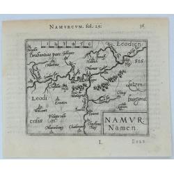
Namur Namen.
A striking, Langenes miniature 1602 copper engraved map of Namur in Belgium. With French text on the verso.BARENT LANGENES (1598-1610) was a publisher in Middelburg about...
Place & Date: Middleburg, 1602
Selling price: $17
Sold in 2020
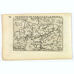
Namur.
A lovely miniature map of Namur. It has an attractive strap-work title, and has detailed topography and information. Bertius (1565-1629) was a Flemish cartographer, theol...
Place & Date: Amsterdam, 1606
Selling price: $25
Sold in 2020
Descriptio Comitatus Hannoniae.
A striking miniature 1606 copper engraved map of the Hainaut Province, in the Wallonia region of Belgium. The title is inside a strap-work cartouche. The map is orienta...
Place & Date: Amsterdam, 1606
Selling price: $15
Sold in 2020
Flandria.
A decorative map of Flanders including the towns of Gent, Bruges, Ostend, Lille, Dunkerque/Duunkerke and many others.From the first French-text edition of Jodocus Hondius...
Place & Date: Amsterdam, 1608
Selling price: $82
Sold in 2011
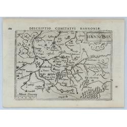
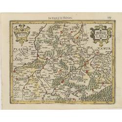
Hannonia.
Small map of a part of Belgium, with major cities named. Strapwork title cartouche and scale of miles cartouche at the top.From the first French-text edition of Jodocus H...
Place & Date: Amsterdam, 1608
Selling price: $35
Sold in 2011
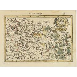
Leodiensis Dioec.
East to the top. Centered on Liege, including southern part of Dutch Limburg. It shows the River Maas up to Roermond.From the first French-text edition of Jodocus Hondius...
Place & Date: Amsterdam, 1608
Selling price: $36
Sold in 2011
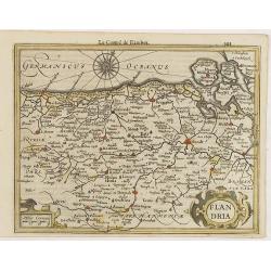
Flandria.
A lovely, decorative map of Flanders, including the towns of Gent, Bruges, Ostend, Lille, Dunkerque/Dunkerque and many others. Embellished with a wind rose, and a small m...
Place & Date: Amsterdam, ca 1608
Selling price: $25
Sold in 2020
Leodiensis Dioecesis.
East is at the top. Centered on Liege, including southern part of Dutch Limburg. It shows the River Maas up to Roermond.With good map detail. From the Latin text edition ...
Place & Date: Amsterdam, 1608
Selling price: $40
Sold in 2020
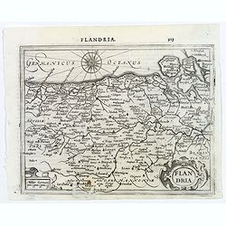
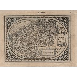
Flandria.
A miniature map including both part of France and Belgium. Title cartouche on the lower left corner.First published in 1598 in his Caert-Thresoor, the plates were execute...
Place & Date: Amsterdam/Frankfurt 1609
Selling price: $60
Sold
Flandria Comit.
Finely detailed map of of Belgium region from the Mercator/Hondius atlas. Accompanying French text is on verso. Shows cities of Brussels and Antwerp in the west, Namur in...
Place & Date: Amsterdam, 1610
Selling price: $380
Sold in 2010
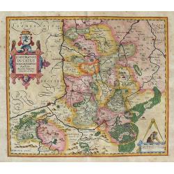
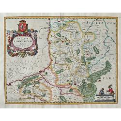
Limburgensis Ducatus Nova Descriptio.
An early and uncommon map of the former duchy of Limburg in what is today's Belgium and Holland, compiled by Agidio Martini in 1603.Martini, a mathematician in Antwerp, w...
Place & Date: Amsterdam, c1611
Selling price: $35
Sold in 2016
Nobilis Hanoniae Comitatus descrip.
Including part of Belgium and northern part of France. Copper engraving with Spanish text on verso. From the last edition of Ortelius' Atlas in 1612, Spanish text.Prepare...
Place & Date: Antwerp 1584-1612
Selling price: $400
Sold
Namurcum.
From Ludovico Guicciardini.'s description of the Netherlands ' Beschrijvinghe van alle de Nederlanden anderssins ghenoemt Neder-Duytslandt ', published by Willem Blaeu.A ...
Place & Date: Amsterdam, W.Blaeu, 1612
Selling price: $200
Sold
Flandria.
From Ludovico Guicciardini.'s description of the Netherlands ' Beschrijvinghe van alle de Nederlanden anderssins ghenoemt Neder-Duytslandt ', published by Willem Blaeu.A ...
Place & Date: Amsterdam, W.Blaeu, 1612
Selling price: $300
Sold
Hannonia.
From Ludovico Guicciardini.'s description of the Netherlands ' Beschrijvinghe van alle de Nederlanden anderssins ghenoemt Neder-Duytslandt ', published by Willem Blaeu.A ...
Place & Date: Amsterdam, W.Blaeu, 1612
Selling price: $235
Sold
Namurcum Comitatus.
Copper engraving with Spanish text on verso. From the last edition of Ortelius' Atlas in 1612, Spanish text.Prepared by Jacques Surhon in 1555. His manuscript map was for...
Place & Date: Antwerp, 1612
Selling price: $100
Sold in 2017
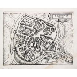
Beaumontin huinot.
From Ludovico Guicciardini.'s description of the Netherlands ' Beschrijvinghe van alle de Nederlanden anderssins ghenoemt Neder-Duytslandt ', published by Willem Blaeu.A ...
Place & Date: Amsterdam, W.Blaeu, 1612
Selling price: $20
Sold in 2020
Flandria.
Very decorative map of Flanders,engraved by Petrus KAERIUS. From "Beschryvinghe van alle de Nederlanden anderssins ghenoemt Neder-Duytslandt" by Lodovico Guicci...
Place & Date: Amsterdam, 1612
Selling price: $144
Sold in 2018
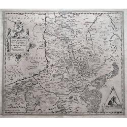
LIMBURGENSIS DUCATUS NOVA DESCRIPTIO Auctore Aegido Martini Anno Domini 1603.
Decorative map of Belgium that is centered roughly on the Meuse River (Latin Mosa)and its cities of Hoy, Liege, Maastricht, etc. Finely detailed to show numerous towns an...
Place & Date: Amsterdam, (1611) 1613
Selling price: $100
Sold in 2013
Leodiensis Dioecesis Typus. Baptista Doetecomius sculp.
Detailed map of Belgium centered on Leige. Highly map with numerous cities (including Maastricht, Wyck, Namur, etc.), towns, and villages depicted. Extends to Brabant wit...
Place & Date: Amsterdam, (1606) 1613
Selling price: $65
Sold in 2014
Comitatus Flandria.
Rare and decorative oval map in a rectangular frame, the corners decorated with ornaments. Abraham Goos figures among map publishers in Amsterdam as one of the little kno...
Place & Date: Amsterdam, 1616
Selling price: $200
Sold in 2008
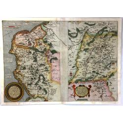
Caletensium et Bononiensium Ditionis Accurata Delineatio; Vermanduorum Eorumque Confinium Exactissima (2 Maps)
Two fine detailed regional maps by Ortelius. The first map shows the Belgian and French Coastal region, from Estaples to Gruerlinge. The second map shows the region Cente...
Place & Date: Antwerp, 1616
Selling price: $65
Sold in 2016
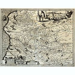
Artesiae Comitatus (Artois)
FIRST STATE. Scarce and decorative map of Artois. With insets. Out of the famous atlas of the Low Countries by Kearius "Germania Inferior" 1617. Latin text on v...
Place & Date: Amsterdam, 1617
Selling price: $70
Sold in 2020
Flandriae pars orientalis (Oost Vlaanderen)
Scarce and fine map of East Flanders. Centered around the towns of Gent and Bruges. With insets. Out of the famous atlas of the Low Countries by Kearius "Germania In...
Place & Date: Amsterdam, 1617
Selling price: $100
Sold in 2020
Flandria Comit.
Exquisite map of Flanders, issued in Amsterdam by the Hondius dynasty and directly based on the innovative triangular work by the great Flemish cartographer Gerardus Merc...
Place & Date: Amsterdam, 1623
Selling price: $210
Sold in 2020
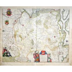
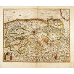
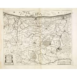
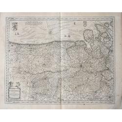
No title. [Flanders]
Map depicting eastern part of Flemish Flanders.
Place & Date: Amsterdam, 1630
Selling price: $55
Sold in 2024
Leodiensis Dioecesis Typus.
Engraved by Baptist Doetecum. East to the top. Showing the River Maas up to Roermond.
Place & Date: Amsterdam, 1630
Selling price: $85
Sold in 2015
Flandria Comit.
Standard map of Flandria.
Place & Date: Amsterdam, 1630
Selling price: $150
Sold in 2019
Flandria Comit.
Standard map of Flandria.
Place & Date: Amsterdam, 1630
Selling price: $278
Sold in 2011
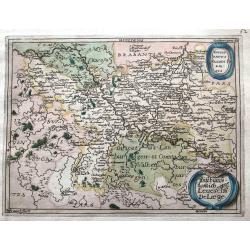
Leodiensis Dioecesis.
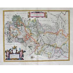
This is a rare proof state of Blaeu's map of Leige. It is only known in the relatively scarce Novus Atlas by Willem Blaeu, published in Amsterdam in 1634-1635. The proo...
Place & Date: Amsterdam, 1634
Selling price: $175
Sold in 2012
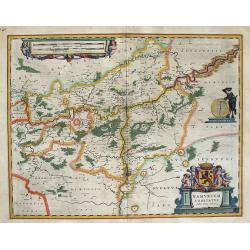
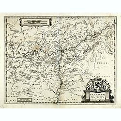
NAMURCUM COMITATUS Auctore Iohann Surhino.
This is Blaeu’s highly decorative map of the region of Namur in Belgium. Willem Janszoon, or Willem Jansz Blaeu (1571-1638) as he is more commonly known, was one of t...
Place & Date: Amsterdam, 1634
Selling price: $50
Sold in 2014
Ducatus Limburgum Auctore Aegido Martini. Amsterdami Apud Guiljelmum et Joannem Blaeu.
First appearance of this map in an atlas (the 1634 Atlas Novus). Decorative map of Belgium that is centered roughly on the Meuse River (Latin Mosa)and its cities of Hoy,...
Place & Date: Amsterdam, 1634
Selling price: $100
Sold in 2013
Flandria et Zeelandia Comitatus.
Includes Flanders and Zeeland. The map was originally engraved in 1641 for Sanderus 'Flandria Illustrata', was used several times in Blaeu's atlases.A highly detailed map...
Place & Date: Amsterdam, 1634
Selling price: $60
Sold in 2015
Comitatum Hannoniae et Namurci descriptio.
This is Blaeu’s map of the Belgium region of Hainaut and Namur. Numerous towns and villages are on the map. In the lower right corner is the title cartouche with two co...
Place & Date: Amsterdam, 1634
Selling price: $50
Sold in 2015
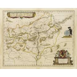
Namurcum comitatus Auctore Johann Surhonio.
FIRST EDITION, FIRST ISSUE OF THIS MAP IN A PROOF STATE. From the 1634 edition of Blaeu's Atlas Novus, the first edition of this work and the very first time Blaeu printe...
Place & Date: Amsterdam, 1634
Selling price: $65
Sold in 2017
Comitatus Flandriae nova Tabula.
Fine map of flanders showing Bruges, Gant, Bruxelles, Anvers and Bergen op Zoom.In original outline line color, with some later color additions.
Place & Date: Amsterdam 1638
Selling price: $70
Sold in 2014
Pars Flandriae orientalis..
Detail of the eastern part of Flemish Flanders: the Liberty of Bruges with the island of Cadzand. Including the towns of Ghent, Sluis, Bruges and Ostend.In original outli...
Place & Date: Amsterdam 1638
Selling price: $50
Sold
Flandria Gallica..
Detail of the southern part of Flanders centered on Lille.
Place & Date: Amsterdam 1638
Selling price: $50
Sold
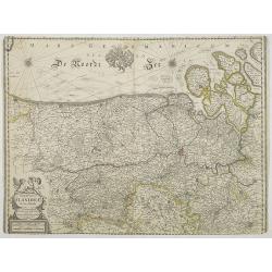
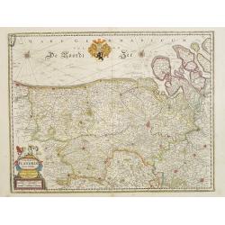
[Untitled chart of Flanders]
Fine map of flanders showing Bruges, Gant, Bruxelles and Anvers.
Place & Date: Amsterdam 1638
Selling price: $50
Sold
Comitatuum Hannoniae et Namurci..
Southern part of Belgium, including Namen and Henegouwen.
Place & Date: Amsterdam 1638
Selling price: $50
Sold
Comitatus Flandriae. . .
Map of Flanders prepared by Jodocus Hondius, the famous mapmaker. A beautiful ornamental title cartouche located on the lower left corner. Nicely ornate hand colored coat...
Place & Date: Amsterdam, 1638
Selling price: $300
Sold in 2008
Flandriae pars occidentalis.
Rare map of Flanders with the city of Dunkerque shown and a huge fleet of ships. The interior is well engraved with forests and towns. With nice cartouche with agricultur...
Place & Date: Amsterdam, ca. 1638
Selling price: $150
Sold
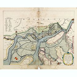
Tabula Castelli ad Sandflitam,..Bergas ad Zomam et Antverpi
East is at the top. The map pictures the complex military situation that had developed after the Dutch blockade of Antwerp. All entrenchment's and fortresses marked by a ...
Place & Date: Amsterdam, 1638
Selling price: $60
Sold in 2017
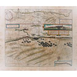
Pascaert vande Custe van Vlaenderen, van Walcheren tot Cales en Bouloigne in Vranckrijck.
A very decorative, large sea map, oriented south-westward. The upper part depicts the coastal region of Flanders, the lower part specifically the cost of Dünkirchen. Wit...
Place & Date: Amsterdam, 1638
Selling price: $120
Sold in 2018
Namurcum Comitatus.
Decorative map centred on Namen. With three very fine cartouches.
Place & Date: Amsterdam, 1639
Selling price: $50
Sold in 2023
Namurcum comitatus.
Very rare map of the province Namen by Cornelis Danckerts. Depicting the region around the city of Namen/Namur based on the once-secret map of Jacques Surhon (ca. 1555). ...
Place & Date: Amsterdam / Paris, ca. 1640
Selling price: $250
Sold in 2022
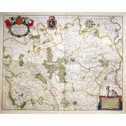
Secunda Pars Brabantiae cuiuc urbs primaria Bruxellae.
A clean example of Blaeu's map of the region of Brabant with Bruxelles, Mechelen and Louven. The map has a decorative cartouche, four coats of arms, compass rose and a mi...
Place & Date: Amsterdam, 1640
Selling price: $165
Sold in 2017
Flandria et Zeelandia Comitatus.
A decorative, large map including Flanders and Zeeland. The map, originally engraved in 1641 for Sanderus 'Flandria Illustrata', was used at different times in Blaeu's va...
Place & Date: Amsterdam, 1640
Selling price: $60
Sold in 2018
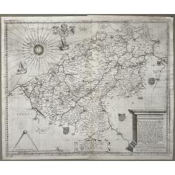
No title. (East Flanders)
Engraved by Kaerius in 1605. The cartouche at top right-hand corner testifies to acts of war from 1600 to 1605.
Place & Date: Amsterdam, 1643
Selling price: $100
Sold
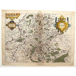
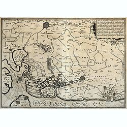
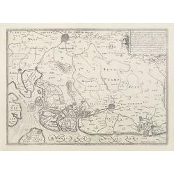
[No title] - In inset: Habes hic Novam & Accuratissimam Descriptionem Tractus Illius Flandriae?
map of Noord-West Vlaanderen, engraved by Petrus Kaerius in 1605. The cartouche at top right-hand corner testifies to acts of war from 1600 to 1605.From: Petri Kaerii Ger...
Place & Date: Amsterdam, 1643
Selling price: $300
Sold in 2009
Tertia Pars Brabantiae qua continetur Marchionat S.R.I. horum urbs primaria Antverpia ex Archetypo Michaelis Florenty a Langren Reg. Maj. Mathematico
This map shows a part of the duchy of Brabant in the Netherlands with Antwerp, Loewen towards Breda. The map has eight coat of arms. An attractive figurative title cartou...
Place & Date: Amsterdam, 1643
Selling price: $100
Sold in 2020
Comitatus Flandriae Nova Tabula.
Map of Flanders prepared by Henricus Hondius, the famous mapmaker.A beautiful ornamental title cartouche located on the lower left corner. Dedicated to Dr. Ionni d'Hondt.
Place & Date: Amsterdam, 1645
Selling price: $170
Sold in 2009
Hannonia, Pays de Haynault Tenu de Dieu & du Soleil.
Detailed copper engraved map of Hainaut, a province in Wallonia, a region of Belgium. It has three strapwork cartouches. From Ludovico Guicciardini's "Description d...
Place & Date: Amsterdam, 1645
Selling price: $35
Sold in 2013
Flandriae Partes duae quarum altera proprietaria . . .
Splendid map of Flanders centered on Gent. in lower right corner Antwerp and Vlissingen in top right. At bottom left a very decorative cartouche with a dedication to Jaco...
Place & Date: Amsterdam, ca. 1645
Selling price: $60
Sold in 2018
Tabula Castelli ad Sandflitam,..Bergas ad Zomam et Antverpi
East is at the top. The map pictures the complex military situation that had developed after the Dutch blockade of Antwerp. All entrenchment's and fortresses marked by a ...
Place & Date: Amsterdam, 1645
Selling price: $80
Sold in 2017
Prima pars Brabantiae cuius caput Lovanium.
Decorative map centered on Tienen and Leuven. West to the top.More about maps by Willem Blaeu. [+]
Place & Date: Amsterdam, 1645
Selling price: $200
Sold
Flandriae Teutonicae pars orientalior.
Detail of the eastern part of Flemish Flanders: the Liberty of Bruges with the island of Cadzand. . . The towns of Ghent, Sluis, Bruges, Ostend and many others.More about...
Place & Date: Amsterdam, 1645
Selling price: $100
Sold in 2020
Flandriae Partes duae quarum altera proprietaria . . .
A very detailed map with Gent in the center. Lower right corner Antwerp and Vlissingen in top right. At bottom left a very decorative cartouche with a dedication to Jacob...
Place & Date: Amsterdam, 1645
Selling price: $190
Sold in 2021
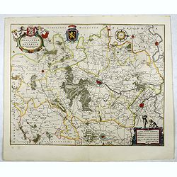
Secunda pars Brabantiae cuis urbus primaria Bruxellae . . .
At the upper left the title cartouche, decorated with two angels holding the heraldic arms of Brussels, Nijvel and Vilvoorde, next to it that of Brabant.More about maps b...
Place & Date: Amsterdam, 1645
Selling price: $85
Sold in 2017
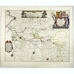
Mechlinia Dominium, et Aerschot Ducatus.
On the upper right a beautiful title cartouche embellished with two female figures of whom the one on the right is Justice. This splendid Blaeu map gives a survey of the ...
Place & Date: Amsterdam, 1645
Selling price: $55
Sold in 2017




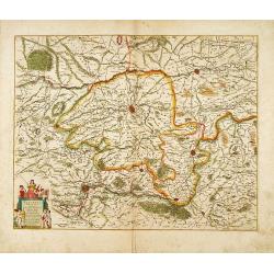
![No title. [Flanders]](/uploads/cache/12185-250x250.jpg)
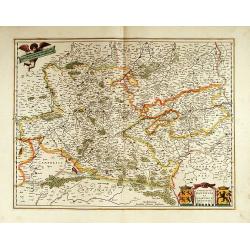
![[Untitled chart of Flanders]](/uploads/cache/15777-250x250.jpg)
![[No title] - In inset: Habes hic Novam & Accuratissimam Descriptionem Tractus Illius Flandriae?](/uploads/cache/23909-250x250.jpg)
