Browse Listings in Antique Maps > Europe > Belgium > General
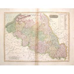
The Netherlands.
Striking large hand-colored map of The Netherlands. From John Thomson's "New General Atlas",/b> published in 1817. Engraved by J. Moffat.
Place & Date: Edinburgh, 1817
Selling price: $44
Sold in 2018
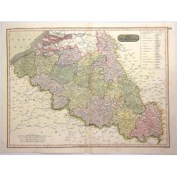
The Netherlands.
A pleasing hand colored 1817 map of Holland by Thomson, engraved in the minimalist English style of the early part of the 19th century. Relief is shown by hachure with to...
Place & Date: Edinbourgh, 1817
Selling price: $25
Sold in 2019
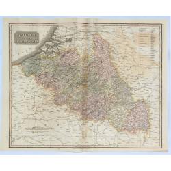
Belgium or the Netherlands.
A striking 1817 map of Belgium and Luxembourg by the Edinburgh cartographer John Thomson. The title ‘The Netherlands’ refers to the old name for Belgium covering the ...
Place & Date: Edinbourgh, 1817
Selling price: $49
Sold in 2018
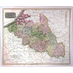
The Netherlands (Belgium and Luxemburg)
A fine map of Belgium and Luxembourg by John Thomson, the Edinburgh cartographer. The title ‘The Netherlands’ refers to the old name for Belgium. The map covers the r...
Place & Date: Edinbourgh, 1817
Selling price: $21
Sold in 2016
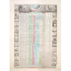
Tableau historique et chronologique du Royaume de Belgique ainsi que du Royaume Neerlandais depuis la plus haute antiquité jusqu'à nos jours
According to the text below, an "Nouvelle edition" of the decorative sheet giving a historical overview of the history of Belgium and events in the Netherlands.
Place & Date: Paris, 1845
Selling price: $50
Sold in 2014
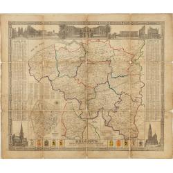
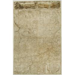
Belgique divisée en provinces et arrondissemens. . .
Scarce large size map of Belgium and Luxembourg, by D. Raes, and engraved by De Lahoese.The map is surrounded by views of important buildings, calenders of the years 1855...
Place & Date: Bruxelles, c1852
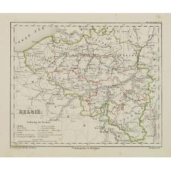
België.
Uncommon map of Belgium. Lithography by J.H. van Weijer, published in Atlas der geheele Aarde [?] in 24 kaarten.
Place & Date: Groningen, ca. 1860
Selling price: $30
Sold in 2008
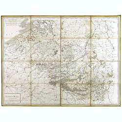
Pays-Bas en 4 Feuilles.
Uncommon map of present-day Belgium. Engraved by P.F.Tardieu. Text engraved by Aubertz.
Place & Date: Paris, 1860
Selling price: $50
Sold in 2019
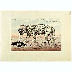
Une bête fauve rôde sur notre frontière et bave sur la noble Belgique!! Sus à cette honte de l'Europe. N°2.
Scarce plate in original hand colors figuring Wilhelm II as a wild beast walking along the French border and drooling on Belgium. Signed and dated in the plate "G. B...
Place & Date: Paris, 1914
Selling price: $500
Sold in 2018
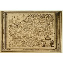
Carte du Comté de Flandre, suivant les nouvelles observations..
Including Belgium and Brabant. With decorative title cartouche lower right corner.This example is unusual in having the additional separately engraved decorative framewor...
Place & Date: Amsterdam 1728.
Selling price: $120
Sold
Carte de la principauté de Liege et de ses environs..
Map of present-day Dutch and Belgium Brabant and Liege, with an imposing title cartouche Carte de la pricipauté de Liége et de ses environs tirée des observations fait...
Place & Date: Liege 1748 or later.
Selling price: $450
Sold
