Browse Listings in Antique Maps > Europe > British Isles > British Counties
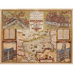
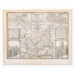
Middle-Sex described with the most famous cities of London and Westminster.
One of the most famous and sought-after of Speed's County maps. The County of Middlesex surrounded by a splendid border incorporating a plan of Westminster and London. In...
Place & Date: London 1610-1623
Selling price: $1950
Sold
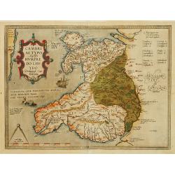
Cambriae Typus..
Ancient map of Wales, prepared by Humphrey Lhuyd. With fine cartouche, ship and a sea monster.
Place & Date: Antwerp 1579
Selling price: $390
Sold
De Zee Custen tuschen Dovere eñ Orfordts nesse, daer de Teemse de Vermaerde Riviere vã Lõnen gelegens is, met alle sanden ondiepte, naer haren wesen eñ ghedaente / Orae maritimae inter Doverium et Ortfortnissam &tc.
Lucas Janszoon Waghenaer (1533/4-1606) published in 1583 his famous pilot-guide ' Spieghel der Zeevaerdt', the first printed pilot-guide with charts, in 1592 he published...
Place & Date: Leiden, 1585
Selling price: $1850
Sold in 2008
Zee caerte van Engelants Eijndt, Alsoe hem tselfde Landt verthoont beginnende van Sorlinges tot Pleijmondt . . .
A detailed chart of the sea coast of England, from the Sorlinges islands to the Plymouth region along the English Channel decorated by a very colorful title cartouche and...
Place & Date: Leiden, Plantijn, 1585
Selling price: $2200
Sold in 2009
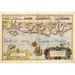
Befchrijvinghe der Zee, custen van Engelandt, tusschen Pleijmouth en Porthlandt. . .
A detailed chart of the sea coast of England, from Plymouth region along the English Channel to Portland decorated by a very colorful title cartouche and scale cartouche,...
Place & Date: Leiden, Plantijn, 1585
Selling price: $2400
Sold in 2009
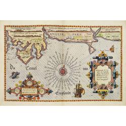
Befchrijvinghe der Zeecusten van Engelandt tusschen Wicht ende Doveren. . .
A detailed chart of the English channel coastland, from the island of Wight to Dover. Decorated by a very colorful title cartouche and scale cartouche, one compass rose, ...
Place & Date: Leiden, Plantijn, 1585
Selling price: $3400
Sold in 2008
Zee Caerte vande Noordt custe van Engelandt, alsoe tzelffde landt aldaer. . .
A detailed chart of the northern coast of England. Decorated by a colorful title cartouche and scale cartouche, one compass rose, several vessels. A very early edition ra...
Place & Date: Leiden, Plantijn, 1585
Selling price: $2600
Sold in 2008
Zee Caerte vande Noordt custe van Engelandt, alsoe tzelffde landt aldaer. . .
A detailed description of the northern coast of England. Decorated by a title cartouche and scale cartouche, one compass rose, several vessels. A very early edition rare ...
Place & Date: Leiden, Plantijn, 1585
Selling price: $1000
Sold in 2016
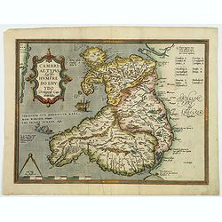
Cambriae Typus Auctore Humfredo Lhuydo Denbigiense Cambrobritano.
A beautiful hand colored copper-engraved map of Wales. It is the first separately printed map of Wales, by Humphrey Lhuyd. This is the second variant of the Ortelius publ...
Place & Date: Antwerp, ca 1595
Selling price: $120
Sold in 2019
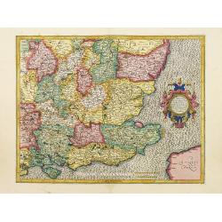
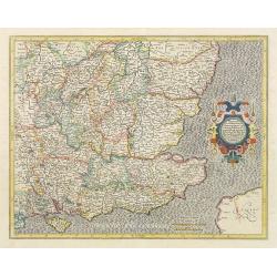
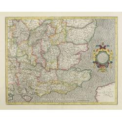
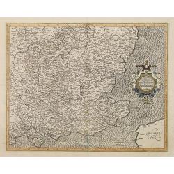
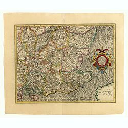
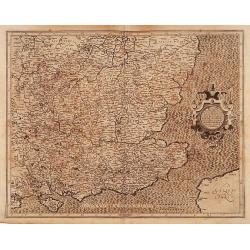
Warwicum Northamtonia Huntingdonia Cantabrigia..
A map of the south-eastern part of England.Mercator was born in Rupelmonde in Flanders and studied in Louvain under Gemma Frisius, Dutch writer, astronomer and mathematic...
Place & Date: Amsterdam 1606
Selling price: $140
Sold
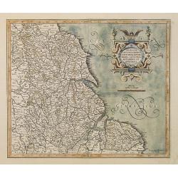
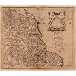
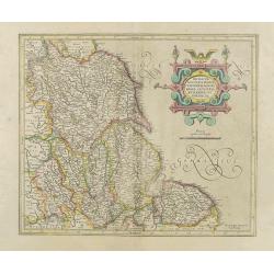
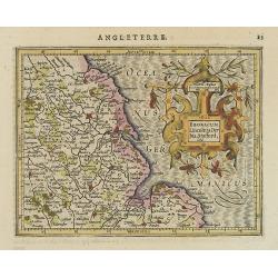
Eboracum, Lincolnia, Derbia, Staffordia, Notinghamia..
Map of the eastern part of England from about Middlesbrough to Yarmouth, inland to include Coventry, Nottingham, Sheffield, Leeds, and York.Mercator was born in Rupelmond...
Place & Date: Amsterdam 1606
Selling price: $110
Sold
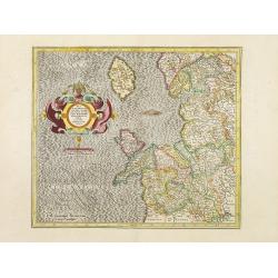
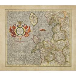
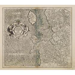
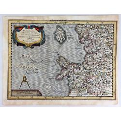
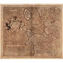
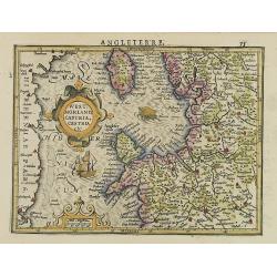
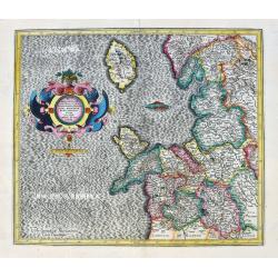
West Morlandia, Lancastria..
A map of the north-western part of England, including the Island of Man.Mercator was born in Rupelmonde in Flanders and studied in Louvain under Gemma Frisius, Dutch writ...
Place & Date: Amsterdam 1606
Selling price: $110
Sold
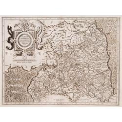
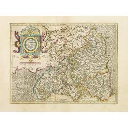
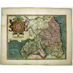
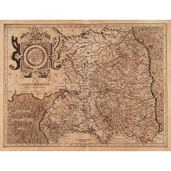
Northumbria, Cumberlandia et Dunelmensis Episcopatus.
A map of the most northern part of England.Mercator was born in Rupelmonde in Flanders and studied in Louvain under Gemma Frisius, Dutch writer, astronomer and mathematic...
Place & Date: Amsterdam 1606
Selling price: $120
Sold in 2015
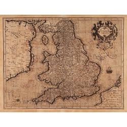
Anglia regnum.
Counties are shown in outline and named. The coast of Ireland is shown across the Irish Sea.Mercator was born in Rupelmonde in Flanders and studied in Louvain under Gemma...
Place & Date: Amsterdam 1606
Selling price: $300
Sold
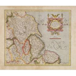
Eboracum, Lincolnia, Derbia, Staffordia, etc.
Map of the eastern part of England from about Middlesbrough to Yarmouth, inland to include Coventry, Nottingham, Sheffield, Leeds, and York.Mercator was born in Rupelmond...
Place & Date: Amsterdam, 1606
Selling price: $170
Sold
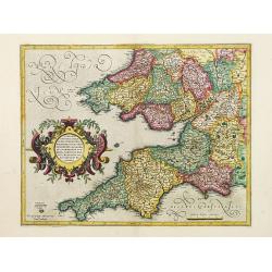
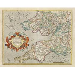
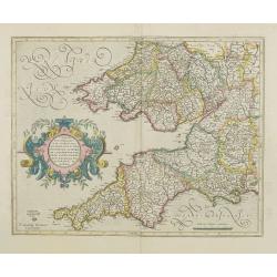
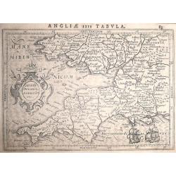
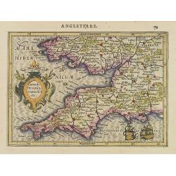
Cornub Devonia Somerset etc. ANGLIAE IIII TABULA.
Mercators map of Southwest England and South Wales. Decorated with a small strapwork title cartouche ‘Cornub. Devonia. Somerset etc.’From the Latin text edition of Jo...
Place & Date: Amsterdam, 1607
Selling price: $150
Sold in 2014
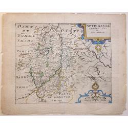
NOTINGAMIAE Comitatus olim pars Coritanorum.
1607 first edition Latin text verso. A very attractive and detailed early 17th Century map of Nottinghamshire - based on the first survey of England by Christopher Saxton...
Place & Date: London, 1607
Selling price: $120
Sold in 2020
Eboracum Lincolnia Derbia, Stafford, etc.
Charming map of eastern England with a strap work title cartouche. From the first French-text edition of Jodocus Hondius'' Atlas Minor.Shortly after the publication of th...
Place & Date: Amsterdam, 1608
Selling price: $200
Sold in 2009
West:morland, Castria, Cestria etc.
Showing the north-western part of England, including the Island of Man, Liverpool, Blackpool, etc.From the first French-text edition of Jodocus Hondius'' Atlas Minor.Shor...
Place & Date: Amsterdam, 1608
Selling price: $90
Sold in 2020
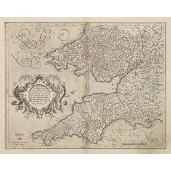
Cornub. Devonia, Somerset etc.
Nice map Southwest England and South Wales. Decorated with a small strapwork title cartouche.From the first French-text edition of Jodocus Hondius'' Atlas Minor.Shortly a...
Place & Date: Amsterdam, 1608
Selling price: $200
Sold in 2012
Northumbria, cum Berlandia, et Dunelmensis Episcopatus.
A lovely early map of border region between England and Scotland. The seas are engraved in Mercator's characteristic wave pattern and the interior is filled with detail. ...
Place & Date: Amsterdam, 1610
Selling price: $50
Sold in 2010
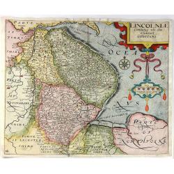
Lincolniae Comitatus Ubi Olim Insederunt Coritani.
A fine copper engraved map by William Kip, after Christopher Saxton. A map of Lincolnshire from the second edition of Philemon Holland’s translation of Camden’s Brit...
Place & Date: London, 1610
Selling price: $22
Sold in 2016
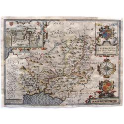
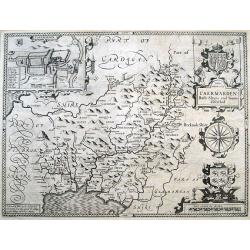
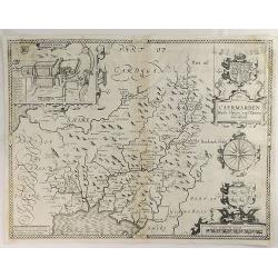
Caermarden, Both Shyre And Towne Described.
This is probably the most decorative map of Caermarden county. It has an inset plan of Caermarthen, two cartouches with armorials, wonderful compass rose and the Prince ...
Place & Date: London, 1610
Selling price: $270
Sold in 2017
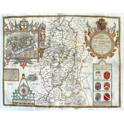
The Countie of Nottingham described. The Shire Townes Situation and the Earls there of observed.
From Speed's atlas, engraved by Jodocus Hondius. With inset plan of Nottingham. Huge, beautiful cartouche featuring putti with bow & arrows, pheasants, crown and co...
Place & Date: London, Thomas Bassett and Richard Chiswell, 1610
Selling price: $289
Sold in 2015
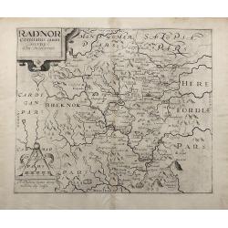
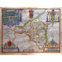
Radnor Comitatus quem Silvres.
A decorative map of the Welsh county of Radnorshire, in Mid-Wales, engraved by William Kip, after Christopher Saxton, for the second English edition of Camden's 'Britanni...
Place & Date: London, 1610
Selling price: $80
Sold in 2017
Merionethshire, Described 1610.
A beautiful Welsh county map of Merionethshire; part of the renowned “Theatre of the Empire of Great Britaine” by English cartographer John Speed. The copper plates w...
Place & Date: London, 1610
Selling price: $48
Sold in 2020
Middlesex. Midle-sex described With The Most Famous Cities Of London and Westminster.
Old outline color to map of the county delineating the hundreds. Double page. A wonderfully decorative map of Middlesex incorporating maps of London and Westminster to up...
Place & Date: London, Thomas Basset and Richard Chiswell. 1610
Selling price: $390
Sold in 2020
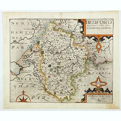
Bedford Comitatus olim pars Cathifuclanorum.
A beautiful early 17th century map of Befordshire, based on the first survey of England by Christopher Saxton, and published in Camden's Britannia (pub. London: 1607-1637...
Place & Date: London, 1610
Selling price: $200
Sold in 2021
[Berkshire]. Bercheriae vulgo Barkshyre qui olim sedes A:Trebatum.
Original uncoloured engraved map of Berkshire trimmed to neatline and backed onto 18th century laid paper. Map dimensions 23 x 32 cm, overall backing-sheet size 32 x 40 c...
Place & Date: London: Impensis Georgii Bishop & Ioannis Norton, 1610
Selling price: $90
Sold in 2023
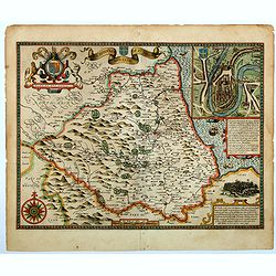
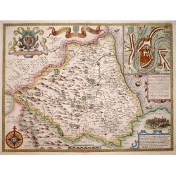
The Bishoprick and Citie of Durham.
A beautiful first edition John Speed map of Co. Durham.Aesthetically, it is considered one of the most accomplished maps in the 'Theatre', noted for its clarity and featu...
Place & Date: London, 1611
Selling price: $500
Sold in 2023
Kent with her Cities and Earls Described and Observed
A rare highly decorative and finely engraved early 17th-century map of Kent was published in John Speed's Theatre of the Empire of Great Britaine. The inset plans of Cant...
Place & Date: London, 1611
Selling price: $750
Sold in 2022
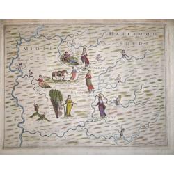
'Poly-Olbion' - Midle Sex Hartford Shyre.
A very decorative map of Middlesex and Hertfordshire, from Michael Drayton's fantastical "Poly-Olbion" or "Chorographical Description of all the Tracts, Ri...
Place & Date: London, 1612
Selling price: $400
Sold in 2018
The Bishoprick and Citie of Durham.
A highly decorative and truly stunning 17th century map of the county of Durham by John Speed which was published in his "Theatre of the Empire of Great Britaine&quo...
Place & Date: London, 1611-1612
Selling price: $650
Sold in 2014
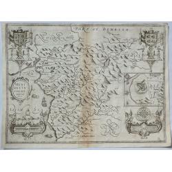
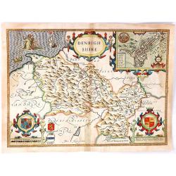
Denbighshire
A splendid antique county map of Denbighshire, located in the northwest corner of Wales from the "Theatre of Great Britaine" by John Speed, and published by J. ...
Place & Date: London, 1612
Selling price: $208
Sold in 2016
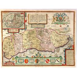
Sussex Described and divided into Rapes with the situation of Chichester the Chiefe citie thereof...
A splendid antique county map of Sussex from "Theatre of Great Britaine" by John Speed, published by J. Sudbury and George Humbell in 1612. (1st edition). The m...
Place & Date: London, 1612
Selling price: $525
Sold in 2016
Caermarden Both Shyre and Towne described.
Highly decorative map of Carmarthenshire, Wales. With an inset plan of Caermarthen, with coat of arms, a large compass rose and the Prince of Wales feathers. Provides exc...
Place & Date: London, 1612
Selling price: $125
Sold in 2016
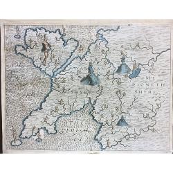
Carnarvanshyre / Merionethshyre.
An unusual antique map of Anglesey, Caernarvonshire and Merionethshire, engraved by William Hole for the "Poly- olbion" by Michael Drayton, published in 1612.Re...
Place & Date: 1612
Selling price: $300
Sold in 2020
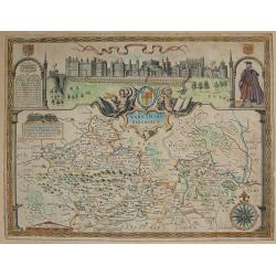
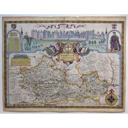
Barkshire Described.
Published in London by John Sudbury & George Humble, 1610-12 First Edition English text verso. With inset elevation of Windsor Castle. From Speed's atlas 'The Theatr...
Place & Date: London 1610-1612
Selling price: $600
Sold in 2017
Berkshire Described.
A lovely map of Berkshire from the first Sudbury & Humble edition of John Speed’s “Theatre of the Empire of Great Britain”. The top of the map shows a panoramic...
Place & Date: London, 1612
Selling price: $650
Sold in 2018
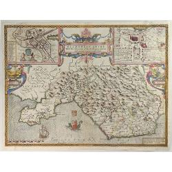
Glamorgan Shyre with the Sittuations of the Chiefe Townd Cardyff and Ancient Landaffe Described.
A nice full color example of John Speed's map of the County of Glamorgan, in south Wales, including coats of arms and a detailed town plan of Cardiff and the town of Land...
Place & Date: London, 1612
Selling price: $140
Sold in 2019
Caermarden both Shyre and Towne Described.
This is probably the most decorative map ever produced concerning the Welsh county of Caermarden (Carmarthenshire). It has an inset plan of Caermarthen, two cartouches w...
Place & Date: London, 1612
Selling price: $60
Sold in 2019
Glocestershyre [with] Parte of Worcestershyre.
Double page map. Blank on verso. Decorative map of Gloucestershire adorned with numerous illustrations of allegorical figures. The Cotswalds are represented with the illu...
Place & Date: [London, printed for M. Lownes, I.Browne, I. Helme, I. Busbie. 1612
Selling price: $310
Sold in 2020
West Morlandia, Lancastria, Cestria . . .
A fantastic map showing northern Wales with Anglesey, the Isle of Man, and parts of England including the cities of Liverpool, Manchester, Chester, Preston, Kendal, and m...
Place & Date: Amsterdam, ca. 1613
Selling price: $140
Sold in 2020
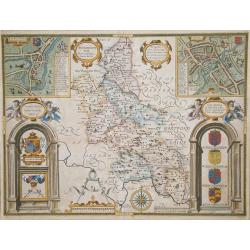
Buckinghamshire.
An attractive map of Buckinghamshire from the "Theatre of Great Britaine" by John Speed, published by George Humbell in 1614. Inset town plans of Buckingham and...
Place & Date: London, 1614
Selling price: $450
Sold in 2016
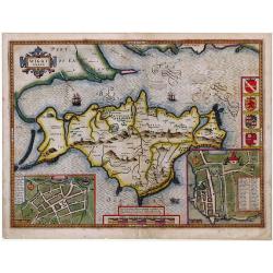
Isle of Wight.
Striking map of The Isle of Wight, by John Speed, along with town plans of Newport and Southampton.
Place & Date: London, ca. 1615
Selling price: $350
Sold in 2010
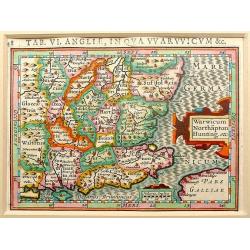
Warwicum Northapton Hunting.
Copper-engraving by P. Bertius published by J. Hondius, 1616. With small ornamental cartouche and "Miliaria Anglica" of Suffolk, Essex, Kent, East and West Suss...
Place & Date: Amsterdam, 1616
Selling price: $80
Sold in 2012
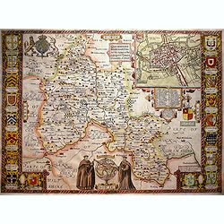
Provincia Oxoniensis/ Oxford-Shire.
An very decorative map of the county from an early edition of Speed's atlas, "Theatre of Great Britaine", with inset plan of Oxford, scale bar within a pair of ...
Place & Date: London, 1616
Selling price: $1400
Sold in 2016
The Countie of Radnor.
A decorative county map from John Speed's atlas, illustrated with a town map of Radnor.
Place & Date: London, 1618
Selling price: $350
Sold in 2010
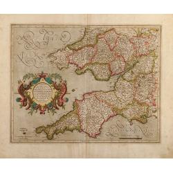
Cornubia, Devonia, Somersetus, Dorcestria, Wiltonia, Glocestria Monumetha, Glamorgan, Caermarden, Penbrok, Cardigan, Radnor, Breknoke, Herefordia, & Wigornia
Original colored map of south west England and south Wales of Gerard Mercator. From a Latin edition of the Mercator Hondius Atlases.
Place & Date: Amsterdam, 1619
Selling price: $200
Sold in 2009
Cornubia, Devonia, Somersetus, Dorcestria, Wiltonia, Glocestria, Monumetha, Glamorgan,..
southwest England and southern Wales. French text on verso.
Place & Date: Amsterdam, 1619
Selling price: $140
Sold in 2017
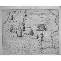
Polyolbion Bedfordshire & parts of Cambridgeshire.
Original 1622 map by Micheal Draytons Polyolbion Bedfordshire, Huntingdonshire and parts of Cambridgeshire c1622, only printed in the 1622 edition.Michael Drayton, a frie...
Place & Date: London, 1622
Selling price: $225
Sold in 2012
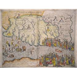
Poly-Olbion Glamorgan, Monmouthshire, Brecknockshire, Somerset. And the Severn Estuary.
The most decorative map from Drayton's fantastical 'Poly-Olbion' Engraved by William Hole for the 1622 edition of Poly-Olbion the area of Glamorgan, Monmouthshire, Brekno...
Place & Date: London, 1622
Selling price: $485
Sold in 2014
Somersetshere [with] Wiltshere.
A most decorative map of Somerset and Wiltshire. The main towns of the region - Bristol, Bath and Salisbury - are represented with standing female figures. Numerous other...
Place & Date: London, printed by Iohn Marriott, Iohn Grismand, And Thomas Dewe. 1622
Selling price: $251
Sold in 2020
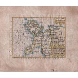
Carnarvan The Isle of Anglesey.
An extremely rare and sought-after miniature map of the county of Carnarvon and the Island of Anglesey from John Bill's "The Abridgement Of Camden's Britania ...&quo...
Place & Date: London, 1626
Selling price: $250
Sold in 2016
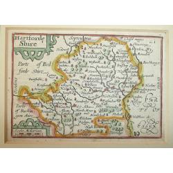
Hartforde Shire (Hertfordshire).
Fine miniature map of Hertfordshire by Pieter Van Den Keere. An attractive 17th Century map of Hertfordshire that was originally engraved between 1599 and 1605. Origina...
Place & Date: London, George Humble, 1627
Selling price: $85
Sold in 2012
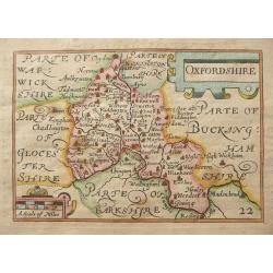
Oxfordshire.
Fine miniature map of Oxfordshire by Pieter Van Den Keere. An attractive 17th Century map of Oxfordshire that was originally engraved between 1599 and 1605. Original copp...
Place & Date: London, George Humble, 1627
Selling price: $135
Sold in 2014
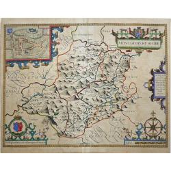
MONTGOMERY SHIRE.
An early decorative engraved 17th century map of the Welsh county of Montgomeryshire published in London and bearing the imprint of the publishers John Sudbury and George...
Place & Date: London, 1627
Selling price: $250
Sold in 2017
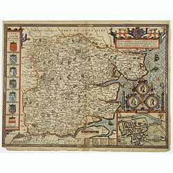
Essex, divided into Hundreds, with the most ancient and fayre Towne Colchester described. . .
A highly decorative and truly stunning 17th century map of Essex by the renowned English cartographer John Speed which was published in his Theatre of the Empire of Great...
Place & Date: London, 1627
Selling price: $250
Sold in 2020
Kent.
Miniature county map of Kent. Text on verso.
Place & Date: London, George Humble, 1627
Selling price: $80
Sold in 2020
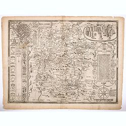
Wiltshire.
All the undoubted artistry and skill of the English cartographer John Speed. Is on display with his rendition of this English County map of Wiltshire. There are beautiful...
Place & Date: London, 1627
Selling price: $325
Sold in 2021
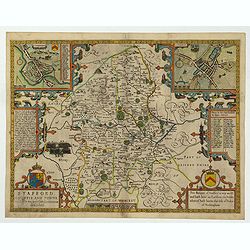
Stafford Countie and Towne with the ancient Citie Lichfield described. . .
A beautiful early edition John Speed's map of Staffordshire. As well as the county itself, the map boasts all manor of embellishments and decoration; a pair of wonderful...
Place & Date: London, 1612 - 1627
Selling price: $250
Sold in 2022
Northumbria, Cumberlandia et Dunelmensis Episcopatus.
Showing the most northern part of England.
Place & Date: Amsterdam 1630
Selling price: $100
Sold
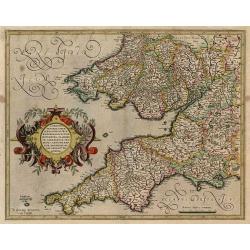
Cornubia, Devonia, Somersetus,..
A very nice map showing the south-western part of England. Mercator was born in Rupelmonde in Flanders and studied in Louvain under Gemma Frisius, Dutch writer, astronome...
Place & Date: Amsterdam 1630
Selling price: $325
Sold
Warwicum..
Nice map of south-eastern England. Includes London, Salisbury, Oxford, Cambridge, Leicester and Norwich and the Isle of Wight. Strapwork title cartouche and scale of mile...
Place & Date: Amsterdam 1630
Selling price: $150
Sold
Northumbria, Cumberlandia et Dunelmensis Episcopatus.
Showing the most northern part of England.Mercator was born in Rupelmonde in Flanders and studied in Louvain under Gemma Frisius, Dutch writer, astronomer and mathematici...
Place & Date: Amsterdam 1630
Selling price: $150
Sold
West Morlandia, Lancastria..
Showing the north-western part of England, including the Island of Man.Mercator was born in Rupelmonde in Flanders and studied in Louvain under Gemma Frisius, Dutch write...
Place & Date: Amsterdam 1630
Selling price: $180
Sold
Cornubia, Devonia, Somersetus,..
A very nice map showing the south-western part of England.Mercator was born in Rupelmonde in Flanders and studied in Louvain under Gemma Frisius, Dutch writer, astronomer...
Place & Date: Amsterdam 1630
Selling price: $210
Sold
Warwicum, Northhamtonia, Huntingdonia, Cantabrigia..
Nice map of south-eastern England. Includes London, Salisbury, Oxford, Cambridge, Leicester and Norwich and the Isle of Wight. Strapwork title cartouche and scale of mile...
Place & Date: Amsterdam 1630
Selling price: $150
Sold
Warwicum, Northhamtonia, Huntingdonia..
Nice map of south-eastern England. Includes London, Salisbury, Oxford, Cambridge, Leicester and Norwich and the Isle of Wight. Strap work title cartouche and scale of mil...
Place & Date: Amsterdam, 1630
Selling price: $170
Sold in 2008
Cornubia, Devonia, Somersetus,..
A very nice map showing the south-western part of England.Mercator was born in Rupelmonde in Flanders and studied in Louvain under Gemma Frisius, Dutch writer, astronomer...
Place & Date: Amsterdam, 1630
Selling price: $190
Sold in 2012
West Morlandia, Lancastria..
Showing the north-western part of England, including the Island of Man.Mercator was born in Rupelmonde in Flanders and studied in Louvain under Gemma Frisius, Dutch write...
Place & Date: Amsterdam, 1630
Selling price: $350
Sold in 2009
Cornubia, Devonia, Somersetus, . . .
A very nice map showing the south-western part of England.Mercator was born in Rupelmonde in Flanders and studied in Louvain under Gemma Frisius, Dutch writer, astronomer...
Place & Date: Amsterdam, 1630
Selling price: $50
Sold in 2011
Warwicum, Northhamtonia, Huntingdonia..
Nice map of south-eastern England. Includes London, Salisbury, Oxford, Cambridge, Leicester and Norwich and the Isle of Wight. Strap work title cartouche and scale of mil...
Place & Date: Amsterdam, 1630
Selling price: $207
Sold in 2010
Eboracum, Lincolnia, Derbia, Staffordia, etc.
Map of the eastern part of England from about Middleborough to Yarmouth, inland to include Coventry, Nottingham, Sheffield, Leeds, and York.Mercator was born in Rupelmond...
Place & Date: Amsterdam, 1630
Selling price: $190
Sold in 2011
West Morlandia, Lancastria. . .
Showing the north-western part of England, including the Island of Man.Mercator was born in Rupelmonde in Flanders and studied in Louvain under Gemma Frisius, Dutch write...
Place & Date: Amsterdam, 1630
Selling price: $50
Sold in 2010
Northumbria, Cumberlandia et Dunelmensis Episcopatus.
Showing the most northern part of England.Mercator was born in Rupelmonde in Flanders and studied in Louvain under Gemma Frisius, Dutch writer, astronomer and mathematici...
Place & Date: Amsterdam, c. 1630
Selling price: $170
Sold in 2014
Eboracum, Lincolnia, Derbia, Staffordia, Notinghamia. . .
Map of the eastern part of England from about Middlesbrough to Yarmouth, inland to include Coventry, Nottingham, Sheffield, Leeds, and York. Title cartouche in a banner h...
Place & Date: Amsterdam, 1630
Selling price: $75
Sold in 2022
Warwicum Northamtonia Huntingdonia Cantabrigia..
Showing the south-eastern part of England.
Place & Date: Amsterdam, 1630
Selling price: $100
Sold in 2015
Westmorlandia, Lancastria, Cestria, Caerarvan, Denbigh, Fun, Merionidh, Montgomery,SA.
Striking map of North West England and Isle of Man by Mercator / Hondius in 1630. It is from the "Atlas Minor". Features attractive title cartouche and scale ca...
Place & Date: Amsterdam, 1630
Selling price: $120
Sold in 2018
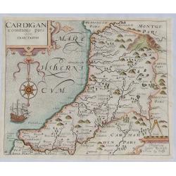
Cardigan Comitatus pars Olim Dimetarum.
A fine map of the Welsh county of Cardiganshire from William Camden's great Renaissance work 'Britannia'. Engraved by William Kip after Christopher Saxton in about 1630. ...
Place & Date: London, 1630
Selling price: $160
Sold in 2023




![[Berkshire]. Bercheriae vulgo Barkshyre qui olim sedes A:Trebatum.](/uploads/cache/1156346-250x250.jpg)
![Glocestershyre [with] Parte of Worcestershyre.](/uploads/cache/1120255-250x250.jpg)
![Somersetshere [with] Wiltshere.](/uploads/cache/1134151-250x250.jpg)
