Browse Listings in Antique Maps > Europe > Poland > provinces
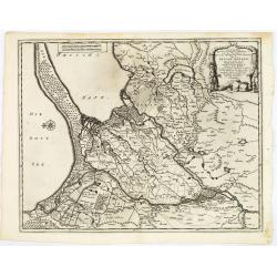
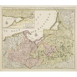
Les trois isles appellées. . . Dantzic Marienbourg et Elbing dans la Prusse Royale. . .
Fine and uncommon map including the town of Danzig and the region south of it. East to the top.From van der Aa's very rare work La galerie agréable du Monde. Very attrac...
Place & Date: Leiden, 1720
Selling price: $300
Sold in 2015
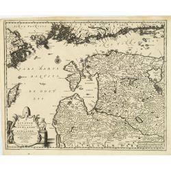
La Lavonie Avec les frontieres de Courlande et de Finlande . . .
Fine and uncommon map showing already quite accurate Livonia, Eastland and Curland. Many villages and towns are named.In the upper part the coast line of Finland.From van...
Place & Date: Leiden, 1720
Selling price: $375
Sold in 2012
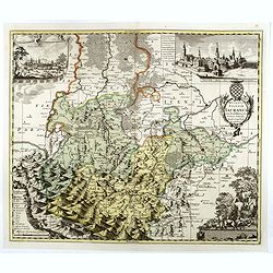
Ducatus Silesiae Iauranus. Aut : Frid : Kühnovio. . .
Rare Pieter Schenk edition of Friedrich Kubn's (Kühnovio) map of Jawor in southwest Poland based on Johann Gottfried Bartsch, map first published in Świdnica (then Schw...
Place & Date: Amsterdam, 1700-1725
Selling price: $1250
Sold in 2017
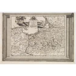
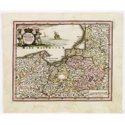
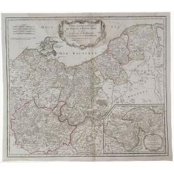
La Prusse, suivant les nouvelles observations..
Scarce edition of this map of Prussia, Poland and Northern Germany. With decorative title cartouche upper part.This example is unusual in having the additional separately...
Place & Date: Amsterdam, 1728
Selling price: $190
Sold in 2009
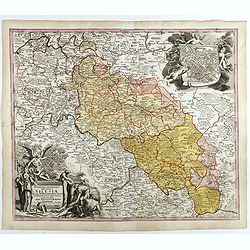
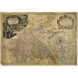
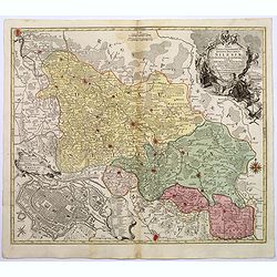
Superioris et inferioris ducatus Silesiae in suos XVII minores principatus et dominia divisi nova tabula. . .
Detailed map of the region dissected by the Oder, showing Wroclaw, Breslau, Silesia, with a large cartouche and large inset plan of Brelaw, held aloft by Cherubs. Shows c...
Place & Date: Nuremberg, ca. 1730
Selling price: $155
Sold in 2018
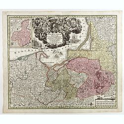
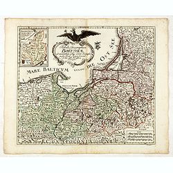
Borussiae Regnum sub fortissimo Tutamine et justissimo Regimine Friderici Wilhelmi. . .
Covers Prussia, Pomerania, Planica, Hockerlandia, Pomesania, Warmiaermelandia, Natanglensis, Galindia, Nandrovia, Sclavonia, and the Baltic Sea.In top center a large cart...
Place & Date: Augsbourg, 1730
Selling price: $165
Sold in 2017
HAUTE VOLHYNIE ou PALATINAT DE LUSUC,titre de la grande carte de l Ukraine du S.le Vasseur de Beauplan.
Fine map of Volinia, a region actually in North West Ukraine, at that time territory of Poland Federation.The map has been prepared by Robert ( de Vaugondy ) in Paris and...
Place & Date: Paris, 1730
Selling price: $1000
Sold in 2019
BASSE PODOLIE ou PALATINAT DE BRACLAW ,tiré de la Grande Ukraine de S. le Vasseur de Beauplan.
Fine map of Podolia ,a region actually in North West Ukraine ,but that time territory of Poland Confederation. This map by Robert ( de Vaugondy ) has been based in the pr...
Place & Date: Paris, 1730
Selling price: $1000
Sold in 2019
[Attractive Manuscript Plan of the Village of Prusy (Prauss), Strzelin (Strehlen) County, near Wrocław (Breslau)]
Attractive manuscript map of the village of Prusy (Prauss), Strzelin (Strehlen) County, near Wrocław (Breslau) and coat of arms of Graf Zierotin - Freiherr von L...
Place & Date: c.1740
Selling price: $4250
Sold in 2015
Regni Borussiae.. Royaume de Prusse. . .
Rare map of Prussia, with inset map of the area around Kaliningrad (Koningsberg), the capital of Kaliningrad region, and an exclave of White European Russia, on the Prego...
Place & Date: Amsterdam, 1740
Selling price: $750
Sold in 2010
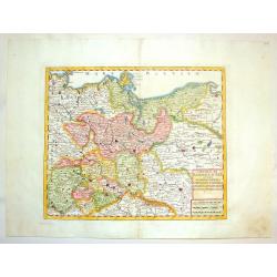
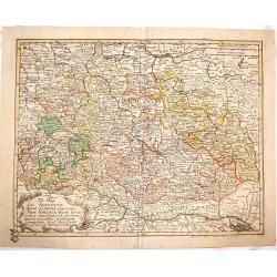
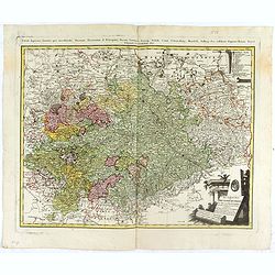
Circolo di Sassonia Superiore ovvero Sassonia, Misnia, Voigtland, Turingia, Anhalt, Lusazia, Brandenburg e Pomerania
Interesting copper engraved map featuring the Saxony region of Germany & Poland. Decorated with a block design cartouche. Isaak Tirion (1705-1765) Dutch cartographer...
Place & Date: Amsterdam, 1740
Selling price: $99
Sold in 2015
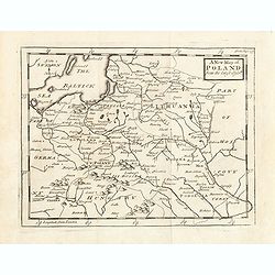
A New map of Poland from the lastest observe.
Map of Poland, Lithuania. Uncolored copper-engraved map, printed in 1749. No cartographer's name was given, possibly by Senex. Shows the Polish kingdom (including Lithuan...
Place & Date: London, 1749
Selling price: $100
Sold in 2015
Principatus silesiae Schwidnicencis. . .
Detailed map centered on Swidnica, south-west of Breslau (Wroclaw). Published in Atlas Silesiae Id Est Ducatus Silesiae Generaliter Quatuor Mappis Nec Non Specialiter XVI...
Place & Date: Nuremberg, 1750
Selling price: $260
Sold in 2011
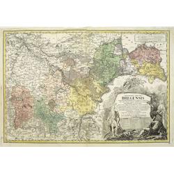
Principatus silesiae Bregensis. . .
Detailed map centered on Brzeg, south east of Breslau (Wroclaw). Published in Atlas Silesiae Id Est Ducatus Silesiae Generaliter Quatuor Mappis Nec Non Specialiter XVI Ma...
Place & Date: Nuremberg, 1750
Selling price: $250
Sold in 2011
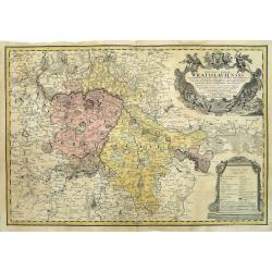
Principatus Silesiae Wratislaviensis exactissima tabula geographica. . .
Beautiful large scale map of Silesia, centered around Breslau (Wroclaw) with the River Oder. Published in Atlas Silesiae Id Est Ducatus Silesiae Generaliter Quatuor Mappi...
Place & Date: Nuremberg, 1750
Selling price: $355
Sold in 2011
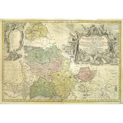
Principatus Silesiae GLOGOVIENSIS novissima Tabula Geographica sistens VI ejusdem Circulos Glogau Freystadt Guhrau Sprottau Grünberg et Schwiebus cum Districtu Polckwitz nee non Liberam Dynastiam Beuthen et Carolath. . .
Detailed map of principality of Grünberg, with an impressive oversized title cartouche depicting the principal coat of arms, gun, spear and game hinting on an area of am...
Place & Date: Nuremberg, 1750
Selling price: $400
Sold in 2011
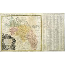
Carte du Diocese de Breslau avec fes IV Arcbidiaco- riats, subdivises en fes cercles archipresbyteriales. . .
Detailed map centered on Breslau (Wroclaw). Beautiful title cartouche in the lower left corner. With a key to the right. Number 4 in left and right lower corners.Publishe...
Place & Date: Nuremberg, 1750
Selling price: $200
Sold in 2011
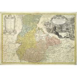
Silesiae Iavoriensis in IV Circulos, Iaver, Hirschberg, Lemberg und Buntzlau divisi ac. . .
Detailed map centered on Jelenia Góra ( Hirschberg), in southwestern Poland. The Sudeten (Sudety) mountains near the Czech border, pictorarily shown.Published in Atlas S...
Place & Date: Nuremberg, 1750
Selling price: $260
Sold in 2011
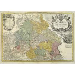
Schlesien Oppeln- 'Principatus Silesiae Oppoliensis exactissima Tabula geographica, sistens Circulos Oppoliensem, Ober-Glogau Gros Strehliz, Cosel, Tost, Rosenberg, Falckenberg & Lubleniz. . .
Detailed map of Southern Poland region of Oppeln. Published in Atlas Silesiae Id Est Ducatus Silesiae Generaliter Quatuor Mappis Nec Non Specialiter XVI Mappis Tot Princi...
Place & Date: Nuremberg 1736 / 1750
Selling price: $300
Sold
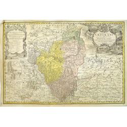
Principatus Silesiae Grotkani exactissima tabula geographica exhibens terram Nissensem simul. . .
Detailed map centered on the region Neisse (Nysa), Grottkau, Ottmachau and Ziegenhals in Poland. Published in Atlas Silesiae Id Est Ducatus Silesiae Generaliter Quatuor M...
Place & Date: Nuremberg, 1736 / 1750
Selling price: $240
Sold
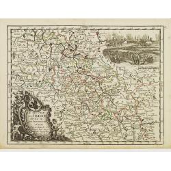
Carte Generale Inserviente al Teatro della Guerra [...]a Lusazia, la Silesia divisa. . .
A very rare map of the area around Wroclaw and Glatz, extending until Prague, Dresden, and Olomouc. With a title cartouche showing a small view. Further two putti holding...
Place & Date: Venice, ca 1750
Selling price: $110
Sold in 2020
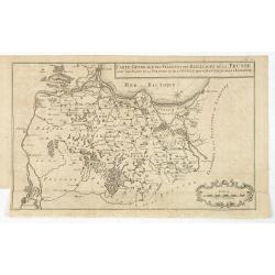
Carte generale des Villes et des Bailliages de la Prusse avec une partie de la Pologne et de la Vistule depuis Fantzig jusque à Warsovie.
Scarce map of northern part of Poland, including Gdansk and Warschaw. Engraved by Jacobus van der Schley (1715 - 1779).From "Memoires Pour Servir A L'Histoire De La ...
Place & Date: The Hague, Berlin, Jean Neaulme, 1751
Selling price: $150
Sold in 2013
Tab. Geogr. Circ. Franconiae dimid Saxoniae Superioris.
Fine map featuring part of Poland, Germany and the Czech Republic. From the atlas "Atlas Geographicus Omnes Orbis Terrarum Regiones in XLI Tabulis".CARTOGRAPHER...
Place & Date: Berlin, 1753
Selling price: $199
Sold in 2015
Tabula Geographica Borussiae ad emendatiora adhuc edita exempla iussu Acad. Regiae Scient. et eleg. Litt. Borussicae descripta.
Interesting map of Poland with a decorative title cartouche, and a Prussian duty stamp in the higher cartouche as usually for the Euler maps.Engraved by Nikolaus Friedric...
Place & Date: Berlin, Michaelis, 1753
Selling price: $525
Sold in 2015
Le Duché de Silesie..
Fine map of Silesia. With title cartouche and decorative cartouche on upper right corner. George Louis Le Rouge was active from 1740- till 1780 as a publisher, and was ap...
Place & Date: Paris 1756
Selling price: $35
Sold
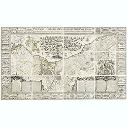
Nova illustrissimi principatus Pomeraniae descrptio.. .
"Only a small number of copies were printed and so this edition is a very rare object today" (Scharfe). THE MOST IMPORTANT EARLY MAP OF POMERANIA, the region on...
Place & Date: Amsterdam, 1618-1757
Selling price: $25000
Sold in 2015
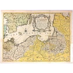
A New and Accurate Map of the Kingdom of Prussia,...
A pleasing and a detailed map of the Kingdom of Prussia
Place & Date: London, 1757
Selling price: $425
Sold in 2016
[detail from] Nova illustrissimi principatus Pomeraniae descrptio.. .
One sheet from THE MOST IMPORTANT EARLY MAP OF POMERANIA, the region on the south coast of the Baltic shared between Germany and Poland, from the Recknitz River near Stra...
Place & Date: Amsterdam, 1618-1757
Selling price: $300
Sold in 2019
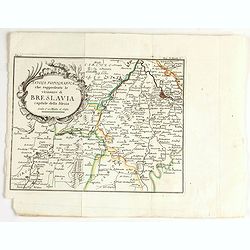
Tavola topografica che rappresenta le vicinanze di breslavia.
Detailed map showing the area west of Wroclaw, large title cartouche in upper left corner.
Place & Date: Italy, ca. 1757
Selling price: $60
Sold in 2020
Nova Mappa Geographica Totius Ducatus Silesiae. . .
A striking map of Silesia by Lotter, published in the mid eighteenth century.The map covers central Europe in general, and parts of Poland in particular. Most of Silesia ...
Place & Date: Augsberg, 1758
Selling price: $180
Sold in 2017
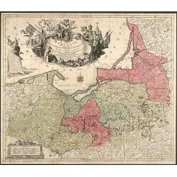
Borussiae Regnum complectens Circulos Sambiensem, Natangiensem et Hockerlandiae nec non Borussia Polonica Exhibens Palatinatus Culmiensem, Marienburgensem, Pomerelliae et Varmiae
Decorative copper engraved map of Poland by T. C. Lotter. Covering the area around Dantzig (Gdansk), Elbing (Elblag) and Königsberg (Krolewiec). The map has a highly dec...
Place & Date: Augsburg, 1759
Selling price: $300
Sold in 2008
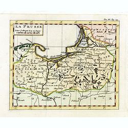
La Prusse.
Fine miniature map of Prussia, likely published by Claude Buffier. In upper right corner "Tom.III. Pag. 233.
Place & Date: Paris, ca. 1759
Selling price: $100
Sold in 2015
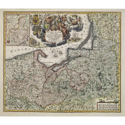
Borussiae Regnum..
With decorative title cartouche in upper part and an inset (155x115mm.) of Neufchatel.Expertly repaired map, with great presentation value.
Place & Date: Augsburg, 1760
Selling price: $275
Sold in 2011
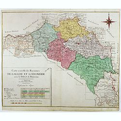
Carte nouvelle des Royaumes de Galizie et Lodomerie avec le district de Bukowine.
Uncommon map showing parts of present-day Poland and Ukraine. Including the Kingdom of Galicia and Lodomeria, which was a crown land of the Habsburg Monarchy that was acq...
Place & Date: Augsburg, ca. 1760
Selling price: $550
Sold in 2016
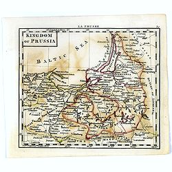
Kingdom of Prussia.
Uncommon miniature map of Prussia in Northern part of present-day Poland, engraved by Thomas Kitching for "A New General and Universal Atlas Containing Forty five Ma...
Place & Date: London, 1761-1763
Selling price: $50
Sold in 2020
Regni Borussiae Episcopatus Warmiensis Palatinatus Mariaeburgensis et Culmensis cum Territorio Dantiscano et Ichnographia Urbis Regiomontis.
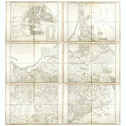
Very rare and important wall map in 6 sheets of Prussia, dissected and mounted on canvas, each map with printed label of the Paris map seller Charles Piquet. Each label w...
Place & Date: Berlin, Preussische Akademie der Wissenschaften, 1763-1766
Selling price: $4100
Sold in 2017
Regni Prussiae accurata delineatio.
Uncommon map of Prussia. The originally colored title cartouche is surrounded by mythological figures. From Atlas Portatif.
Place & Date: Nuremberg, ca. 1770
Selling price: $140
Sold in 2012
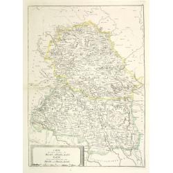
Special Carte von dem Netz und Warthe Bruche nebst daran gränzenden Landsbergschen gantzen, wie auch einem theile des Friedeberg und Königsbergschen Creises.
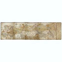
A MORE THAN 2 METERS MANUSCRIPT MAP OF WEST-CENTRAL POLANDIn top a large compass rose and south is interestingly oriented to the top. The river Oder is to the utmost righ...
Place & Date: Poland, 1774
Selling price: $3750
Sold
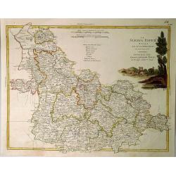
Der südliche Theil Ober-Saechsischen . . .
Kingdom of Prussia, today part of the Polish, Lithuanian and Russian territories.
Place & Date: Augsburg, 1775
Selling price: $625
Sold in 2016
Borussiae Occidentalis tabula.
Map covering the region along the Baltic Sea from Prussia to northern Poland after F.L. Güssefeld. Beautiful ornamental title cartouche in upper right.
Place & Date: Nuremberg, ca.1775
Selling price: $400
Sold in 2016
Lubomeriae Et Galliciae Regni Tabula Geographica: Cum Priv. Sac. Caes. Maiestatis Impensis Homannianorum Haeredum . . .
A rare map of the Kingdom of Galicia and Lodomeria prepared by F.L. Güssefeld, (1744-1808), who was a cartographer from Osterburg, studied at Brandenburg, worked in Weim...
Place & Date: Nuremberg, 1775
Selling price: $480
Sold in 2017
Carte de la Pologne Autrichienne contenant La Russie Rouge et la partie méridionale du Palatinat de Cracovie ..
Detailed map with Krakow, including the areas of Malopolskie and Podkarpackie and including present-day Ukraine.Santini gives credit to Homann Heirs in the cartouche. Mal...
Place & Date: Venise, 1776
Selling price: $200
Sold in 2008
Polonia regnum ut et magni Ducat Lithuania. . .
Miniature map of Poland, a reduction of the appropriate part of Seutter's folio map. Engraved by Tobias Conrad Lotter.From Atlas Minor, here published by Johann Martin Wi...
Place & Date: Augsburg, J.M.Will, 1778
Selling price: $210
Sold in 2009
La Slesia InferE Divisa ne Principati di Nuova Projezione.
A handsome map of South Western Poland divided into its provinces. Filled with details of roads, towns and pictorial topography, and features a lovely pastoral title cart...
Place & Date: Venice, 1779
Selling price: $230
Sold in 2020
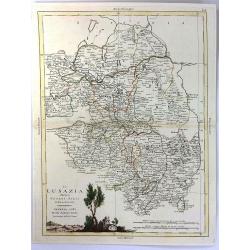
La Lusazia Divisa Nesuoi stati de Nuova Projezione
Lusatia is a historical region between the rivers Bóbr (a tributary of the Oder ) and Kwisa, and the River Elbein Saxony, in Germany, the Eastern Atlantic and Brandenbur...
Place & Date: Venice, 1780
Selling price: $20
Sold in 2016
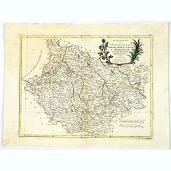
Li Palatinati di Posnania Gniesno, Brzesc, Kalisz e Inowroclaw. . .
An attractive and detailed map of part of Western part of Poland centered on Poznan. The decorative and large pictorial title cartouche is fully colored. Published in Zat...
Place & Date: Venice, 1781
Selling price: $65
Sold in 2019
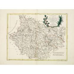
Li Palatinati di Posnania, Gniesno, Brzesc, Kalisz, e Inowroclaw. . .
A attractive and detailed map of part of Western part of Poland centered on Poznan. The decorative and large pictorial title cartouche is fully colored.Published in Zatta...
Place & Date: Venice, 1782
Selling price: $290
Sold in 2012
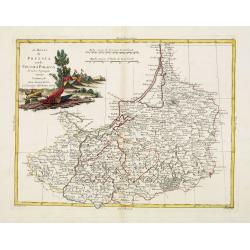
Il Regno di Prussia co la Prussia Polacca. . .
A attractive and detailed map of northern region of Poland including the city of Gdansk on the Baltic coast. The decorative and large pictorial title cartouche is fully c...
Place & Date: Venice, 1782
Selling price: $315
Sold in 2012
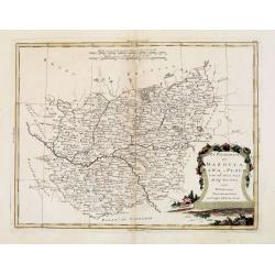
Li Palatinati di Mazovia, Rawa, e Plock, Tratta dall' Atlante Polaco del Sig. . .
A attractive and detailed map of cental Poland including the city of Warsaw. The decorative and large pictorial title cartouche is fully colored.Published in Zatta's' Atl...
Place & Date: Venice, 1782
Selling price: $290
Sold in 2012
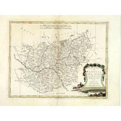
Li Palatinati di Mazovia, Rawa, e Plock, Tratta dall' Atlante Polaco del Sig. . .
A attractive and detailed map of central Poland including the city of Warsaw. The decorative and large pictorial title cartouche is fully colored.Published in Zatta's' At...
Place & Date: Venice, 1782
Selling price: $300
Sold in 2016
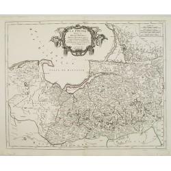
La Prusse divisée en Prusse Royale et Prusse Ducale.
The map extends from Memem, Dantzig and Rosienne in the North to Novigrod in the southeast and Thorn on the Wessel in the southwest. Shows the Gulf of Dantzig and part of...
Place & Date: Venice, 1776 - 1784
Selling price: $75
Sold in 2024
Carte de la Pologne Autrichienne contenant La Russie Rouge et la partie méridionale du Palatinat de Cracovie . . .
Detailed map with Krakow, including the areas of Malopolskie and Podkarpackie and including present-day Ukraine.Santini gives credit to Homann Heirs in the cartouche. Mal...
Place & Date: Venice, 1776 - 1784
Selling price: $400
Sold in 2015
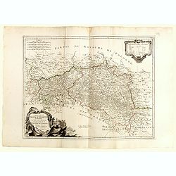
[Segment from] Neue und vollftaendige Postkarte durch ganz Deutschland. . . Carte des postes d'Allemagne partie du nord est.
Upper right part of a post-map of Germany and Poland. This part largely covering part of Poland with Frankfurt, Danzig, Stettin, Cracow, Prague, Berlin, etc.More about po...
Place & Date: Nuremberg, 1786
Selling price: $25
Sold in 2017
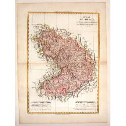
Duche de Silesie et Marquisat de Moravie.
A striking map of the duchy of Silesia and Moravia (currently part of Poland) from the "Atlas Moderne". Engraved by Gaspar Andre.Rigobert Bonne (1729-1795) was ...
Place & Date: Paris, 1787
Selling price: $21
Sold in 2015
Partie Septentrionale de Cercle de la Haute Saxe.
A detailed map of northern Upper Saxony, in what is now Northeast Germany and Northwest Poland, by de Vaugondy. It includes the Duchy of Pomerania and Brandenburg, and ex...
Place & Date: Paris, 1787
Selling price: $40
Sold in 2019
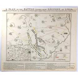
A PLAN OF THE BATTLE NEAR Fought Leuthen OR LISSA, / in SILESIA; the 5th. of December 1757. in Which his PRUSSIAN MAJESTY gained a compleat Victory over the AUSTRIAN Army Commanded by Prince Charles of Lorrain.
A plan the battle of Leuthen, between the Prussian troops, under the command of Friedrich II, and the Austrian troops under the command of Charles of Lorraine on December...
Place & Date: The Hague, 1789
Selling price: $27
Sold in 2016
Spezial Karte von des Koenigreichs Galizien und Lodomerien Westlichen Kreisen.
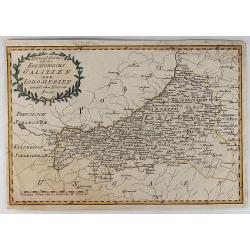
Special Map of the Kingdoms of Galicia and Lodinerien on the border between Poland and Hungary. By Franz von Reilly in 1791. It features a decorative laurel title carto...
Place & Date: Vienna, 1789
Selling price: $25
Sold in 2018
[Map including Wroclaw and region].
A very detailed of region of Wroclaw (Breslau) from Roch Joseph Julien's "NOUVEAU THEATRE DE LA GUERRE OU ATLAS TOPOGRAPHIQUE ET MILITAIRE" published in 1758 in...
Place & Date: 1790
Selling price: $500
Sold in 2016
Poland, Lithuania and Prussia from the latest Authorities.
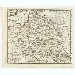
A map of part of Eastern Europe by William Guthrie, published in London in the late eighteenth century. Map shows major towns and cities, rivers, forests, mountains and n...
Place & Date: London, 1790
Selling price: $60
Sold in 2020
Karte von Danzig, Elbing und Marienburg odert..
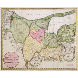
Uncommon map centered on Danzig and Elbing. Very detailed, prepared by Johann Fridrich Endersch (1705-1769). Engraved by A.Amon.
Place & Date: Vienna, 1799
Selling price: $600
Sold in 2009
Ost Galizien, IVtes Blatt, enthaltend den Stanislowower Zaleszyker und Tschernowitzer Kreis. . . / IVeme Partie de la Galicie Orientale contenant les Cercles de Stanislawow, de Zaleszyk et de Tschernowitz. . .
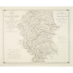
Very detailed map of Galicia, Poland after the cartographic sources by Metzburg, Rizzi Zannoni and the Jesuit astronomer Joseph Liesganig. French Titles on the upper righ...
Place & Date: Vienna, Verlag des Kunst und industrie Comptoirs, 1803
Selling price: $400
Sold in 2010
Carte des deux Cercles de Brody et Brzeczany. Karte deren zween Kreisen von Brody und Brzeczany.
Detailed map of part of Poland from the rare atlas Atlas des Roiaumes de Galicie et de Lodomerie consistant en une Carte générale de ces deux Roiaumes et 10 Cartes. . ....
Place & Date: Vienna, 1798-1804
Selling price: $310
Sold in 2011
(Single sheet Sect. VIII with inset of Danzig from) Karte von Alt-Preussen enthaltend Ost=Preusen nebst Preussisch Lithauen. . .
Section VIII of the rare first edition of this important 25-sheet map prepared by Friedrich Leopold von Schrötter. This map sheet was engraved by Paulus Schmidt.In the u...
Place & Date: Berlin, ca.1803-1810
Selling price: $250
Sold in 2016
(Sheet IV with Puk Bay from) General Tableau zur Karte von Alt Ost und West Preussen nebst dem aufgenommenen Trigonometrischen Netz. . .
Sheet IV with Puk Bay and part of Gdansk Bay of this important multi sheet map of Prussia, Lithuania and Poland.The rare first edition of this important 25-sheet map prep...
Place & Date: Berlin, 1802-1810
Selling price: $300
Sold in 2016
(Single sheet Sect. VIII with inset of Danzig from) Karte von Alt-Preussen enthaltend Ost=Preusen nebst Preussisch Lithauen. . .
Section VIII of the rare first edition of this important 25-sheet map prepared by Friedrich Leopold von Schrötter. This map sheet was engraved by Paulus Schmidt.In the u...
Place & Date: Berlin, ca.1803-1810
Selling price: $300
Sold in 2015
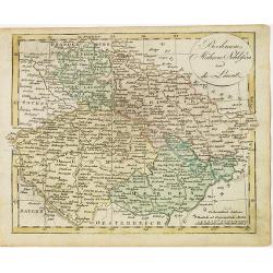
Boehmen, Mähren, Schliesien und die Lausitz.
Nice small map of Czechoslovakia and Silesia (Poland) by Johannes Walch in his rare Allgemeiner Atlas Nach den bewährsten Hülfsmitteln und astronomischen Ortsbestimunge...
Place & Date: Augsburg, 1812
Selling price: $25
Sold in 2024
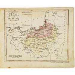
Preussen und Warschau.
Nice small map of Prussia by Johannes Walch in his rare Allgemeiner Atlas Nach den bewährsten Hülfsmitteln und astronomischen Ortsbestimungen…, edition of 1812.Johann...
Place & Date: Augsburg, 1812
Selling price: $150
Sold in 2012
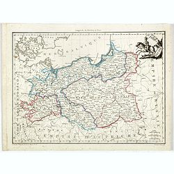
Grand Duche de Varsovie. Prusse.
Steel engraved map of Poland Warsaw Duchy. From the "Atlas Complet du precis de la Geographie Universelle…". Maps from this atlas were accurate, and reflected...
Place & Date: Paris, 1812
Selling price: $200
Sold in 2023
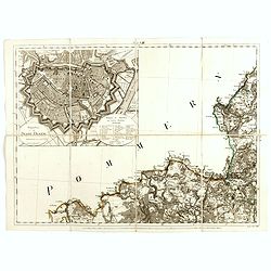
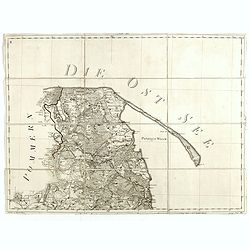
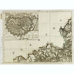
[Untitled map of a part of Poland and Prussia].
Large folding map, being upper right part of a multi-sheet map, showing the northern part of Poland with good detail around Gdansk. Published by Jean Claude Dezauche (17...
Place & Date: Paris, ca. 1816-1824
Selling price: $200
Sold in 2015
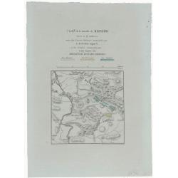
Plan de la Bataille de Kliszow.
A lithographed plan of the Battle of Kliszów, which took place on July 19, 1702 in Ma Opolska during Great Northern War. The Swedish army, under command of Charles XII,...
Place & Date: Paris, ca 1830
Selling price: $16
Sold in 2021
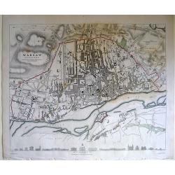
Warsaw (Warszawa) Published under the Superintendence of the society for the diffusion of useful knowledge.
Map of Warsaw region.
Place & Date: London, 1831
Selling price: $16
Sold in 2010
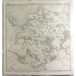
Carte du Pays Compris Entre la Vistule et la Pregel.
A map of Polish regions, including Warsaw, part of Russia and Danzig Bay, prepared by Dufour, and engraved by Ch. Dyonnet. It features the prominent cities of Gdansk (wri...
Place & Date: Paris, 1845
Selling price: $16
Sold in 2019
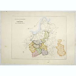
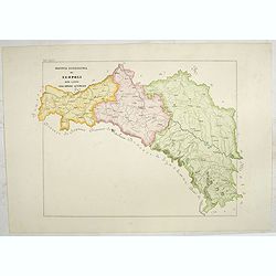
Provincia ecclesiastica di Varsavia nella Polonia Russa (Tav XCI)
A large-format map of Poland / Warsaw with its different dioceses. The map is finely engraved and beautifully colored and was prepared by Girolamo Petri, a lawyer who ser...
Place & Date: Rome, 1858
Selling price: $400
Sold in 2023
Provincia ecclesiastica di Leopoli rito latino nell' Impero Austriaco (Tav LXXIV)
This large-format south Poland map is finely engraved and beautifully colored and was prepared by Girolamo Petri, a lawyer who served as a senior official within the Vati...
Place & Date: Rome, 1858
Selling price: $500
Sold in 2021
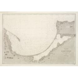
Mer Baltique - Côte de Prusse - De Rixhöft A Brüsterort. . .
A well engraved and highly detailed chart focused on the Gulf of Danzig and encompassing the area between Cape Rozewie and Samland.A few places highlighted in red and yel...
Place & Date: Paris, 1883
Selling price: $750
Sold in 2020
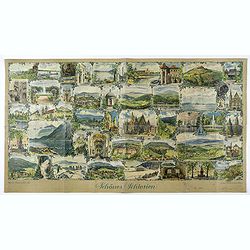
Schönes Schlesien. / Das malerische Breslau.
Publicity leaflet for Breslau which was the capital of what was until 1945 the Prussian province of Silesia. Design by Franz Huth. On verso other touristic places to go t...
Place & Date: Breslaw, ca. 1930
Selling price: $100
Sold in 2020
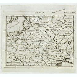
Pologne.
Scarce small map of Poland based on cartography of Guillaume Delisle. Published in "Nouveau traité de geographie par M**** ", published by La veuve Lottin &...
Place & Date: Paris, La veuve Lottin & Butard, P.G. Le Mercier, Rollin, David, Delag
Selling price: $100
Sold in 2015
![[Attractive Manuscript Plan of the Village of Prusy (Prauss), Strzelin (Strehlen) County, near Wrocław (Breslau)]](/uploads/cache/35784-250x250.jpg)
![Carte Generale Inserviente al Teatro della Guerra [...]a Lusazia, la Silesia divisa. . .](/uploads/cache/84695-250x250.jpg)
![[detail from] Nova illustrissimi principatus Pomeraniae descrptio.. .](/uploads/cache/43600-250x250.jpg)
![[Segment from] Neue und vollftaendige Postkarte durch ganz Deutschland. . . Carte des postes d'Allemagne partie du nord est.](/uploads/cache/30614-250x250.jpg)
![[Map including Wroclaw and region].](/uploads/cache/38706-250x250.jpg)
![[Untitled map of a part of Poland and Prussia].](/uploads/cache/35692-250x250.jpg)
