Browse Listings in Antique Maps > Africa
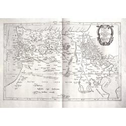
Tab. IV. Africae in qua Libya Interior et Exterior. Aethiopia sub Aegypto et Interior. . .
This finely engraved Ptolemaic map of Northern Africa shows the twin lake sources of the Nile located near the Lune Montes. The Niger River is prominently featured in Lib...
Place & Date: Utrecht, 1695?
Selling price: $130
Sold in 2018
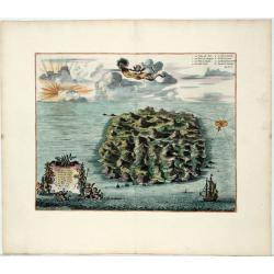
Saint Helena.
This fine hand colored original copper-plate engraved antique map of the Island of St Helena in the southern Atlantic that was published by Pieter Van der Aa. With cherub...
Place & Date: Leiden, ca 1710
Selling price: $130
Sold in 2020
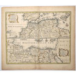
A New & Accurate Map of the Western parts of BARBARY, containing FEZ, MOROCCO, ALGIERS, TUNIS & BILEDULGERID.
An attractive and detailed map of North Africa by Emanuel Bowen (ca.1693-1767) an English engraver, publisher and map seller, active in London from about 1720. Map is enh...
Place & Date: London, ca 1750
Selling price: $31
Sold in 2019
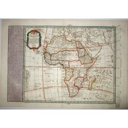
CARTE NOUVELLE D'AFRIQUE.
An original rare copper engraved map of 'modern' Africa by Moithey, published by Etienne André Philippe de Pretot, Paris, from the atlas 'Cosmographie Universelle' - ca ...
Place & Date: Paris ca 1765
Selling price: $180
Sold in 2021
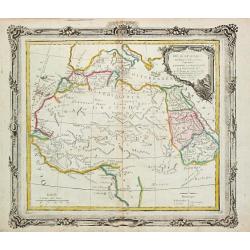
Partie de L' Afrique en deca de l' Equateur.
Louis Brion de la Tour (1756-1823), ' Atlas Géneral, Civil et Ecclésiastique', 1766, ' Atlas Général', 1790-98. Louis Charles Desnos (fl.1750-70), Le Rouge's 'Atlas N...
Place & Date: Paris, 1766.
Selling price: $150
Sold
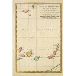
Carte des Isles Canaries, avec l'Isle de Madere et celle de Porto Santo
Rigobert Bonne (1727-1795), French cartographer. His maps are found in a.o. Atlas Moderne (1762), Raynal's Histoire Philos. du Commerce des Indes (1774) and Atlas Encyclo...
Place & Date: Paris, 1784.
Selling price: $100
Sold
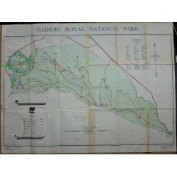
Nairobi Royal National Park.
A large plan of Nairobi National Park, first edition September 1956. A key shows the physical make up of the park plus a list of Mammals and Reptiles found in the park.
Place & Date: Nairobi, 1956
Selling price: $60
Sold in 2019
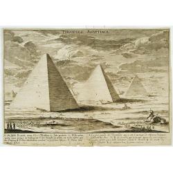
Pyramides Aegyptiacae.
An imaginary view.
Place & Date: (19th)
Selling price: $40
Sold
[Africa - General continental map with Ottoman script]
Post card size map in Ottoman script showing the continent of Africa from Mehmet Eşref’s ‘Küçük Atlas’, a rare portfolio of loose-leaf maps wit...
Place & Date: Istanbul, Şirket-i Mürettibiye ve Karacoğlu Matbaas&#
Selling price: $150
Sold
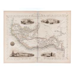
Western Africa.
Double page steel engraved map. Map accompanied by vignette scenes of Christiansborg, Cape Coast Castle, Sierra Leone and Bakel. Decorative scrolling and title cartouche ...
Place & Date: London & New York: The London Printing and Publish
Selling price: $61
Sold in 2020
![[Africa - General continental map with Ottoman script]](/uploads/cache/44735-250x250.jpg)
