Browse Listings in Antique Maps > America > Canada > Cities in Canada
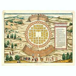
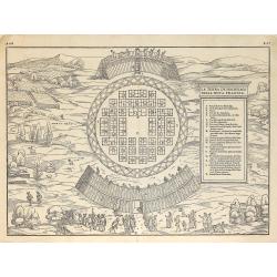
(MONTREAL). La Terra de Hochelaga nella Nova Francia.
The first printed plan of Montreal, from Delle navigationi et viaggi, and prepared Jacques Cartier, the great French explorer. visited the village of Hochelaga on the isl...
Place & Date: Venice, 1556
Selling price: $2250
Sold in 2014
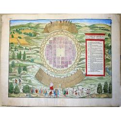
La Terra de Hochelaga nella Nova Francia... (MONTREAL).
Large, very rare woodcut depicting the first printed plan of Montreal, from the famous book "Delle navigationi et viaggi", prepared Jacques Cartier, the great F...
Place & Date: Venice, ca 1565
Selling price: $1490
Sold in 2019
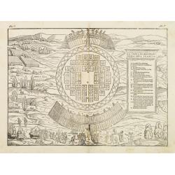
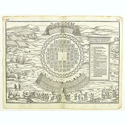
La terra de Hochelaganella Nova Francia.
The first printed plan of Montreal, from Delle navigationi et viaggi. and prepared Jacques Cartier, the great French explorer. visited the village of Hochelaga on the isl...
Place & Date: Venice 1556-1606
Selling price: $600
Sold
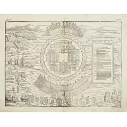
La terra de Hochelaganella Nova Francia.
The first printed plan of Montreal, from Delle navigationi et viaggi. and prepared Jacques Cartier, the great French explorer. visited the village of Hochelaga on the isl...
Place & Date: Venice, 1556-1606
Selling price: $650
Sold
(MONTREAL). La Terra de Hochelaga nella Nova Francia.
The first printed plan of Montreal, from Delle navigationi et viaggi, and prepared Jacques Cartier, the great French explorer. visited the village of Hochelaga on the isl...
Place & Date: Venice, 1556-1606
Selling price: $1500
Sold in 2012
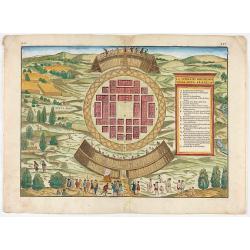
(MONTREAL). La Terra de Hochelaga nella Nova Francia.
The first printed plan of Montreal, and of any American town from Delle navigationi et viaggi, and prepared Jacques Cartier, the great French explorer. visited the villag...
Place & Date: Venice, 1556-1606
Selling price: $2500
Sold in 2018
(MONTREAL). La Terra de Hochelaga nella Nova Francia.
The first printed plan of Montreal, from Delle navigationi et viaggi, and prepared Jacques Cartier, the great French explorer. visited the village of Hochelaga on the isl...
Place & Date: Venice, 1556-1606
Selling price: $2200
Sold in 2020
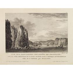
Vue Des Montagnes Escarpées De Fraisler, Sur La Côte Orientale De La Baye George Dans L'Amérique Septentrionale. Atlas de ce Continent, par Desbares.
Fine view of St. Georges Bay, Nova Scotia, east coast of Canada. '12.' inscribed upper right. Engraved by Pillement. "A Paris, chez Noel, Md. D'Estampes, Rue St. Jac...
Place & Date: Paris, ca. 1790
Selling price: $60
Sold in 2021
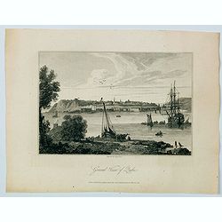
General View of Quebec.
A delightful early 19th century view of Quebec City in Canada, engravrd by George Cooke and published in London. Quebec City's strategic location on the St. Lawrence Rive...
Place & Date: London, 1812
Selling price: $55
Sold in 2021
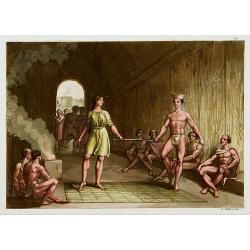
Le mariage des canadiens.
Representing a traditional wedding. The couple is standing on a plait, each holding the end of a rod. The two are hearing an speech held by the head of the village.From G...
Place & Date: Milan 1827
Selling price: $15
Sold in 2024
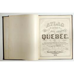
Atlas of the city and county of Quebec from actual surveys, based upon the cadastral plans deposited in the office of the Department of Crown Lands.
This scarce city atlas of Quebec is illustrated with 18 hand-colored maps made by Henry Whitmer, 1838-1920. The atlas contains 12 maps of Parishes, 5 maps of Quebec by ...
Place & Date: Provincial Surveying and Pub. Co., Walter, S, MacCormac, manager,1879
Selling price: $850
Sold in 2023
