Browse Listings in Antique Maps > Europe > Belgium
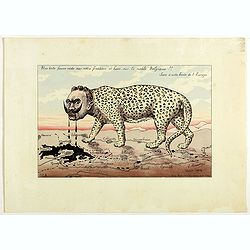
Une bête fauve rôde sur notre frontière et bave sur la noble Belgique!! Sus à cette honte de l'Europe. N°2.
Scarce plate in original hand colors figuring Wilhelm II as a wild beast walking along the French border and drooling on Belgium. Signed and dated in the plate "G. B...
Place & Date: Paris, 1914
Selling price: $500
Sold in 2018
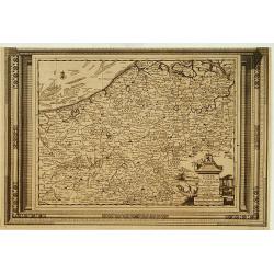
Carte du Comté de Flandre, suivant les nouvelles observations..
Including Belgium and Brabant. With decorative title cartouche lower right corner.This example is unusual in having the additional separately engraved decorative framewor...
Place & Date: Amsterdam 1728.
Selling price: $120
Sold
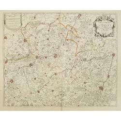
Les Comtez de Hainaut, de Cambresis, et Partie du Comté de Namur..
Uncommon map showing southern Belgium provinces south of Brussels and published by Crepy.Including the towns of Lille, Brussels, Namen, Dinant, Cambray, Mons, etc.
Place & Date: Paris, 1735.
Selling price: $300
Sold in 2015
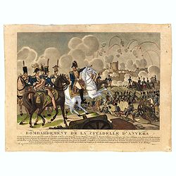
Bombardement de la Citadelle d'Anvers.
Engraving showing the attack of the citadel of Antwerp in November 1832.
Place & Date: Paris
Selling price: $20
Sold in 2016
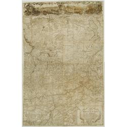
[Bottom of Very Large Map] The Duchy of Brabant.
This the bottom of a very large English map showing the following regions: Duchy of Brabant, Luxemburg, Duchy of Limburg, Bishoprick, French Flanders, County of Artois, C...
Place & Date: Unknown
Selling price: $32
Sold in 2017
Carte de la principauté de Liege et de ses environs..
Map of present-day Dutch and Belgium Brabant and Liege, with an imposing title cartouche Carte de la pricipauté de Liége et de ses environs tirée des observations fait...
Place & Date: Liege 1748 or later.
Selling price: $450
Sold
![[Bottom of Very Large Map] The Duchy of Brabant.](/uploads/cache/98717-250x250.jpg)
