Browse Listings in Antique Maps > Europe > Italy
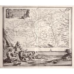
REGION IS INTER TIBUR, CARSEOLOS. ET. SUBLACUM DESCRIPTIO DISSERTATIONI. DE AQUIS ET. AQUAAEDUCTIBUS VETERIS ROMAE PRAEMISSA authore Raph Fabretto Gasp f, Urbinate\'.by Jan van Vianen
Rare copper engraving from Tibur (Tivoli) and the water supply for Rome with two beautifully ornate cartouche.Engraved by Jan van Vianen after Jan Goeree published by Fra...
Place & Date: Amsterdam, 1704
Selling price: $180
Sold in 2013
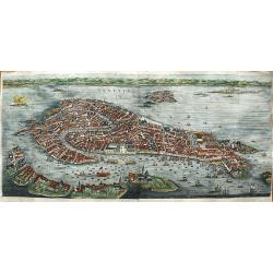
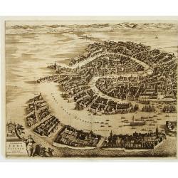
Venetia.
First state of this very large bird's-eye town view of Venice which can be considered the most beautiful and accurate of the XVII century.Engraved in 1670 by Julius Milhe...
Place & Date: Amsterdam, 1704
Selling price: $2290
Sold in 2020
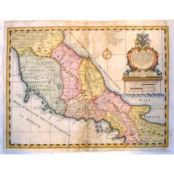
A New Map of Latium, Etruria and as Much of Ancient Italy as Lay Between Gallia Cis-Alpina and Graecia Magna.
A fine copper engraved map of ancient Italy. Lovely, large title cartouche with the coat of arms of William, Duke of Gloucester, son of Queen Anne, to whom the map was de...
Place & Date: London, 1704
Selling price: $50
Sold in 2015
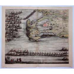
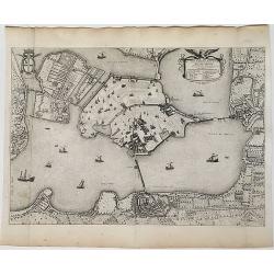
Orbetelli, Ville du Sienois en Toscane Assiegee par les Francois en 1646. Ils Furent Contraints de Lever le Siege.
A view of Orbetello, under siege by the French by Pierre Mortier. Orbetello is a town and commune in the province of Grosseto (Tuscany), Italy. A stunning birds-eye persp...
Place & Date: Amsterdam, 1704
Selling price: $689
Sold in 2021
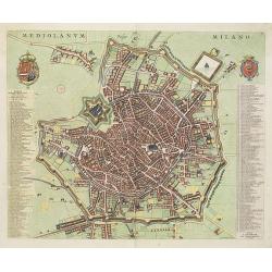
Mediolanum. Milano.
A beautifully engraved and richly decorated plan of Milan. With a key (1-256) in left and right referring to the principal places of interest in the town.Joan Blaeu publi...
Place & Date: Amsterdam, 1704 / 1705
Selling price: $1600
Sold in 2022
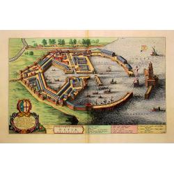
Utriusque Portus Ostiae Delineatio.
A most attractive and fascinating bird's eye plan of this small port near the mouth of the Tiber. Dedicated to Cornelis Witsen, senator of Amsterdam and traveller. Joan B...
Place & Date: Amsterdam, 1705
Selling price: $1300
Sold in 2013
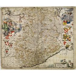
Pedemontium et reliquae ditiones Italiae regiae celsitudini Sabaudicae ..
Map of Piemonte in northern Italy with Turin in the centre. Heraldic title cartouche, numerous coats of arms with cherubs down both sides and figurative scale of miles. T...
Place & Date: Amsterdam 1705
Selling price: $280
Sold
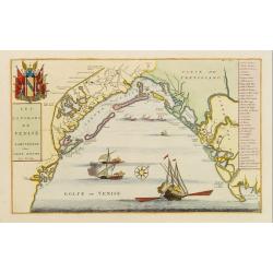
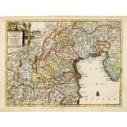
Les Environs de Venise.
Showing in great detail the port of Venice. Includes also a numbered key legend on the right side.Joan Blaeu published during his life three town-books of Italy: Citta de...
Place & Date: Amsterdam, 1705
Selling price: $700
Sold in 2009
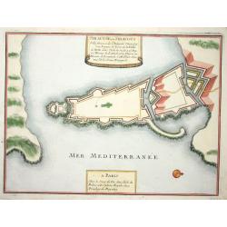
Siracuse
Nice city plan of Siracuse with the fortification walls.
Place & Date: Paris 1705
Selling price: $120
Sold
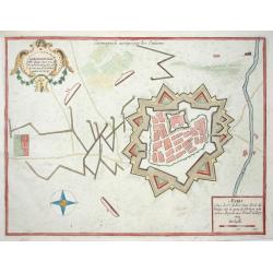
Carmagnole
Nice city plan of Carmagnole with the fortification walls.
Place & Date: Paris 1705
Selling price: $70
Sold
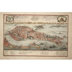
Venise
Attractive bird's-eye plan of Venice clearly depicting the city's landmarks and extending to the outlying islands including Murano. The surrounding lagoon is filled with ...
Place & Date: Paris, 1705
Selling price: $250
Sold in 2008
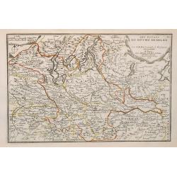
Les estats du duché de Milan.
Map of the states of the Duchy of Milan, taken from "Atlas Curieux", printed in Paris.
Place & Date: Paris, 1705
Selling price: $130
Sold in 2009
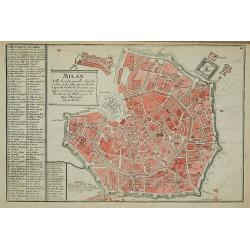
Milan
Map of Milan, taken from "Atlas Curieux", printed in Paris.
Place & Date: Paris, 1705
Selling price: $190
Sold in 2012
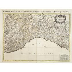
Partie du Duché de Milan la principauté de Piémont le Montferrat et la republique de Genes. . .
Very large map of the Duchy of Milan, including towns of Nice, Monaco, Turin, Milan, Genoa, Massa. With a sub title along upper margin. A first state, without with lines ...
Place & Date: Amsterdam, c.1705
Selling price: $750
Sold in 2012
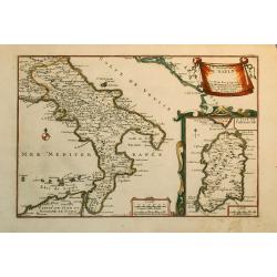
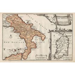
Le Royaume de Naples.
Nice map of the Southern part of Italy with also a part of Sicily and an inset of Sardinia.
Place & Date: Paris, 1705
Selling price: $160
Sold in 2010
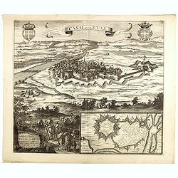
Casal dit de St. Vas. (Casale Monferrato)
A beautifully engraved and richly decorated bird's-eye view of Casale Monferrato in the Piedmont region.Joan Blaeu published during his life three town-books of Italy: Ci...
Place & Date: Amsterdam, 1704/1705
Selling price: $300
Sold in 2014
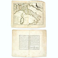
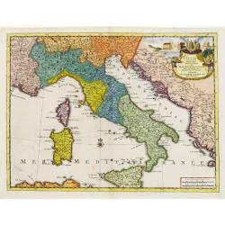
L'Italie divisée en ses principaux estats.
An interesting small map of Italy by Nicolas de Fer. From his rare "Petit et Nouveau Atlas". The first edition was published in 1697 and was republished in 1705...
Place & Date: Paris, 1705
Selling price: $50
Sold in 2018
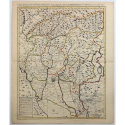
Carte Nouvelle du Bergamasco Faisant Partie des Etats de la Venise.
This fine map is centered on Bergamo in the Lombardy region of northern Italy. Excellent detail of towns, roads, forts, and more. The map was created to depict the encamp...
Place & Date: Amsterdam, 1705
Selling price: $251
Sold in 2017
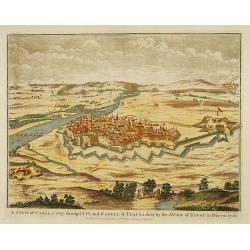
A view of Casal...
Decorative view of the italian city of Casal. engraved by J. Basire.
Place & Date: London, 1706
Selling price: $120
Sold
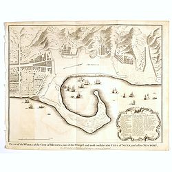
Plan of the Works of the city of Messina . . .
Fine bird's-eye plan of the city Messina. A decorative cartouche encloses a detailed key to the map that locates the castle, bastillon, armaments and government building...
Place & Date: London, 1706
Selling price: $25
Sold in 2023
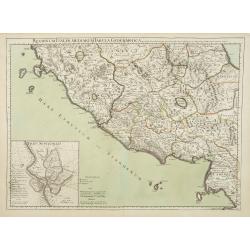
Regionum Italiae mediarum Tabula Geographica..
Fine historical map of central Italy with Tuscany and centered on Rome, in the south Pompeii, in top the island of Giglio and the town Orbetello. Lower left inset plan of...
Place & Date: Paris, 1707
Selling price: $55
Sold in 2022
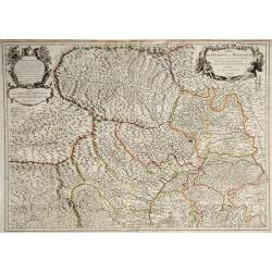
Carte du Piemont et du Monferrat.
This is the top section of a separately published two sheet map of The Alps region of France and Italy. Shows the regions of Savoy in France and Piedmont in Italy, and in...
Place & Date: Paris, 1707
Selling price: $20
Sold in 2010
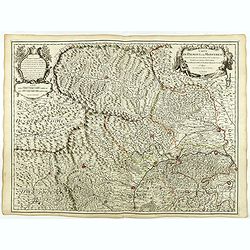
Carte du Piemont et du Montferrat.
Map of Piemont and Montferrat in Italy with the imprint " Chez l’Auteur sur le Quai de l’Horloge (address erased after Horloge). Avec Privilege, Avril 1707. Se t...
Place & Date: Paris, Avril 1707
Selling price: $100
Sold in 2018
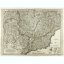
Partie Meridionale du Piemont et du Montferrat.
Map of the southern part of Piemont and of Montferrat in Italy with the imprint " Chez l’Auteur sur le Quai de l’Horloge (address erased after Horloge). Avec Pri...
Place & Date: Paris, 1707
Selling price: $50
Sold in 2024
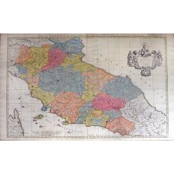
Estat du Grand Duc de Toscane, & Estats de L'Eglise / Estats de L'Eglise, et de Toscane. . .
A beautiful, large scale map of Tuscany, and the surrounding regions including the island of Elba and part of Corsica by Nicholas Sanson and published by Pierre Mortier. ...
Place & Date: Amsterdam: 1696-1708
Selling price: $435
Sold in 2010
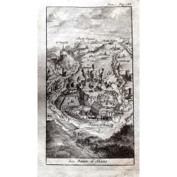
Les Bains d'Abano.
A small but detailed view of Abano Terme, with buildings, landscape, streets and people. From "Les Delices de l'Italie." by Alexandre de Rogissart.
Place & Date: Leiden, 1709
Selling price: $55
Sold in 2021
Nouvelle carte de l'Italie ou sont exactement marquez les postes et les chemins. . .
Map of Italy, with depiction of the most important post routes. To the left the islands of Corsica and Sardine. Prepared by Cantelli, Giacomo Cantelli (1643-1695). With t...
Place & Date: Leiden, c. 1710
Selling price: $350
Sold
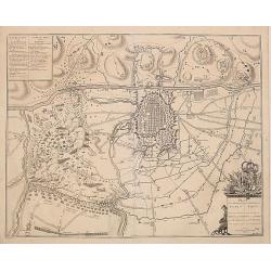
Plan de la Bateille de Turin..
Extremely fine and detailed plan by Huchtenburg depicting the siege of Turin (Italy) by Price Eugene on September 7th 1706.
Place & Date: Brussels 1710
Selling price: $50
Sold
Legazione di Bologna . . .
A uncommon map of part of the Bologna region in northern Italy, in the Po Valley, between the Po River and the Apennines, exactly between the Reno River and the Sàvena R...
Place & Date: Rome, ca. 1710
Selling price: $395
Sold in 2009
Carte nouvelle de Bergamasco, faisant partie des Etats de la Republique de Venise
Rare large scale map of the area around Bergamo, northern Italy, including the Lake Iseo (Lago d'Iseo). Very detailed map showing also mountain passes in the Alps! A ta...
Place & Date: Amsterdam, c1710
Selling price: $500
Sold
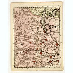
(Lake Maggiore, Arona, Novara, Monferrato, Valence, etc.)
Rare miniature map including Lake Maggiore and the towns of Arona, Novara, Monferrato, Valence, etc. From "Le theatre De Bellone, Contenant 48. nouvelles Cartes Geog...
Place & Date: Amsterdam, 1710
Selling price: $40
Sold in 2016
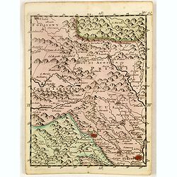
(Brinaçon, Susa, Turin, etc.)
Rare miniature map including the towns of Brinaçon, Susa, Turin, etc. From "Le theatre De Bellone, Contenant 48. nouvelles Cartes Geographiques, Des Païs-Bas Espag...
Place & Date: Amsterdam, 1710
Selling price: $35
Sold in 2019
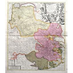
Les Estats De Savoye, Piemont, et le Comte de Nice.
An attractive folio map of northern Italy (Piemonte and Torino) and Savoie. Extends from Lake Geneva until Nice and Monaco. Large decorative cartouche with the coat of ar...
Place & Date: Amsterdam, ca. 1710
Selling price: $40
Sold in 2018
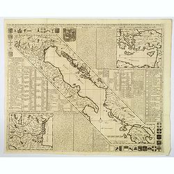
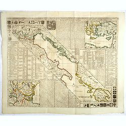
Carte de Geographie des Differents Etats de la Republique de Venise. . .
An attractive and detailed engraving of the Gulf of Venice and adjacent Italian and Dalmatian coastlines. The main map runs diagonally across the sheet with inset detail ...
Place & Date: Amsterdam, 1710
Selling price: $220
Sold in 2019
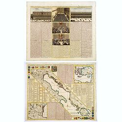
Carte du Gouvernement Civil et Politique de l a Republique de Venise ses Differens Conseils de Palais de St Marc et Celui des procurateurs.
This impressive engraving is a wonderful example of Chatelain's elegant plates. It provides a detailed description of the infrastructure of the Venetian government. Ornam...
Place & Date: Amsterdam, 1710
Selling price: $95
Sold in 2020
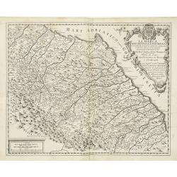
La Marca Anconitana, e Fermana . . .
A uncommon map of part of the March regions in the province of Ancon in central Italy. Based on the reports of Giacomo Cantelli da Vignola and published in Roma in Giacom...
Place & Date: Rome, ca. 1711
Selling price: $200
Sold in 2009
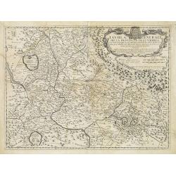
Tavola Generale della Provincia dell' Umbria . . .
An uncommon, map of part of the Umbria region, based on the reports of Giacomo Cantelli da Vignola and published in Roma in Giacomo de Rossi's world atlas "Mercurio ...
Place & Date: Rome, ca. 1712
Selling price: $250
Sold in 2009
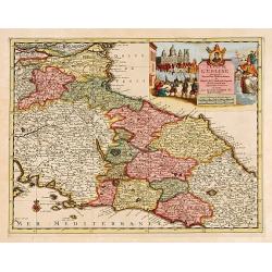
L'Etat de L'Eglise..
Although not renowned for the originality of his work, Pieter van der Aa is highly thought of for the design and quality of his output. Showing central part of Italy. Its...
Place & Date: Amsterdam 1713
Selling price: $320
Sold
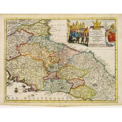
L'Etat de L'Eglise..
Although not renowned for the originality of his work, Pieter van der Aa is highly thought of for the design and quality of his output. Showing central part of Italy. Its...
Place & Date: Amsterdam 1713
Selling price: $105
Sold
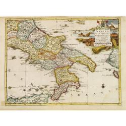
Le Royaume de Naples..
Uncommon and detailed map of southern Italy, from Nouvelle atlas, trés-exact et fort commode pour toutes sortes de personnes, contenant les principales cartes géographi...
Place & Date: Leiden 1714
Selling price: $131
Sold
L'Italie.
Uncommon and detailed map of Italy, from Nouvelle atlas, trés-exact et fort commode pour toutes sortes de personnes, contenant les principales cartes géographiques.. .A...
Place & Date: Leiden 1714
Selling price: $135
Sold
Seigneurie de Venise..
Uncommon and detailed map of the Gulf of Venice and its mainland, from Nouvelle atlas, trés-exact et fort commode pour toutes sortes de personnes, contenant les principa...
Place & Date: Leiden 1714
Selling price: $131
Sold
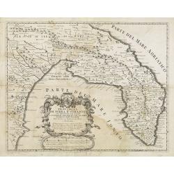
Provincia Di Terra d'Otranto . . .
In lower left hand corner a large ornamental title cartouche. A decorative map of the Otranto region in Italy, based on the reports of Giacomo Cantelli da Vignola and pub...
Place & Date: Rome, ca. 1714
Selling price: $500
Sold
Giardino dell N.H. Sig.r Gio. Francesco Morosini in Padova.
A fine large copper engraving of the garden of N.H. Signor Francesco Morosini in Padua. Published in 1714 in Nuremberg, it is by Volckamer from "Nurnbergische Hespe...
Place & Date: Nuremberg, 1714
Selling price: $65
Sold in 2016
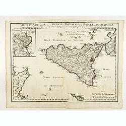
Siciliae Antiquae quae et Sicania et Trinacria dicta tabula geographica.
Map of the ancient Sicily published by Delsile with the imprint 'sur le Quai de l’Horloge cum Privilegio Apr. 1714". Shows forests, a smoking Mount Etna, etc. Cove...
Place & Date: Paris, 1714
Selling price: $100
Sold in 2022
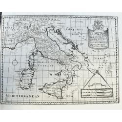
A New Map of Present Italy, together with the Adjoining Islands of Sicily, Sardinia, and Corsica. . .
A scarce copper engraved map of Italy with many places names. A legend key identifies universities. With a large title banner and a distance scale with dividers, dedicate...
Place & Date: Oxford, ca 1701-1714
Selling price: $55
Sold in 2020
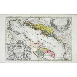
Le Golfe de Venise Avec ses Principaux Caps Promontiores & Ports de Mer. . .
Map of the Gulf of Venice also known as the Adriatic Sea by Sanson and published by Covens and Mortier. The colored areas include southern Italy to the west and Dalmatie ...
Place & Date: Amsterdam, c. 1715
Selling price: $825
Sold in 2010
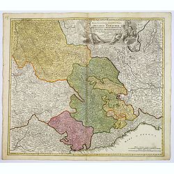
Regiae Celsitudinis Sabaudicae. . .
A detailed map of the Piedmont region in Northern Italy. The major cities of Torino, Milan, and Genoa and Geneva, Switzerland are all shown. Johann Baptist Homann was a G...
Place & Date: Nuremberg, ca. 1715
Selling price: $175
Sold in 2017
Ville et Environs de Mantoue.
An extremely detailed city map of Mantova in Lombardia, published by Pierre Mortier, after Blaeu. An attractive birds-eye view including all the city's main buildings, in...
Place & Date: Amsterdam, 1704/1715
Selling price: $150
Sold in 2022
Le Royaume de Naples.
Map of the southern part of Italy, with an inset picturing Sardinia.From De Fer's Atlas Curieux.
Place & Date: Paris, 1705-1717
Selling price: $120
Sold in 2012
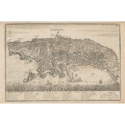
Naples.
Map of the city of Naples.From De Fer's Atlas Curieux.
Place & Date: Paris, 1705-1717
Selling price: $150
Sold in 2012
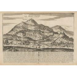
Le Mont Cassin ...
Engraving of Monte Cassino, near the town of Cassino between Rome and Naples.From De Fer's Atlas Curieux.
Place & Date: Paris, 1705-1717
Selling price: $120
Sold in 2014
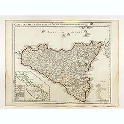
Carte de l'Isle et Royaume de Sicile . . .
Detailed map of Sicily. Inset map of Malta :"Carte particulière de l'Ile de Malte". With the address : Chez l’Auteur sur le Quai de l’Horloge avec Privileg...
Place & Date: Paris, 1717
Selling price: $160
Sold in 2022
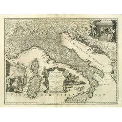
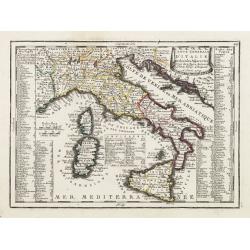
Carte Generale D'Italie Et des Isles Adjacentes..
Decorative map of Italy displaying at both sides a list containing the names of the popes. In the Tyrrhenian Sea instead, a table presents a list of the Antipopes.From Le...
Place & Date: Paris, 1719
Selling price: $50
Sold in 2022
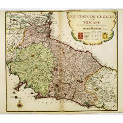
Les etats de L'eglise et de Toscane..
Rare map of Tuscany and the island of Elbe... Prepared by Nicolas de Fer.
Place & Date: Paris, 1719
Selling price: $750
Sold
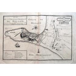
Plan de la Ville et Chateau de Melazo,...
Very rare map of the city and bay of Milazzo in Sicily. Shows the town during the attacks through the Spanish during 1718 and 1719. Illustrates the town and fortification...
Place & Date: Paris, 1719
Selling price: $220
Sold in 2016
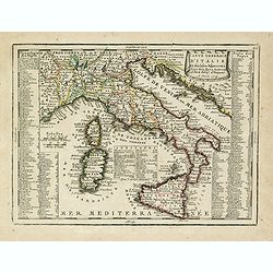
Carte Generale D'Italie Et des Isles Adjacentes. . .
Decorative map of Italy displaying at both sides a list containing the names of the popes. In the Tyrrhenian Sea instead, a table presents a list of the Antipopes.From Le...
Place & Date: Paris, 1719
Selling price: $100
Sold in 2023
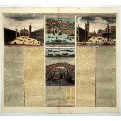
Carte du Gouvernement Militaire de la Republique du Venise...
Very decorative folio sheet with five engraved views in Venice: "Vue de la Palace de St. Marc" (Piazza San Marco), a birds-eye map of "L'Arcenal", &qu...
Place & Date: Amsterdam, 1719
Selling price: $25
Sold in 2016
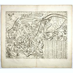
Plan Des Antiquitez De Rome Representes Et Distingues Suivant La Situation De Chacun De Ses Anciens Monuments.
Copper engraved plan of Ancient Rome, identifying over 100 a hundred buildings, bridges, churches, fountains. Taken from Chatelain's monumental 7 volume Atlas Historique,...
Place & Date: Amsterdam, 1719
Selling price: $177
Sold in 2017
L'Italie Dans Son Premier Etablissement Sous La Republique Romaine Dans La Division par Cesar Auguste Et Ses Differents Gouvermens Sous Les Papes.
A most fascinating map of Italy. It encompasses maps of Italy during modern times (beginning of the XVIII century), at the time of Cesear, and at the time of the beginnin...
Place & Date: Amsterdam, 1719
Selling price: $140
Sold in 2022
Carte de geographie des differents etats de la Republique de Venise. . .
A fine map of the Adriatic Sea and Gulf of Venice, extending until Athens and Peloponnese. It names islands such as Corfu, Kefalonia,, and many of the Croatian islands. I...
Place & Date: Amsterdam, 1719
Selling price: $60
Sold in 2019
Celeberrima Urbs Venetiae. (Venice)
Precise, beautiful bird's-eye view of Venice and neighboring islands (Murano, Burano, Torcello and Mazorbo), clearly depicting the city's architectural landmark. The surr...
Place & Date: Amsterdam 1720
Selling price: $3000
Sold
L´Italie...
Title: L´Italie. Dressée sur les Observations de Mrs. de l´Academie Royale des Sciences sur celles du R.P. Riccioli de la Compagnie de Jesus et autres Astronomes du pa...
Place & Date: France, c. 1720
Selling price: $300
Sold in 2018
Italia Antiqua cum insulis Sicilia Sardinia..
Fine map of ancient Italy, including Sardinia and Corsica.A Amsterdam issue of the map by Nicolas Sanson.
Place & Date: Amsterdam 1720
Selling price: $450
Sold
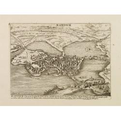
Mantoue Ville de la Lombardie Transalpine.
A very RARE panoramic view of the city of Mantua, including a numbered legend in the lower part.Published by the brothers Chéreau, active in Paris at rue st.Jacques au G...
Place & Date: Paris, c.1720
Selling price: $200
Sold in 2010
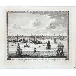
VENETIE, GELEGEN IN DE HADRIATISCHE ZEE IN VERSCHEIDE EILANDEN AFGEDEELT
Rare view of Venice by Pieter Schenk.
Place & Date: Amsterdam, 1720
Selling price: $510
Sold in 2018
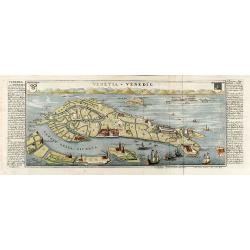
Venetia - Venedig
Beautiful colored birdeye view of Venice by Gabriel Bodenehr. Showing the important buildings, several sailing ships and German description on both sides. Printed from tw...
Place & Date: Augsburg, 1720
Selling price: $450
Sold in 2010
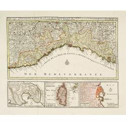
Nouvelle Carte de l'Etat de la Republique de Genes. Dressé sur les mémoires les plus nouveaux. . .
Uncommon map of the Ligurian coast around Genoa in northern Italy with three insets below of the harbors of Genoa and Bastia and the island of Corsica. Joachim Ottens (16...
Place & Date: Amsterdam, ca. 1720
Selling price: $270
Sold in 2022
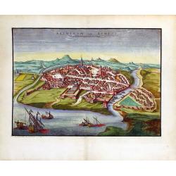
Ariminum Vulgo Rimini.
A splendid view of Rimini, Italy done by Pierre Mortier in the early 18th century.
Place & Date: Amsterdam, ca. 1720
Selling price: $310
Sold in 2010
Vue et représentation de la bataille de Hochstedt donnée le 13 d\'aoust 1704. . .
Extremely fine and detailed engraving by Huchtenburg depicting the siege of Hochstedt (Germany) by Price Eugene on August 13th 1704.From Jean Dumont's, "Batailles ga...
Place & Date: The Hague, Pierre Husson, 1720
Selling price: $46
Sold in 2011
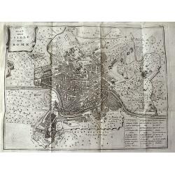
Plan de la Ville de Rome.
Unusual bird's-eye plan of Rome, by Peter van der Aa, probably after De Fer. A detailed view of the city, its expansive walls and the surrounding fields. Shows streets a...
Place & Date: Leiden, 1720
Selling price: $115
Sold in 2011
Parte Alpestre dello Stato di Milano, con il Lago Maggiore di Lugano, e di Como.
Highly detailed copper engraved map of the Lago Maggiore, Lago di Lugano, and Lago di Como area. Includes the cities of Bergamo, Milano, Como, Arona, Bellinzona, Locarno,...
Place & Date: Amsterdam, c1720
Selling price: $480
Sold
Vue et représentation de la Bataille de Chiari donnée le 1 septebre 1703. . .
Extremely fine and detailed engraving by Huchtenburg depicting the siege of Chiari (Italy) by Price Eugene on September 1st 1703.From Jean Dumont's, "Batailles gagn�...
Place & Date: The Hague, Pierre Husson, 1720
Selling price: $330
Sold in 2014
L'idée geneale du conclave de l'exaltation des papes, de leur pompe funebre et des differentes juridictions de la cour de Rome.
A fascinating decorative chart showing the assemblies in the Vatican, a view of St Peters, six interior views, a plan of the Vatican and military and papal musters. Henri...
Place & Date: Amsterdam, 1720
Selling price: $50
Sold in 2018
Carte historique et cronologique pour servir de suite à l' Histoire Romaine.
Interesting sheet with a small portraits of the Roman Emperors. Henri Abraham Chatelain (1684 – 1743) was a Huguenot pastor of Parisian origins. He lived consecutively ...
Place & Date: Amsterdam, 1720
Selling price: $30
Sold in 2017
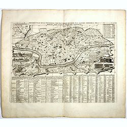
Nouveau Plan De La Ville De Rome Tire Pare Ordre Du Pape Par Mateo Gregoria De Romans Tres Utille Pour Les Voiageurs . . .
Fine plan of Rome with extensive key to principal buildings in town, with inset views of 10 major churches and structures, including St. Peters and the Vatican. Atlas His...
Place & Date: Amsterdam, 1720
Selling price: $90
Sold in 2017
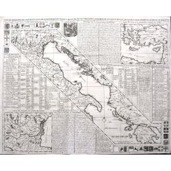
Carte de Géographie des différents Etats de la République de Venise . . .
Interesting map of the Gulf of Venice with inset map of the surroundings of Venice and map of Turkey in upper right corner. Descriptive French text, from Chatelain's monu...
Place & Date: Amsterdam, 1720
Selling price: $95
Sold in 2017
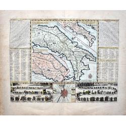
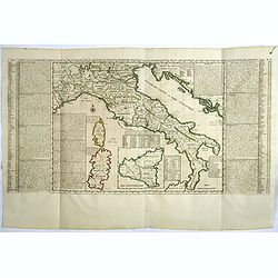
Nouvelle Carte De L'Etat Present De L'Italie Pour Parvenir par Une Methode Nouvelle A La Connoissance De La Geographie Et De L'Histoire.
Attractive and highly detailed map of Italy, colored by Kingdoms and showing Corsica, Sardinia and an inset of Sicily. Extensive text annotations on either side of this w...
Place & Date: Amsterdam, 1720
Selling price: $50
Sold in 2021
Carte du Gouvernement Civil et Politique...Venise / Carte de geographie des Differents Etats...Venise. . .
These impressive plates and maps are a wonderful example of Chatelain’s elegant skills. Both included in the 1720 edition of theAtlas Historique, published in Amsterdam...
Place & Date: Amsterdam, 1720
Selling price: $200
Sold in 2017
Carte Genealogique des Divinitez du Paganisme, l' Incertitude de leur Origine avec des Instructions poour conduire a la Connoissance de la Fable et a l' Histoire Ancienne et Moderne avec Diverses Observations...
Showing a genealogy of the Pagan (Roman) deities, including details of their origins. Small insets show the ancient Roman Gods such as Venus, Apollon . . .Henri Abraham C...
Place & Date: Amsterdam, 1720
Selling price: $25
Sold in 2018
