Browse Listings in Antique Maps > Europe > Italy
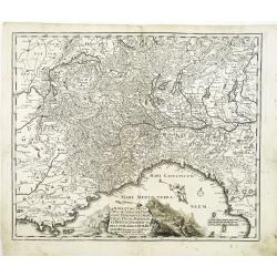
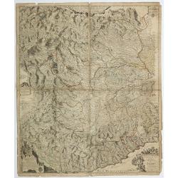
Nova et accurata Ducatus Sabaudiae, Principat. Pedemont. et Montferat., Ducatus Mediolan. et Reipub. Genuensis tabula cum adiacentibus Regionibus itemq. viis, ex Gallia, per Alpes in Italiam ducentibus . . .
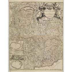
Scarce and detailed map of Piedmont et Montferrat. Engraved by Joachim von Sandrart. The artist and art historian Jacob von Sandrart (1630-1708). The Mediterranean is fil...
Place & Date: Nuremberg, c. 1680
Selling price: $700
Sold
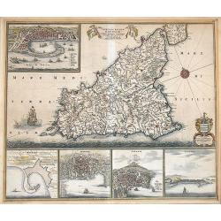
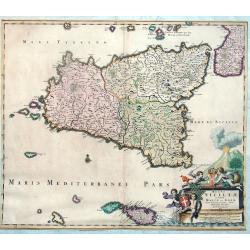
Insula sive Regnum Siciliae Urbibus praecipuis exornatum.
An old color example of De Wit's famous map of Sicily, with the view of Messina, Milazzo, Palermo Catania, and Trapani.It is one of the most decorative maps of Sicily fro...
Place & Date: Amsterdam, 1680
Selling price: $900
Sold in 2012
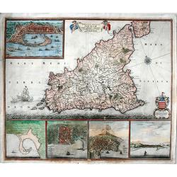
Insula sive regnum Siciliae.
Extremely decorative, fine old color example of De Wit's rare map of Sicily. It shows in details the cities of Messina, Milazzo, Palermo, Catania and Trapani.It is consid...
Place & Date: Amsterdam, 1680
Selling price: $500
Sold in 2017
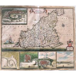
Insula sive regnum Siciliae.
An extremely decorative, large, fine old color example of De Wit's rare map of Sicily. It shows in detail the cities of Messina, Milazzo, Palermo, Catania and Trapani.It ...
Place & Date: Amsterdam, 1680
Selling price: $790
Sold in 2019
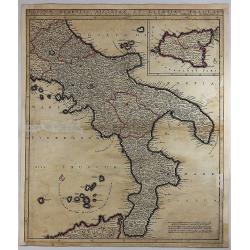
Regnum Neapolis Sisiliae et Lipariae Insulae.
A detailed map of the southern part of Italy, with a large inset of Sicily. Extends north to include Aprutium Ulterius (Aquila). Some major cities shown include; Napoli, ...
Place & Date: Amsterdam, 1680
Selling price: $55
Sold in 2018
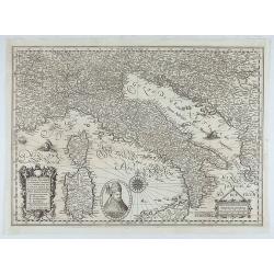
Italiae, Illirici, Sardiniae, Corsicae, et confinium regionum nova et exacta descriptio. Petro Plancio auctore. . .
Very rare map of Italy showing the area between Geneva (Switzerland), Szeged (Ottoman Hungary) and Catania (Sicily), showing patriarchates, archbishoprics and bishoprics,...
Place & Date: Paris / London, c. 1680
Selling price: $4100
Sold in 2020
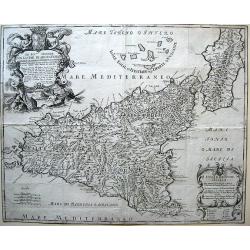
Isola e regno di Sicilia.
Rare map of Sicily by prepared Giacomo Cantelli da Vignola and published by Giacomo Giovanni Rossi. Includes several ornate cartouches and a dedication to Signore Don Gas...
Place & Date: Rome, 1682
Selling price: $475
Sold in 2010
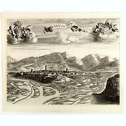
Cuneum vulgo Coni.
A beautifully engraved and richly decorated bird's-eye view of Cuneo with the river Stura in the foreground. Blaeu used the work of BORGONIO Giovanni Tommaso Borgonio (16...
Place & Date: Amsterdam, 1682
Selling price: $325
Sold in 2014
Segusium prima ab alpibus cotiis civitas.
Splendid city view of Susa, a small city west of Turin near the French border. The view was included in the fourth volume of the town book of Italy, published by the heir...
Place & Date: Amsterdam, ca. 1682
Selling price: $95
Sold in 2018
Regiae Venationis Aedium Prospectus.
Splendid city view of Turin, which was probable engraved by Romeyn de Hooghe (1645-1708). The view was included in the fourth volume of the town book of Italy, published ...
Place & Date: Amsterdam, ca. 1682
Selling price: $240
Sold in 2018
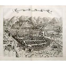
[Fossano] Delinea Civitatis Fossani In Principatu Pedemontii
Showing in great detail a bird's-eye view of Fossano, in the Piedmont region of Northern Italy. From "Theatrum Sabaudiæ". Engraved by J. de Ram.Joan Blaeu publ...
Place & Date: Amsterdam, 1682
Selling price: $150
Sold in 2020
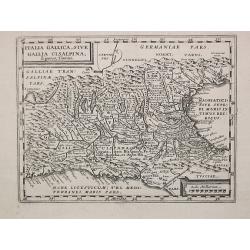
Italia Gallica, sive Gallia Cisalpina.
Philippe Cluverius (1580-1622), geographer of Danzig, settled in Leiden (Holland) specialized in Near Easrt and Ancient Geography. His main works ' Geographicus Academicu...
Place & Date: Amsterdam, 1683
Selling price: $90
Sold
[8 text pages with coastal views] Des Côtes Maritimes d' Italie, entre Piombino & l' Estroit de Messine avec la Coste Septentrionale, Meridionale & Orientale de l' Isle de Sicile.
Description of the coasts of Italy from Piobino southwards and of Corsica. With small charts within the text of Palermo, the Strait of Messina, Sergento, Saragossa, Messi...
Place & Date: Amsterdam, 1683
Selling price: $110
Sold in 2018
[ Italy and Corsica ]
Charming wood block map of Italy and Corsica by the Italian XVIth and XVIIth century writer, humanist and cartographer Giuseppe Rosaccio. Taken from the 1688 Bologna &quo...
Place & Date: Bologna, Antonio Pisarri, 1594 - 1688
Selling price: $475
Sold in 2011
Regni Siciliae et Insulae Maltae et Gozae Cum Circumjacentibus Insulis Descriptio
Joannes De Ram map of Sicily and Malta, appeared in an Abraham Wolfgang composite atlas, published ca 1688. RARE!The map includes a decorative allegorical cartouche wit...
Place & Date: Amsterdam, 1688
Selling price: $600
Sold in 2013
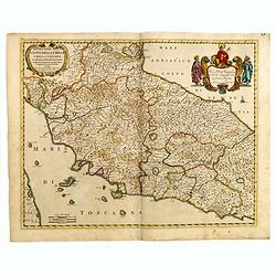
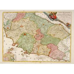
Descripttione Dello Stato Della chiesa e della Toscana...
Giacomo Rossi's fine late 17th century map of center part of Italy with old manuscript annotation in brown ink next to Rome "Republica 1849). Issued in Il Mercurio g...
Place & Date: Rome, 1669-1688
Selling price: $190
Sold in 2015
Tavola Esacatta dell'Antico Latio E Nova Campagna Di Roma...
Fine map engraved by Giorgio Wittman. Giacomo Rossi's fine late 17th century map centered on Rome, with old manuscript annotation in brown ink "Republica 1849. Issue...
Place & Date: Rome, 1666-1688
Selling price: $85
Sold in 2015
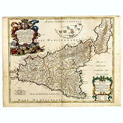
Isola Regno di Sicilia...
Fine map engraved by Francis Donia Messis. Giacomo Rossi's fine late 17th century map of Sicily. Issued in Il Mercurio geografico In lower right hand corner large title c...
Place & Date: Rome, 1682-1688
Selling price: $250
Sold in 2015
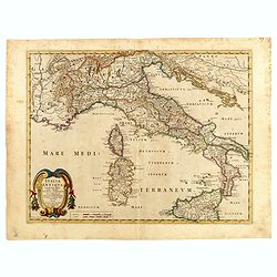
Italia Antiqua cum itineribus antiquis...
Giacomo Rossi's fine late 17th century map of Ancient Italy. Issued in Il Mercurio geografico In lower left hand corner title cartouche.
Place & Date: Rome, 1678-1688
Selling price: $150
Sold in 2015
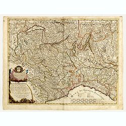
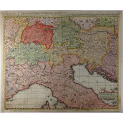
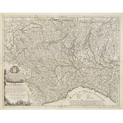
Alta Lombardia e stati ad essa circonuicini . . .
Engraved by Giorgio Widman. Giacomo Rossi's fine late 17th century map of Northern Italy. Issued in Il Mercurio geografico In lower left a tittle cartouche.The cartograph...
Place & Date: Rome, 1680-1688
Selling price: $210
Sold in 2015
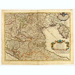
Bassa Lombardia et altre apprendici. . .
Engraved by Giorgio Widman. Giacomo Rossi's fine late 17th century map of part of Italy centered on Venice. Issued in Il Mercurio geografico In lower right a tittle carto...
Place & Date: Rome, 1681-1688
Selling price: $210
Sold in 2015
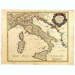
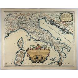
Italia divisa ne svoi regni, prini, pati, ducati...
Giacomo Rossi's fine late 17th century map of Italy. Issued in Il Mercurio geografico In upper right a tittle cartouche.The cartographer was Giacomo Cantelli da Vignola (...
Place & Date: Rome, 1681-1688
Selling price: $300
Sold in 2015
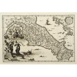
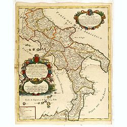
Regno di Napoli nuouamente descritto da Giacomo Cantelli da vignola...
Giacomo Rossi's fine late 17th century map of southern part of Italy. Issued in Il Mercurio geografico In upper left a tittle cartouche, with a decorative scale cartouche...
Place & Date: Rome, 1679-1688
Selling price: $220
Sold in 2015
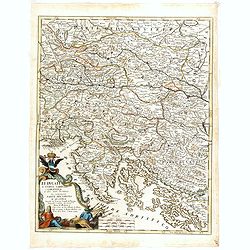
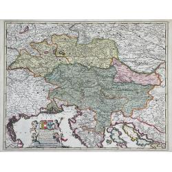
Li ducati di Stiria, Carintia è Carniola et altri stati ereditary che compongono parte del circolo d'Austria. . .
Rossi's map of Triest with parts of Croatia, Austria and Hungary. The engraver was Giorgio Widman.Issued in Il Mercurio geografico In lower left corner a tittle cartouche...
Place & Date: Rome, 1688
Selling price: $325
Sold in 2015
Etats de l'Eglise qui sont le Ferrarois, le Bolognois..
A RARE and attractive map of central part of Italy centered on Siena, Florence, Lucca, etc. A visually stunning map with a large title cartouche. Includes an inset map of...
Place & Date: Paris 1689
Selling price: $520
Sold
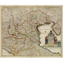
Dominii Veneti in Italia in Partes Accurate..
Rare issue of Cornelis Danckert's attractive map of northern part of Italy, including, Venice, Bologne, Parma, Vicenza, Verona, Ravenna, etc. Decorative title cartouche l...
Place & Date: Amsterdam 1690
Selling price: $550
Sold
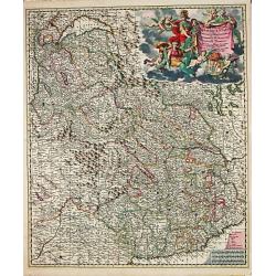
Regiae Celsitudinis Sabaudicae Status consistens Sabaudiae ac Montisferrati Ducatus, Pedemontii principatum, nec non Nicaeensem Comitatum.
An attractive map of Savoye. Embellished with a very large title-cartouche in beautiful coloring.From Frederick de Wit's' Atlas Maior'.
Place & Date: Amsterdam, F. de Wit, 1690
Selling price: $400
Sold
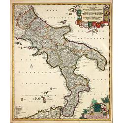
Regnum Neapolis.
Frederik de Wit (1610-98), Amsterdam-based cartographer and publisher. ' Atlas minor', 1670, ' Zee-Atlas', 1675, ' Atlas Major', 1690.An attractive map of the Knigdom of ...
Place & Date: Amsterdam, 1690
Selling price: $525
Sold
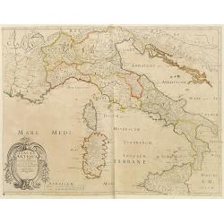
Italia Antiqua.
A fine map of Ancient Italy. This edition carries the date 1690, in manuscript.Nicolas Sanson was to bring about the rise of French cartography, although the fierce compe...
Place & Date: Paris, 1690
Selling price: $40
Sold in 2023
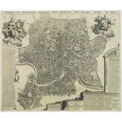
Novissima et accuratissima delineatio Romae veteris et noavae auctore Joanne de Ram.
A very detailed and decorative bird's-eye view of the town copied after J.B.Falda (1670). Two decorative cartouches and key insets to churches (1-266), Grave tombes(267-3...
Place & Date: Amsterdam, 1690
Selling price: $2200
Sold in 2009
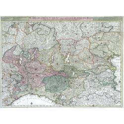
De Sotel Des Oorlogs in Italien, Waar in Vertoont Werden De Staat Van Milano, De Republicen Van Venetien en Genoua, De Landen Van Parma, Mantoua, Modena, Ferrara ...
Large, highly detailed map of the Duchy (state) of Milan, the republics of Venice and Genoa, and the regions of Parma, Mantua, Modena and Ferrara of northern Italy by Nic...
Place & Date: Amsterdam, c. 1690
Selling price: $450
Sold in 2010
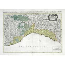
La Republique de Genes la Principaute de Piemont le Montferrat, et Partie du Duche de Milan.
Large scale map showing the Republic of Genoa, the Principalities of Piedmont, the duchy of Montserrate and southernwestern region of the Duchy of Milan in Northern Italy...
Place & Date: Paris, 1690
Selling price: $180
Sold in 2010
Ducatus Carintiae et Carniolae Cilleiae Comitatus. . .
Map of Italy including the duchies of Carinthia, Carniola and Cilleia once part of the Holy Roman Empire. Regions surrounding these duchies are also shown including Styri...
Place & Date: Amsterdam, c. 1690
Selling price: $380
Sold in 2010
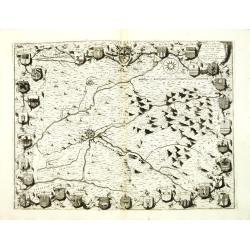
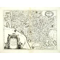
Territorio della citta di Forli . . .
Elaborate map centered on the town of Forli, south of Ravenna. Surrounded with 32 coats of arms. From Coronelli's rare Atlante Veneto, one of the most decorative and orna...
Place & Date: Venice, 1690
Selling price: $950
Sold in 2012
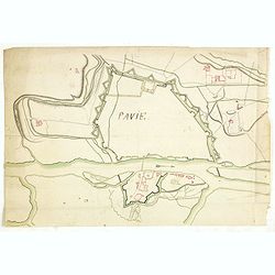
Pavie.
Manuscript drawing of the street layout and fortifications of the town of Pavia, in south-western Lombardy, northern Italy.Ticinum (the modern Pavia) was an ancient city ...
Place & Date: ca. 1690
Selling price: $600
Sold
Exactissima Tabula Qua Tam Danubii Fluvii Pars Superior. . .
A highly detailed map of the Upper Danube and the Sea of Liguria (or Genoa), published by Nicolaus Visscher in 1690. The map extends from the headwaters of the Danube in ...
Place & Date: Amsterdam, 1690
Selling price: $210
Sold in 2019
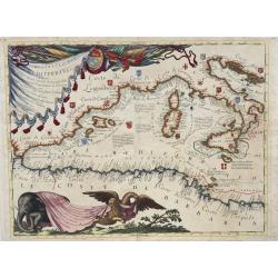
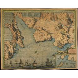
Ristretto del Mediterraneo...
Very large, extremely decorative map of the Western part of the Mediterranean Sea. It is embellished with coats of arms and decorative cartouches, Vincenzo Maria Coronell...
Place & Date: Venice, 1690
Selling price: $1600
Sold in 2023
Alta Lombardia e stati ad essa circonuicini . . .
Uncommon late 17th century map of part of the Lombardy region, based on the reports of Giacomo Cantelli da Vignola and published in Roma in Giacomo de Rossi's world atlas...
Place & Date: Rome, ca.1691
Selling price: $425
Sold in 2009
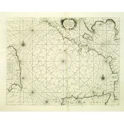
[ Adriatic Sea and the Gulf of Venice. ]
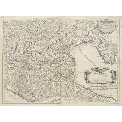
A late 17th century coastline map of the Adriatic Sea and the Gulf of Venice, based on the reports of Giacomo Cantelli da Vignola and published in Rome in Giacomo de Ross...
Place & Date: Rome, ca. 1691
Selling price: $375
Sold in 2009
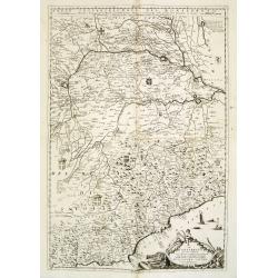
[Two maps] Il Piemonte . . . Ducato di Monferrato . . .
A set of two late 17th century maps of the Piedmont region and the hills of Montferrat and Langhe in the north-western corner of Italy, between the Alps and the Riviera, ...
Place & Date: Rome, 1691
Selling price: $500
Sold in 2009
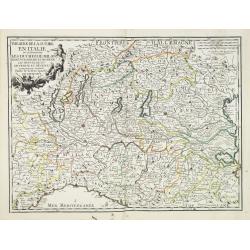
Theatre de la guerre en Italie ou se trouvent les Duchez de Milan. . .
Rare map of the northern part of Italy, including the towns of Rurin, Milan, Verona, Trente, Modena, Ravenna, Geneva, etc. Published by François Jollain (ca. 1641 – 18...
Place & Date: Paris, 1691
Selling price: $300
Sold in 2023
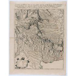
La Contea di Nizza divisa ne suoi quattro vicariati . . .
Giacomo Rossi's fine late 17th century map of Nizza province. . The principal settlements, mountain ranges and rivers are shown in detail.Read more about Giovanni Giacomo...
Place & Date: Rome, 1691
Selling price: $200
Sold in 2021
[The Parma Duchy].
A uncommon late 17th century map of part of the Parma Duchy in Italy, based on the reports of Giacomo Cantelli da Vignola and published in Roma in Giacomo de Rossi's worl...
Place & Date: Rome, ca. 1692
Selling price: $350
Sold in 2009
Parte Seconda Maritima del Patrimonio di S. Pietro . . .
An uncommon late 17th century map of part the Patrimony of S. Peter on the Adriatic coast, based on the reports of Giacomo Cantelli da Vignola and published in Roma in Gi...
Place & Date: Rome, ca. 1692
Selling price: $80
Sold in 2009
Bassa Lombardia . . .
Map of the Lombardy region in Northern Italy, dated 1681. In upper left corner a decorative dedicational cartouche. Lower right a title cartouche.Based on the reports of ...
Place & Date: Rome, ca. 1692
Selling price: $400
Sold in 2009
Profil de la ville de Rome. . .
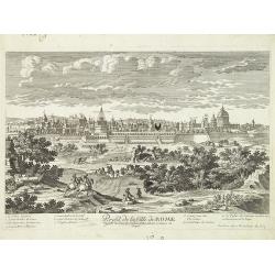
A very decorative and rare of Rome, including a numbered key ( 1- 10 ) in lower part. Engraved by Pierre-Alexandre Aveline. With "Aveline avec Privilege du Roy"...
Place & Date: Paris, ca.1692
Selling price: $380
Sold in 2017
Les etats de Savoie et de Piemont. . .
Fine map of the Savoie and Piedmont with a decorative title and scale cartouche.Alexis-Hubert Jaillot (1632-1712), was a French cartographer. He joined the Sanson heirs a...
Place & Date: Amsterdam, 1692
Selling price: $1600
Sold
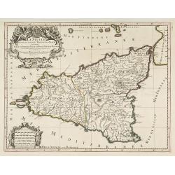
La Sicile divisee en ses trois povinces ou valees. . .
Fine map of Sicily with a decorative title and scale cartouche. The island is divided into three provinces.Alexis-Hubert Jaillot (1632-1712), was a French cartographer. H...
Place & Date: Amsterdam, 1692
Selling price: $600
Sold in 2017
Republica di Lucca, Nella Toscana.
Northern Tuscany, with Lucca, La Spezia and Pisa.From Coronelli's rare Corso Geografico Universale, one of the most decorative and ornate of all 17th century atlases. The...
Place & Date: Venice, 1692
Selling price: $550
Sold in 2012
Le royaume de Naples divise en 12 provinces.
Fine map of Royaume of Naples with a decorative title and scale cartouche.Alexis-Hubert Jaillot (1632-1712), was a French cartographer. He joined the Sanson heirs and red...
Place & Date: Amsterdam, 1692
Selling price: $250
Sold in 2023
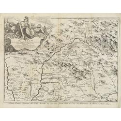
Il Lazio . . .
A uncommon, late 17th century map of the province of Rome, called the Lazio Region, based on the reports of Giacomo Cantelli da Vignola and published in Rome by Domenico ...
Place & Date: Rome, 1693
Selling price: $75
Sold in 2009
Principauté d'Onéglia Marquisat de Final et Partie du Piemont du Monferrat et de la Republique de Genes . . .
A wall map of the Piedmont region and the hills of Montferrat and the Republic of Genoa.The Most Serene Republic of Genoa (Italian: Repubblica di Genova, Ligurian: Repúb...
Place & Date: Paris, 1693
Selling price: $160
Sold in 2019
L'Italia con le Sue Poste e Strade Principali.
A beautiful map of Italy featuring its Post Routes and Highways. This elegant chart of Italy extends to show the Adriatic, some of the Balkans, west to include Provence t...
Place & Date: Rome, 1695
Selling price: $725
Sold in 2018
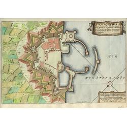
Civita-Vechia.
Nice city plan of Huningue at the Rhine river.
Place & Date: Paris 1696
Selling price: $60
Sold
Plan de la Fortresse de Portolongone en l'Ysle Delbe...
Exceedingly rare plan of Porto Longone, also known as Porto Azzurro, on the Island of Elba. Published in Les Glorieuses Conquestes de Louis le Grand - one of the most imp...
Place & Date: Paris, 1696
Selling price: $750
Sold in 2010
La costa d'Italia da Porto Hercole sino a C. dell'Arme et una parte di Sicilia et Sardinia.
Elaborate and scarce chart of the Tyrrhenian Sea with the north coast of Sicily and the east coast of Sardinia originally made for "Prima Parte dello Specchio del Ma...
Place & Date: Venice, 1696
Selling price: $400
Sold in 2012
Il Monferrato. . .
A beautiful and flamboyantly engraved large-scale map of Monferrato including the towns of Turin, Casale, Alessandria, Ovada, etc. The map is the product of the late 17th...
Place & Date: Venice, ca. 1696
Selling price: $340
Sold in 2015
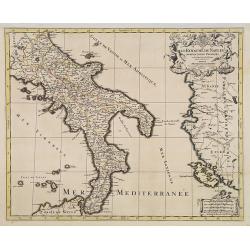
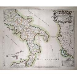
Le Royaume De Naples Divisé En Douze Provinces.
Striking large and highly detailed map of southern Italy, from Rome until Sicily. Including parts of Albania and Greece with Corfu. Also including many small islands: Tre...
Place & Date: Paris, 1696
Selling price: $65
Sold in 2014
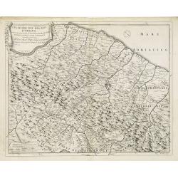
Legatione del Ducato d'Urbino . . .
A uncommon, late 17th century map of part of the Urbino region, based on the reports of Giacomo Cantelli da Vignola and published in Rome by Domenico de Rossi's world atl...
Place & Date: Rome, ca.1697
Selling price: $200
Sold in 2009
Florentia Pulcherrima et Ruriae Civitas.
Detailed bird's-eye view of the town of Florence from Frederick de Wit's rare town book. With two keys 1-17 and 1-228 to important spots in town. To the left and right on...
Place & Date: Amsterdam, 1697
Selling price: $2000
Sold in 2009
[No title] Nine views of Italian buildings, churches in Ravenna.
A page with nine views of buildings, churches and monuments in Ravenna.On verso a map of the Malay Peninsular as far south as Singapore. (215x275mm) With three small brow...
Place & Date: Venice, 1698
Selling price: $260
Sold in 2012
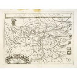
Il Ducato di mantova nella Lombardia. . .
A beautiful and flamboyantly engraved large-scale map of Mantova region in Lombardia. On verso letter press with a view of Lake Garda "Isole del Lago di Garda" ...
Place & Date: Venice, 1698
Selling price: $200
Sold in 2017
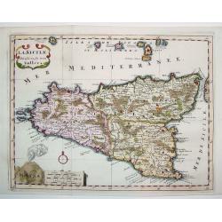
La Sicile Divisee en ses trois Valles
A fabulous small map of Sicily showing the island's political divisions, with considerable detail of topography, cities, towns and villages. The work also includes the Ae...
Place & Date: Paris, 1699
Selling price: $300
Sold
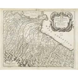
Legatione della Romagna . . .
A uncommon, late 17th century map of part of the Romagna region, based on the reports of Giacomo Cantelli da Vignola and published in Rome, by Domenico de Rossi's in his ...
Place & Date: Rome, ca. 1699
Selling price: $325
Sold in 2009
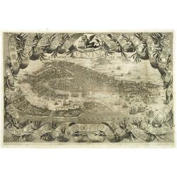
Venise.
A rare and decorative bird's eye view of Venice, copied after Coronelli's plan of 1693. Included in "Voyages De Mr. Du Mont En France, En Italie, En Allemagne, à Ma...
Place & Date: Paris, Etienne & François Foulque, c.1699
Selling price: $2200
Sold in 2011
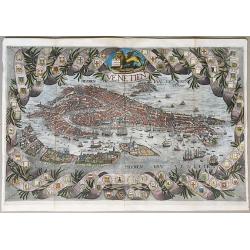
Venetien.
A rare unrecorded variant of Coronelli's spectacular bird's eye view of Venice. Hand colored, very possibly old coloring. A spectacular view of Venice, with a highly deco...
Place & Date: Paris, ca. 1699
Selling price: $1150
Sold in 2020
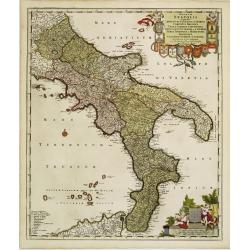
Regnum Neapolis..
Uncommon re-issue of this fine map of the southern part of Italy. In top putti holding the 12 coats of arms. Lower right scale and putti holding coat of arms of the town ...
Place & Date: Amsterdam, 1700
Selling price: $600
Sold in 2008
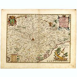
[ Lago di Sabaudia / Baia d'Argento ] Manuscript map on paper.
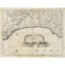
A large and decorative manuscript map on paper, oriented west to the top. In the center "Lago di Santa Maria", which is presently called "Baia D'Argento&qu...
Place & Date: Italy, c.1700
Selling price: $1950
Sold in 2011
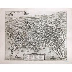
Neapolis
A magnificent, large view of Naples. Rare. Son of the cartographer and publisher Frederick de Wit (1610-1698), he bought plates of Jansson’s "Town Plans", iss...
Place & Date: Amsterdam, ca 1700
Selling price: $590
Sold in 2017
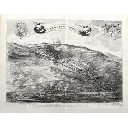
Verzolium Oppidum.
A large birds-eye view of the town of Verzuolo. The town lies between Cuneo and Torino. Superbly engraved with numerous houses, a monastery, and the general landscape. A ...
Place & Date: Amsterdam, ca 1700
Selling price: $290
Sold in 2021
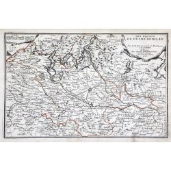
Les Estats du Duche de Milan. . .
Map of the duchy of Milan and surrounding regions. The territory of Milan, outlined in orange, was an independent state in northern Italy from 1395 to 1797, although an i...
Place & Date: Paris, 1701
Selling price: $55
Sold in 2010
Dominium temporale pontificis Romani in Italia.
A map from the series of maps by the Jesuit mathematician. A general map of central Italy, produced by Scherer to show the spread of Catholicism in the country. Heinrich ...
Place & Date: Munich c.1702
Selling price: $150
Sold
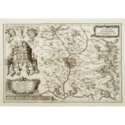
Latii Moderni geographica descriptio.
A map from the series of maps by the Jesuit mathematician. A detailed map centered on Rome, produced by Scherer to show the spread of Catholicism in the country. Heinrich...
Place & Date: Munich c.1702
Selling price: $230
Sold
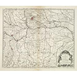
Le Cours du Po... / Les Duchez de Mantoue de Modene et de Parme. . .
Detailed and scarce map of the area of Mantua prepared by Placide de Sainte-Hélène (1648-1734). and published by Claude-Auguste Berey (1651-1732).This is the edition wh...
Place & Date: Paris, 1702
Selling price: $300
Sold in 2016
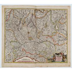
Belli Typus in Italia, Victricis Aquilae Progressus in Statu Mediolanensi et Ducatu Mantuae
Original hand-colored engraved map. (sheet size 53 x 59 cm.). .
Place & Date: Nuremberg, 1702
Selling price: $168
Sold in 2023
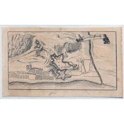
Castel di Finale.
Interesting 1702 engraved map featuring an aerial plan of Finale Ligure, Italy, with its fortifications.Published by Francis Maximilian Misson, originally François Maxim...
Place & Date: London, 1702
Selling price: $15
Sold in 2020
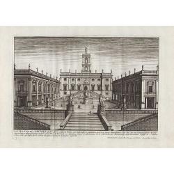
Le Nouveau Capitole ...
Nice view from Veües des plus beaux bâtimens de France, engraved by Perelle, published by Langlois.
Place & Date: Paris, c. 1687-1703
Selling price: $80
Sold in 2011
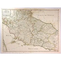
Estats de L'Eglise et de Toscane....
A fine and highly detailed map covering Tuscany, the States of the Church and neighbouring regions and the island of Elbe. This edition is dated 1703.Nicolas Sanson (1600...
Place & Date: Paris, 1703
Selling price: $21
Sold in 2016
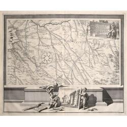
\'Urbis cum vicis seu Pagis adiacentibus Descriptio Dissertationi III de Aq. et Aqued et Aqued Veteris Romae Praemissa, authore Raph. Fabretto Gasp. f, Urbinate\'. by Jan van Vianen
Rare copper engraving map of Rome , that shows the water supply of Rome and its aqueducts.Engraved by Jan van Vianen after Jan Goeree published by Francois Halma in Amste...
Place & Date: Amsterdam, 1704
Selling price: $170
Sold in 2014
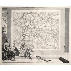
PARTIS LAT II. A. ROMA. LABICUM. USQUR DESCRIPTO DESSERTATIONI LIDE AQUIS ET AQUAE DUCTIBUS VETERIS ROMAE PRAEMISSA authore Raph Fabretto Gasp f, Urbinate\'.by Jan van Vianen
Rare copper engraving map of Rome, that shows the water supply of Rome and its aqueducts, to the South with two beautifully ornate cartouche. Engraved by Jan van Vianen a...
Place & Date: Amsterdam, 1704
Selling price: $120
Sold in 2014

![[Fossano] Delinea Civitatis Fossani In Principatu Pedemontii](/uploads/cache/45946-250x250.jpg)
![[8 text pages with coastal views] Des Côtes Maritimes d' Italie, entre Piombino & l' Estroit de Messine avec la Coste Septentrionale, Meridionale & Orientale de l' Isle de Sicile.](/uploads/cache/100210-250x250.jpg)
![[ Italy and Corsica ]](/uploads/cache/30320-250x250.jpg)
![[ Adriatic Sea and the Gulf of Venice. ]](/uploads/cache/27404-250x250.jpg)
![[Two maps] Il Piemonte . . . Ducato di Monferrato . . .](/uploads/cache/27406-250x250.jpg)
![[The Parma Duchy].](/uploads/cache/27388-250x250.jpg)

![[No title] Nine views of Italian buildings, churches in Ravenna.](/uploads/cache/32808-250x250.jpg)
![[ Lago di Sabaudia / Baia d'Argento ] Manuscript map on paper.](/uploads/cache/30281-250x250.jpg)
