Browse Listings in Antique Maps > Europe > Poland > General
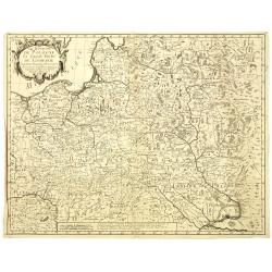
Royaume de Pologne
Rare copper engraved map of Poland, including parts of Lithuania, Latvia, Belarus and the Ukraine. It shows the area from Wroclaw until Moscow and the Black Sea. Names re...
Place & Date: Paris, 1734
Selling price: $100
Sold in 2021
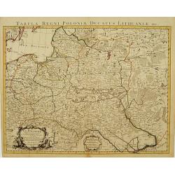
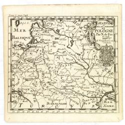
Les Etats de la couronne de Pologne. . .
Rare 1736 edition of De Fer's map of Poland, Lithuania and the Ukraine.The map is bounded by the Baltic, Muscovy, the Dniester and the Oder Rivers and extends to the Pala...
Place & Date: Paris, 1736
Selling price: $700
Sold in 2011
PRINCIPATUS SILESIAE BREGENSIS exactissima Tabula Geographica exhibens Circulos BRIEG, OHLAU, STREHLEN, NIMBTSCH, CREUTZBURG et PITSCHEN. . .
Map done during the reign of Karl VI (1711–1740), and a detailed survey of Silesia that was undertaken by the engineer Lieutenant Johann Wolfgang Wieland, which was com...
Place & Date: Nuremberg, 1736
Selling price: $140
Sold in 2020
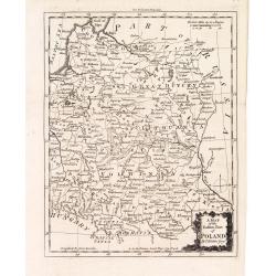
A map of the eastern map of Poland. . .
Drawn by Thomas Kitchin and published in the London Magazine. Cities, towns and geographical features are all shown. Department boundaries within Poland are marked with d...
Place & Date: London, 1739
Selling price: $190
Sold in 2012
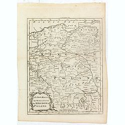
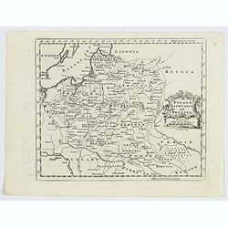
A new map of the western part of the Kingdom of Poland.
Drawn by Thomas Kitchin and published in the London Magazine. Cities, towns and geographical features are all shown. Department boundaries within Poland are marked with d...
Place & Date: London, 1739
Selling price: $100
Sold in 2016
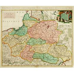
Estats de Pologne subdivises suivants les..
Decorative and detailed map of Poland, with tip of the Black Sea lower right. Prepared by Sanson, but published in Amsterdam by Petrus Schenk.
Place & Date: Amsterdam 1740
Selling price: $450
Sold
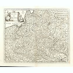
Regno di Polonia.
Detailled map of Poland, Lithuania and the Ukraine. At that time Poland covered the whole of eastern Europe from the Baltic to the Black Sea. There is very good detail th...
Place & Date: Venice, 1740
Selling price: $400
Sold in 2015
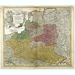
Regni Poloniae Magnique Ducatus Lithuaniae Nova et exacta tabula ad memtem Starovolcy descripta.
Fine map of Poland and Lithuania, with decorative title cartouche. Johann Baptist Homann born in Kammlach (1663). He was engraver, map-seller and geographer to the Kaiser...
Place & Date: Nuremberg, 1740
Selling price: $550
Sold in 2016
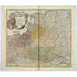
Regni Poloniae magnique ducatus Lithuaniae. . .
A fine map of Poland, Lithuania, Latvia, Estonia, and the western part of Russia, with decorative title cartouche.Johann Baptist Homann was born in Kammlach (1663). He wa...
Place & Date: Nurenberg, 1740
Selling price: $250
Sold in 2017
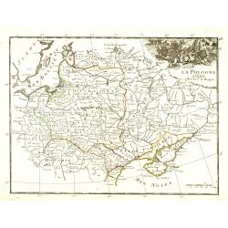
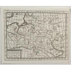
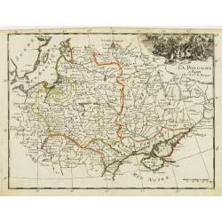
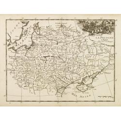
La Pologne.
Fine map of Poland with a battle scene cartouche upper right. From : "Théâtre Général de la Guerre en Europe".G.-L. Le Rouge, who was lieutenant in the regi...
Place & Date: Paris, 1743
Selling price: $100
Sold in 2010
La Pologne dressee sur ce qu'en ont donne Starovolst, Beauplan, Hartnoch..
Large map of Poland, Lithuania, Belarus and part of Ukraine. The map is filled with detail and decorated with a title cartouche flanked by mythological figures. Latin tit...
Place & Date: Amsterdam c. 1744
Selling price: $265
Sold
[ Lot of 6 maps ] Plans of Poland.
Total: Lot of 6 maps / plans of Poland]- Nieuwe Kaart vant KONINKRYK POOLEN, verdeet in zyn byzondere Waywoodschapen na de Nieuwste stellung int ligt gebragt te Amsterda...
Place & Date: Amsterdam, c. 1744
Selling price: $180
Sold in 2024
Le Royaume de Pologne, Le Grand Duché de Lithuanie suivant les nouvelles Observations.
Rare map of Poland. Le Rouge, who was lieutenant in the regiment of Saxe before establishing himself as publisher, compiler and editor of maps at the rue des Grands Augus...
Place & Date: Paris, 1745
Selling price: $500
Sold in 2010
Estats de la Couronne de Pologne.
An interesting small map of the Poland by Nicolas de Fer. From Jacques Robbe’s "Methode pour Apprendre Facilement la Geographie". The map has a scale to 20 ho...
Place & Date: Paris,1746
Selling price: $235
Sold in 2011
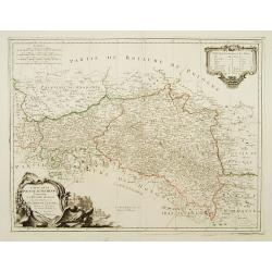
[2 maps] Novissimum Silesiae Theatrum id est Exactissimus Superioris et Inferioris Silesiae.. (2 maps)
Impressive, highly detailed map of Silesia adorned with 2 large superb cartouches on 2 opposite corners of the map. The title cartouche is decorated with little angels an...
Place & Date: Amsterdam, c. 1748
Selling price: $1500
Sold in 2008
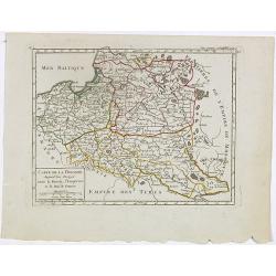
Carte de la Pologne. Aujourd'hui Partagée entre la Russie, l'Empereur et le Roi de Prusse.
Small detailed map showing Poland, Lithuania, the Kaliningrad Oblast, Belarus and part of Ukraine.From Atlas Portatif Universel, by Robert de Vaugondy. Page 35 and Tom. P...
Place & Date: Paris, later than 1748
Selling price: $85
Sold in 2020
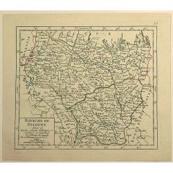
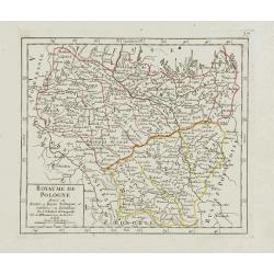
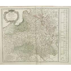
Royaume de Pologne Divisee en Haute et Basse Pologne ...
Fine example of De Vaugondy's map of the Kindgom of Poland, from his “Atlas Portatif. . . ,” first published in Paris in 1748.Gilles Robert de Vaugondy (1688–1766),...
Place & Date: Paris, 1748
Selling price: $16
Sold in 2019
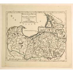
Royaume de Prusse et Prusse Rle. ou Ponolaise.
This is a pleasing map of Prussia by Robert de Vaugondy. It covers the northeastern part of Poland and extends from Grodno and the Spirding-See in Poland north to Klaiped...
Place & Date: Paris, 1748
Selling price: $21
Sold in 2019
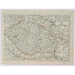
Royaume de Boheme, Marqui de Moravie et Silesie Autrichienne.
A fine 1748 map of Bohemia, Moravia and Silesia by Robert de Vaugondy. It covers modern day Czech Republic as well as parts of Germany and Poland. It extends from Leipzig...
Place & Date: Paris, 1748
Selling price: $24
Sold in 2019
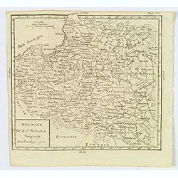
Royaume de Pologne divisé en Haute et Basse Pologne..
Small detailed map showing the southern part of Poland. From Atlas Portatif Universel, by Robert de Vaugondy.Unrecorded state with erased date. Page 37 outside border top...
Place & Date: Paris, later than 1749
Selling price: $90
Sold in 2017
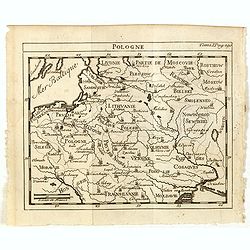
Pologne.
A compact small map of Poland, including Lithuania and Belarus, as they appeared in 1750. Dense detail provided, with topography, place names, rivers and lakes. A nice sm...
Place & Date: Paris, 1750
Selling price: $50
Sold in 2019
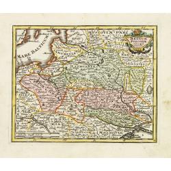
Poloniae Regnum ut et Magni Ducatus Lithuaniae . . .
Detailed map of Poland and the Baltic regions, extending in the south to Ukraine and northern Hungary.Matthaus Seutter the elder first published his "Atlas Geographi...
Place & Date: Augsburg, 1740-1750
Selling price: $95
Sold in 2020
Partie Septentrionale du Cercle de Haute Saxe qui contient le Duche de Pomeranie et le Marquisat de Brandebourg...
A stunning map of the northern portion of Upper Saxony, in what is now northeast Germany and Northwest Poland. It includes the Duchy of Pomerania and Brandenburg, and ext...
Place & Date: Paris, 1751
Selling price: $26
Sold in 2018
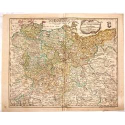
Partie septentrionale du cercle de Haute Saxe [...] Brandebourg.
Finely and crisply engraved map of north eastern part of Germany, including part of Poland. With inset map of Brandenburg. Map by Robert De Vaugondy with an ornamental ti...
Place & Date: Paris, ca 1751
Selling price: $45
Sold in 2020
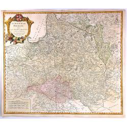
Le Royaume de Pologne..
Detailed map of Poland, including Lithuania, Ukraine, East Prussia, etc.
Place & Date: Paris 1752
Selling price: $350
Sold
Le Royaume de Pologne,
Detailed map of Poland. The map is filled with towns and topographic details like the river systems. An exquisite cartouche surrounds the title at the top.
Place & Date: Paris, 1752
Selling price: $180
Sold in 2008
Pologne.
Scarce small map of Poland based on cartography of Guillaume Delisle (. Published in "Nouveau traité de geographie par M**** ", published by La veuve Lottin &a...
Place & Date: Paris, 1752
Selling price: $125
Sold in 2015
Le Royaume de Pologne, divise en ses duches et Provinces, et subdivise en Palatinats
A fine map of the Kingdom of Poland by Vaugondy. It features Poland, Lithuania and parts of the Russian Empire, Transylvania and Latvia. The map details both topographica...
Place & Date: Paris, 1752
Selling price: $250
Sold in 2016
Tabula Geographica Circ. Saconiae Superioris et Inferioris.
Fine map featuring Poland and Saxony Germany. From the atlas "Atlas Geographicus Omnes Orbis Terrarum Regiones in XLI Tabulis".CARTOGRAPHER: Leonhard Euler (170...
Place & Date: Berlin, 1753
Selling price: $249
Sold in 2015
La Pologne.
An unusual 1752 Buffier copper engraved map of Poland. The map also covers Lithuania, part of Russia, Hungary, a portion of Ukraine, as well as a part of Romania. A decor...
Place & Date: Paris, 1753
Selling price: $12
Sold in 2021
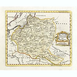
Poland Lithuania and Prussia.
Nice example of Bowen's map of Poland and Lithuania.
Place & Date: London, 1752-1754
Selling price: $100
Sold in 2015
La Pologne.
Fine map of Poland. George Louis Le Rouge was active from 1740- till 1780 as a publisher, and was appointed engineer for the King of France. From his Atlas Nouveau Portat...
Place & Date: Paris 1756
Selling price: $120
Sold
La Pologne.
Fine map of Poland. George Louis Le Rouge was active from 1740- till 1780 as a publisher, and was appointed engineer for the King of France.From his Atlas Nouveau Portati...
Place & Date: Paris, 1756
Selling price: $120
Sold in 2008
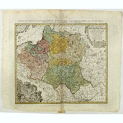
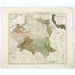
Mappa Geographica Regni Poloniae ex novissimis quotquot sunt mappis specialibus composita et al L.L. Stereographicae projectionis revocata a Tob. Mayero. . . .
Decorative map of Poland after Tobias Mayer who was based on Barnikel's map of Curland (1747) and Jan Nieprzecki's map of Lithuania (1749).Poland extends from Glogau and ...
Place & Date: Nuremberg, 1757
Selling price: $500
Sold in 2020
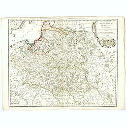
Les Royaumes De Pologne Et De Prusse Par Tobias Mayer . . . Chez Daumont . . . 1757
Rare map of Poland, Prussia, Russia and surrounding regions, based upon the map of Tobias Mayer.Published by Jean-Francois Daumont, who was active in Paris between approx...
Place & Date: Paris, 1757
Selling price: $1500
Sold
[detail from] Nova illustrissimi principatus Pomeraniae descrptio.. .
"only a small number of copies were printed and so this edition is a very rare object today" (Scharfe).
Place & Date: Amsterdam, 1618-1757
Selling price: $200
Sold in 2018
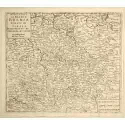
Nuova Carta del Regno di Boemia, Ducato di Slesia, Marchesato di Moravia e Lusazia.
Detailed map of the Southern part of Poland, Moravia and Bohemia, pubished in Italian edition of Thomas Salmon's "Modern History", published in Naples by Franc...
Place & Date: Venice, 1758
Selling price: $17
Sold in 2021
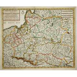
Nieuwe kaart van 't Koningkrijk Poolen.
Nice copper engraved map of the Kingdom of Poland excellently details topography, cities and villages. It is embellished with a simple compass rose. Engraved by J. Keyser...
Place & Date: Amsterdam, 1759
Selling price: $110
Sold
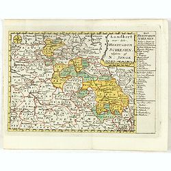
Landkort over det Hertugdom Schlesien udgiven af N : Jonge.
This scarce map of Silesia was published in a Danish atlas "Fra Holbergs Geographie" by Nikolay (Nicolai) Jonge (1727 – 1789) in Copenhagen in 1759.Including ...
Place & Date: Copenhagen, 1759
Selling price: $550
Sold in 2016
Carte Générale de la Pologne.
Detailed map of Poland, prepared by Rizzi Zanoni from his "Atlas moderne ou collection de cartes...", map N° 19.
Place & Date: Paris, 1762
Selling price: $170
Sold in 2023
Poland Lithuania and Prussia.
A delightful, detailed map of the Poland and Lithuania, showing numerous geo-political subdivsions, including Courland, Samgotia, Warsovia, Great Poland, Polesi, Volhinia...
Place & Date: London, 1762
Selling price: $40
Sold in 2019
Poland.
Uncommon miniature map of Poland, engraved by Thomas Kitching for "A New General and Universal Atlas Containing Forty five Maps by Andrew Dury".This miniature a...
Place & Date: London, 1761-1763
Selling price: $75
Sold in 2020
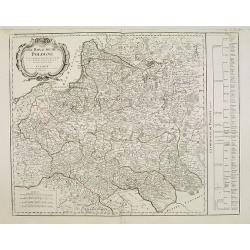
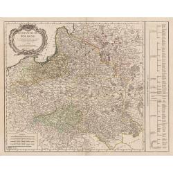
Le Royaume de Pologne. . .
Detailed map of Poland, including Lithuania, Ukraine, East Prussia, etc. Decorative title cartouche at top left corner. Explication table along right lateral side of the ...
Place & Date: Paris, Delamarche, 1767
Selling price: $350
Sold in 2015
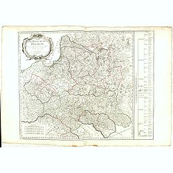
Le Royaume de Pologne. . .
Detailed map of Poland, including Lithuania, Ukraine, East Prussia, etc. Decorative title cartouche at the top left corner. Explication table along the right lateral side...
Place & Date: Paris, 1767
Selling price: $170
Sold in 2013
Regnum Poloniae ejusque confinis.
Uncommon map of Poland. From Atlas Portatif.
Place & Date: Nuremberg, ca. 1770
Selling price: $160
Sold in 2012
Mappa geographiaca .. regnum Poloniae et .. Lithuaniae ..
Uncommon map of Poland. T.C. Lotter married M. Seutter's daughter in 1740 and succeeded him in 1756. Lotter used the copperplate of Seutter, he only changed the name.
Place & Date: Augsbourg, 1772
Selling price: $455
Sold
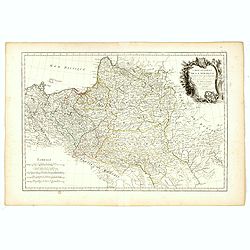
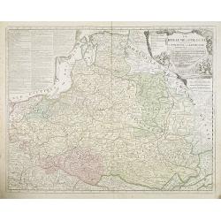
Le ROYAUME de POLOGNE Comprenant les Etats de Pologne et de Lithuanie, divisez en Province et Subdivisez en Palatinats. . .
Extends from about Vienna in the west to east of the Crimea and north to include the present day Baltic States. It includes all of the present day Ukraine.The map was fir...
Place & Date: Paris, ca. 1742 - 1772
Selling price: $650
Sold in 2009
Le ROYAUME de POLOGNE Comprenant les Etats de Pologne et de Lithuanie, divisez en Province et Subdivisez en Palatinats. . .
Extends from about Vienna in the west to east of the Crimea and north to include the present day Baltic States. It includes all of the present day Ukraine. The map was fi...
Place & Date: Paris, ca. 1742 - 1772
Selling price: $810
Sold in 2017
The Troelfth Cake. - Le Gateau Des Rois ...
A dramatic cartographic curiosity illustrating the division of northern Europe effected by the first partition of Poland, in which the map, shown on a large canvas is tor...
Place & Date: London, 1772
Selling price: $1000
Sold in 2014
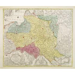
Mappa geographiaca ex novisimis observationibus repraesentans regnum Poloniae et Magnum Lithuaniae . . .
Uncommon map of Poland. Tobias Conrad Lotter married Matthias Seutter's daughter in 1740 and succeeded him in 1756. Lotter used the copperplate of Seutter, he only change...
Place & Date: Augsburg, 1772
Selling price: $750
Sold in 2015
Mappa Geographica ex novissimis observationibus repraesentans Regnum Poloniae Et Magnum Ducatum Lithuaniae.
Uncommon map of Poland, Latvia, Lithuania, Estonia and Belarus. Below coats of arms of Stanislaw August Poniatowski (1732-1798) the last King and Grand Duke of the Polish...
Place & Date: Augsburg, ca. 1772
Selling price: $600
Sold in 2015
Carte nouvelle du Royaume de Pologne . . .
Uncommon map of the Poland kingdom by Matthieu Albert Lotter (1741-1810), who worked with his father Tobias Conrad and succeeded to his business. Lotter Jr. Gives credit ...
Place & Date: Augsburg, 1772
Selling price: $1760
Sold in 2019
Mappa Geographica Regni Poloniae ex novissimis quot quot sunt mappis. . .
A map of Poland, Lithuania and Belarus, first published in 1750 by Homann Heirs, and now re-issued in 1773. Coastline includes all between Riga and Gdansk. Map is based o...
Place & Date: Nuremberg, 1773
Selling price: $92
Sold in 2018
Carte de la Pologne Autrichienne Contenant La Russie Rouge et la partie méridionale du Palatinat de Cracovie..
Detailed map of Poland, showing the area east of Krakow until Ukraine.Santini gives credit to Homann Heirs in the cartouche.
Place & Date: Venise 1776
Selling price: $200
Sold
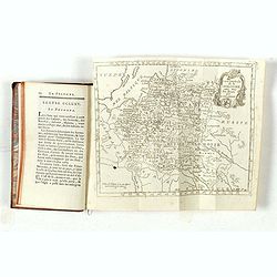
Le Voyageur François, ou la Connoissance de l'Ancien et du Nouveau Monde. Tome XXII.
With folding map of Poland (180 x 220mm.)
Place & Date: Paris, L.Cellot, 1779
Selling price: $45
Sold in 2019
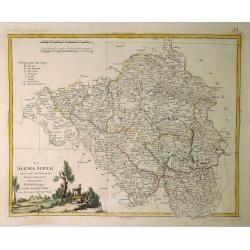
La Slesia Super Divisa ne Suoi Principati di Nuova Projezione.
A striking map of Upper Silesia divided into its principalities. This is now South-Eastern Poland. Features pleasing topographical title cartouche. Antonio Zatta (1757–...
Place & Date: Venice, 1779
Selling price: $132
Sold in 2019
(Map of Poland and Prussia.)
Map centered on the Baltic depicting Prussia and North Poland.
Place & Date: Paris c.1780
Selling price: $52
Sold
Poland Corrected & Improve'd from the best authorities..
Uncommon map of Poland, prepared by John Barber, and engraved for and published in William Guthrie's new Geographical Grammer.With typical 18th century title cartouche lo...
Place & Date: London 1780
Selling price: $210
Sold
Carte des Provinces Annexees a la Petite Pologne et de la Gallicie avec la Lodomerie Demembrees de la Pologne.
An interesting regional map of Poland and Lithuania, extending from the Karpathian Mountains and Bessarabia to Kiev on the Dniepr, Brescz on the Bug and centered on the p...
Place & Date: Paris, 1780
Selling price: $135
Sold in 2018
Polonia Secondo le Osservazioni dell' Accademia di Parigi.
Rare map of Poland, from "Atlante Novissimo ad uso Dei Giovani Studiosi Contenuto In Carte XXVII.", published by Giovanni Zempel in Rome, ca. 1780.The map is ba...
Place & Date: Rome, 1780
Selling price: $200
Sold in 2019
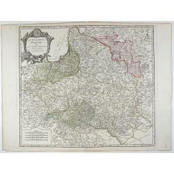
Le Royaume de Pologne, divise en ses duches et Provinces, et subdivise en Palatinats.
This is a fine map of the Kingdom of Poland by Robert de Vaugondy. It depicts the different Palantinates or administrative division of Poland and Lithuania as well as par...
Place & Date: Paris, 1780
Selling price: $500
Sold in 2019
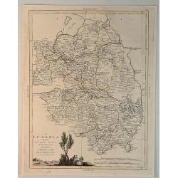
La Lusanzia Divisa Nesuoi Stati di Nouva Projezione.
A fine detailed map of Lustia, Poland and Germany by Zatta in 1790. It features a pleasing hand-colored cartouche.Antonio Zatta (1775-1797) was the most prominent Italian...
Place & Date: Venice, 1780
Selling price: $140
Sold in 2020
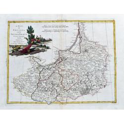
Il Regno die Pussia con la Prussia Polacca...
Italian copper engraved map of parts of Poland including Danzig (Gdansk), the Russian enclave of Kaliningrad, the Baltic Sea with the Lithuanian coasts. With many place n...
Place & Date: Venice, 1781
Selling price: $67
Sold in 2020
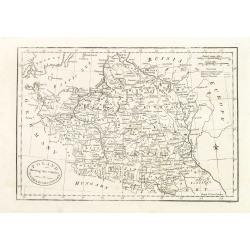
Poland, Shewing the Claims of Austria, Russia & Prussia.
Uncommon map of Poland and Lithuania engraved by J. Cary. Originally published by J.Fielding. Here from the "Complete Geographical Dictionary" by John Seally. T...
Place & Date: London, after 1782
Selling price: $150
Sold in 2015
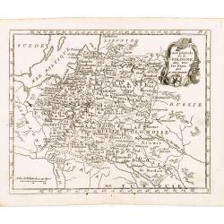
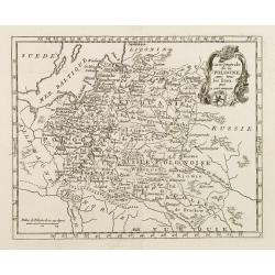
Poland Lithuania and Prussia.
Uncommon miniature map of Poland, Lithuania and the Ukraine, engraved by Thomas Kitchin - with his signature in lower right bottom.
Place & Date: London, 1782
Selling price: $200
Sold in 2014
Etats de la Couronne de Pologne ousont les Roy de Pologne, le Gd. Duc de Lithuanie, La Russie noire, La Volhinie?
Rare map of Poland prepared by J.B.Nolin and published by Monhare for his Atlas Général a l'usage des colleges et maisons d'education.. Louis Joseph Mondhare published ...
Place & Date: Paris, 1783
Selling price: $200
Sold
Carte Generale de la Pologne avec tous les Etats qui en dependent..
Attractive map of Poland, ornated with a rococo title cartouche. Boundaries outlined in hand color.Prepared by Giovanni Antonio Bartolomeo Rizzi Zannoni, one of the leadi...
Place & Date: Paris ca 1783
Selling price: $170
Sold
Etats de la couronne de Pologne . . .
Scarce map of Poland prepared by Nolin and published by L.J. Mondhare for his Atlas Général a l'usage des colleges et maisons d'education.. Louis Joseph Mondhare was ac...
Place & Date: Paris, 1783
Selling price: $260
Sold in 2013
Carte Generale de la Pologne avec tous les Etats qui en dependent..
Attractive map of Poland, ornated with a rococo title cartouche. Boundaries outlined in hand color.Prepared by Giovanni Antonio Bartolomeo Rizzi Zannoni, one of the leadi...
Place & Date: Paris ca 1783
Selling price: $300
Sold in 2014
Carte generale de la Pologne . . .
Attractive map of Poland, ornated with a decorative title cartouche. Boundaries outlined in hand color.Prepared by Le Sieur Janvier, Jean Denis [Robert], French geographe...
Place & Date: Paris, ca 1783
Selling price: $80
Sold in 2018
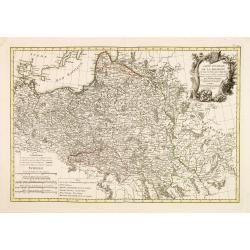
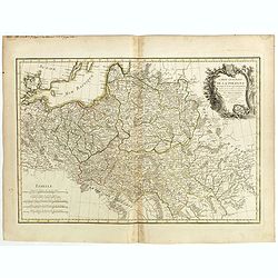
No title [Map of part of Germany and Poland].
Prepared by Giovanni Antonio Bartolomeo Rizzi Zannoni, one of the leading cartographers of the late 18th century, as well as being an astronomer, surveyor and mathematici...
Place & Date: Paris, Lattré, 1783
Selling price: $50
Sold in 2019
Royaume de Pologne.
Detailed map encompassing present-day Poland .Venetian edition of the map by Bellin, to whom Santini gives credit in the cartouche.From "Atlas Universel" publis...
Place & Date: Venice, 1776 - 1784
Selling price: $425
Sold in 2009
Royaume de Pologne.
Detailed map encompassing present-day Poland. The table provides a breakdown of the sub-regions of the Polish Crown.Venetian edition of the map by R. de Vaugondy, to whom...
Place & Date: Venice, 1776 - 1784
Selling price: $325
Sold in 2016
Carte Générale de la Pologne. . .
Map of Poland, from Atlas moderne portatif composé de vingt-huit cartes sur toutes les parties du globe terrestre .. A l'usage des Colléges, des Pensions & des Mais...
Place & Date: Paris, 1785
Selling price: $100
Sold in 2013
Carte de la Pologne avec tous les Etats, qui y son annexés.
Finely engraved small map of Poland. From Atlas Moderne ou Collection de Cartes sur Toutes les Parties du Globe Terrestre.
Place & Date: Paris, 1786
Selling price: $80
Sold in 2008
Magna mappa geographica Borrussiae Regnum exacte ehibens. . .
A scarce separately published wall map in 4 sheets of Prussia. Including the towns of Gdansk, Kaliningrad, Klaipeda, etc. Prepared by Gerhard and engraved by von Sauerbre...
Place & Date: Berlin, c. 1772 - 1786
Selling price: $2600
Sold in 2011
Carte générale de la Pologne Avec tous les Etats qui y sont annexés.
Uncommon and detailed map of Poland prepared by C.Bertholon. Lithuania is shown and divided into Palatines. Plate No. 9 in: "Bibliotheque universelle des dames"...
Place & Date: 1786
Selling price: $100
Sold in 2013
Poland shewing the Claims of Austria, Russia & Prussia.
A plain and simple map of Poland highlighting the claims of Austria, Russia & Prussia. Various portions of Poland were carried out by Austria, Russia and Prussia in 1...
Place & Date: London, ca 1787
Selling price: $50
Sold in 2019
Etats de Pologne et de Lithuanie..
Handsome map of Poland and Lithuania with decorative title cartouche.The map is flanked by two columns of French text containing geographical information about the area. ...
Place & Date: Paris, 1790
Selling price: $60
Sold
Carte des marches du quartier générale de l'Armée Rusienne fait sous le Commandement de S.E. Le Feld Marechal Comte de Butturlin. . .
Manuscript map of Poland showing the campaign of Marshal Butterlin in 1761 at the conclusion of the "Seven-year's War" (1756 - 1763). To the right an almost dai...
Place & Date: France, c.1761-1790
Selling price: $900
Sold in 2014
![[ Lot of 6 maps ] Plans of Poland.](/uploads/cache/IMG_2299-250x250.jpg)
![[2 maps] Novissimum Silesiae Theatrum id est Exactissimus Superioris et Inferioris Silesiae.. (2 maps)](/uploads/cache/21439-250x250.jpg)
![Partie septentrionale du cercle de Haute Saxe [...] Brandebourg.](/uploads/cache/44152-250x250.jpg)
![[detail from] Nova illustrissimi principatus Pomeraniae descrptio.. .](/uploads/cache/41152-250x250.jpg)

![No title [Map of part of Germany and Poland].](/uploads/cache/43022-250x250.jpg)
