Browse Listings in Antique Maps > Europe > Poland > General
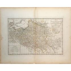
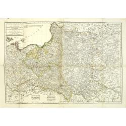
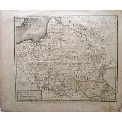
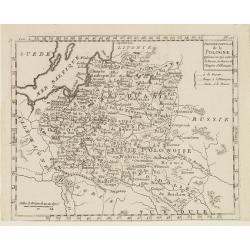
[No tittle - With Russian text] Poland and the Baltic Sea.
Detailed map of Poland after Rizzi-Zanoni's map of 1783 here in Russian. The map was prepared by the Italian astronomer, geographer and cartographer Giovanni Antonio Rizz...
Place & Date: mperial Academy of St. Petersburg, ca. 1790
Selling price: $875
Sold in 2012
Der Koniglichen Republik Polen Woiwodschaft Podlachien...
Pleasing map of the Royal Republic of Poland by Franz von Reilly in 1791. It features a decorative title cartouche with busts and a wolf. Franz von Reilly (1766 - 1820) ...
Place & Date: Vienna, 1791
Selling price: $51
Sold in 2018
Poland.
Uncommon miniature map from Gibson's "Atlas Minimus, or a New Set of Pocket Maps of the several Empires, Kingdoms and States of the known World".
Place & Date: London, 1792
Selling price: $55
Sold in 2011
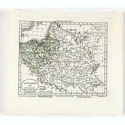
La Pologne Divisee en Royaume de Pologne et les etats y partenans La Pologne Prussienne Autrichienne & Russienne.
A rare map of Poland, Lithuania, Latvia, Belarus and Ukraine, with large portions now controlled by Russia, Prussia and Austria, published by Jan Elwe in Amsterdam. The m...
Place & Date: Amsterdam, 1792
Selling price: $1200
Sold in 2018
The Kingdom of Prussia...
Large and very detailed map showing parts of today Poland, Kaliningrad Oblast, and Lithuania. Detailed map, includes the cities of Gdansk, Konigsberg (Kaliningrad), Memel...
Place & Date: London, 1794
Selling price: $75
Sold in 2012
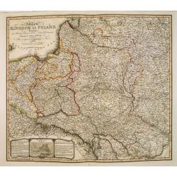
A New Map of the Kingdom of Poland with all its Divisions and The Dismember'd Provinces by Samuel Dunn, Mathematician
A finely detailed map of the "Kingdom of Poland" by created by Samuel Dunn and published by the Laurie and Whittle firm of London. The map includes the regions ...
Place & Date: London, 1794
Selling price: $210
Sold in 2010
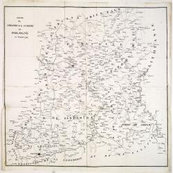
Partie du Théatre de la guerre en Pologne de l'année 1794.
Rare copper engraved map of Poland during the Greater Poland Uprising of 1794. The map is very detailed and also includes battle fields.
Place & Date: Paris, after 1794
Selling price: $150
Sold in 2014
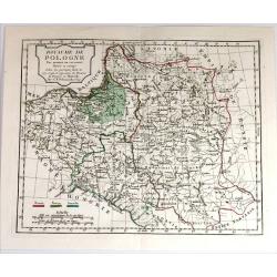
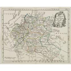
Royaume de Pologne. Par Robert de Vaugondy
Map of Poland and Lithuania by C. F. Delamarche, successor of Robert de Vaugondy, Geographer. With a color key to Russian, Prussian and Austrian possessions.C.F. Delamarc...
Place & Date: Paris, 1794
Selling price: $100
Sold in 2015
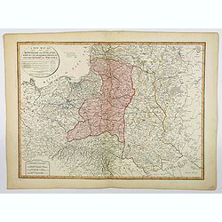
A New Map of the Kingdom of Poland, with its Dismembered Provinces and the Kingdom of Prussia.
This important 1794 map by Thomas Kitchin shows the Kingdom of Poland during the very brief transitional period between the second and third partitions. Map extent is fro...
Place & Date: London, 1794
Selling price: $100
Sold in 2019
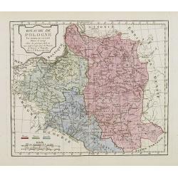
Carte de l'ancien royaume de Pologne partage entre la russie la prusse et l'Autriche. . .
Detailed map of Poland prepared by Pierre-Gilles Chanlaire (1758-1817). According to the tile the map is showing the old Kingdom of Poland, divided between the Russian, P...
Place & Date: Paris, 1795
Selling price: $190
Sold in 2011
Carte de l'ancien royaume de Pologne partage entre la russie la prusse et l'Autriche. . .
Detailed map of Poland prepared by Pierre-Gilles Chanlaire (1758-1817). According to the tile the map is showing the old Kingdom of Poland, divided between the Russian, P...
Place & Date: Paris, 1795
Selling price: $31
Sold in 2012
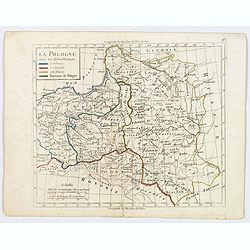
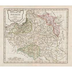
La Pologne avec ses demenbremens.
An interesting map of Poland with her borders at 1795, with original color showing the Prussian, Austrian and Russian parts. Mileage scales and explanation box. Map from ...
Place & Date: Paris, 1795
Selling price: $50
Sold in 2020
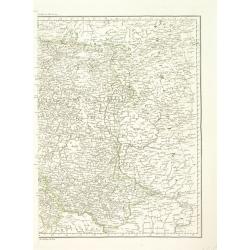
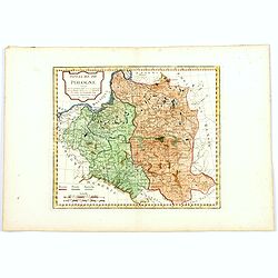
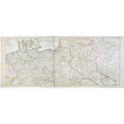
Carte de l'ancien royaume de Pologne partage entre la Russie la Prusse et l'Autriche. . . [two sheet map]
Detailed map of Poland prepared by Pierre-Gilles Chanlaire (1758-1817). According to the tile the map is showing the old Kingdom of Poland, divided between the Russian, P...
Place & Date: Paris, 1795
Selling price: $156
Sold in 2022
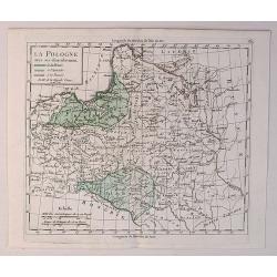
La Pologne avec ses Demenbremens.
A fine map of Poland and Lithuania by Delamarche in 1795. He has the Baltic Sea to the north and Hungary to the south.Charles Francois Delamarche (1740-1817) founded the ...
Place & Date: Paris, 1795
Selling price: $22
Sold in 2020
Poland, showing the claims of Russia, Prussia & Austria, until the late Depredations.
First Map of Poland made in America. Mathew Carey, an Irish immigrant, stands at the forefront of American cartography, for he established the first American specialized ...
Place & Date: Philadelphia, 1796
Selling price: $120
Sold in 2010
Royaume de Pologne.
Map of Poland.
Place & Date: Paris, 1796
Selling price: $75
Sold in 2011
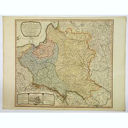
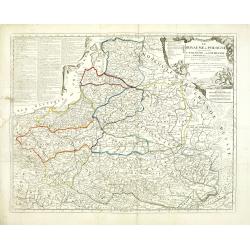
A Map of The Kingdom of Poland and Grand Dutchy of Lithuania including Samogitia and Curland, divided into their Dismemberments. . .
A scarce, second edition map of Poland by William Faden published in London in 1799. The map itself is based on the Rizzi-Zannoni 24-sheet map of 1772, that was commissio...
Place & Date: London, 1799
Selling price: $190
Sold in 2019
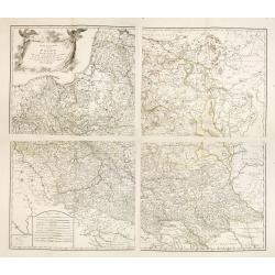
Generalkarte von Polen, Litauen, und den angraenzenden Laendern. . . (4 sheet map)
Large four sheet map of Poland, Lithuania, Vojvodina. Pages 85, 86, 87 and 88 from "Allgemeiner Grosser Schrämblischer Atlas" published by P. J. Schalbacher - ...
Place & Date: Vienna, 1788-1800
Selling price: $800
Sold in 2013
Carte de la Lithuanie, de la Courlande et de la Nouvelle Russie Blanche démembrée de la Pologne. / Carte des Province annexées a la Petite Pologne et de la Gallicie avec la Lodomerie démembrées de la Pologne.
Louis Brion de la Tour (1756-1823), French geographer. '' Atlas Géneral, Civil et Ecclésiastique'', 1766, '' Atlas Général'', 1790-98.Little map of Lithuania and Ukra...
Place & Date: Paris, 1802
Selling price: $210
Sold in 2010
Poland.
An interesting map of Poland, Latvia and Lithuania, showing the various regions and cities. A distance scale in Polish Miles. Shaded lines show the areas moved to Russia ...
Place & Date: London, ca 1802
Selling price: $49
Sold in 2019
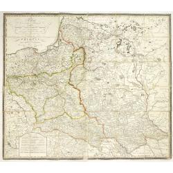
[No tittle] Ancienne N°3 Pologne. . .
The most eastern section of a larger post road maps maps of Prussia and Poland prepared by David Gilly. (Section DIII). The map show the cities of Bialla, Warka, Warschau...
Place & Date: Berlin, Simon Schropp u. Comp., 1803
Selling price: $120
Sold in 2011
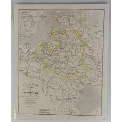
Pologne avec les Partages de 1792, 1793 et 1795 . . .
A striking map of Poland, Lithuania and Prussia with notes on the region. The notes within the map show the acquisitions of Russia in Poland in 1773 and 1795, totaling 14...
Place & Date: Paris, 1803
Selling price: $59
Sold in 2019
Poland from the best authorities.
Detailed map of Poland from "A New Geographical, Historical, and Commercial Grammar", by William Guthrie. William Guthrie (later engraver for Carey) London, UK....
Place & Date: London, 1805
Selling price: $100
Sold in 2015
Royaume de Pologne.
Map of Poland and Lithuania. By C. F. Delamarche, successor of Robert de Vaugondy, Geographer.With a color key to Russian, Prussian and Austrian possessions.
Place & Date: Paris, 1794 - 1806
Selling price: $80
Sold in 2008
Carte Générale de la Pologne . . .
Map of Poland, from Atlas moderne portatif composé de vingt-huit cartes sur toutes les parties du globe terrestre .. A l'usage des Colléges, des Pensions & des Mais...
Place & Date: Paris, Prudhomme, Levrault, Debray, 1806
Selling price: $80
Sold in 2016
La Pologne Dressée sur ce qu'en ot donné Starovolsk, Beauplan, Hartnoch. . .
This is a late edition of the De L'Isle copper plate with a date of 1806. The copper plate was used many times and has several erased addresses.Large map of Poland, Lithu...
Place & Date: Paris, 1806
Selling price: $200
Sold in 2010
Le ROYAUME de POLOGNE Comprenant les Etats de Pologne et de Lithuanie, divisez en Province et Subdivisez en Palatinats. . .
Extends from about Vienna in the west to east of the Crimea and north to include the present day Baltic States. It includes all of the present day Ukraine. The map was fi...
Place & Date: Paris, ca. 1742 - 1806
Selling price: $814
Sold in 2012
Dernier Partage de la Pologne Effectué en 1795, entre la Russie, la Prusse et l'Empire d'Allemagne.
Map of Poland, from Atlas de la Géographie de toutes les parties du monde .. Ouvrage destiné pour l'education, et nécessaire aux négocians, aux voyageurs, aux fonctio...
Place & Date: Paris, Prudhomme, Levrault, Debray, 1806
Selling price: $50
Sold in 2014
Royaume de Pologne.
Map of Poland and Lithuania. By C. F. Delamarche, successor of Robert de Vaugondy, Geographer.With a color key to Russian, Prussian and Austrian possessions.
Place & Date: Paris, 1794 - 1806
Selling price: $90
Sold in 2016
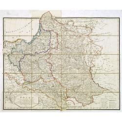
Polen in die dermaligen Besitzungen eingetheilt Nach der vortreflichen Karte von Rizzi Zannoni. . . / Carte de la Pologne. . .
A rare wall map-sized map (more than one meter wide) of Poland and Lithuania set in a decorative frame. The authors of maps, contrary to what the title states, are Schrä...
Place & Date: Vienna, before 1807
Selling price: $2200
Sold
Poland, Shewing the Claims of Austria, Russia, Prussia & Austria from the best Authorities.
Uncommon map of Poland and Lithuania from Rev. E Blomfield's Geography. The atlas was published by C. Brightly & E. Kennersly. Engraved by J. Barlow.
Place & Date: Bungay, Suffolk, 1807
Selling price: $210
Sold in 2012
Carte générale du Théâtre de la guerre : comprenant les etats prussiens, la Pologne et tous les pays depuis le Rhin jusqu'en Russie / a Paris 1807 chez Charles Dien, Rue de Jardinet No.13
Scarce map of Poland and eastern Germany. In lower left corner inset map "Carte de la principauté de Neuchatel" (given by Napoleon to Marshal Berthier Louis-Al...
Place & Date: Paris, 1807
Selling price: $1900
Sold in 2014
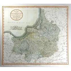
A New Map of the Kingdom of Prussia ...
A fine map by John Cary of Prussia.
Place & Date: London, 1811
Selling price: $160
Sold in 2016
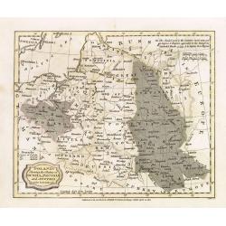
Schauplatz des Kriegs in Polen und Russland darstellend. . . [with 15 maps of Poland]
An extremely scarce atlas which records the Russian campaign of 1812 and the continuation of the French army in Poland in 1813. Starting with a engraved title page in Ger...
Place & Date: Leipzig, 1813
Selling price: $2200
Sold in 2017
A Map of the Kingdom of Poland, Describing its Ancient Limits with the Dismemberments. Likewise its Present Boundary as Settled by Act of Congressat Vienna.. .
A 1815 edition of this finely engraved map of Poland by William Faden (1749-1836), geographer to the King and H.R.H. the Prince of Wales. The map is based on the Rizzi-Za...
Place & Date: London, 1815
Selling price: $400
Sold in 2013
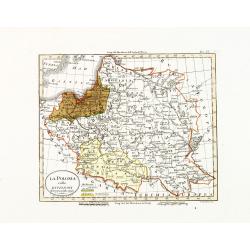
La Polonia colle divisioni del 1772, 1793 e 1795.
A scarce map of Poland and Lithuania. Appears in: Luigi Rossi's "Nuovo atlante di geografia universale". Engraved by Giuseppe Caniani.With color key. In the upp...
Place & Date: Milan, Presso Batelli e Fanfani, 1820 or 1821
Selling price: $80
Sold in 2015
La Polonia colle divisioni del 1772, 1793 e 1795.
Uncommon map of Poland and Lithuania. Appears in: Luigi Rossi's "Nuovo atlante di geografia universale". Engraved by Giuseppe Caniani.With color key. In upper r...
Place & Date: Milan, Presso Batelli e Fanfani, 1820 or 1821
Selling price: $25
Sold in 2020
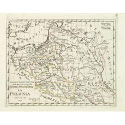
La Polonia comme era nel 1770.
Charming map of Poland during the year 1770 from the rare atlas Atlante Tascabile o sia Serie di Num. XXI Cartine Geografiche nelle quali si rappresenta in ristretto lo S...
Place & Date: Rome, 1823
Selling price: $100
Sold in 2012
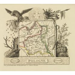
Pologne.
Attractive map of Poland with decorative borders depicting typical artifacts and produce of the continent. Published in Les jeunes voyageurs en Europe.. . Engraved by Van...
Place & Date: Brussels 1824
Selling price: $130
Sold in 2010
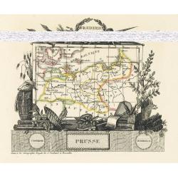
Prusse
Attractive map of Prussia with decorative borders depicting typical artifacts and produce of the continent. Published in Les jeunes voyageurs en Europe.. . Engraved by J....
Place & Date: Brussels, 1824
Selling price: $80
Sold in 2010
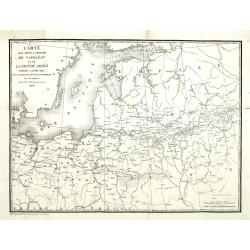
Carte pour servir à l'histoire de Napoléon et de la Grande Armée. . .
Uncommon map of the Baltic sea to Moscow. Map showing the cities of Stockholm, Petersburg, Varsovie, Moscow. Prepared by A.M. Perrot. Engraved by Berthe.The map was made ...
Place & Date: Paris, 1824
Selling price: $85
Sold in 2011
Charte von Polen nach seiner gegenwärtigen Eintheilung in das neue Königreich Polen, die übrigen russischen Besitzungen, das preussische. . . 1831
Rare folding case map of Poland and Lithuania for the year 1831. Very detailed, including a road system and a key in lower right corner. Published in Vienna, by the cousi...
Place & Date: Vienna, 1831
Selling price: $1150
Sold in 2012
Carte des Etats de Pologne et du Grand Duché de Lithunanie.
Uncommon map of Poland prepared by Eustache Hérisson (1759-18.. ) and engraved by Cordier. The map was published by the last family member of the Jean publishing firm of...
Place & Date: Paris, 1831
Selling price: $300
Sold in 2013
Carte des Etats de Pologne et du Grand Duché de Lithunanie.
Uncommon map of Poland prepared by Eustache Hérisson (1759-18.. ) and engraved by Cordier. The map was published by the last family member of the Jean publishing firm of...
Place & Date: Paris, 1831
Selling price: $250
Sold in 2015
Situazione attuale della Polonia 1831.
An unusual map of Poland by the Italian Bernardo Zaydler, published in the work History of Poland in 1831. The map extends from Prussia and Bohemia in the west, across th...
Place & Date: Florence, 1831
Selling price: $340
Sold in 2023
Poland and Lithuania.
Uncommon detailed steel engraved map of Poland and Lithuania. Published in Edinburgh by W. Lizars.
Place & Date: Edinburgh, 1833
Selling price: $180
Sold in 2008
Royaume de Pologne.
Finely engraved map of Poland prepared by A.H.Dufour and engraved by Giraldon-Bovinet. Published by Jules Renouard in his uncommon atlas "Le globe Atlas classique Un...
Place & Date: Paris, Jules Renouard, ca.1840
Selling price: $50
Sold in 2011
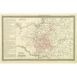
Carte Generale des Etats de la Republique Polonaise.
Original map on steel, engraved by A. Marcinkiewicz after Léonard Chodzko. It shows the expeditions of Varles XII at the beginning of the 18th century.Leonard Chod&#...
Place & Date: Paris, 1840
Selling price: $18
Sold in 2018
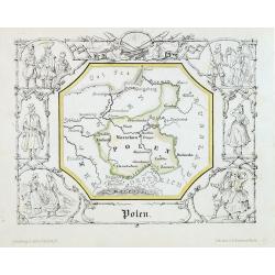
Polen.
Attractive lithograph map of Poland centered of Warschau. The map is surrounded with vignettes, presenting differents polish costumes. From : "Geographische Länder-...
Place & Date: Berlin, 1846
Selling price: $150
Sold in 2013
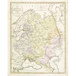
Karta öfver Ryssland.
An very rare map of European part of Russia, including Finland and Poland with Swedish text. This is an updated version of his map of 1821 and is now dated 1833.From his ...
Place & Date: A. Wiborgs förlag, Stockholm, ca. 1848
Selling price: $140
Sold in 2013
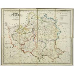
Mapa Polski za panowania Stanislawa Augusta w roku 1772.
Map of the Polish reign of Stanislaw August Poniatowski in 1772. The text is in Polish and the map is showing the cities of Cracovie, Braclaw, Minsk, etc.Published by S. ...
Place & Date: Warsaw, 1849
Selling price: $300
Sold in 2014
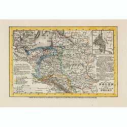
Die Republik Polen (im Jahre 1772) und das Königreich Polen.
Detailed steel engraved miniature map of South Africa, with inset maps of Vilnius and Warschau. The map was prepared and engraved by Lieutenant L. Renner., who was a mili...
Place & Date: Hildburghausen / Amsterdam / Philadelphia, 1853
Selling price: $30
Sold in 2014
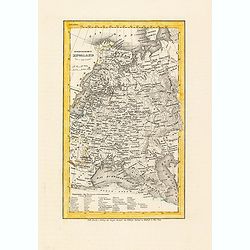
Europaeisches Russland.
Detailed steel engraved miniature map of Russia, prepared by Radefeld. The map was engraved by Lieutenant L. Renner., who was a military officer, recruited by Joseph Meye...
Place & Date: Hildburghausen / Amsterdam / Philadelphia, 1853
Selling price: $30
Sold in 2014
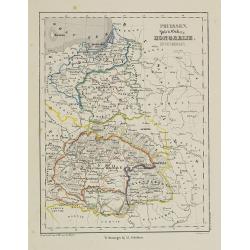
Pruissen, Polen, Galicie, Hongarie, Zevenbergen.
Uncommon map of Prussia, Poland, and Hungary. Lithography by J.H. van Weijer, published in Atlas der geheele Aarde [?] in 24 kaarten.
Place & Date: Groningen, ca. 1860
Selling price: $20
Sold in 2008
Poloniae Regni amplissimi . . .
Map of Poland drawn by E. Kanarek and T. Lipski, showing the forests and hunting grounds of the Republic of Poland. Published for privatye circulation by the Polish State...
Place & Date: Warsaw, 1938
Selling price: $400
Sold in 2019
Polonia
Unique manuscript map of Poland. Award-winning manuscript card, prepared by Antonio Raggio for the 11th Congreso de la Union Postal Universal (World Postal Congress) Expo...
Place & Date: Buenos Aires, 1939
Selling price: $400
Sold in 2020
Reach to the Reich.
Map depicting central Italy, just south of Rome. Design by Robert Macfarlane Chapin Jr.. In lower left hand side : Enlargement of original map drawn for TIME The Weekly N...
Place & Date: New York , Time Magazine, 1944
Selling price: $310
Sold in 2017
Heimat Schlesien.
A large map of Silesia surrounded by 42 coats of arms. Finely illustrated cities and towns. A very decorative item.
Place & Date: Stuttgart, ca 1955
Selling price: $55
Sold in 2020
![[No tittle - With Russian text] Poland and the Baltic Sea.](/uploads/cache/31405-250x250.jpg)
![Carte de l'ancien royaume de Pologne partage entre la Russie la Prusse et l'Autriche. . . [two sheet map]](/uploads/cache/45093-250x250.jpg)
![[No tittle] Ancienne N°3 Pologne. . .](/uploads/cache/30627-250x250.jpg)
![Schauplatz des Kriegs in Polen und Russland darstellend. . . [with 15 maps of Poland]](/uploads/cache/36177-250x250.jpg)
