Browse Listings in Antique Maps > Australia & Oceania
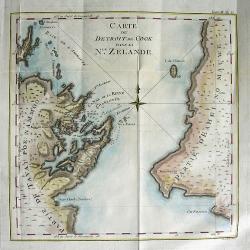
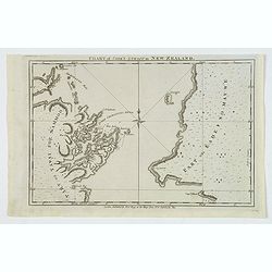
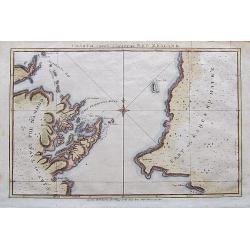
CARTE DU DETROIT DE COOK DANS LA Nle. ZELANDE
Very important map showing Cook\'s Strait, which separates the North and South islands of New Zealand. Present day Wellington, Marlborough Sounds, and Cloudy Bay are depi...
Place & Date: Paris, 1774
Selling price: $280
Sold in 2008
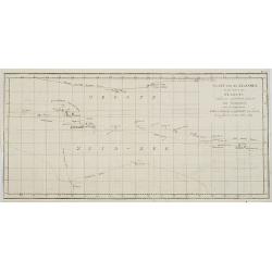
Kaart van de Eilanden in den omtrek ran OTAHITI ontdekt op rerfchillende Reizen om de waereld door de Kapiteinen Byron, Wallis, Carteret et Cook in de jaaren 1765, 1767, 1769. N° V.
Map of French Polynesia with the tracks around the island of Tahiti by Captain Byron, Wallis, Carteret and Cook in 1765, 1767 and 1769. This map is taken from the Dutch ...
Place & Date: Paris, 1774
Selling price: $110
Sold in 2009
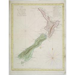
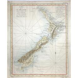
Carte de la Nle. Zelande vifitée en 1769 et 1770 par le Lieutenant J. Cook Commandant de l\'Endeavour. . . . Tome III Pl. 7.
Important map of New Zealand showing track of Cooks\' Endeavour with relief shown by hachures and bathymetric soundings. The map is taken from the first French edition f...
Place & Date: Paris, Saillant et Nyon, 1774
Selling price: $1100
Sold in 2009
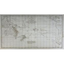
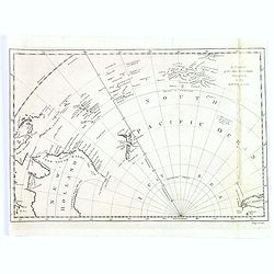
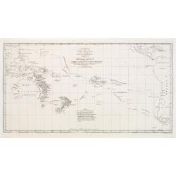
Carte d'une partie de la Mer du Sud ...
From the French edition of James Cook's first voyage entitled Relation des voyages entrepris par ordre de sa Majesté Britannique actuellement régnante pour faire des d�...
Place & Date: Paris, 1774
Selling price: $325
Sold in 2010
Vue de l'intérieur d'une Maison dans l'Isle d'Ulietéa ...
From the French edition of James Cook's first voyage entitled Relation des voyages entrepris par ordre de sa Majesté Britannique actuellement régnante pour faire des d�...
Place & Date: Paris, 1774
Selling price: $35
Sold in 2010
Tome I. Pl. 12 - N.elle Irlande.
From the French edition of James Cook's first voyage entitled Relation des Voyages entrepris par ordre de sa Majesté Britannique, actuellement regnante, pour faire des D...
Place & Date: Paris, 1774
Selling price: $45
Sold in 2012
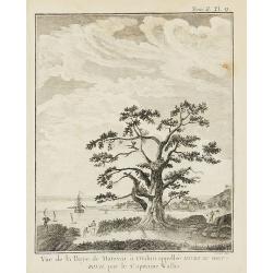
Tome II. Pl. 9 - Vue de la Baye de Matavaï à Otahiti ...
From the French edition of James Cook's first voyage entitled Relation des Voyages entrepris par ordre de sa Majesté Britannique, actuellement regnante, pour faire des D...
Place & Date: Paris, 1774
Selling price: $75
Sold in 2012
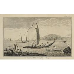
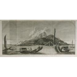
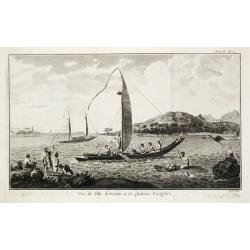
Tome II. Pl. 11 - Vue de l'Isle d'Otahiti et de plusieurs Pirogues.
From the French edition of James Cook's first voyage entitled Relation des Voyages entrepris par ordre de sa Majesté Britannique, actuellement regnante, pour faire des D...
Place & Date: Paris, 1774
Selling price: $80
Sold in 2012
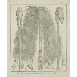
Tome II. Pl. 13 - Emouchoir des Otahitiens avec ses manches.
From the French edition of James Cook's first voyage entitled Relation des Voyages entrepris par ordre de sa Majesté Britannique, actuellement regnante, pour faire des D...
Place & Date: Paris, 1774
Selling price: $35
Sold in 2012
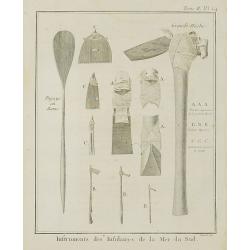
Instruments des Insulaires de la Mer du Sud.
From the French edition of James Cook's first voyage entitled Relation des Voyages entrepris par ordre de sa Majesté Britannique, actuellement regnante, pour faire des D...
Place & Date: Paris, 1774
Selling price: $30
Sold in 2011
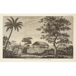
Tome II. Pl. 16 - Manière dont on expose les morts à Otahiti.
From the French edition of James Cook's first voyage entitled Relation des Voyages entrepris par ordre de sa Majesté Britannique, actuellement regnante, pour faire des D...
Place & Date: Paris, 1774
Selling price: $40
Sold in 2012
Carte de la Nle. Zelande vifitée en 1769 et 1770 par le Lieutenant J. Cook Commandant de l\'Endeavour. . . . Tome III Pl. 7.
Important map of New Zealand showing track of Cooks' Endeavour with relief shown by hachures and bathymetric soundings. The map is taken from the first French edition fr...
Place & Date: Paris, Saillant et Nyon, 1774
Selling price: $550
Sold in 2013
A Chart of the New Discover'd Islands, in the South Seas.
A scarce chart of the newly discovered islands located in the south Pacific, in the latter half of the eighteenth century. Map shows the southern most tip of South Americ...
Place & Date: London, ca. 1774
Selling price: $325
Sold in 2017
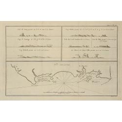
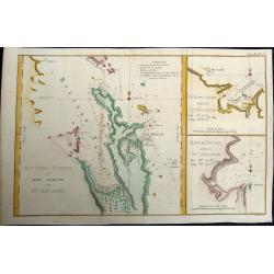
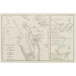
Riviere Tamise et Baye Mercure a la Nle. Zélande.
Baye des Isles dans la Nle. Zelande / Baye de Tolaga dans la Nle. Zelande /Tome III Pl. 9.. A nautical map of the Tamise River and the Mercure and Tolaga Bay in New Zeala...
Place & Date: Paris, 1774
Selling price: $190
Sold in 2019
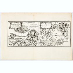
Entree de la Riviere Endeavour dans la Nle. Galles Meridle. . . / Baye de Botanique dans la Nle. Galles Meridionale. . .
Two maps of eastern of Australia, the entrance to the Endeavour River, and a map of Botany Bay, both in New South Wales, from the French edition of Cook, engraved by Robe...
Place & Date: Paris, 1774
Selling price: $175
Sold in 2021
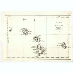
Carte des Isles de la Societe decouvertes par le Lieut. J. Cook 1769.
A nice and detailed map of the Society Islands, based upon the contemporary surveys by Captain James Cook during his first voyage. As can be seen in the tile, this map ap...
Place & Date: Paris, 1774
Selling price: $32
Sold in 2020
Carte de la Nle. Galles Merid.le ou de la Cote Orientale de la Nle. Hollande Découverte et visiteé par le Lieutenant J. Cook, Commandant de l'Endeavor. . .
One of Cook's most famous charts, the important first map of New South Wales, Australia. Oriented with north to the right side, and it extends from Point Hicks and Cape H...
Place & Date: Paris, ca 1774
Selling price: $350
Sold in 2021
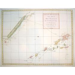
Carte d'une partie de la Mer du Sud Contenant les Découvertes des Vaisseaux de sa Majesté...
Complete title : "Carte d'une partie de la Mer du Sud Contenant les Découvertes des Vaisseaux de sa Majesté le Dauphin, Commodore Byron, La Tamar, Capit.ne Mouats,...
Place & Date: 1774
Selling price: $300
Sold in 2022
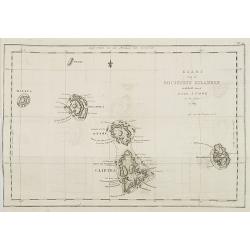
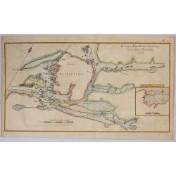
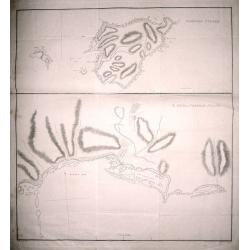
[HAWAII] - Plan de la baye de Karakakooa.
Beautiful map showing the islands forming the Hawaiian archipelago, drawn up during Cook's third voyage: Oneeheow or Ni'ihau, Atooi or Kauai, Woahoo or O'ahu, Morotoi or ...
Place & Date: Paris, 1774
Selling price: $425
Sold in 2022
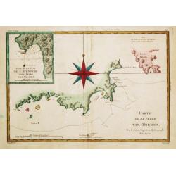
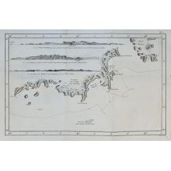
Carte de la Terre Van-Diemen,. . .
A map of the southernmost part of Tasmania with Storm Bay and S. E. Cape. With an inset with Adventure Bay.
Place & Date: Paris, c. 1775
Selling price: $120
Sold in 2009
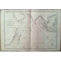
Carte réduite de l'Ocean Oriental, depuis Cap de Bonne Espérance jusqu'à l'Isle de Formose
Map of the Indian Ocean from the Cape of Good Hope to Formosa (Taiwan), also showing Southeast Asia and the west coast of Australia (Terre Australe, Nouvelle Hollande).Pl...
Place & Date: Paris, 1775
Selling price: $250
Sold in 2024
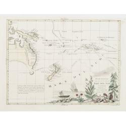
Nuove Scoperte Fatte nel 1765 . 67. e 69 nel Mare de Sud.
Antonio Zatta?s map of the South Pacific, showing the tracks of Cook's voyages through the region in 1765, 1767 and 1769. Shows Cook's tracks between New Zealand and alon...
Place & Date: Venise 1776
Selling price: $1650
Sold
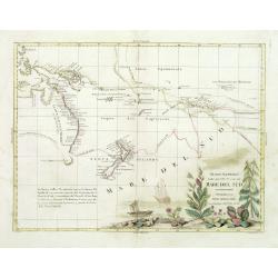
Nuove scoperte Fatte nel 1765. 67 e 69 nel Mare del Sud. . .
A very decorative map of the southern Pacific, showing the region from New Guinea to the Society Islands, marking the tracks of the explorers Carteret, Wallis, Byron and ...
Place & Date: Venise, 1776
Selling price: $850
Sold in 2011
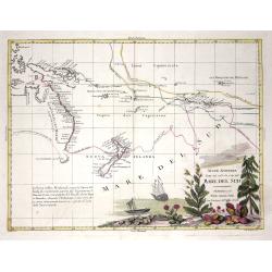
Nuove scoperte Fatte nel 1765. 67 e 69 nel Mare del Sud. . .
A very decorative map of the southern Pacific, showing the region from New Guinea to the Society Islands, marking the tracks of the explorers Carteret, Wallis, Byron and ...
Place & Date: Venise, 1776
Selling price: $700
Sold in 2013
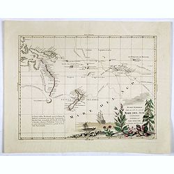
Nuove scoperte Fatte nel 1765. 67 e 69 nel Mare del Sud. . .
A very decorative map of the southern Pacific, showing the region from New Guinea to the Society Islands, marking the tracks of the explorers Carteret, Wallis, Byron and ...
Place & Date: Venise, 1776
Selling price: $850
Sold in 2017
Plan de la Baye Dusky (Obscure) a la Nouvelle Zelande, 1773.
A map engraved by Benard with an inset of Pickersgill harbour. From the French edition of Cook’s Voyages, published in Paris in 1777 (only one year after the English ed...
Place & Date: Paris, 1777
Selling price: $5
Sold in 2023
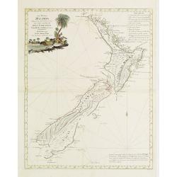
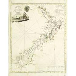
La Nuova Zelanda tracorsa nel 1769 e 1770 dal Cook commandante dell' Endeavour Vascello di S.M.Britannica.
Antonio Zatta?s map of New Zealand is not only one of the first to show the results of Cook?s voyages, but is also one of the most attractive of the islands. Considerable...
Place & Date: Venise 1778
Selling price: $2650
Sold
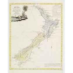
La Nuova Zelanda tracorsa nel 1769 e 1770 dal Cook commandante dell' Endeavour Vascello di S.M.Britannica.
Antonio Zatta?s map of New Zealand is not only one of the first to show the results of Cook?s voyages, but is also one of the most attractive of the islands. Considerable...
Place & Date: Venise 1778
Selling price: $1100
Sold
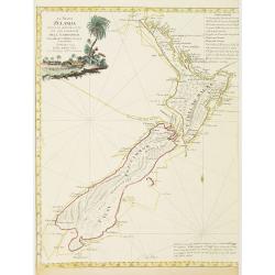
La Nuova Zelanda tracorsa nel 1769 e 1770 dal Cook commandante dell' Endeavour Vascello di S.M.Britannica.
Antonio Zatta?s map of New Zealand is not only one of the first to show the results of Cook?s voyages, but is also one of the most attractive of the islands. Considerable...
Place & Date: Venise, 1778
Selling price: $1750
Sold in 2008
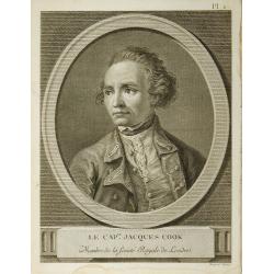
Le Cap-ne. Jacques Cook ...
From the French edition of James Cook's second voyage entitled Voyage dans l'Hémisphère Austral, et autour du Monde, fait sur les Vaissseaux de Roi, l'Aventure, la Rés...
Place & Date: Paris, 1778
Selling price: $55
Sold in 2010
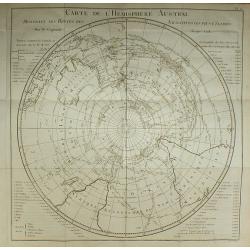
Carte de l'Hemisphere Austral.
From the French edition of James Cook's second voyage entitled Voyage dans l'Hémisphère Austral, et autour du Monde, fait sur les Vaissseaux de Roi, l'Aventure, la Rés...
Place & Date: Paris, 1778
Selling price: $190
Sold in 2010
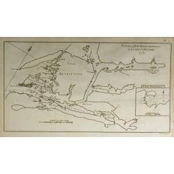
Plan de le Baye Dusky (Obscure) à la Nouv-e. Zélande.
From the French edition of James Cook's second voyage entitled Voyage dans l'Hémisphère Austral, et autour du Monde, fait sur les Vaissseaux de Roi, l'Aventure, la Rés...
Place & Date: Paris, 1778
Selling price: $40
Sold in 2010
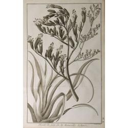
Plante de Lin de la Nouvelle Zélande.
From the French edition of James Cook's second voyage entitled Voyage dans l'Hémisphère Austral, et autour du Monde, fait sur les Vaissseaux de Roi, l'Aventure, la Rés...
Place & Date: Paris, 1778
Selling price: $30
Sold in 2010
L'Isle d'Otahiti ...
From the French edition of James Cook's second voyage entitled Voyage dans l'Hémisphère Austral, et autour du Monde, fait sur les Vaissseaux de Roi, l'Aventure, la Rés...
Place & Date: Paris, 1778
Selling price: $100
Sold in 2010
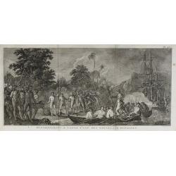
Débarquement à Tanna ...
From the French edition of James Cook's second voyage entitled Voyage dans l'Hémisphère Austral, et autour du Monde, fait sur les Vaissseaux de Roi, l'Aventure, la Rés...
Place & Date: Paris, 1778
Selling price: $60
Sold in 2010
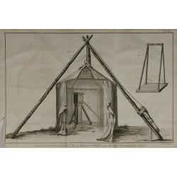
Fig.1. Observatoire portatif. Fig.2. Maniere d'atablir une Horloge Astronomique à terre.
From the French edition of James Cook's second voyage entitled Voyage dans l'Hémisphère Austral, et autour du Monde, fait sur les Vaissseaux de Roi, l'Aventure, la Rés...
Place & Date: Paris, 1778
Selling price: $30
Sold in 2010
La Nuova Zelanda tracorsa nel 1769 e 1770 dal Cook commandante dell' Endeavour Vascello di S.M.Britannica.
Antonio Zatta’s map of New Zealand is not only one of the first to show the results of Cook’s voyages, but is also one of the most attractive of the islands. Consider...
Place & Date: Venise, 1778
Selling price: $900
Sold in 2013
Cartes de Decouvertes faites dans la Pacifique..
A handsome map of New Caledonia and the Hebredees, tracing the track of Captain James Cook's voyage. Attractive coloring.
Place & Date: Paris, ca. 1780
Selling price: $250
Sold
Riviere Tamise et Baye Mercure à la Nle. Zelande ..
A detailed chart after Cook?s charting of Mercury Bay and the Hauraki Bay at Auckland, New Zealand with soundings anchorages and other navigational data, with two insets ...
Place & Date: Germany, c. 1780
Selling price: $180
Sold
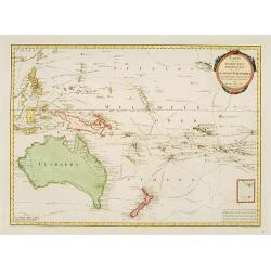
Charte von einem Theile des Süd-Meeres..
Map of the southern Pacific Ocean with Australia, New Zealand, and South America.
Place & Date: Berlin 1780
Selling price: $650
Sold
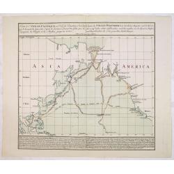
Carte de l'Océan Pacifique au Nord de l'Equateur. . .
The earliest folio-sized printed map of Cook's third voyage, on which he became the first European to discover Hawaii. On this voyage, he also explored the Northwest coas...
Place & Date: Augsburg 1781
Selling price: $1500
Sold in 2013
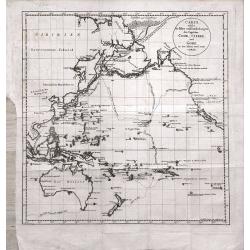
Carte welche die Fahrt und Endeckungen der Capitäns Cook, Clerke und Gore in den Iahren 1776 - 1780 vorstellt
Map of the Pacific Ocean, including Australia and New Zealand, depicting the voyages of Cook, Clerke und Gore during the years 1776 - 1780. From the rare German translati...
Place & Date: Berlin, 1781
Selling price: $1150
Sold in 2014
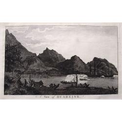
A view of Huaheine.
Detailed view of Cook's landing at Huahine Island in French Polynesia. Shows numerous people and canoes greeting the two sailing ships Resolution & Discovery. A large...
Place & Date: London, ca. 1784
Selling price: $15
Sold in 2016
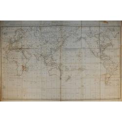
Carte Générale Offrant les Découvertes faites par le Capitaine Jacques Cook dans ce Voyage et dans les deux Voyages précédens ...
From the French edition of James Cook's third voyage entitled Troisième Voyage de Cook, ou Voyage à l'Océan Pacifique, ordonné par le Roi d'Angleterre, pour faire des...
Place & Date: Paris, 1785
Selling price: $231
Sold in 2010
Carte de la Terre Van-Diemen.
From the French edition of James Cook's third voyage entitled Troisième Voyage de Cook, ou Voyage à l'Océan Pacifique, ordonné par le Roi d'Angleterre, pour faire des...
Place & Date: Paris, 1785
Selling price: $30
Sold in 2010
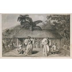
Danse d'O-taïti.
From the French edition of James Cook's third voyage entitled Troisième Voyage de Cook, ou Voyage à l'Océan Pacifique, ordonné par le Roi d'Angleterre, pour faire des...
Place & Date: Paris, 1785
Selling price: $100
Sold in 2010
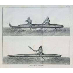
Canots d'Oonalashka.
From the French edition of James Cook's third voyage entitled Troisième Voyage de Cook, ou Voyage à l'Océan Pacifique, ordonné par le Roi d'Angleterre, pour faire des...
Place & Date: Paris, 1785
Selling price: $25
Sold in 2010
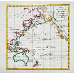
Carte de toutes les N.les Découvertes dans la Mer du Sud, ou est tracee la Route du Celebre Capitain Cook.
An attractive small map of the Pacific with the tracks of Captain Cook's last voyage made in 1777-79.
Place & Date: Paris, c.1785
Selling price: $170
Sold in 2017
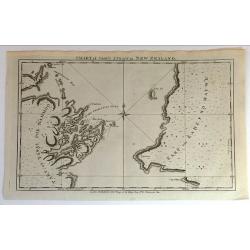
Chart of Cook's Strait in New Zealand.
Fine copperplate map of Captain Cook's discovery of New Zealand on hos first voyage of 1768. In 1770 he entered a deep water inlet and named it Queen Charlotte Sound and ...
Place & Date: London, 1785
Selling price: $161
Sold in 2015
Chart of Cook's Strait in New Zealand.
An early and important map of Cook's Strait, which separates the North and South islands of New Zealand. Shows the area of present day Wellington, Marlborough Sounds, and...
Place & Date: London, 1785
Selling price: $75
Sold in 2019
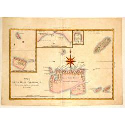
Isles de la Reine Charlotte.
A detailed chart of the Santa Cruz islands, to the north of the New Hebrides, including an inset chart of Carteret and Gower Islands, Baye de L'Hirondelle and Havre de By...
Place & Date: Paris, 1787
Selling price: $50
Sold in 2015
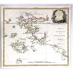
Carte des Isles de Papous
A rare and highly detailed map of Papua New Guinea, and neighbouring islands around New Guinea, South-East Asia.From Philippe de Pretot's Atlas. Features a fine floral ti...
Place & Date: Paris, 1787
Selling price: $24
Sold in 2018
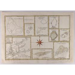
Esquisse de la Baye Dusky dans la Nouvelle Zeelande.
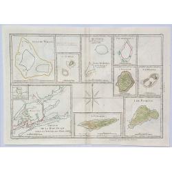
Group of hand colored engraved maps of Pacific islands in compartments on one sheet. These islands were described by Captain James Cook on one of his expeditions between ...
Place & Date: Paris, 1787
Selling price: $20
Sold in 2018
Esquisse de la Baye Dusky dans la Nouvelle Zeelande.
A fine and unusual map of New Zealand and the Pacific islands including; Isles de Wallis, Turtle, Bocos, Palmerston, Sauvage, Pitcairn etc. It features large compass ros...
Place & Date: Paris, 1787
Selling price: $18
Sold in 2024
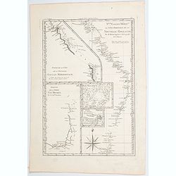
Nlle Galles Merid.le ou Côte Orientale de la Nouvelle Hollande. . .
R. Bonne's interesting sheet shows five charts of Captain Cook's and Tobias Furneaux discoveries on one sheet: Australias east coast in New South Wales, an inset with a p...
Place & Date: Paris, ca 1787
Selling price: $60
Sold in 2021
Nouvelle Galles Meridionale ou Cote Orientale de la Nouvelle Hollannde / Baie Botanique / Esquisse de la Terre Van-Diemen…
Rigobert Bonne's map of parts of southern and eastern Australia, based on earlier observations by Cook and Furneaux, published in Paris during the last quarter of the eig...
Place & Date: Paris, 1787
Selling price: $110
Sold in 2023
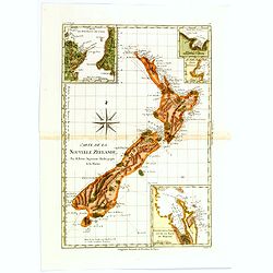
Carte de la Nouvelle Zéelande.
Rigobert Bonne's map appears in his Atlas Encylopedique . It is the best known printed summary of all Cook's maps pertaining to Australia and New Zealand. Cook's circumna...
Place & Date: Paris, 1788
Selling price: $350
Sold in 2017
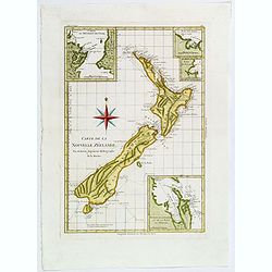
Carte de la Nouvelle Zéelande.
Rigobert Bonne's map appears in his Atlas Encylopedique. It is the best known printed summary of all Cook's maps pertaining to Australia and New Zealand. Cook's circumnav...
Place & Date: Paris, 1788
Selling price: $395
Sold in 2018
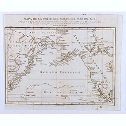
Mapa de la Parte del Norte del Mar del Sur, Sacado Dela Carta General Llamada de Cook, Publicada en Paris el Año de 1785. . .
Map of the Northern Part of the Pacific Ocean, taken from the "General Letter of Cook's Call. Published in Paris in the Year of 1785. With the Work of his Expedition...
Place & Date: Madrid, 1788
Selling price: $60
Sold in 2020
Norfolk Island ; S. end of Norfolk Island.
Norfolk Island ; S. end of Norfolk Island by W. Bradley delin. 1788. Published by J Stockdale August 10th 1789 printed by W. Harrison & J. Reid sc. Map of Norfolk Isl...
Place & Date: London, 1789
Selling price: $200
Sold in 2014
Polynesien (Inselwelt) oder der Fünfte Welttheil Verfasst von Herrn Djurberg. . .
One of the first maps to use the name Ulimaroa, originally published in Sweden in 1780. In the first state, it was the first map to use the Maori term Ulimaroa for Austr...
Place & Date: Vienna, Philipp Josef Schalbacher, 1789
Selling price: $1080
Sold in 2019
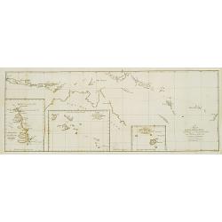
Fahrt des Lieut. William Bligh von Tofoa.. Timor..
Uncommon map showing the track of Wimmiam Bligh in 1789 on his ship Bounty Jakarta to Timor. With 3 inset maps: East coast of New Holland.Bligh's Islands and the Hebrides...
Place & Date: Berlin 1790
Selling price: $250
Sold
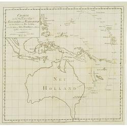
Charte von dem weg den die Schiffe Alexander..
Fine and rare map of Australia and Indonesia and the Philippines. Showing the track, from Port Jackson in New South Wales to Batavia, of the vessels Alexander and Scarbor...
Place & Date: Berlin 1790
Selling price: $300
Sold
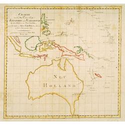
Charte von dem weg den die Schiffe Alexander..
Fine map of Australia and Indonesia and the Philippines. Showing the track, from Port Jackson in New South Wales to Batavia, of the vessels Alexander and Scarborough in t...
Place & Date: Berlin 1790
Selling price: $430
Sold
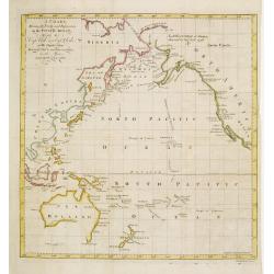
A chart Shewing the Tracks & Discoveries in The Pacific Ocean Made By Capt. Cook and Capt. Clerke..
Map of Pacific Ocean showing tracks of Resolution and Discovery in the years 1777-1780 made by Capt. Cook and Capt. Clerke. Engraved by Matthew Smith.
Place & Date: London 1790
Selling price: $400
Sold
Vue de l' Isle d' Otahiti et de plusieurs Pirogues.
Captain James Cook (1728-79), explorer, circumnavigator and hydrographer. Three voyages, 1768-71, 1772-75 and 1776-79. From 1778 on printed editions of' Captain Cook's Tr...
Place & Date: Paris, c. 1790
Selling price: $65
Sold
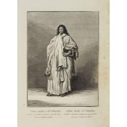
Uomai, nativo di Ulaietea condotto in Inghilterra nell' anno 1774 da Tobia Furneaux, Gentiluomo Inglese. / Omai, natif d'Ulaietea Conduit en Angleterre dans l'an 1774 par Tobie Furneaux, Gentilhomme Anglois.
Full portrait of an Omai, a Native of Ulaietea, was brought into England in 1774 by Tobias Furneaux. Probably based on a drawing by Nathaniel Dance Holland (1734-1811).A ...
Place & Date: Venice, Antonio Zatta, c.1790
Selling price: $300
Sold in 2012
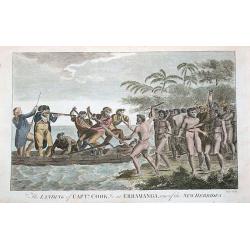
The landing of Captn. Cook, &c at Erramanga, one of the New Hebrides.
Copper engraved scene at Eromanga in the nation of today's Vanuatu during Cook's second voyage. Shows Captain Cook with his gun and his crew in a small boat fighting with...
Place & Date: London, ca. 1790
Selling price: $26
Sold in 2016
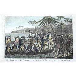
The landing of Captn. Cook, &c at Mallicolo, one of the New Hebrides.
Copper engraved scene on the island of Malakula in Vanuatu. Shows two of Captain Cooks boats with his crew landing on the island during Cook's second voyage. By Alexander...
Place & Date: London, ca. 1790
Selling price: $36
Sold in 2016
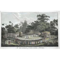
The Reception of Captn. Cook, in Hapaee.
The Ha'apai islands were named by Captain Cook the Friendly Islands, today's Tonga. Shown are a large group of Polynesians watching a boxing fight and a fight with clubs....
Place & Date: London, ca. 1790
Selling price: $25
Sold in 2016
Chart of Cook's Strait in New Zealand.
An early and important map of Cook's Strait, which separates the North and South islands of New Zealand. Shows the area of present day Wellington, Marlborough Sounds, and...
Place & Date: London, ca. 1790
Selling price: $20
Sold in 2017
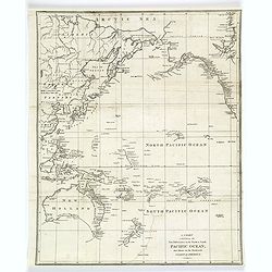
A Chart exhibiting the New Discoveries in the North & South Pacific Ocean, also those on the Northwest Coast of America.
A copper engraved map that was made only a few years after Cook's voyage to Australia. The map shows Port Jackson and other settlements in New South Wales. Other discover...
Place & Date: London, ca 1790
Selling price: $230
Sold in 2018
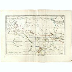
A General Chart Exhibiting the Discoveries Made by Captn. James Cook in This and His Two Preceding Voyages; with the Tracks of the Ships Under His Command, by Lieutt. Robers of His Majesty's Royal Navy
This scarce, large map is based on Mercator's projection and was compiled by Lieut. Henry Roberts from Cook's surveys after the third expedition. The map, centered on Aus...
Place & Date: London, ca. 1790
Selling price: $1130
Sold in 2023
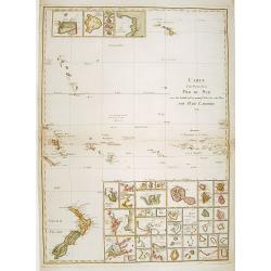
Carte d'une Partie de la Mer du Sud..
Covering the area from lower left New Zealand, up to Hawaii in the top. With 46 insets of islands in the South Pacific.
Place & Date: Paris 1791
Selling price: $1125
Sold
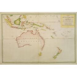
Carte de la Nouvelle Hollande et des Archipels..
Large map centered on Australia, whose southeastern seacoast is not delineated. It includes Indonesia and New Zealand. Just part of Tasmania is outlined.The title informs...
Place & Date: Paris, 1791
Selling price: $5400
Sold in 2008
Karte von Australien oder Polynesien nach den Zeichnungen Reisebeschreibungen
Map of Australia, the S.W. Pacific, and Indonesia showing Australia lettered New Holland with Tasmania joined to the mainland. It also shows the tracks of Tasman, Cook, F...
Place & Date: Nuremberg 1792
Selling price: $600
Sold
Kaart van de Societeit Eilanden ontdekt door Luit. J. Cook in het jaar 1769. N° 111.
Map of the islands of Maurua, Bolabola, Otaha, Ulietéa and Huaheine. In upper right corner "N° III". As James Cook writes in his journal on page 39 : "So...
Place & Date: Amsterdam, 1793
Selling price: $50
Sold in 2008
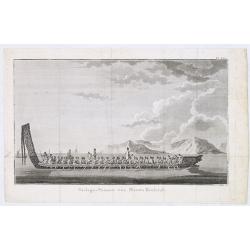
Oorlogs-Praauw van Niew-Zeeland
Shows long Maori war canoe with carved stern and prow, being rowed by about 30 men, with several men standing. Two further canoes with sails in the left background. Gable...
Place & Date: Amsterdam, 1795
Selling price: $50
Sold in 2013
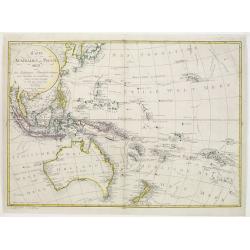
Karte von der Inselwelt Polynesien..
An attractive map of Australia, S.E.Asia, New Guinea and New Zealand showing the tracks of several explorers including those of Cook's three voyages. Australia and New Ze...
Place & Date: Vienna 1795
Selling price: $1100
Sold
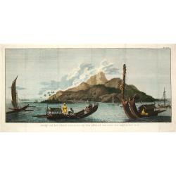
Gezigt van het eiland Otahiti op den afstand van eene zee-mijl in het Z.O.
Captain James Cook (1728-79), explorer, circumnavigator and hydrographer. Three voyages, 1768-71, 1772-75 and 1776-79. From 1778 on printed editions of' Captain Cook's Tr...
Place & Date: Amsterdam, c. 1795
Selling price: $65
Sold

![[HAWAII] - Plan de la baye de Karakakooa.](/uploads/cache/48173-250x250.jpg)
-250x250.jpg)
