Browse Listings in Antique Maps > Australia & Oceania
[A village scene from the Sandwich Islands ].
Aquatint depicting a village scene from the Sandwich Islands engraved by Castelli. Plate N° 92.The Sandwich Islands was the name given to the Hawaiian Islands by Captain...
Place & Date: Milan, 1827
Selling price: $45
Sold in 2022
[Easter Island ].
Aquatint depicting men discovering the Easter Island Statues engraved by Carlo Bottigella. Plate N° 89. From Giulio Ferrario's work Le Costume Ancien et Moderne ou Histo...
Place & Date: Milan, 1827
Selling price: $125
Sold in 2017
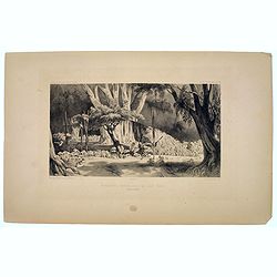
[The Morai. Hawaiian Islands ].
Aquatint depicting the Morai (Tahiti), a burying ground and a place of worship where human sacrifices were performed. Engraved by Castelli. Plate N° 84. From Giulio Ferr...
Place & Date: Milan, 1827
Selling price: $50
Sold in 2021
[ Pacific Palau Island Bay ].
Aquatint depicting Palau Island Bay engraved by Fumagalli. Plate N° 76. The English Captain Henry Wilson shipwrecked off the island of Ulong in 1783. Wilson dubbed Palau...
Place & Date: Milan, 1827
Selling price: $150
Sold in 2014
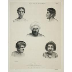
[ Portraits of New Zealand inhabitants ].
Aquatint depicting 4 portraits of New Zealand inhabitants engraved by Castelli. Plate N° 68. From Giulio Ferrario's work Le Costume Ancien et Moderne ou Histoire du gouv...
Place & Date: Milan, 1827
Selling price: $55
Sold in 2011
[ Pacific Palau Islands tools ].
Aquatint depicting a variety of Pacific Palau Islands tools engraved by Carlo Bottigella Plate N° 76. English Captain Henry Wilson shipwrecked off the island of Ulong in...
Place & Date: Milan, 1827
Selling price: $50
Sold in 2013
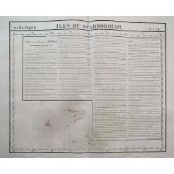
Iles Du Scarborough.
Interesting map showing Cook Island, Iles Simpson, and several others. With lengthy text about New Holland! Scarce and sought-after map from the first lithographic atlas...
Place & Date: Brussels, 1827
Selling price: $50
Sold in 2016
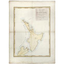
Nouvelle Zelande.
Detailed chart of the North Island of New Zealand, Cook Straits and part of the south Island, based upon the observations of the French expedition led by Dumont D'Urville...
Place & Date: Paris, 1827
Selling price: $205
Sold in 2019
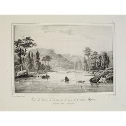
La vue du bassin de Norton sur le cours de la rivière Nepean (Nouvelle Galles méridionale).
Uncommon lithography by Langlumé showing River Nepean. From ALBUM PITTORESQUE DELA FRÉGATTE LA THÉTIS ET DE L''ESPÉRANCE. Collection de dessins relatifs à autour du ...
Place & Date: Paris, 1828
Selling price: $100
Sold in 2008
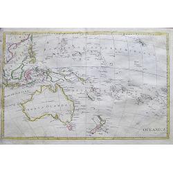
Oceanica 1828.
An uncommon Italian map of South-East Asia, Australia, New Zealand, Hawaii, and the southern Pacific. It shows and names many islands and places along the coasts. Also sh...
Place & Date: ca. 1828
Selling price: $42
Sold in 2017
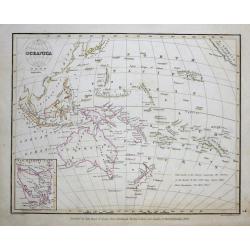
Oceanica.
This attractive map of the region covering Japan to North America, Australia and New Zealand from the Comprehensive Atlas of Modern Geography, an extraordinarily well exe...
Place & Date: Edinburgh, 1829
Selling price: $85
Sold in 2015
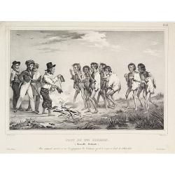
Port du roi Georges.
Depicting the discovery of New-Zealand by the Astrolabe.
Place & Date: ca.1830
Selling price: $210
Sold
Iles Viti et Nlle Irlande.
From "Voyage de la corvette l'Astrolabe exécuté par Ordre du Roi pendant les années 1826 - 1827 - 1828 - 1829 sous le commandement de M. Jules Dumont d'Urville, C...
Place & Date: Paris, 1830
Selling price: $35
Sold in 2011
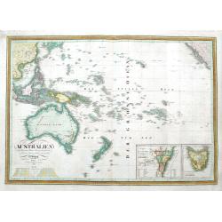
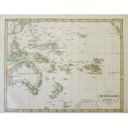
Australien nach Krusenstern, Flinders, Freycinet, Oxley. . .
A scarce early edition of this detailed German map of Australia and Oceania. It extends to show the entire southern Pacific Ocean, from China to California, including Jap...
Place & Date: Weimar, 1830
Selling price: $36
Sold in 2018
Carte de l\'Océanie comprenam l\'Australie, la Polynésie et du grand archipel d\'Asie.
Map of Oceania showing the tracks of Cook and La Perouse and those of the voyage in search of La Perouse. Relief shown by hachures. There is also a frame on the top left ...
Place & Date: Paris, 1833
Selling price: $380
Sold in 2010
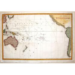
Carte Generale de L'Ocean Pacifique.
Sea chart depicting the Pacific Ocean. Shows the South East Asian area including Australia and New Zealand. Jules Sébastien César Dumont d'Urville (1790 – 1842)was ...
Place & Date: Paris, 1834
Selling price: $45
Sold in 2016
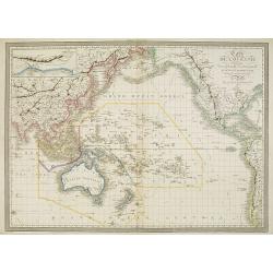
Carte de l'Océanie ou cinquième partie du Monde.
Early detailed map of the Southern part of the Pacific, extending from Southeast Asia, Australia and New Zealand to Hawai'i and the West Coast of the United States and Me...
Place & Date: Paris, 1834
Selling price: $180
Sold in 2024
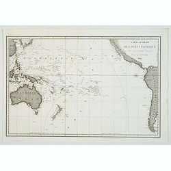
Carte générale de l'océan pacifique. . .
depicting the Pacific Ocean, with nice detail of Hawaii. With a complete outline for Australia and Tasmania. Shows the south east Asian region and South America. Jules S...
Place & Date: Paris, 1834
Selling price: $75
Sold in 2021
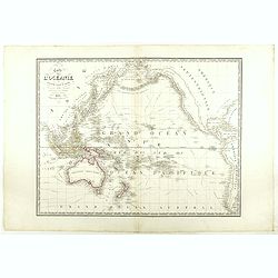
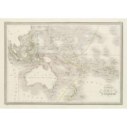
Carte de l'Océanie.
Steel engraving of Australia, New Zealand and Indonesia. Engraved by Thierry.Published by Conrad Malte-Brun (1775-1826). Mapping of Australia [+]
Place & Date: Paris, c.1835
Selling price: $100
Sold in 2023
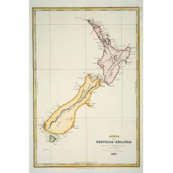
Carte de la Nouvelle-Zélande pour servir au Voyage pittoresque autour du Monde
Dumont d'Urville was second in command on Duperrey's expedition of 1824 and later led his own expedition to the Pacific aboard the 'Astrolabe'. The 'Dictionary of Mapmake...
Place & Date: Paris: L.Tenré, 1835
Selling price: $300
Sold
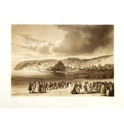
Plage de Kokora - Rêka (Nouvelle Zélande).
This plate comes from "Voyage autour du monde par les mers de l'Inde et de la Chine de la corvette de sa Majeste La Favorite execute pendant les annees 1830, 1831, 1...
Place & Date: Paris, no date 1835
Selling price: $375
Sold in 2010
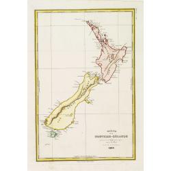
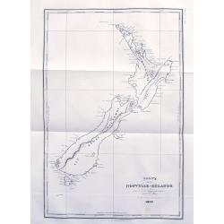
Carte de la Nouvelle-Zélande pour servir au Voyage pittoresque autor du Monde par M.D'Urville 1835
Map of New Zealand. Engraved by Ambroise Tardieu. Errors by Cook now updated.Dumont d'Urville was second in command on Duperrey's expedition of 1824 and later led his own...
Place & Date: Paris, L.Tenré, 1835
Selling price: $450
Sold in 2016
Carte de la Nouvelle-Zélande...
An early map of New Zealand after Dumont d'Urville's voyage on the Astrolabe. The larger French edition. Engraved by Tardieu.With numerous place names of bays, islands, e...
Place & Date: Paris, 1835
Selling price: $161
Sold in 2017
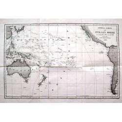
General-Karte vom Stillen Meere...
Large and very interesting map of the Pacific Ocean. Shows the area from South Korea and Japan, the Philippines, Taiwan, Australia and New Zealand, to California, Panama,...
Place & Date: Paris, 1836
Selling price: $78
Sold in 2016
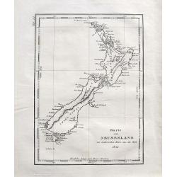
Karte von Neuseeland...
Early map of New Zealand after Dumont d'Urville's voyage on the Astrolabe. With numerous place names of bays, islands, ports, etc.
Place & Date: Paris, 1836
Selling price: $130
Sold in 2016
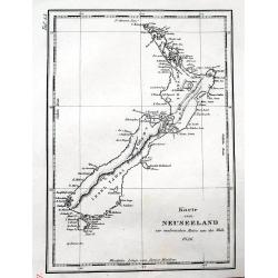
Karte von Neuseeland zur malerischen Reise um die Welt, 1836.
An early map of New Zealand after Dumont d'Urville's voyage on the Astrolabe. A German edition.With numerous place names of bays, islands, etc. With the Maori names of th...
Place & Date: Paris, 1836
Selling price: $160
Sold in 2017
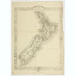
New Zealand.
Map of new Zealand engraved by John Dower who engraved maps for Orr's 1837 Atlas, "The British Cyclopaedia".
Place & Date: London, ca. 1837
Selling price: $150
Sold in 2020
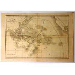
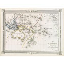
Oceanie
This map of Oceania by Charles Monin was published in his Atlas of Ancient and Modern Geography in Paris in 1837. The map is highly detailed, and an inset includes the na...
Place & Date: Paris, 1837
Selling price: $125
Sold in 2024
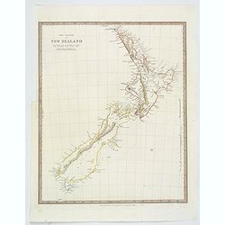
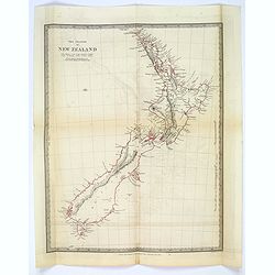
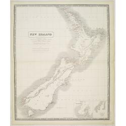
The Islands of New Zealand.
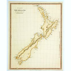
This is a map of New Zealand produced by the Society for the Diffusion of Useful Knowledge (S.D.U.K.). It covers the entire island country from Cape Reinga (C. Maria Van ...
Place & Date: London, 1838
Selling price: $120
Sold in 2021
Océanie.
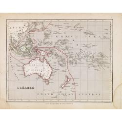
General map of Oceania.
Place & Date: Paris, 1839
Selling price: $10
Sold in 2024
Oceanie.
Finely engraved map of the Pacific Ocean with Australia and New Zealand, prepared by A.H.Dufour and engraved by Giraldon-Bovinet. Published by Jules Renouard in his uncom...
Place & Date: Paris, Jules Renouard, ca.1840
Selling price: $45
Sold in 2012
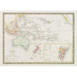
Oceanie
Interesting map of Oceania featuring Australia, Micronesia, Malaysia and Polynesia. It also has the south-west coast of America with a strange looking California. There i...
Place & Date: Paris, 1840
Selling price: $65
Sold in 2015
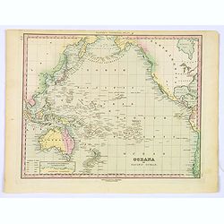
Oceana or Pacific Ocean.
A lovely detailed map of the Pacific, centered on Hawaii, from an early edition of Tanner's New Universal Atlas.
Place & Date: Philadelphia, ca 1840
Selling price: $45
Sold in 2019
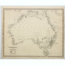
Australia.
An uncolored map of the continent of Australia in 1839, but published a year later in 1840, from the S.D.U.K. publication in London. The map identifies the years and name...
Place & Date: London, 1840
Selling price: $55
Sold in 2023
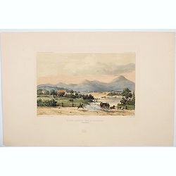
Riviere Derwent pres de Richemont.
An attractive hand colored lithograph showing the River Derwent at Richmond, which lies about 25 kms north-east of Hobart in Tasmania. The lithograph depicts a beautiful,...
Place & Date: Paris, ca 1840
Selling price: $240
Sold in 2023
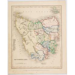
Van Diemen's Land.
A map of Van Diemen's Land (Tasmania) beautifully drawn and engraved by Joshua Archer in London for Grattan & Gilbert's "Modern Atlas".A small numbered tabl...
Place & Date: London, 1840
Selling price: $65
Sold in 2023
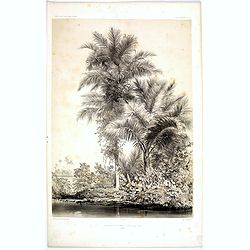
Bouquet de Palmiers dans L'Ile Tsis.
A desirable lithograph of beautiful tall Palm trees growing on the L'Ile Tsis, a part of the Cook Islands in the Pacific. Plate 100 taken from the 'Voyage au Pole et dans...
Place & Date: Paris, 1842
Selling price: $20
Sold in 2017
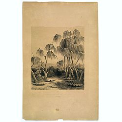
Reservoirs d'eau de L'Ile Toud.
A curious lithograph depicting local ways to store water in 'clam' like reservoirs on the Torres Strait island of Toud. Plate 188 taken from the 'Voyage au Pole et dans L...
Place & Date: Paris, 1842
Selling price: $15
Sold in 2022
Monuments Funeraires de L'Ile Toud.
An unusual lithograph of funerial monuments connected with the island of Toud, in the Torres Strait, to the north of Queensland. Plate 189 taken from the 'Voyage au Pole ...
Place & Date: Paris, 1842
Selling price: $10
Sold in 2023
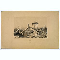
Cases de Naturels.
A lithograph of some classical Maori dwellings, the Bay of Islands in the North island of New Zealand. Plate 184 taken from the 'Voyage au Pole et dans L'Oceanie…' Depa...
Place & Date: Paris, 1842
Selling price: $20
Sold in 2019
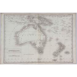
Australasia.
A detailed map of Australasia from Sidney Hall's scarce 1843 "New General Atlas”. Adam & Charles Black were among the leading publishers of atlases and travel ...
Place & Date: London, 1843
Selling price: $110
Sold in 2021
The Islands of New Zealand.
This is a map of New Zealand produced by the Society for the Diffusion of Useful Knowledge (S.D.U.K.). It covers the entire island country from Cape Reinga (C. Maria Van ...
Place & Date: London, ca. 1844
Selling price: $165
Sold in 2019
Océanie.
Detailed map of the Pacific with Australia, New Zealand, Indonesia and California. Lower right inset map of the south east coast of Australia Colonie Anglaise de la Nouve...
Place & Date: Paris 1845
Selling price: $80
Sold
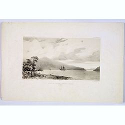
Fond de la Baie Sarah's Bosom (Iles Aukland)
On 11 March 1840 Jules Dumont d’Urville, commanding the French ship Astrolabe, sailed from Hobart to the sub Antarctic Auckland Islands. This sweeping view is of the ba...
Place & Date: Paris, ca 1845
Selling price: $75
Sold in 2019
Carte de L'Océanie..
Decorative map of the Pacific with Australia, New Zealand, Indonesia and California, prepared by J.G.Barbié du Bocage.Engraved by Ch.Smith, published by Basset who was e...
Place & Date: Paris 1846
Selling price: $30
Sold
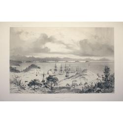
Mouillage de Korora-Reka (Baie des Isles)
Drawn by L. Le Breton and engraved by Sabatier.
Place & Date: Paris, Gide, 1846
Selling price: $550
Sold in 2008
Fond de la baie Sarah's Bossom (Iles Aukland)
Drawn by L. Le Breton and engraved by Guiaud.
Place & Date: Paris, Gide, 1846
Selling price: $190
Sold in 2008
Baie d'Akaroa (Nouvelle Zélande)
Drawn by L. Le Breton and engraved by Sabatier.
Place & Date: Paris, Gide, 1846
Selling price: $160
Sold in 2008
Port d'Otago (Nouvelle Zélande)
Drawn by L. Le Breton and engraved by Sabatier.
Place & Date: Paris, Gide, 1846
Selling price: $160
Sold in 2008
AUSTRALIEN nach Krusenstern u. A. in Meractors Projection...
A fantastic steel engraved map of Australia and the Pacific. Published in Stieler's Hand-Atlas.Dated 1826 but updated until around 1845 with superb geography and exact de...
Place & Date: Gotha, c1846
Selling price: $125
Sold in 2012
The Islands of New Zealand.
This is a map of New Zealand produced by the Society for the Diffusion of Useful Knowledge (S.D.U.K.). It covers the entire island country from Cape Reinga (C. Maria Van ...
Place & Date: London, ca. 1846
Selling price: $110
Sold in 2017
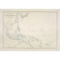
Carte générale de l'Océan Pacifique dressée Par Mr. C,A, Vincendon-Dumoulin 1845 Expédition au Pole Austral et dand l'Oéanie, commondée par M.Durmont d'Urville . . .
Four-sheet map of the Pacific Ocean showing good detail on Australia, New Zealand and the west coast of North and South America. In lower margin: Le plan grave´ par Jaco...
Place & Date: Paris, 1847
Selling price: $3600
Sold in 2013
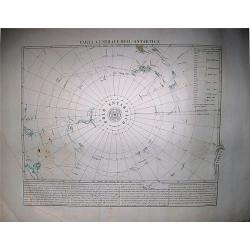
Carta Generale dell'Antartica.
Benedetto Marzolla, was among the most relevant of the Italian cartographers of the XIX century, he used very high quality lithographies for his maps. His 'Atlante Geogra...
Place & Date: Naples, 1848
Selling price: $350
Sold in 2017
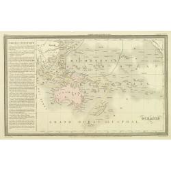
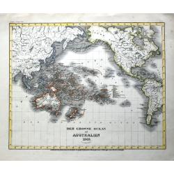
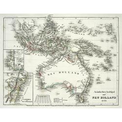
Asiatischer Archipel und Neu Holland 1847 / Der Grosse Ocean und Australien 1849.
Two interesting steel engraved maps of Southeast Asia and the Pacific.(1) Asian Archipelago and New Holland 1847: The map shows Australia as well as Indonesia, Malacca (M...
Place & Date: Hildburghausen, 1849
Selling price: $25
Sold in 2021
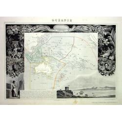
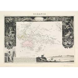
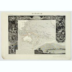
Océanie
Very decorative steel-engraved map of Australia and the Pacific. Ornately decorated with Indians, plants, portraits, harbor view and descriptive text.
Place & Date: Paris, 1850
Selling price: $50
Sold
Océanie.
An attractive map from one of the last decorative atlases of the nineteenth century. The map covers the entire South Pacific including Australia and New Zealand and South...
Place & Date: Paris 1850
Selling price: $200
Sold
ASIATISCHER ARCHIPEL UND NEU HOLLAND 1849
Steel engraved map from "Meyers Zeitungs und Groschen-Atlas" by J. Meyer, considered on of the best German atlases in the 19th century.Very detailed representat...
Place & Date: Hildburghausen, c1850
Selling price: $50
Sold in 2008
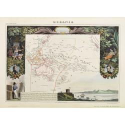
Océanie.
A very decorative 19th-century map of the Pacific Ocean, with hand-colored lines indicating the extent of Polynesia, Micronesia, Melanesia, and Malaysia (or Southeast Asi...
Place & Date: Paris, 1850
Selling price: $95
Sold in 2022
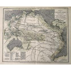
Karte vom Grossen Ocean...
Interesting map of the Pacific Ocean, showing a wealth of currents, routes and dates of explorations , temperatures, etc.
Place & Date: Hildburghausen, ca. 1850
Selling price: $17
Sold in 2016
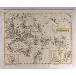
Australien (Oceanien)
Striking German map of Australia and Polynesia with three inserts including Van Diemens Land, West Australia and New South Wales. The map maker is unknown and the map is...
Place & Date: Germany, c. 1850
Selling price: $75
Sold in 2017
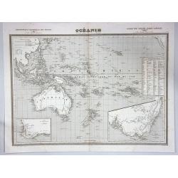
Océanie.
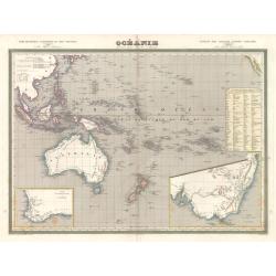
A large and detailed map of Australasia, with insets of New South Wales and the south west corner of Australia. An uncommon map including Australia, New Zealand and Indon...
Place & Date: Paris, ca 1850
Selling price: $40
Sold in 2017
Océanie.
A very decorative 19th century map of the Pacific Ocean, with hand colored lines indicating the extent of Polynesia, Micronesia, Melanesia, and Malaysia (or Southeast Asi...
Place & Date: Paris, 1850
Selling price: $45
Sold in 2024
Karte von dem Südöstlichen Theile Australia's zur Übersicht der Entdeckungen im Innern von Neu Süd Wales bis zum Jahre 1832.
A fine map of South East Australia including Adelaide, Melbourne, Brisbane, and Sydney. With very interesting details of the interior, including short descriptions and no...
Place & Date: Gotha, ca 1850
Selling price: $19
Sold in 2021
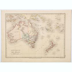
Australia and New Zealand.
A lovely map of Australia and New Zealand rendered in original soft pastel colours, published by E.P. Williams in London & Eton College. It is to be supposed that thi...
Place & Date: London, ca 1850
Selling price: $65
Sold in 2023
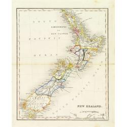
New Zealand.
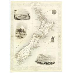
Decorative steel engraved map of New Zealand, surrounded by illustrations of Auckland, Mount Egmont, a New Zealander, and the port of Wellington. Border in a New Zealand ...
Place & Date: London, 1851
Selling price: $500
Sold in 2010
New Zealand.
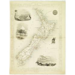
Decorative steel engraved map of New Zealand, surrounded by illustrations of Auckland, Mount Egmont, a New Zealander, and the port of Wellington. Border in a New Zealand ...
Place & Date: London, 1851
Selling price: $350
Sold in 2023
New Zealand.
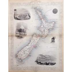
An interesting and detailed map of the islands, with vignettes of Auckland, Mount Egmont from New Plymouth, Wellington and others.John Tallis was one of the last great de...
Place & Date: London, 1851
Selling price: $250
Sold in 2017
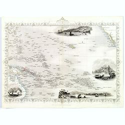
Polynesia or Islands in the Pacific Ocean.
Decorative and attractive map of the Islands in the Pacific Ocean.
Place & Date: London ,1851
Selling price: $75
Sold in 2016
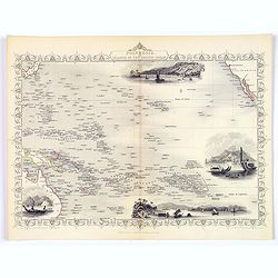
Polynesia or Islands in the Pacific Ocean.
A decorative and attractive map of the Islands in the Pacific Ocean. The map extent shows parts of California, Papua New Guinea, eastern Australia, and southern Japan.The...
Place & Date: London ,1851
Selling price: $71
Sold in 2017
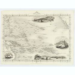
Polynesia or Islands in the Pacific Ocean.
A decorative and attractive map of the Islands in the Pacific Ocean. The map extent shows parts of California, Papua New Guinea, eastern Australia, and southern Japan.The...
Place & Date: London ,1851
Selling price: $75
Sold in 2019
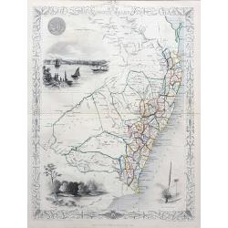
New South Wales
Very decorative and important map of NSW with Sydney, extending north until todays Brisbane and Gold Coast area. Shows many place names, and also with good inland detail!...
Place & Date: London & New York, c1851
Selling price: $35
Sold in 2021
New Zealand by A.K. Johnston F.R.G.S.
Map of New Zealand, with notes, and with "the southern part of the North I. corrected from recent surveys by Mr Kettle, Assist. Surveyor to the N.Z. Co., Oct. 1843.&...
Place & Date: Edinburgh, ca. 1853
Selling price: $120
Sold in 2023
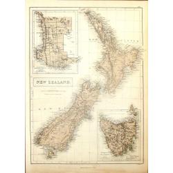
New Zealand.
Nice hand-colored lithograph map of New Zealand engraved by W. Hughes and published in Edinburgh by A. & C. Black in 1853. The map features insets of Tasmania and Wes...
Place & Date: Edinburgh, 1853
Selling price: $24
Sold in 2016
Village d\'Umata (Ile Gouaham).
Two-shades plate engraved for the "Atlas Pittoresque - Voyage au Pôle Sud et dans l'Océanie, sur les corvettes l'Astrolabe et la Zélée, exécuté par ordre du Ro...
Place & Date: Paris, 1841-1854
Selling price: $70
Sold in 2011
Baie de Sarah's Bosom (Iles Auckland)
Plate engraved for the "Atlas Pittoresque - Voyage au Pôle Sud et dans l'Océanie, sur les corvettes l'Astrolabe et la Zélée, exécuté par ordre du Roi pendant l...
Place & Date: Paris, 1841-1854
Selling price: $250
Sold in 2008
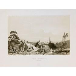
Vue de l'Observatoire.
Two-shades plate engraved for the "Atlas Pittoresque - Voyage au Pôle Sud et dans l'Océanie, sur les corvettes l'Astrolabe et la Zélée, exécuté par ordre du Ro...
Place & Date: Paris, 1841-1854
Selling price: $455
Sold in 2010
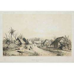
Grande rue d\'Umata.
Two-shades plate engraved for the "Atlas Pittoresque - Voyage au Pôle Sud et dans l'Océanie, sur les corvettes l'Astrolabe et la Zélée, exécuté par ordre du Ro...
Place & Date: Paris, 1841-1854
Selling price: $55
Sold in 2011
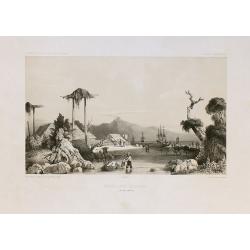
Mouillage d'Otago.
Two-shades plate engraved for the "Atlas Pittoresque - Voyage au Pôle Sud et dans l'Océanie, sur les corvettes l'Astrolabe et la Zélée, exécuté par ordre du Ro...
Place & Date: Paris, 1841-1854
Selling price: $385
Sold in 2010
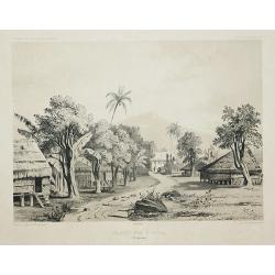
Grande rue de Merizo.
Two-shades plate engraved for the "Atlas Pittoresque - Voyage au Pôle Sud et dans l'Océanie, sur les corvettes l'Astrolabe et la Zélée, exécuté par ordre du Ro...
Place & Date: Paris, 1841-1854
Selling price: $60
Sold in 2011
New Zealand.
Map of New Zealand, published by "The London Printing and Publishing Company". Drawn and engraved by John Rapkin.
Place & Date: London, 1854
Selling price: $100
Sold in 2022
![[A village scene from the Sandwich Islands ].](/uploads/cache/26371-250x250.jpg)
![[Easter Island ].](/uploads/cache/26372-250x250.jpg)
![[The Morai. Hawaiian Islands ].](/uploads/cache/26379-250x250.jpg)
![[ Pacific Palau Island Bay ].](/uploads/cache/26383-250x250.jpg)
![[ Portraits of New Zealand inhabitants ].](/uploads/cache/26370-250x250.jpg)
![[ Pacific Palau Islands tools ].](/uploads/cache/26382-250x250.jpg)
