Browse Listings in Antique Maps > World Maps
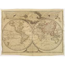
Terrestrial Globe & Celestial Globe.
Decorative copper engraving showing two globes and several diagrams on one sheet. The globe of the earth is centered on the Indian Ocean, showing a partial New Holland, I...
Place & Date: London, 1787
Selling price: $45
Sold in 2016
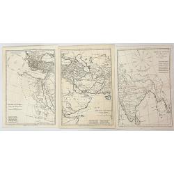
Imperia Antiqua. Pars Occidentalis/ Pars Media/ Pars Orientalis (Three Maps)
Three associated maps from Rigobert Bonne's "Atlas Encyclopedique", together depicting the eastern part of the Mediterranean, the Near East and the Indian subco...
Place & Date: Paris, 1787
Selling price: $100
Sold in 2023
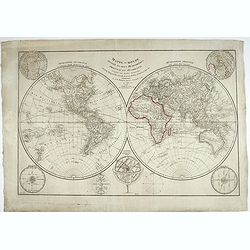
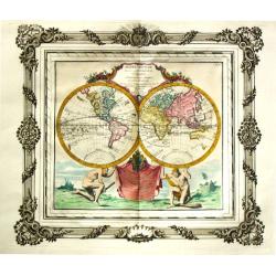
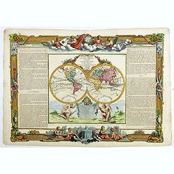
Carte Generale de la Terre ou Mappe Monde avec les quatres principaux systemes..
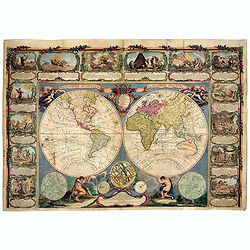
Uncommon and dramatically composed world map, prepared by Clouet..Two mythological figures supporting the two hemispheres.With superb decoration including a wonderful roc...
Place & Date: Paris, 1788
Selling price: $775
Sold
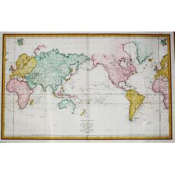
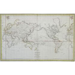
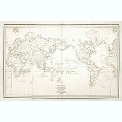
Mappemonde ou carte réduite des parties connues du globe.
A world map in Mercator projection to illustrate the voyages made by La Perouse in the years 1785-1788. Jean François Galaup, Comte de la Pérouse (1741-1788), outstandi...
Place & Date: Paris, 1788
Selling price: $750
Sold in 2014
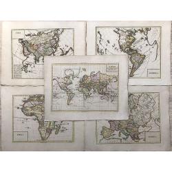
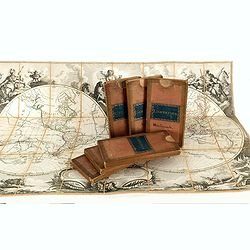
Set of World and Continents in original slip cases.
A fine set of the world in double hemisphere, North and South America, Asia, Africa and Europe. The maps are prepared by Louis Brion de la Tour (1756-1823) and published ...
Place & Date: Paris, Esnauts et Rapilly, ca. 1783-1788
Selling price: $6000
Sold
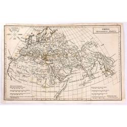
Orbis Veteribus Notus
Finely engraved map of the Ancient World, that includes Europe, Asia and North Africa.
Place & Date: London, 1788
Selling price: $40
Sold in 2016
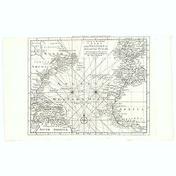
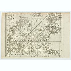
A New & Accurate Chart of the Western or Atlantic Ocean.
A map from 'Middleton's Complete System of Geography', from the Arctic Ocean in the north, south to the top of South America and across to the Slave Coast of Africa. Fro...
Place & Date: London, 1788
Selling price: $80
Sold in 2016
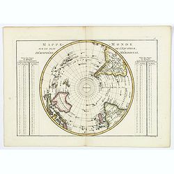
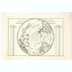
Mappe-Monde sur le plan de l'Equateur, Hemisphere Meridional.
An attractive double-page map of the Southern Hemisphere centered on the South Pole, from the South Pole up to the Equator. From the Atlas Encyclopédique contenant la G�...
Place & Date: Paris, 1788
Selling price: $65
Sold in 2019
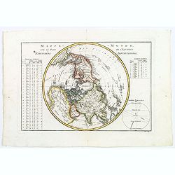
Mappe-Monde, sur le plan de l'Equateur, Hemisphere Septentrional.
An attractive double-page hemisphere map on a (north) polar projection from the North Pole down to the Equator. From the Atlas Encyclopédique contenant la Géographie An...
Place & Date: Paris, 1788
Selling price: $65
Sold in 2018
Mappe Monde, contenant les Parties Connues du Globe Terrestre
This beautiful wall map consists of two hemispheres. The Eastern Hemisphere is being carried by Hercules (with the skin of the Nemean Lion), the Western Hemisphere is car...
Place & Date: Paris, 1788
Selling price: $8200
Sold in 2021
Mappe-Monde, sur le plan de l'Equateur, Hemisphere Septentrional.
An attractive small double-page hemisphere map on a (north) polar projection from the North Pole down to the Equator. From the Atlas Encyclopédique contenant la Géograp...
Place & Date: Paris, 1788
Selling price: $75
Sold in 2021
A New & Accurate Chart of the Western or Atlantic Ocean.
A map from 'Middleton's Complete System of Geography', from the Arctic Ocean in the north, south to the top of South America and across to the Slave Coast of Africa. Fro...
Place & Date: London, 1788
Selling price: $43
Sold in 2021
Generalkarte sämtlicher Entdeckungen..
An interesting world map centred on Australia depicting the 3 voyages of Capt. Cook. The southern coast of New Holland in outline joining van Diemen Land. Japan is shown ...
Place & Date: Vienna 1789
Selling price: $1100
Sold
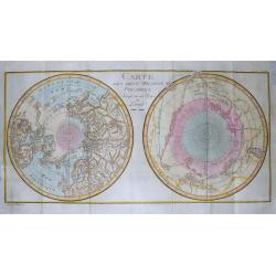
Carte Des Deux Regions Polaires...
Unusual map of the World on a polar projection, showing a contemporary knowledge of the Polar latitudes, including the routes of Abel Tasman, James Cook, Edmund Halley, F...
Place & Date: Paris, c1790
Selling price: $85
Sold in 2014
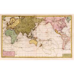
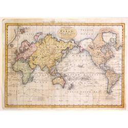
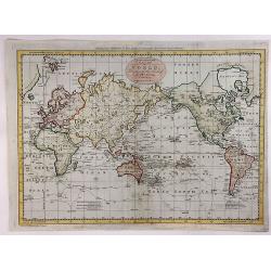
A New and Complete Chart of the World; Displaying the Tracks of Captain Cook and Other Modern Navigators.
Copperplate map on Mercator's projection featuring the recent discoveries in the Pacific and northern oceans. Specifically are updates on Alaska, The Sandwich Islands and...
Place & Date: London, 1790
Selling price: $231
Sold in 2016
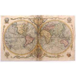
The World including the late Discoveries by Captain Cook and other Circomnavigators.
Striking double-hemisphere world map depicting the recent discoveries prior to 1790. Alaska is shown with a fairly correct shape. The Sandwich Islands are shown and note...
Place & Date: London, 1790
Selling price: $140
Sold in 2015
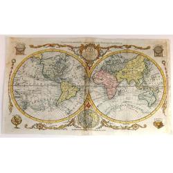
The World including the late Discoveries by Capt Cook and other Circumnavigators
Striking, double-hemisphere world map depicting the discoveries in the Pacific and northern oceans during the latter 18th century.Alaska is shown with a fairly correct sh...
Place & Date: London, 1790
Selling price: $275
Sold in 2015
A New and complete chart of the World, Displaying the Tracks of Capt. Cook and Other Modern Navigators.
A copperplate map, on Mercator's projection, featuring the recent discoveries in the Pacific and northern oceans. Specific are the updates on Alaska, The Sandwich Islands...
Place & Date: London, 1790
Selling price: $70
Sold in 2018
Mappe-monde dréssée pour l'étude de la géographie, relativement aux auteurs les plus modernes . . .
World map in double hemisphere. North America with a large Mer de L'Quest or Sea of the West. A great sea, easily the size of the Mediterranean, to flow from the then-kno...
Place & Date: Paris, 1790
Selling price: $300
Sold in 2018
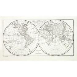
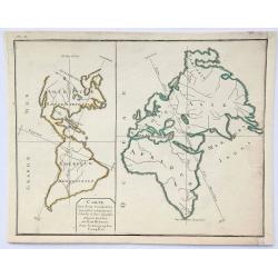
Carte des Deux Continents.
An unusual little map showing the comparison between the length of the vertical lines which show the greatest linear extent for each continent (Eurasia is by this measure...
Place & Date: Paris, ca 1790
Selling price: $48
Sold in 2019
A General Chart Exhibiting the Discoveries Made by Captn. James Cook in This and His Two Preceding Voyages; with the Tracks of the Ships Under His Command, by Lieutt. Robers of His Majesty's Royal Navy
This scarce, large map is based on Mercator's projection and was compiled by Lieut. Henry Roberts from Cook's surveys after the third expedition. The map, centered on Aus...
Place & Date: London, ca. 1790
Selling price: $1130
Sold in 2023
Mappe Monde Divisée en ses quatre Parties 1792.
World map engraved by H. Godin.
Place & Date: Paris 1792
Selling price: $80
Sold
The World.
Uncommon miniature map from Gibson's "Atlas Minimus, or a New Set of Pocket Maps of the several Empires, Kingdoms and States of the known World".
Place & Date: London, 1792
Selling price: $86
Sold in 2011
Mappe Monde ou description du Globe terrestre & Aquatique..
The map is attractively engraved. In the corners are allegorical female figures representing the continents, each set within a tableau of flora and fauna of the areas. Ca...
Place & Date: Amsterdam, 1792
Selling price: $1450
Sold in 2014
Mappe Monde ou description du Globe terrestre & Aquatique. . .
The map is attractively engraved. In the corners are allegorical female figures representing the continents, each set within a tableau of flora and fauna of the areas. Ca...
Place & Date: Amsterdam, 1792
Selling price: $1150
Sold in 2015
A Chart of the World, shewing the Latest Discoveries of Capt. Cook.
An informative World map, published shortly after Cook's third voyage. It shows the results of Cook's discoveries along the NW Coast of America and in the Pacific. From A...
Place & Date: London, 1792
Selling price: $75
Sold in 2019
(Set of 3) Globo Terrestre delineato sulle ultime osservazioni con i viaggi e nuove scoperte del Cap. Cook.
Three sheets (of four) with scarce globe gores published in Cassini's Nuovo Atlante Geografico Universale. Extending from New Zealand to Europe and Africa, including the ...
Place & Date: Rome, 1792
Selling price: $1200
Sold in 2024
Carte de la Mer Pacifique du Nord, contenant la Cote Nord-Est D'Asie et la Cote Nord-Ouest D'Amerique ...1778 et 79 par le Capn Cook, et...1788-89 par le Capne Jean Meares
A marvelous map of the North Pacific, detailing the explorations of the Captain John Meares.This map covers a large portion of the Asian and North American continents, ho...
Place & Date: Paris, 1794
Selling price: $200
Sold in 2018
Mappe Monde en deux Hémisphéres, . . .
Handsome twin hemisphere map with particularly nice detail of the islands throughout the world. Australia is still oddly shaped with a partially delineated southern coast...
Place & Date: Paris 1795
Selling price: $220
Sold
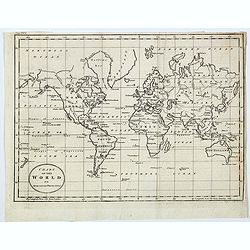
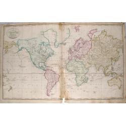
Chart of the World on Mercator's Projection
A small inexpensive late 18th century map of the world by Benjamin Baker. 'New Holland' is still incorrectly shown with Tasmania joined to the mainland, New Guinea's coas...
Place & Date: London, 1796
Selling price: $17
Sold in 2021
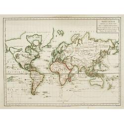
Mappemonde ou Carte reduite des Parties Connues du Globe pour servir au Voyage de La Perouse en 1785, 86, 87 et 88.
Jean François Galoup, Comte de la Pérouse (1741-88), outstanding French explorer and hydrographer. ' Voyage autour du Monde?Atlas', 1797.A worldmap in Mercator projecti...
Place & Date: Paris, 1797
Selling price: $725
Sold in 2011
Mappe-Monde suivant la projection des cartes. . .
An attractive Mercator projection map of the world up-dated following Cook's and Bougainville's expeditions. Van Diemen's land joint to Australia's mainland.The map is mo...
Place & Date: Paris c.1797
Selling price: $350
Sold
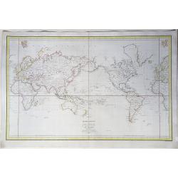
Mappemonde ou carte reduite des parties connues du globe pour servir au Voyage de La Perouse, fait dans les annees 1785 . . .
A striking example of La Perouse's map of the World on Mercator's projection. A map of the world showing the route of Jean-François de La Pérouse's voyage at the reques...
Place & Date: Paris, 1797
Selling price: $490
Sold in 2020
Mappemonde ou Carte Reduite des Parties Connues du Globe pour servir au Voyage de La Perouse fait dans les Annees 1785. . .
A detailed world map on Mercator's projection, high-lighting La Perouse's voyages from France to Africa, Hawaii to the NW Coast of America, across the Pacific to China vi...
Place & Date: Paris, 1797
Selling price: $950
Sold in 2021
Mappe-monde divisée en deux hémisphères, oriental et occidental, assujetties aux dernières découvertes de Mrs de Bougainville, Surville, Cartret. Wallis, Furneau, Cook, etc, Par J.-B. Poirson...
Fine detailed world map in double hemispheres. Prepared by J.B.Poirson and Herison. According to the title the map is updated with info from travels by de Bougainvill...
Place & Date: Paris, 1798
Selling price: $200
Sold in 2022
Mappe-Monde divisée en deux Hemispheres Oriental et Occidental assujetties aux dernières Découvertes, de M.rs de Bouganville, Surville, Cartret, Wallis, Furneau, Cook &c.
This is a double-hemisphere world map that includes the tracks of all the major voyages of discovery. Nearly all landmasses are shown correctly, with the exception of the...
Place & Date: Paris, chez Jean, 1798
Selling price: $400
Sold in 2024
(World Map plus Continents) WORLDMAP - A' FOLD OT RESZEINEK LERAJZOLASA. + AMERIKA. - AFRIKA. - ASIA. - EUROPA.
Very rare set of Hungarian maps publ. in "Oskolai Magyar Uj Atlas" (=Hungarian New School Atlas). Copper engravings.WORLDMAP - A' FOLD OT RESZEINEK LERAJZOLASA....
Place & Date: Debrecen, ca 1799
Selling price: $901
Sold in 2018
A New Map, of the World. with all the New Discoveries. By Capt. Cook and other Navigators Ornamented with the Solar System the Eclipses of the Sun Moon & Planets &c. by T. Kitchen Geographer. London, 1799.
This very rare and unrecorded double-hemisphere world map, with an unusually dark etched border containing the title cartouche, astronomical illustrations ( circular diag...
Place & Date: London, 1799
Selling price: $8550
Sold in 2018
Map of the World on a Globular Projection, Exhibiting Particularly the Nautical Researches of Capn. James Cook, F.R.S. . .
A monumental world map by Aaron Arrowsmith showing the world at the time of the second British Empire. The two hemispheres are on a large scale and hence reveal incredibl...
Place & Date: London, 1799
Selling price: $3000
Sold in 2019
Kaarat van het Zuider Halfrond. . .
A Dutch edition of this important map from Cook's voyages. Not as commonly found as the English versions. It is centred on the South Pole, and it shows the southern hemis...
Place & Date: Leiden, ca. 1799
Selling price: $101
Sold in 2020
A new Mercator's chart drawn from the latest discoveries.
Map of the world in Mercator' projection., showing the tracks of captain Cook (1776-1779). Engraved by W.Harrison.
Place & Date: London 1800
Selling price: $100
Sold
Mappemonde a l'usage de l'instr.on par premiers géographes et de l'académie des sciences..
An updated version of the double hemisphere world map by Buache of 1785. As the map was printed after the French Revolution, and the original dedication to the King was r...
Place & Date: Paris 1800
Selling price: $500
Sold
Mappe-Monde.
A world map in two hemispheres based upon the astronomical observations of Tschirikow and Guillaume de l'Isle of 1741. The Russian captain Tschirikow surveyed the northwe...
Place & Date: Paris, c.1800
Selling price: $550
Sold
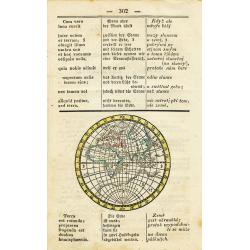
untitled (Eastern Hemisphere)
Interesting and rare map printed within a page from a dictionary. Published probably around 1800 it translates astronomical terms into three languages. The map shows the ...
Place & Date: ca. 1800
Selling price: $35
Sold in 2010
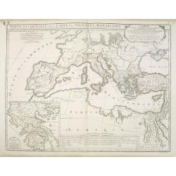
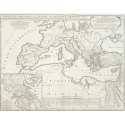
Partie Occidentale de la Carte des Anciennes Monarchies. . .
This map depicts the western part of the Ancient World, Partie Occidentale de la Carte des Anciennes Monarchies including southern Europe and northern Africa. An inset ma...
Place & Date: Paris, ca. 1800
Selling price: $150
Sold in 2010
Partie Occidentale de la Carte des Anciennes Monarchies. . .
This map depicts the western part of the Ancient World, Partie Occidentale de la Carte des Anciennes Monarchies including southern Europe and northern Africa. An inset ma...
Place & Date: Paris, ca. 1800
Selling price: $180
Sold
Mappemonde des deux hémispheres. . .
Map of the world in double hemisphere showing the track of Robinson Crusoé.
Place & Date: Paris, 1800
Selling price: $70
Sold in 2011
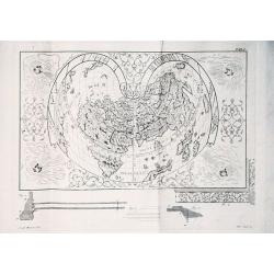
Illustrazione di un'urnetta lavatora d' oro... col inscrizione Paulus Ageminius faciebat.
Description of a gold urn with a cordiform world map (21 x 28 cm) engraved by Paolo Rizzo in c. 1560. Since the urn is no longer extinct, the engraved plate is the only s...
Place & Date: Venice, 1800
Selling price: $350
Sold in 2016
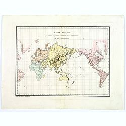
Mappa-Mondo per indicare la principale costruzione, e la configurazione de Due Continenti.
This is a highly unusual Italian map of the world, shown on Mercator's projection, focusing on the physical, or topographical features of the continents, without any poli...
Place & Date: Rome, 1800
Selling price: $80
Sold in 2016
Map of the World as Known to the Ancients Shewing the Settlements of the Sons of Noah.
An interesting map of the ancient world showing Europe, North Africa and South Western Asia, by Thomas Conder (1747-1831) and was published in 1800 in London by C. Taylor...
Place & Date: London, 1800
Selling price: $30
Sold in 2017
Mappemonde a l'usage de l'instr.uction Par Guillaume Delisle et Philippe Buache et de l'Académie des Sciences Revue et Augmentée des N les Découvertes par Dézauche en 1800.
Rare late edition of the De L'Isle-Buache double hemisphere map of the world, first published in 1720 by De L'Isle and first revised by Buache in 1745. The map is a marve...
Place & Date: 1800
Selling price: $800
Sold in 2017
Carte des deux Regions Polaires. . .
This scarce and unusual twin hemisphere map is presented on a polar projection. The approximate position of the northern magnetic pole, indicated by a large shaded area, ...
Place & Date: Paris, ca 1800
Selling price: $200
Sold in 2021
A new and correct chart of World according to the latest discoveries.
Scarce double hemisphere map of the world from Thomas Brown's General Atlas: *Includes the tracks of Captain Cook, Wallis, Anson, and the route from Manila to Acapulco *...
Place & Date: Edinburgh, 1801
Selling price: $330
Sold in 2013
A new and accurate Chart of the World according to Mercator's projections.
Rare map of the world with interesting features: *Includes the tracks of Captain Cook *Tasmania is attached to Australia *Curious shapes of northern Russian coasts *Nort...
Place & Date: Edinburgh, 1801
Selling price: $32
Sold in 2014
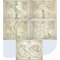
Mappemonde pour l'instruction, / Carte d'Europe pour l'Instruction / Carte d'Afrique Pour l'Instruction, / Carte d'Amérique, Pour l'Instruction. /
Five antique maps, blank with no names written, produced for educational purposes. One showing the world and the four continents: America, Europe, Asia, Africa. Mappemond...
Place & Date: Paris, 1801
Selling price: $113
Sold in 2020
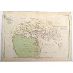
Ancient World according to Herodotus c1802.
An 1802 version of Herodotus's map of the world engraved by E. Bourne Published by R Wilkinson, No58 Cornhill London October 1st 1802.
Place & Date: London, 1802
Selling price: $40
Sold in 2012
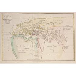
Ancient World according to Herodotus.
An 1802 version of Herodotus's map of the world engraved by E. Bourne Published by R Wilkinson, No58 Cornhill London October 1st 1802.Double page map.
Place & Date: London, 1802
Selling price: $65
Sold in 2016
World map in Mercator's projection.
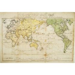
Very rare Ottoman printed map of the world in a Mercator projection, centered on Australia. From "Jedid Atlas Tercümesi or "New Atlas", printed 1218 H. or...
Place & Date: Üsküdar, 1803
Selling price: $5025
Sold
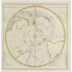
Kaart van het Zuider Halfrond..
A circular chart within a square frame centred on the southern pole.It shows southern parts of South America, South Africa and Madagascar as well as Australia and part of...
Place & Date: Leiden 1795-1803
Selling price: $500
Sold
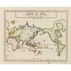
Charte der Erde. Augsburg beij John Walch.
Map showing the world in Mercator projection. Centered on Australia and New Zealand with the European continent is in the right of the map and the American continent in t...
Place & Date: Augsburg, 1803
Selling price: $80
Sold in 2011
MAPPE-MONDE ou CARTE GENERALE de toutes les parties du GLOBE, corrigée et augmentée des Découvertes du Cap. COOK, de celles de la PEROUSE en 1801, de VANCOUVER, de MACKENSIE en 1802 . . .
World map with relief shown pictorially of all areas of the globe discovered by Captain Cook and Pérouse in 1801 as well as by Vancouver and Mackensie in 1802.
Place & Date: Paris, 1804
Selling price: $250
Sold
Mappe-Monde ou Carte Générale de toutes les parties du Globe. . .
A world map on Mercator's projection, the map is divided into 4 parts according to religion: Judaism, Christianity, Islam and Paganism. This map is improved after the dis...
Place & Date: Paris, ca 1804
Selling price: $75
Sold in 2020
Mappe-Monde ou carte Generale..
The map is divided into 4 parts according to religion : Judaism, Christianity, Islam and Paganism. This map is improved after the discoveries of Cook, de la Perouse, Vanc...
Place & Date: Paris ca.1805
Selling price: $97
Sold
Mappe-Monde ou Carte Generale de toutes les Parties connues..
The map is divided into 4 parts according to religion : Judaism, Christianity, Islam and Paganism. This map is improved after the discoveries of Cook, de la Perouse, Vanc...
Place & Date: Paris ca.1805
Selling price: $150
Sold
MAPPE-MONDE ou CARTE GENERALE de toutes les parties du GLOBE, MAPPE-MONDE ou CARTE GÈNÈRALE de toutes les parties du GLOBE, corrigée et augmentée des Découvertes du Cap. COOK, de celles de la PEROUSE en 1801, de VANCOUVER, de MACKENSIE en 1802...
Attractive world map in Mercator projection, including the latest discoveries of Capt. Cook, Pérouse (1801), Vancouver and Mackensie (1802). After Robert de Vaugondy. W...
Place & Date: Paris, 1805
Selling price: $160
Sold in 2011
Mappe-Monde ou Carte Generale de toutes les Parties connues..
The map is divided into 4 parts according to religion : Judaism, Christianity, Islam and Paganism. This map is improved after the discoveries of Cook, de la Perouse, Vanc...
Place & Date: Paris ca.1805
Selling price: $30
Sold in 2018
Mappe-Monde ou Description du Globe Terrestre.
Double hemisphere world map, from Atlas de la Géographie de toutes les parties du monde .. Ouvrage destiné pour l'education, et nécessaire aux négocians, aux voyageur...
Place & Date: Paris, Prudhomme, Levrault, Debray, 1806
Selling price: $140
Sold
Mappe - Monde Par Robert de Vaugondy . . .
Uncommon double hemisphere world map, showing a complete outline for Australia, still called Nouvelle Hollande. With the track of Captain Cook. Published by C.F. Delamarc...
Place & Date: Paris, 1806
Selling price: $250
Sold in 2010
Mappe-Monde ou Carte Générale de toutes les Parties connues..
World map in Mercator projection, the map is divided into 4 parts according to religion : Judaism, Christianity, Islam and Paganism. This map is improved after the discov...
Place & Date: Paris, ca.1806
Selling price: $150
Sold in 2008
Mappe-Monde ou carte générale de toutes les parties du globe, corrigée et augmentée des découvertes du Cap, Cook, de celles de la Pérouse en 1881. de Vancouver, de Mackensie en 1882, auxquelles sont ajoutées celles faites dans la Mer du Sud. . .
Map of the world in a Mercator projection. By C. F. Delamarche, successor of Robert de Vaugondy, Geographer.
Place & Date: Paris, 1794 - 1806
Selling price: $150
Sold in 2013
Mappe-Monde ou carte générale de toutes les parties du globe, corrigée et augmentée des découvertes du Cap, Cook, de celles de la Pérouse en 1881. de Vancouver, de Mackensie en 1882, auxquelles sont ajoutées celles faites dans la Mer du Sud. . .
Map of the world in a Mercator projection. Tasmania joined to Australia's mainland. An oversized Novaya Zemlya (Nova Zembla.) By C. F. Delamarche, the successor of Robert...
Place & Date: Paris, 1794 - 1806
Selling price: $80
Sold in 2011
Hémisphere maritime Hémisphere Terrestre.
Uncommon map with two world projections, with underneath seven text blocks in French.The colored lines are according to the color key showing the tracks of Marco Polo, An...
Place & Date: Florence, M. Landi, 1807
Selling price: $250
Sold in 2011
Map of the World from the Best Authorities.
A fine world map by Brightly & Kinnersly of Suffolk in 1807. This double hemispheric map of the world incorporates the discoveries of Captain Cook from the 1780’s. ...
Place & Date: Suffolk, 1807
Selling price: $30
Sold in 2018
Mappe Monde ou carte Generale de la Terre.
A fine 1807 double hemisphere world map. Published by Blondeau. Continents outlined in color.
Place & Date: Paris, 1807
Selling price: $60
Sold in 2019
A New Map of the World with all the New Discoveries, By Captain Cook & other Navigators Includes the Trade Winds, Monsoons and Variations of the Compass. . .
ONLY RECORDED COPY Rare separately issued broadside map, published in London by George Thompson and dated Jan. 1st, 1808. A two-sheet (655x975mm.) double-hemisphere map o...
Place & Date: London, 1798 but here dated 1808
Selling price: $2275
Sold in 2015
Planisphere ou carte générale du globe par j.B. Poirson. . .
Detailed world map centered on Australia, prepared by J.B.Poirson (1761-1831) in 1810. The map seems to have been used on board of a ship showing its track in the year 18...
Place & Date: Paris, 1810
Selling price: $151
Sold in 2011
Regioni Polari Paragonate. . .
An unusual item, an Italian map of the poles. Information is confined to mountains, rivers, tracks, and some major cities. Unsurprisingly, there is more information about...
Place & Date: Milano, ca 1810
Selling price: $75
Sold in 2021
The World
A fine world map published by Cadell & Davies in London in 1811.It is by John Pinkerton, and from his atlas, the "MODERN GEOGRAPHY".
Place & Date: London, 1811
Selling price: $8
Sold in 2016
The World on Mercator's Projection.
"The World on Mercator's Projection" engraved by Cooper after Alex MacPherson, published in A System of Modern Geography, in 1811. Copper engraved antique map w...
Place & Date: London, ca 1811
Selling price: $85
Sold in 2020
Südliche und Noerdliche Halbkugel der Erde..
Detailed map of the north and south pole projections in double hemisphere, prepared by Friedrich Carl Ludwig Sickler (1773-1836). Printed at the "Geographische Insti...
Place & Date: Weimar 1812
Selling price: $100
Sold
-250x250.jpg)
