Browse Listings in Catch All
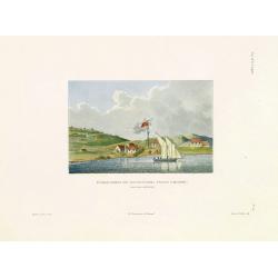
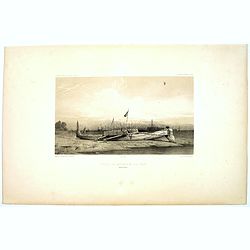
Etablissement des Missionnaires Anglais a Kidikidi (Nouvelle-Zélande)
Original hand colored engraving by Ambroise Tardieu taken from the rare and important book " Voyage autour du Monde, exécuté par ordre du Roi, sur la corvette de s...
Place & Date: Paris, Arthus Bertrand, 1826
Selling price: $575
Sold in 2011
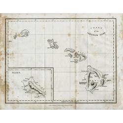
CHART of the SANDWICH ISLES
Uncommon & detailed map of the Hawaiian Islands, indicating elevation with hachure. Includes names of cities, mountains and bays, noting the death of Captain Cook in ...
Place & Date: London, 1826
Selling price: $120
Sold in 2008
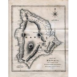
MAP OF HAWAII
Rare map of Hawaii, extremely detailed showing many towns, bays, anchor places, volcanoes and mountains, paths and roads, and missionary stations. Beautifully engraved, d...
Place & Date: London, 1826
Selling price: $160
Sold in 2008
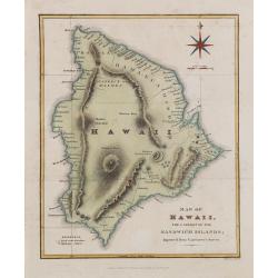
Map of Hawaii, the largest of the Sandwich islands. Improved from Vancouver's Survey.
One of the best early large scale maps of Hawaii island, extremely detailed showing many towns, bays, anchor places, volcanoes and mountains, paths and roads, and mission...
Place & Date: London, 1826
Selling price: $400
Sold in 2017
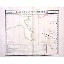
Partie de la Nouvelle Guinée. No31
Highly detailed and important map of the Louisiade Archipelago located just south east of New Guinea. With extensive descriptive text in French. With original hand-colori...
Place & Date: Brussels, 1827
Selling price: $80
Sold in 2011
[ Australian fauna ].
Aquatint depicting local fauna in Australia, engraved by Raineri. Based on 2 plates, nos. 27 and 36, by C.A. Lesueur in: "Voyage de decouvertes aux terres Australes....
Place & Date: Milan, 1827
Selling price: $90
Sold in 2008
[ 3 inhabitants of Van Diemen\'s Land. ]
Aquatint depicting inhabitants of Van Diemen\'s Land, engraved by Castelli. Plate N° 58. Van Diemen\'s Land was the original name used by Europeans for the island of Tas...
Place & Date: Milan, 1827
Selling price: $85
Sold in 2008
[ Three portraits of inhabitants of Van Diemen's Land ].
Aquatint depicting inhabitants of Van Diemen's Land, engraved by Castelli. Plate N° 59. Van Diemen's Land was the original name used by Europeans for the island of Tasma...
Place & Date: Milan, 1827
Selling price: $95
Sold in 2008
[ Inhabitants of Van-Diemen's Land (Vandemonian) around a camp fire ].
Aquatint depicting inhabitants of Van-Diemen's Land around a camp fire, engraved by A.Biasioli. Plate N° 58. Van Diemen's Land was the original name used by Europeans fo...
Place & Date: Milan, 1827
Selling price: $75
Sold in 2008
[ Vandemonian utensils ].
Aquatint depicting an array of "Vandemonian" artifacts, engraved by D.K. Bonatti. Plate N° 62 From Giulio Ferrario's work Le Costume Ancien et Moderne ou Histo...
Place & Date: Milan, 1827
Selling price: $80
Sold in 2008
[ Inhabitants of La Terre d'Endracht ].
Aquatint depicting inhabitants of "La Terre d'Endracht" engraved by Angelo Biasioli (1790-1830). Plate N° 64. "La Terre d'Endracht" or also called at...
Place & Date: Milan, 1827
Selling price: $85
Sold in 2008
[ Inhabitants of Nouvelle Hollande ].
Aquatint depicting inhabitants of Australia, engraved by Castelli. Plate N° 65 From Giulio Ferrario's work Le Costume Ancien et Moderne ou Histoire du gouvernement, de l...
Place & Date: Milan, 1827
Selling price: $110
Sold in 2008
[Inhabitants of the Bay of Dusky - New Zealand].
Aquatint depicting inhabitants of the Bay of Dusky New Zealand. Engraved by D.K. Bonatti, after drawings by Castelli. From Giulio Ferrario's work Le Costume Ancien et Mod...
Place & Date: Milan, 1827
Selling price: $80
Sold in 2008
[Vandemonian dugouts].
Aquatint depicting Vandemonians paddling in pirogues engraved by D.K. Bonatti, after drawings by C. Bottigella. Plate N° 61. Van Diemen\'s Land was the original name use...
Place & Date: Milan, 1827
Selling price: $60
Sold in 2008
[Vandemonian burials].
Aquatint depicting Vandemonian burials engraved by D.K. Bonatti, after drawings by C. Bottigella. Plate N° 63. Van Diemen\'s Land was the original name used by Europeans...
Place & Date: Milan, 1827
Selling price: $100
Sold in 2008
[ Hawaiian traditional head dresses and masks ].
Two aquatints on one sheet depicting Hawaiian traditional headdresses and masks. Engraved by D.K. Bonatti, after drawings by G.Gattina. Plate N° 45 From Giulio Ferrario'...
Place & Date: Milan, 1827
Selling price: $100
Sold in 2012
[ Hawaiian dancer ].
Aquatint depicting a Hawaiian dancer. From Giulio Ferrario's work Le Costume Ancien et Moderne ou Histoire du gouvernement, de la milice, de la religion, des arts, scienc...
Place & Date: Milan, 1827
Selling price: $100
Sold in 2012
[Traditional tools from New Zealand].
Aquatint depicting a variety of traditional tools from New Zealand engraved by Castelli. Plate N°70.From Giulio Ferrario's work Le Costume Ancien et Moderne ou Histoire ...
Place & Date: Milan, 1827
Selling price: $50
Sold in 2020
[ View of the Hippah in New Zealand ].
Aquatint depicting a view of a New Zealand Hippah engraved by Fumagalli. Plate N° 69. From Giulio Ferrario's work Le Costume Ancien et Moderne ou Histoire du gouvernemen...
Place & Date: Milan, 1827
Selling price: $90
Sold in 2012
[ Buccaneers ].
Aquatint depicting a Buccaneer conversing with two other women. Engraved by Bonatti.From Giulio Ferrario's work Le Costume Ancien et Moderne ou Histoire du gouvernement, ...
Place & Date: Milan, 1827
Selling price: $75
Sold in 2020
[ Caribbean indigenous peoples at home ].
Aquatint depicting two prints, one of a couple at home, the other a weaving loom. Engraved by Raineri. From Giulio Ferrario's work Le Costume Ancien et Moderne ou Histoir...
Place & Date: Milan, 1827
Selling price: $31
Sold in 2018
[ The Caribbean cooking utensils and furniture ].
Aquatint depicting two prints printed on two separate plates, one of cooking utensils represented as they are intend to be used, the other an array of caned furniture.Eng...
Place & Date: Milan, 1827
Selling price: $40
Sold in 2014
[Caribbean personal decoration]
Aquatint depicting a typical Caribbean personal decorations engraved by Raineri. From Giulio Ferrario's work "Le Costume Ancien et Moderne ou Histoire du gouvernemen...
Place & Date: Milan, 1827
Selling price: $50
Sold in 2010
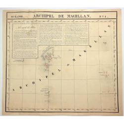
Archipel de Magellan. No. 1
A hand colored, lithographed, large format map of the Bonin and Volcano islands near Japan. The map provides good topographic details. From Vandermaelen's remarkable 6 vo...
Place & Date: Brusselles, 1827
Selling price: $37
Sold in 2018
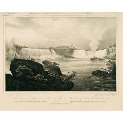
Géneral view of Niagara from the Canada side.
Decorative print after Jacques Milbert, and lithographed by Louis-Julien Jacottet and the figures by Victor Adam, showing the Niagara Falls from the Canadan side.From Am�...
Place & Date: Paris 1829
Selling price: $80
Sold
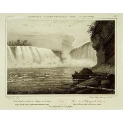
Horse shoe of the Niagara from the Canada side.
Decorative print after Jacques Milbert, and lithographed by Sabatier, showing the Niagara Falls from the Canadan side.From Amérique Septentrionale. Printed by de Bove an...
Place & Date: Paris 1829
Selling price: $80
Sold
Hand-Colored Copper Engraving of Atlas With World On Shoulders.
This is an interesting hand-colored copper engraving of Atlas with the world on his shoulders. The world is a celestial globe.
Place & Date: London, c1830
Selling price: $15
Sold in 2014
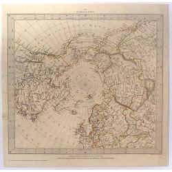
Circumjacent the North Pole.
This map was produced by Society for the Diffusion of Useful Knowledge to update the latest discoveries in the Arctic. The northern regions are fairly well mapped by this...
Place & Date: London, 1831
Selling price: $21
Sold in 2016
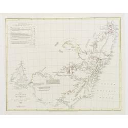
Map of the South East portion of Australia..
Prepared by Major Mitchell and published by J.Murray. Engraved by J.Arrowsmith.Map of New South Wales with in top left a short legend containing Reference to the colors d...
Place & Date: London 1832
Selling price: $375
Sold
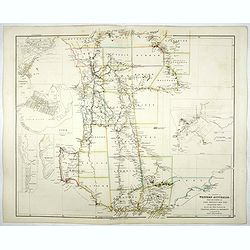
The Colony of Western Australia, from the surveys of John Septimus Roe, Esqr. , Surveyor Genl. and from other Official Documents in the Colonial Office and Admiralty, compiled by John Arrowsmith.
The Colony of Western Australia, with address "London : Pubd. by J. Arrowsmith, 35 Essex Street Strand Octr. 1st. 1839". The state 2 map. The map included the o...
Place & Date: London, 1832
Selling price: $750
Sold in 2019
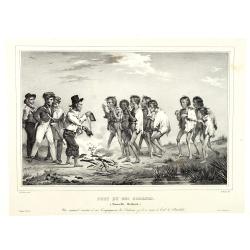
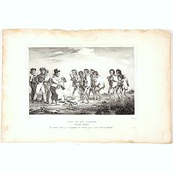
Port du Roi Georges. (Nouvelle Hollande). Un naturel montre à ses compagnons les cadeaux qu'il a reçus à bord de l'Astrolabe.
From 'Voyage de la Corvette l'Astrolabe', the account of Jules Dumont D'Urville's important expedition to the South Seas between 1826 and 1829.After a painting by De Sain...
Place & Date: Langlumé, Paris, 1833
Selling price: $450
Sold in 2011
Baie Jervis (Nouvelle Hollande). Les marins de l'Astrolabe partagent leur pêche avec les naturels.
Lithograph after de Sainson, drawn by Victor-Jean Adam (1801-1866) and lithographed by Langlume. With printed subtitle in French reads 'the sailors of the astrolabe share...
Place & Date: Langlumé, Paris, 1833
Selling price: $200
Sold in 2011
Port du Roi Georges. (Nouvelle Hollande). Un naturel montre à ses compagnons les cadeaux qu'il a reçus à bord de l'Astrolabe.
From 'Voyage de la Corvette l'Astrolabe', the account of Jules Dumont D'Urville's important expedition to the South Seas between 1826 and 1829.After a painting by De Sain...
Place & Date: Langlumé, Paris, 1833
Selling price: $110
Sold in 2020
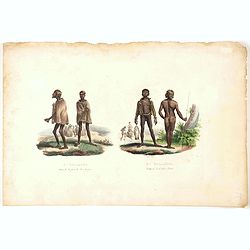
Nle Hollande Naturels du port du Roi Georges. Nle Hollande Naturels de la Baie Jervis.
Aboriginals. From 'Voyage de la Corvette l'Astrolabe', the account of Jules Dumont D'Urville's important expedition to the South Seas between 1826 and 1829.After a painti...
Place & Date: Langlumé, Paris, 1833
Selling price: $100
Sold in 2021
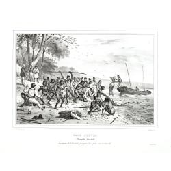
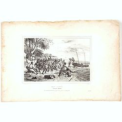
Baie Jervis (Nouvelle Hollande)
View of the French sailors of the Astrolabe share their fishing with the natives in Jervis Bay, New South Wales. From 'Voyage de la Corvette l'Astrolabe', the account of ...
Place & Date: Langlumé, Paris, 1833
Selling price: $120
Sold in 2020
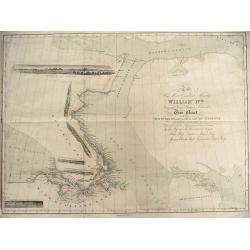
To His Most Excellent Majesty William IVth King of Great Britain Ireland &c. this Chart of the Discoveries Made in the Arctic Regions in 1829, 30, 31, 32 & 33 is Dedicated with his Majesty\'s gracious permission
To His Most Excellent Majesty William IVth King of Great Britain Ireland &c. this Chart of the Discoveries Made in the Arctic Regions in 1829, 30, 31, 32 & 33 is ...
Place & Date: London, 1834
Selling price: $225
Sold in 2013
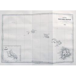
Carte des iles Hawaii...
An excellent early map of Hawaii. With very good detail and many place names. An inset map shows Oahu. A scarce map, probably the earliest map to use the name Hawaii to d...
Place & Date: Paris, 1834
Selling price: $65
Sold in 2017
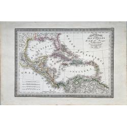
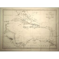
Carte Particulaire des Antilles et du Golfe du Mexique avec L'Isthme de Panema.
A French issue map of the West Indies with an attractive piano keyboard surround. A steel engraving.
Place & Date: Paris, 1834
Selling price: $20
Sold in 2019
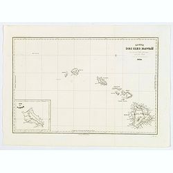
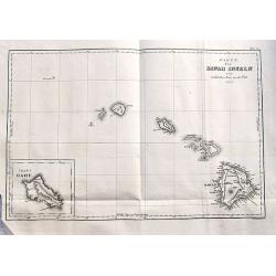
Carte des Iles Hawaii.
A lovely small map of the complete chain of Pacific islands known today as the Hawaiian islands, from Dumont d'Urville's atlas "Voyage pittoresque autour du Monde.&q...
Place & Date: Paris, 1834
Selling price: $160
Sold in 2019
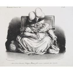
Marie-Louise-Charlotte-Philippine Pairie, fille soumise & patentée par la police. (Plate 452 in la Caricature).
Marie Louise Charlotte Philippine Pairie, prostitute, accredited by the police. An ugly woman, who is the daughter of Louis-Philip, is playing with gold coins. The captio...
Place & Date: Paris, La Caricature, January 1, 1835
Selling price: $400
Sold in 2017
Pour un pauvre américain, s'il vous plait. (For a Poor American, Please)
Lithography published in the newspaper "la Caricature" N°222, plate 463, satire on the reparation asked by the American government after Napoleon's blockade, w...
Place & Date: Paris, 1835
Selling price: $375
Sold in 2017
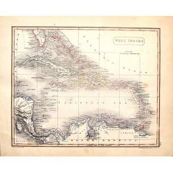
West Indies.
Fine map from Sidney Hall's 1835 "NEW GENERAL ATLAS". The map was drawn by Arrowsmith, engraved by Hall and published by Longman, Rees, Orme Brown & Green i...
Place & Date: London, 1835
Selling price: $51
Sold in 2016
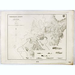
Napa-Kiang Roads in the island of Loo-Choo by Capt. F.W. Beechy RNN FRS. 1827.
Large scale chart of the present day Naha harbour at Okinawa in the Japan Sea. With several coastal profiles, scale and vignette of Hydrographical office. Map nr. 990.Pre...
Place & Date: London, 1835
Selling price: $220
Sold in 2017
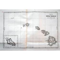
Karte der Hawaii Inseln zur malerischen Reise um die Welt 1835.
An excellent early map of Hawaii. Very good detail with many place names. An inset map shows Oahu. Probably the earliest map to use the name Hawaii to describe the entire...
Place & Date: Paris, 1835
Selling price: $105
Sold in 2016
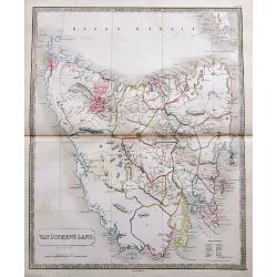
Van Diemen's Land.
A fantastic large scale map of the island with many details, including Police Districts, and names of Landholders.Issued a few years before Van Diemen's Land was granted ...
Place & Date: London, ca. 1835
Selling price: $160
Sold in 2017
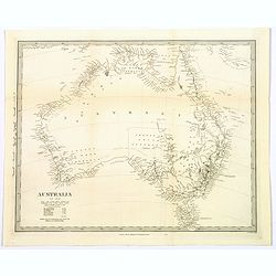
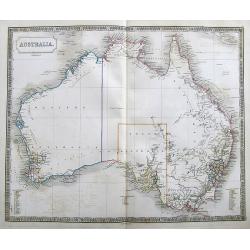
Australia.
Large map of Australia with blank interior but good detail along the coast. Shows dates of discoveries, and names the counties.
Place & Date: London, ca. 1835
Selling price: $130
Sold in 2017
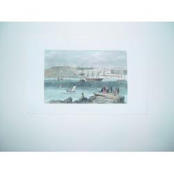
Quebec
A small but beautiful view of Quebec, from a sketch by a New England artist done in the early part of the 19th century. The city's fortifications and a number of principa...
Place & Date: Boston, ca. 1836
Selling price: $60
Sold in 2011
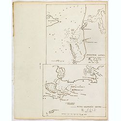
COCKBURN SOUND / KING GEROGES SOUND.
Two finely executed maps in pen drawing in brown ink. Scale is in English miles and soundings. Underneath the title the longitudes and latitudes. In upper part a map of C...
Place & Date: ca, 1836
Selling price: $400
Sold in 2015
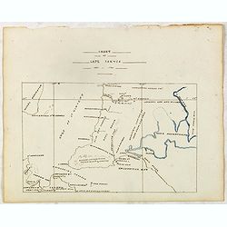
CHART OF CAPE JARVIS 1833 - 1834.
Finely executed pen drawing in brown ink with coast line in Lake Alexandrina in blue color. With Encounter Bay in the bottom and Gulf of St. Vincent to the left. With two...
Place & Date: ca, 1836
Selling price: $160
Sold in 2015
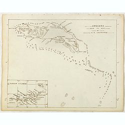
ANEGADA WITH ITS REEF by R.H.Schomburgk.
Finely executed pend drawing in brown ink with coast line and soundings. Scale is in English miles. In lower left corner inset map of Anegada with a majority of the Virgi...
Place & Date: ca, 1836
Selling price: $110
Sold in 2015
Karte der Hawaii Inseln zur malerischen Reise um die Welt 1835.
An excellent early map of Hawaii. With very good detail and many place names.An inset map shows Oahu. A scarce map, probably the earliest map to use the name Hawaii to de...
Place & Date: Paris, 1836
Selling price: $94
Sold in 2017
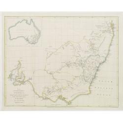
Map of the South East portion of Australia..
Prepared by Major Mitchell and published by J.Murray. Engraved by J.Arrowsmith.Map of New South Wales with in top left inset map of the complete continent.The maps of Aus...
Place & Date: London 1837
Selling price: $400
Sold
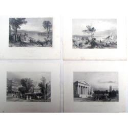
Four Bartlett steel engraving of Northeast City scenes.
Four fine steel engraving prints by William Bartlett. Included are: - THE GOTHIC CHURCH (NEWHAVEN) - HALLSTON SPRINGS - WILKESBARRE - THE NARROWS (FROM FORT HAMILTON)...
Place & Date: London, 1837
Selling price: $20
Sold in 2017
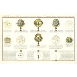
Tableau Analitique des différens systemes du monde. . .
The illustrated globes and spheres are similar to the ones sold by Delamarche. Also depicting Sun, Moon and several positions. Engraved by Pelicier.Uncommon, with the dat...
Place & Date: Paris, 1838
Selling price: $100
Sold in 2011
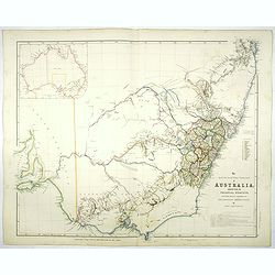
The South Eastern portion of Australia compiled from the Colonial surveys, and from details furnished by exploratory expeditions by John Arrowsmith.
Early 1838 state of this important map of the South Eastern portion of Australia. By 1839 John Arrowsmith had produced one of his replacement maps, "The South Easter...
Place & Date: London, 1838
Selling price: $950
Sold in 2017
Van Diemans Land [Tasmania].
A superb, large scale steel engraved map of what is today called Tasmania, an island to the far south off the Australian Mainland. Then, as now, the west coast is largely...
Place & Date: London, 1839
Selling price: $305
Sold in 2017
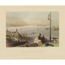
View from the Citadel of Quebec.
Fine view of the city of Quebec. Engraved by R.Wallis, published by G.Virtne.
Place & Date: London, 1840
Selling price: $55
Sold in 2012
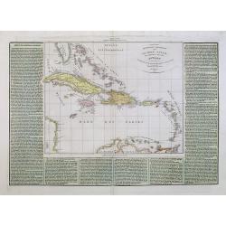
Arcipelago Colombiano cioe Le Isole Lucaje Le Grandi e Piccole Antille.
A rare and detailed double-page map of the Caribbean. The map is surrounded by an explanatory historical text about the countries in a green hand colored background color...
Place & Date: Venice, 1840
Selling price: $170
Sold in 2021
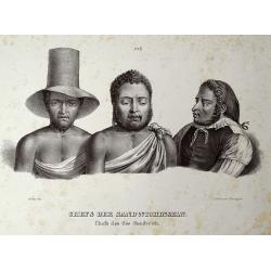
CHEFS DER SANDWICHINSELN.
Rare lithograph illustrating native chiefs of Hawaii. Numbered 26, published in "Naturgeschichte und Abbildungen des Menschen" by Schinz. Important Hawaii...
Place & Date: Switzerland, c1840
Selling price: $41
Sold in 2011
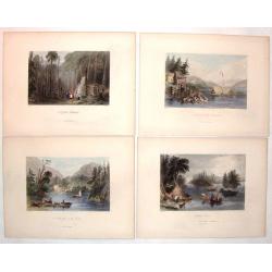
(Four hand-colored Bartlett Engravings of Canadian Country Scenes.)
Included are four scenes of Canada including:- "Indian Scene" engraved by J.C. Armatage,- "A First Settlement" engraved by J.C. Bentley,- "A Lake...
Place & Date: New York, ca. 1840
Selling price: $25
Sold in 2019
Carta Delle Indie Occidentali, per Servire Viaggi di Christoforo Colombo.
Interesting and informative map of the West Indies including the detailed voyages of Christopher Columbus. The map is by Francesco Marmocchi and is in Italian text. Fran...
Place & Date: Italy 1840
Selling price: $90
Sold in 2019
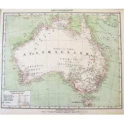
Australland.
Very interesting map of Australia showing the dates of discovery of the different regions. With a legend of the colonies in 1841, with number of inhabitants and size. Mos...
Place & Date: Glogau, 1841
Selling price: $83
Sold in 2012
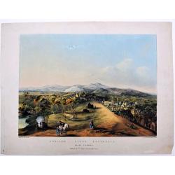
Adelaide, South Australia. North Terrace.
This very attractive print of the North Terrace of Adelaide is based on a painting by Edward Opie (1810–1894), a British painter, in 1840. The location of the painting ...
Place & Date: London, (?) 1841
Selling price: $1400
Sold in 2020
Montreal from the Mountain (Montreal, Vu de la Montagne)
A beautifully defined view of Montreal taken from a drawing produced in the 1830s. The city's principal sites are clearly visible. Numerous marine vessels are shown on th...
Place & Date: London, 1842
Selling price: $45
Sold in 2010
Bartlett steel Engravings - four Canadian country scenes.
Four fine steel engraving prints by William Bartlett. Included are: - MONTMORENCY BRIDGE - A SHANTY ON LAKE CHAUDIERE - FREDERICTON - LAKE OF THE TWO MOUNTAINS Will...
Place & Date: London, 1842
Selling price: $16
Sold in 2018
Pirogue des Naturelles de L'Ile Toud.
A wonderful lithograph of a Torres Strait canoe, with oars, rudder and decoration. Plate 190 taken from the 'Voyage au Pole et dans L'Oceanie…' Departing in late 1837 i...
Place & Date: Paris, 1842
Selling price: $30
Sold in 2019
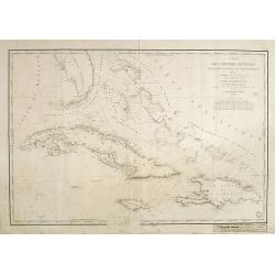
Carte des Grandes Antilles (Cuba, Haïti, Jamaïque, Archipel de Bahama..
Decorative focused on the Greater Antilles. Showing towns, banks, isles and soundings made in metres.Relief shown by hachures. Prepared by M. Keller, hydrographer and en...
Place & Date: Paris, 1843
Selling price: $300
Sold in 2018
Australien. / Australland. [2 maps]
Detailed map of Australia. With index to the different ,colonies, with number of inhabitants and size.Lithography by A.Theimert and printed by C.Flemming. Border lines ar...
Place & Date: Glogau, 1844
Selling price: $95
Sold in 2011
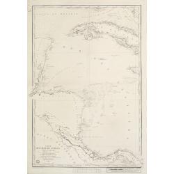
Carte de la Mer des Antilles - Partie Occidentale. . .
Decorative focused on the western part of the Caribbean Sea.Showing towns, banks, isles and soundings indicated in metres. Relief shown by hachures.Engraved by Chassant....
Place & Date: Paris, 1844
Selling price: $250
Sold in 2020
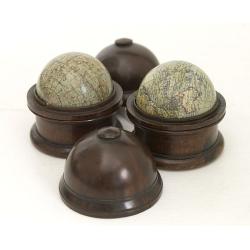
A pair of English 3-inch globes.
With pasted label on each globe with the complete titles on each : - MALBY'S Terrestrial Globe Compiled from the GLOBES of the SOCIETY FOR THE DIFF[?]. OF USEF[??] KNOWLE...
Place & Date: London, 1844
Selling price: $5000
Sold in 2016
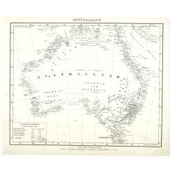
Australland.
Detailed map of Australia. With index to the different colonies in 1841, with number of inhabitants and size.Lithography by A.Theimert and printed by C.Flemming.
Place & Date: Glogau, 1844
Selling price: $80
Sold in 2011
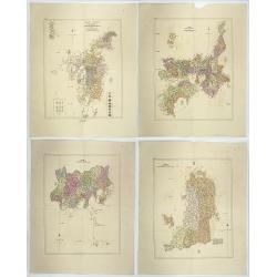
Nippon io tsi ko Tei sen-Tsu.
Four geographical maps of the islands of Japan entitled: Nippon io tsi ko Tei sen-Tsu. . These charts include 3 large islands of Japan: NIPPON, KIOUSIOU and SIKOKF with t...
Place & Date: Japon, 1844
Selling price: $1000
Sold in 2020
Entrée de la Baie des Isles (Nouvelle Zélande)
Drawn by L. Le Breton and engraved by Ph. Blanchard.
Place & Date: Paris, Gide, 1846
Selling price: $160
Sold in 2008
Carte des iles Antilles ?
Second edition of this map of the Caribbean islands.
Place & Date: Paris, 1846
Selling price: $55
Sold in 2009
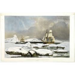
Les Corvettes Louvoyant dans l'intérieur de Banquise le 5 février 1838
Exquisite contemporary colored lithograph of the L'Astrolabe and the Zéléé between ice banks on 5 February 1838. Drawn by E.Goupil, lithographed by Sabatier and Mayer....
Place & Date: Paris, 1846
Selling price: $500
Sold in 2011
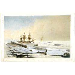
Les Corvettes se halant dans les glaces de la banquise 6 février 1838
Exquisite contemporary colored lithograph of the L'Astrolabe and the Zéléé between ice banks on 6 February 1838. Drawn by E.Goupil, lithographed by Sabatier and Mayer....
Place & Date: Paris, 1846
Selling price: $500
Sold in 2011
Australia.
An uncolored map of the continent of Australia in 1846, from the S.D.U.K. publication. The map identifies the years and names of the explorers who discovered the land, in...
Place & Date: London, 1846
Selling price: $80
Sold in 2017
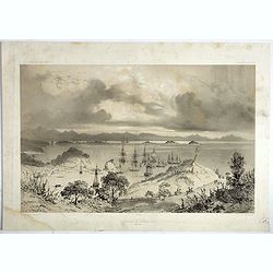
Mouillage de Korora-Reka (Baie des Isles)
Kororareka looking across the bay. Drawn by L. Le Breton and engraved by Sabatier, from "Voyage au Pôle Sud et dans l'Océanie".Louis Le Breton (1818 Douarnene...
Place & Date: Paris, Lemercier, 1846
Selling price: $170
Sold in 2018
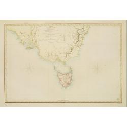
Carte de la Tasmanie et des terres environnantes..
Map of Tasmania, also giving good detail in the south eastern tip of the mainland. Showing Sydney, Botany Bay, etyc. Prepared by C.A. Vincendon-Dumoulin. Most information...
Place & Date: Paris 1847
Selling price: $550
Sold
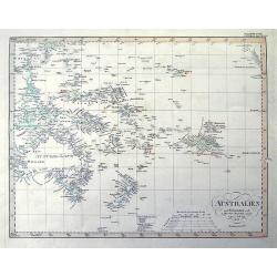
AUSTRALIEN nach Krusenstern...
A fantastic steel engraved map of Australia and the Pacific. Published in Stieler's Hand-Atlas.Dated 1826 but updated until 1847 with superb geography and exact details. ...
Place & Date: Gotha, 1847
Selling price: $46
Sold in 2011
![[ Australian fauna ].](/uploads/cache/25848-250x250.jpg)
![[ 3 inhabitants of Van Diemen\'s Land. ]](/uploads/cache/25849-250x250.jpg)
![[ Three portraits of inhabitants of Van Diemen's Land ].](/uploads/cache/25850-250x250.jpg)
![[ Inhabitants of Van-Diemen's Land (Vandemonian) around a camp fire ].](/uploads/cache/25851-250x250.jpg)
![[ Vandemonian utensils ].](/uploads/cache/25854-250x250.jpg)
![[ Inhabitants of La Terre d'Endracht ].](/uploads/cache/25855-250x250.jpg)
![[ Inhabitants of Nouvelle Hollande ].](/uploads/cache/25856-250x250.jpg)
![[Inhabitants of the Bay of Dusky - New Zealand].](/uploads/cache/25858-250x250.jpg)
![[Vandemonian dugouts].](/uploads/cache/25852-250x250.jpg)
![[Vandemonian burials].](/uploads/cache/25853-250x250.jpg)
![[ Hawaiian traditional head dresses and masks ].](/uploads/cache/26260-250x250.jpg)
![[ Hawaiian dancer ].](/uploads/cache/26261-250x250.jpg)
![[Traditional tools from New Zealand].](/uploads/cache/26368-250x250.jpg)
![[ View of the Hippah in New Zealand ].](/uploads/cache/26369-250x250.jpg)
![[ Buccaneers ].](/uploads/cache/27339-250x250.jpg)
![[ Caribbean indigenous peoples at home ].](/uploads/cache/27331-250x250.jpg)
![[ The Caribbean cooking utensils and furniture ].](/uploads/cache/27334-250x250.jpg)
![[Caribbean personal decoration]](/uploads/cache/27232-250x250.jpg)


![Van Diemans Land [Tasmania].](/uploads/cache/38942-250x250.jpg)
![Australien. / Australland. [2 maps]](/uploads/cache/12646-(1)-250x250.jpg)
