Lot #: 36566
Listing ID: #28884 has been added to your wishlist.
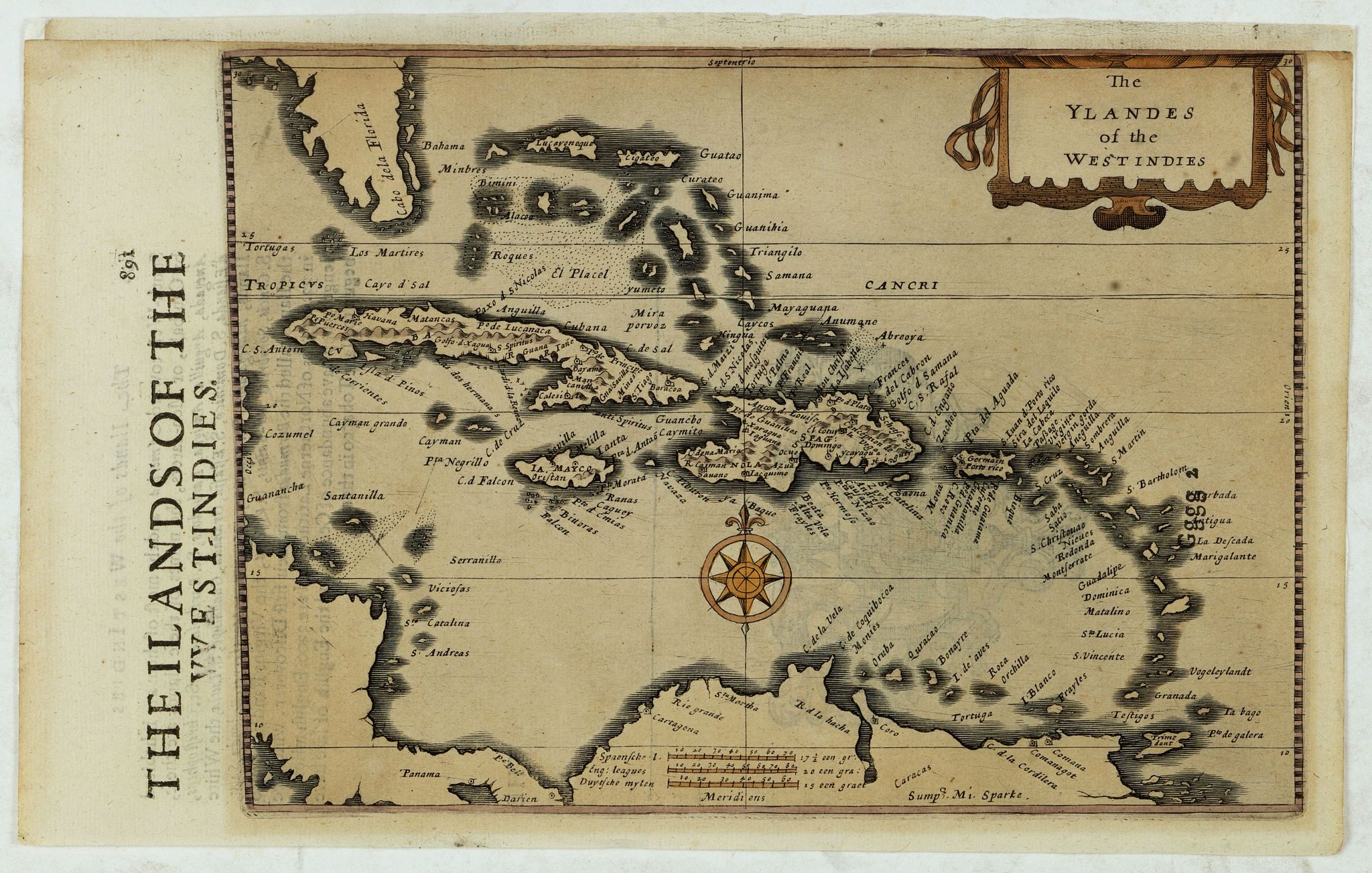
The Ylandes of the West Indies. |
||||||||||||||||||||
|
||||||||||||||||||||
|
|
||||||||||||||||||||
|
Selling price: $400
Sold in 2019 |
Views: 167
|
|||||||||||||||||||
Description
Rare map of the West Indies or Caribbean islands from Florida to the northern part of South America. Cartographic elements include degrees of latitude, compass rose, sea banks or shoals, and scale.
Reference: V.d. Krogt, Atlantes Neerlandici, volume IIIB, 9600:351.
Included in "Historia Mundi or Mercator Atlas, Containing his Cosmographicall descriptions. . .", published by Michaell Sparke and Samuell Cartwright. In 1635, Michael Sparke, bookseller in London from 1616 to 1653, published an English edition of Mercator's Atlas".
The map is printed over the map code "Gggg2" which is still visible east of St. Bartholom".
Reference: V.d. Krogt, Atlantes Neerlandici, volume IIIB, 9600:351.