Browse Listings in Antique Maps > America > Continent
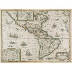
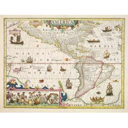
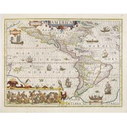
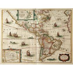
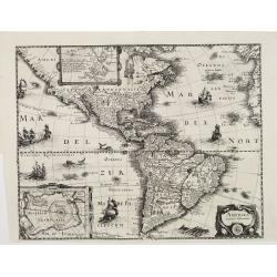
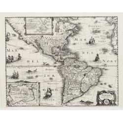
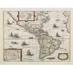
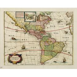
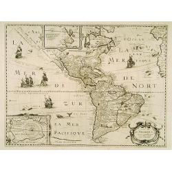
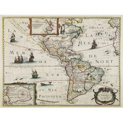
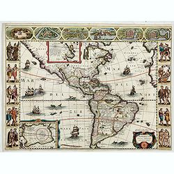
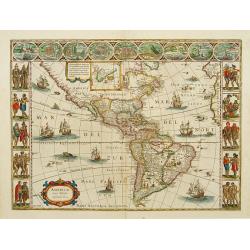
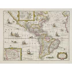
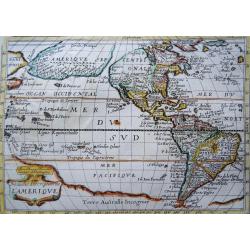
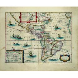
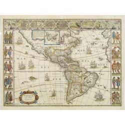
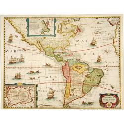
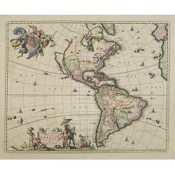
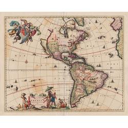
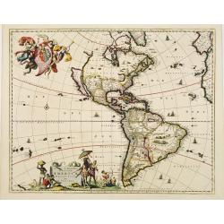
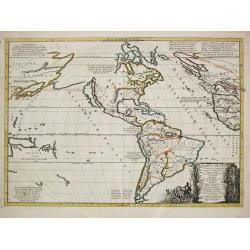
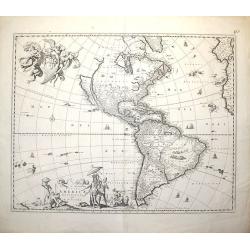
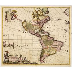
Carte de L'Amerique, corrigée et augmentée desus toutes les aultres cy deuant faictes par P.Bertius.
Rare map of America in a first state. The map itself is derived from the Jodocus Hondius map of 1618, however the southern coast of Tierra del Fuego now completed. The en...
Place & Date: Paris, 1627
Selling price: $1750
Sold in 2018
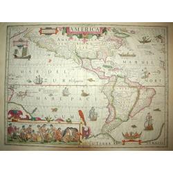
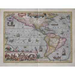
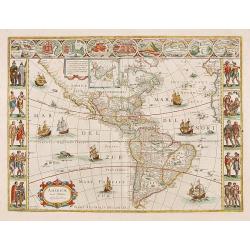
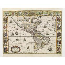
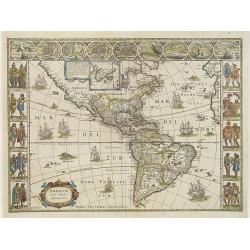
AMERICA
An stunning example of this monument to early cartography. This is one of a handful of the early foundation maps of North and South America. It has the famed inset of the...
Place & Date: Amsterdam (1606 ) - 1628
Selling price: $3400
Sold
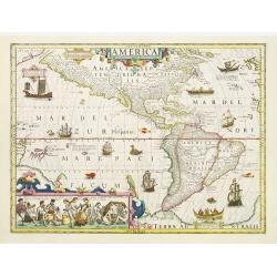
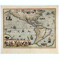
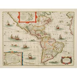
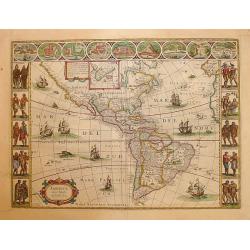
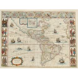
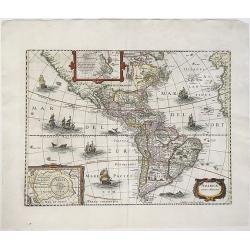
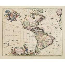
America.
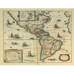
Jodocus Hondius's fine delineation of the Americas is probably the most attractive map of the Western Hemisphere in the Mercator/Hondius/Janssonius succession. A clarity ...
Place & Date: Amsterdam 1628
Selling price: $4100
Sold in 2011
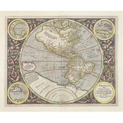
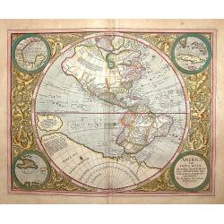
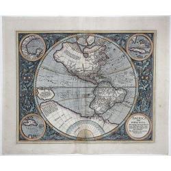
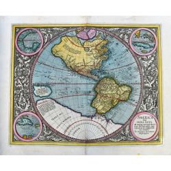
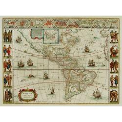
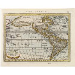
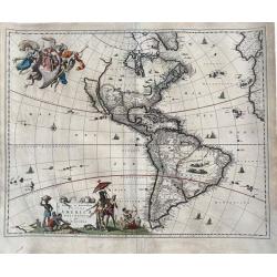
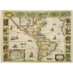
America sive India Nova.
The map's geography is based on the appropriate portions of Rumold Mercator's 1569 world map. The central hemisphere, which is a general map of the two continents, is sur...
Place & Date: Amsterdam, 1628
Selling price: $4600
Sold in 2009
America.
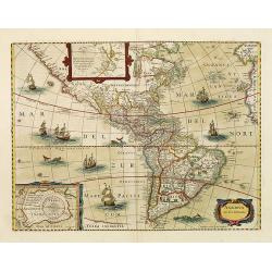
Jodocus Hondius fine delineation of the Americas is probably the most attractive map of the Western Hemisphere in the Mercator/Hondius/Janssonius succession. A clarity of...
Place & Date: Amsterdam, 1628
Selling price: $4000
Sold in 2015
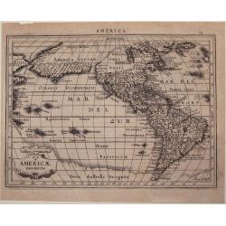
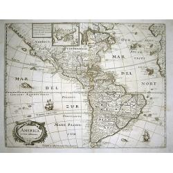
America./ Americae Descriptio.
Map of America from 'Atlas Minor Gerardi Mercatoris', engraved by Abraham Goos. Joannes Jansson created a completely new set of small formatted maps to be included in the...
Place & Date: Amsterdam, 1628
Selling price: $150
Sold in 2016
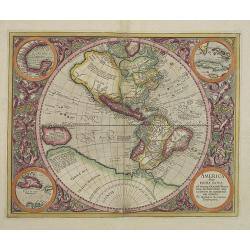
America sive India Nova.
The map's geography is based on the appropriate portions of Rumold Mercator's 1569 world map. The central hemisphere, which is a general map of the two continents, is sur...
Place & Date: Amsterdam 1630
Selling price: $4500
Sold
America sive India Nova.
The map's geography is based on the appropriate portions of Rumold Mercator's 1569 world map. The central hemisphere, which is a general map of the two continents, is sur...
Place & Date: Amsterdam, 1610 -1630
Selling price: $3100
Sold in 2010
America.
A very nice map from America. The inset shows native Brazilians brewing beer.Mercator was born in Rupelmonde in Flanders and studied in Louvain under Gamma Friskies, Dutc...
Place & Date: Amsterdam, 1630
Selling price: $3800
Sold in 2009
AMERICA
A spectacular map of the Americas at the beginning of European settlement in North America. This map provides considerable, interesting detail on European knowledge and ...
Place & Date: Amsterdam, (1606) 1630
Selling price: $4300
Sold
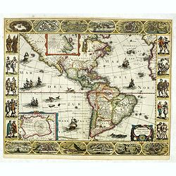
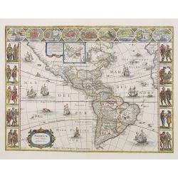
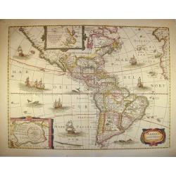
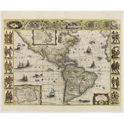
America noviter delineata. Auct: Judoco Hondio.
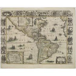
Fine map of the American continent with insets of the South and North Pole on the left hand side.Panels on the left, right and top borders, as in the Blaeu Americas. Note...
Place & Date: Amsterdam, 1630
Selling price: $7400
Sold in 2016
AMERICA TRUE INDIA NOVA ad magna Gerardi Mercatoris aui Vniversalis imitationem in compendi. Um redacta.
A copperplate full hand colored map of American continent. The map's geography is based on the appropriate portions of Rumold Mercator's 1569 world map.The central hemisp...
Place & Date: Amsterdam, 1610-1630
Selling price: $1200
Sold in 2017
America noviter delineata.
America map from the rare Cloppenburg edition slightly larger format and more scarce edition of the Mercator/Hondius "Atlas Minor". Engraved by Pieter Van Den K...
Place & Date: Amsterdam, 1630
Selling price: $350
Sold in 2018
America sive India Nova.
A great example of one of the most famous maps of the Americas. The only known printed map by Gerard Mercator's grandson Michael! Richly decorated by a beautifully engrav...
Place & Date: Amsterdam, ca. 1613-1630
Selling price: $1800
Sold in 2020
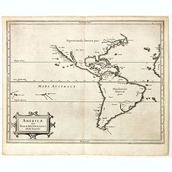
Americae sive Indiae Occidentalis.
Hessel Gerritsz. the author and probable engraver of the map had seen maps of California as an island, but he relies on the more trustworthy accounts, such as Herrera, in...
Place & Date: Leiden, Elzevier, 1630
Selling price: $500
Sold in 2019
America.
A very nice map of America. The inset shows native Brazilians brewing beer. Mercator was born in Rupelmonde in Flanders and studied in Louvain under Gamma Friskies, Dutch...
Place & Date: Amsterdam, 1630
Selling price: $2800
Sold in 2022
America noviter delineata.
With inset details of the North and South Poles, and several ships and sea-monsters. Hondius shows the imaginary island of Frisland, Southeast of Iceland, and gives Picar...
Place & Date: Amsterdam 1631
Selling price: $1875
Sold
America noviter delineata.
A stunning impression of this uncommon version of Jodocus Hondius influential map of 1617, but lacking the decorative borders. With inset details of the North and South P...
Place & Date: Frankfurt 1631
Selling price: $1500
Sold
America noviter delineata.
This is the uncommon, larger version of Marian's map of the Americas. Marian's bold engraving style copies the cartography of Jodocus Hondius' map of 1631.North America i...
Place & Date: Amsterdam 1631
Selling price: $1650
Sold
America noviter delineata.
This map was originally one map of a separate-issue set of world and continents with decorative borders first published in 1618. After the death of the elder son of Jodoc...
Place & Date: Amsterdam, 1631
Selling price: $1800
Sold in 2008
America noviter delineata.
With inset details of the North and South Poles and gives Picart's version of Tierra del Fuego and several ships and sea monsters. The map is derived from that by Jodocus...
Place & Date: Frankfurt, 1631
Selling price: $700
Sold in 2008
America noviter delineata.
This map was originally one map of a separate-issue set of world and continents with decorative borders first published in 1618. After the death of the elder son of Jodoc...
Place & Date: Amsterdam, 1631
Selling price: $1300
Sold in 2013
America noviter delineata.
With inset details of the North and South Poles, and several ships and sea-monsters. Hondius shows the imaginary island of Frisland, Southeast of Iceland, and gives Picar...
Place & Date: Amsterdam, 1632
Selling price: $1600
Sold in 2008
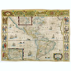
America noviter delineata. Auct. Judoco Hondio. / Ioannes Janssonius Excudit.
Third state of this very rare "carte à figures" - map. It is most easily distinguished by the chipped top right hand corner of the plate that appears in virtua...
Place & Date: Amsterdam, 1632
Selling price: $4200
Sold in 2011
America noviter delineata.
An attractive, detailed and early map of the Americas from the rare Cloppenburg edition slightly larger format and more scarce edition of the Mercator/Hondius "Atlas...
Place & Date: Amsterdam, 1632
Selling price: $250
Sold in 2013
America noviter delineata. Auct: Judoco Hondio.
Very rare "carte à figures"- map of America first issued by Jan Janssonius in 1623. The American continent with insets of the South and North Pole on the left ...
Place & Date: Amsterdam, 1632
Selling price: $2200
Sold in 2012
Americae Nova Tabula.
Very rare variant. of the map of the figured borders Western hemisphere by Blaeu. Remains of the figured borders are still visible. During the printing process the figure...
Place & Date: Amsterdam 1633
Selling price: $1800
Sold
Americae Nova Tabula.
The delineation of the coast and the nomenclature on both the Pacific and Atlantic coasts are basically Spanish in origin and follow the maps of Ortelius and Wytfliet. To...
Place & Date: Amsterdam 1633
Selling price: $2000
Sold
Americae Nova Tabula.
The delineation of the coast and the nomenclature on both the Pacific and Atlantic coasts are basically Spanish in origin and follow the maps of Ortelius and Wytfliet. To...
Place & Date: Amsterdam, 1635
Selling price: $4500
Sold in 2010
America noviter delineata.
An important map of the Western Hemisphere. Derived from Jodocus Hondius' map of 1618.Very detailed, filled with place names. With many curious geographical errors of the...
Place & Date: Frankfurt, 1638
Selling price: $750
Sold in 2010
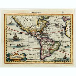
Carte de L'Amerique. . .
The map is based on the Jodocus Hondius map of 1618. The entire west coast of North America, including nomenclature, is erased and replaced by a dotted coastline with the...
Place & Date: Paris, 1640
Selling price: $2000
Sold in 2016
America noviter delineata.
With inset details of the North and South Poles, and several ships and sea-monsters. Hondius shows the imaginary island of Frisland, Southeast of Iceland, and gives Picar...
Place & Date: Amsterdam 1640
Selling price: $1900
Sold
Carte de L'Amerique Corrigee et augmentee dessus toutes les autres . . .
Very rare map of the Americas engraved by Michel van Lochom. A second state who clearly shows signs of reworking and Burden believes that it is the same as that of 1624 l...
Place & Date: Paris, 1640
Selling price: $1750
Sold in 2016
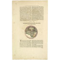
Circumferentia terrae continet miliaria germanica 5400, italica vero 21600.
Text page from "Introduction" of a Blaeu Atlas, Chapter VII. "De la division du Globe en 360 parties: du circuit de la terre, de sa longeur & largeur.T...
Place & Date: Amsterdam, c.1640
Selling price: $450
Sold in 2014
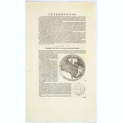
Circumferentia terrae continet miliaria germanica 5400, italica vero 21600.
The map of the Western hemisphere has a banner text "Circumferentia terrae continet miliaria germanica 5400, italica vero 21600". On verso a globe with climates...
Place & Date: Amsterdam, ca. 1640
Selling price: $110
Sold in 2023
America noviter delineata.
With inset details of the North and South Poles, and several ships and sea-monsters. Hondius shows the imaginary island of Frisland, Southeast of Iceland, and gives Picar...
Place & Date: Amsterdam, 1642
Selling price: $700
Sold in 2011
America noviter delineata.
Very rare map of America separately published. This derivative map by Nicolas Picart is based upon the second state of Janssonius' map of 1623, after the lower border had...
Place & Date: Paris, 1644
Selling price: $4000
Sold in 2023
Americae Nova Tabula.
The delineation of the coast and the nomenclature on both the Pacific and Atlantic coasts are basically Spanish in origin and follow the maps of Ortelius and Wytfliet. To...
Place & Date: Amsterdam 1645
Selling price: $8275
Sold
Americae Nova Tabula.
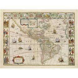
One of the best known and sought after seventeenth century maps of America. Blaeu?s famous ?carte a figures? map of America is regarded as a high point in Dutch cartograp...
Place & Date: Amsterdam 1645
Selling price: $8275
Sold
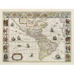
Americae Nova Tabula.
One of the best known and sought after seventeenth century maps of America. Blaeu's famous carte à figure map of America is regarded as a high point in Dutch cartography...
Place & Date: Amsterdam 1645
Selling price: $6525
Sold
Americae Nova Tabula.
One of the best known and sought after seventeenth century maps of America. Blaeu's famous carte a figures map of America is regarded as a high point in Dutch cartography...
Place & Date: Amsterdam 1645
Selling price: $6480
Sold
Americae Nova Tabula.
One of the best known and sought after seventeenth century maps of America. Blaeu's famous carte a figure map of America is regarded as a high point in Dutch cartography....
Place & Date: Amsterdam, 1645
Selling price: $4900
Sold
Americae Nova Tabula.
Blaeu's America, with extensive gold highlights. Blaeu's famous map of America is flanked by panels on three sides. People of Virginia, Florida, California, and South Am...
Place & Date: Amsterdam, ca. 1645
Selling price: $6500
Sold in 2008
Americae Descriptio.
Detailed miniature map of the Americas, from a German text edition of his Atlas Minor. Engraved by A. Goos.
Place & Date: Amsterdam (1628) 1648
Selling price: $300
Sold
America noviter delineata.
This map was originally one map of a separate-issued set of world and continents with decorative borders first published in 1618. After the death of the elder son of Jodo...
Place & Date: Amsterdam, 1649
Selling price: $1200
Sold in 2014
Nouvelle Description de l´Amerique
Extremely rare mid 17th century French map of North and South America (and Antarctica) by the French cartographer Tassin. Published in Paris by Berey in 1651 in ´Carte g...
Place & Date: Paris, 1651
Selling price: $550
Sold in 2023
AMERICAE / Descriptio Nova/ Impensis/ Henrici seile/ Will: Trevethen. Sculp/ 1652.
The first state of Henry Seile's map of the Americas, from Peter Heylin's ' Cosmographie '. Reference: Burden, North America, entry and plate 308.
Place & Date: London, 1652
Selling price: $950
Sold in 2010
America noviter delineata.
Johannes Janssonius's map of North, Middle and South America. Title in a cartouche at bottom right; beneath it the impressum: 'Amstekodami, Excudit Ioannes Ianssonius'.Sh...
Place & Date: Amsterdam, ca 1652
Selling price: $1480
Sold in 2020
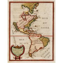
La division de Locean du Nouveau Monde.
California is shown as a large island with nearly flat northern coast with two place names, C.de Mondouno and C.S. Luc. Blank to the north.From "Parallela geographia...
Place & Date: Paris, 1653
Selling price: $400
Sold in 2017
AMERICA / noviter delineata / Auct: Henrico Hondio 1641 / Amstelodami, Excudit Ioannes Ianssonius
A decorative, original color map of North and South America by the famed Hondius publishing house. This map is noted for its elegant engraving and pleasing layout.Th...
Place & Date: Amsterdam, (1618) 1646-1657
Selling price: $2100
Sold in 2013
Novissima et accuratissima Totius Americae descriptio..
"""A map of importance...it became the standard representation of North America for a number of years and was copied by other Dutch and English publishers....
Place & Date: Amsterdam 1658
Selling price: $2500
Sold
Americae Nova Tabula.
The delineation of the coast and the nomenclature on both the Pacific and Atlantic coasts are basically Spanish in origin and follow the maps of Ortelius and Wytfliet. To...
Place & Date: Amsterdam, 1658
Selling price: $7800
Sold
Americae Nova Tabula.
The delineation of the coast and the nomenclature on both the Pacific and Atlantic coasts are basically Spanish in origin and follow the maps of Ortelius and Wytfliet. To...
Place & Date: Amsterdam, 1658
Selling price: $4300
Sold
Americae Nova Tabula.
The delineation of the coast and the nomenclature on both the Pacific and Atlantic coasts are basically Spanish in origin and follow the maps of Ortelius and Wytfliet. To...
Place & Date: Amsterdam, 1658
Selling price: $5500
Sold in 2015
Novissima et accuratissima Totius Americae. . .
The second state with privilege along the lower margin. A map of importance. . . it became the standard representation of North America for a number of years and was copi...
Place & Date: Amsterdam, 1658
Selling price: $1800
Sold in 2013
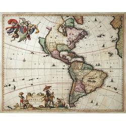
Novissima et Accuratissima Totius Americae Descriptio per N. Visscher.
An extremely decorative, large and famous map of the Western Hemisphere, showing California as an Island and noticeably, at the lower left corner, a small part of New Zea...
Place & Date: Amsterdm, 1658
Selling price: $1190
Sold in 2020
America noviter delineata.
Rare map of the America's published in Pierre D'Avity's Les Etats, Empires Royaumes...du Monde... The plate was engraved with figured borders on three sides and is drawn ...
Place & Date: Paris, 1659
Selling price: $2000
Sold in 2016
America noviter delineata.
Extremely rare map of the America's published in Pierre D'Avity's Les Etats... With figured borders on three sides and drawn from the Picart map of 1644, itself derived f...
Place & Date: Paris 1659
Selling price: $3100
Sold
America noviter delineata. Auct: Judoco Hondio.
Fine map of the American continent with insets of the South and North Pole on the left hand side.Panels on the left, right and top borders, as in the Blaeu Americas. Note...
Place & Date: Amsterdam 1659
Selling price: $3600
Sold
America noviter delineata.
Rare map of the America's published in Pierre D'Avity's Les Etats... With figured borders on three sides and drawn from the Picart map of 1644, itself derived from the se...
Place & Date: Paris, 1659
Selling price: $1450
Sold in 2014
America noviter delineata.
Rare map of the America's published in Pierre D'Avity's Les Etats... With figured borders on three sides and drawn from the Picart map of 1644, itself derived from the se...
Place & Date: Paris, 1659
Selling price: $4500
Sold in 2016
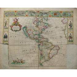
A New Plaine and Exact Map of America.
A very rare map with portraits and views on all sides, published by Robert Walton (1618-1688), London, ca. 1660. Second State.Robert Walton was one of a handful of map pu...
Place & Date: London, 1660
Selling price: $7500
Sold in 2020
America.
Rare map of America, showing California as an island after the Briggs model. The continent is clearly after Visscher, c.1658 with the Blaeu type of depiction of the Great...
Place & Date: Wolfenbüttel 1661
Selling price: $280
Sold
America.
Map of America with California as an island. Interesting map from a German edition of Philipp Clüver's famous Introductionis in Universam geographicam, first published i...
Place & Date: Wolfenbüttel, ca. 1661
Selling price: $130
Sold in 2021
America.
Interesting map from a German edition of Philipp Clüver's famous Introductionis in Universam geographicam, first published in Leiden in 1624. Philipp Clüver (1580-1623)...
Place & Date: Wolfenbüttel, ca. 1661
Selling price: $100
Sold in 2008
Americae Nova Tabula.
A wide paper copy, probably from his famous Atlas Major. The delineation of the coast and the nomenclature on both the Pacific and Atlantic coasts are basically Spanish i...
Place & Date: Amsterdam, 1663
Selling price: $4100
Sold in 2011
Americae nova Descriptio.
Charming little map of the North and South American continents, made by Gabriel Bucelin (1599-1681). In lower left corner part of the large southern continent "Terra...
Place & Date: Ulm, Johannes Görlin, 1658-1664
Selling price: $230
Sold in 2008
Americæ descriptio nova.
This map shows California as an island. A re-engraved version of a map previously published for Henri Seille in 1652. The map appears in Peter Heylyn's “Cosmography in ...
Place & Date: London, 1666
Selling price: $150
Sold in 2018
Novissima et Accuratissima Totius Americae Descriptio.
Visscher\'s map of the Americas, this decorative map greatly influenced the cartography of the Americas both geographically and artistically.Although it did not provide m...
Place & Date: Amsterdam, 1670
Selling price: $1400
Sold in 2009
Nova totius americae descriptio.
Very rare continent map of the America's. The map is not dated on the map, but it is from approx 1670.It is a rare map because it has never been issued in a regular atlas...
Place & Date: Amsterdam, 1670
Selling price: $600
Sold in 2012
Novissima et Accuratissima Totius Americae Descriptio.
Visscher's map of the Americas, this decorative map greatly influenced the cartography of the Americas both geographically and artistically.Although it did not provide mu...
Place & Date: Amsterdam, 1670
Selling price: $1200
Sold in 2013
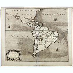
Mappa Fluxus et reflxurationes in Isthmus America . . .
Very unusual map depicting all of South America and most of North America. The map is total devoid of political detail with the exception that the floating city of Mexico...
Place & Date: Leiden, 1670
Selling price: $800
Sold in 2016
Novissima et Accuratissima Totius Americae Descriptio.
Nice dark impression of John Ogilby's decorative map of America and the Pacific, including New Zealand and California as an island.Engraved by Francis Lamb. Ogilby's map ...
Place & Date: London, 1671
Selling price: $1700
Sold in 2012
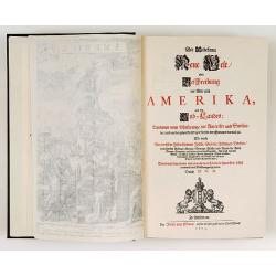
Die Unbekante Neue Welt oder Beschreibung des Welt-teils America
German text edition of the greatest illustrated book on America of the seventeenth century. Included are a large folding map of the western hemisphere as well as maps of ...
Place & Date: Amsterdam 1673
Selling price: $6700
Sold
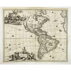
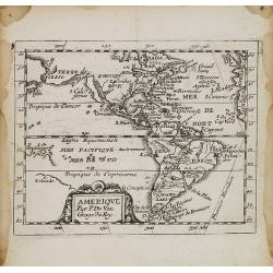
Amerique.
Uncommon miniature map of North and South America, showing California as an island with flat northern coast. Suggestion of D.d'Anien to north of California. Large Terre d...
Place & Date: Paris, 1676
Selling price: $220
Sold in 2021
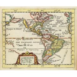
Amérique.
Uncommon miniature map of the Americas from Pierre Duval\'s La Geographie Universeille dated 1676. Following his Cartes de geographie in 1657, Pierre Duval published this...
Place & Date: Paris, 1676
Selling price: $210
Sold in 2008
Novissima et Accuratissima Totius Americae Descriptio.
Second state of Visscher's map of the Americas, this decorative map greatly influenced the cartography of the Americas both geographically and artistically.Although it di...
Place & Date: Amsterdam 1677
Selling price: $2100
Sold
Atlantis Insula, a Nicoloa Sanson.
Nicolas Sanson's map of the Americas, published by his son Guillaume. In the Pacific the discoveries of Abel Tasman, Tasmania and New Zealand are depicted.California show...
Place & Date: Paris, c.1677
Selling price: $475
Sold in 2020
Novissima et Accuratissima Totius Americae Descriptio per N. Visscher
Second state, with the privilege in lower part. Insular California.A map of importance...it became the standard representation of North America for a number of years and ...
Place & Date: Amsterdam, c.1677
Selling price: $2000
Sold in 2008
Novissima et Accuratissima Totius Americae Descriptio.
Second state of Visscher's map of the Americas, this decorative map greatly influenced the cartography of the Americas both geographically and artistically.Although it di...
Place & Date: Amsterdam, 1677
Selling price: $800
Sold in 2013
