Browse Listings in Antique Maps > America > Continent
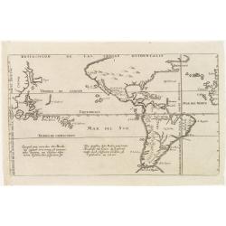
Totius AMERICAE Septentrionalis et Meridionalis novissima represestatio quam ex fingulis. . .
A richly ornamented map of North and South America. Title cartouche bottom left is copied from De Fer's map of 1699 and the cartouche containing text (top left) is based ...
Place & Date: Nuremberg, 1740
Selling price: $600
Sold in 2020
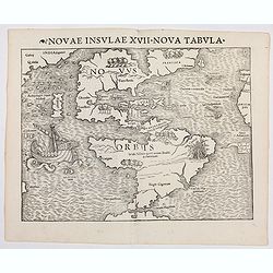
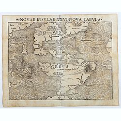
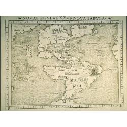
Novae Insulae XXVI Nova Tabula (America)
Rare first state of Münster's map of America which is the earliest map to show both continents of America and the first to use Magellan’s name, Mare Pacificum (Pacific...
Place & Date: Basel, (1540) 1542
Selling price: $6250
Sold in 2022
Novae Insulae XXVI Nova Tabula (America)
Rare second state of Münster's map of America which is the earliest map to show both continents of America and the first to use Magellan’s name, Mare Pacificum (Pacifi...
Place & Date: Basel, Heinrich Petri, 1545
Selling price: $3500
Sold in 2017
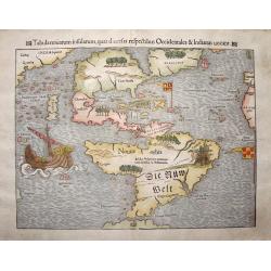
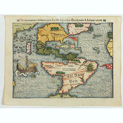
Tabula novarum insularum, quas diversis respectibus Occidentalis et Indianas vocant.
The earliest separate map to show both North and South America. One of the first maps also to include Japan, and the first to refer to Mare Pacificum or the Pacific Ocean...
Place & Date: Basle, 1550
Selling price: $9100
Sold in 2013
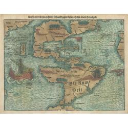
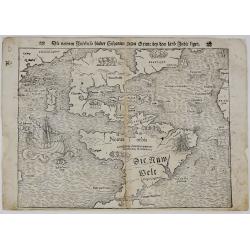
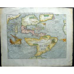
Die Neuwen Inseln so Hinder Hispanien Gegen Orient bey dem Land Indie Ligen
This is an authentic, antique map of the Western Hemisphere showing North and South America connected as true continents. It is the 5th state example published out of Bas...
Place & Date: Basel, 1550
Selling price: $4500
Sold in 2023
Novae Insulae XXVI Nova Tabula.
The earliest separate map of the western hemisphere, first published in the 1540 edition of Münster's "Geographia" and reprinted for subsequent editions of the...
Place & Date: Basel, 1552
Selling price: $4200
Sold in 2011
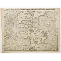
La table des Isles neufves, lequelles on appelle isles d'occident & d'Indie pour divers regardz
The rare 1552 edition of Münster's map showing all of North and South America. Münster's map is the earliest map to show all of the continent of America and the first t...
Place & Date: Basel, 1552
Selling price: $2800
Sold in 2018
Tabula novarum insularum, quas diversis respectibus Occidentales & Indianas vocant.
The earliest separate map of the western hemisphere. State 5 of the Latin text edition incorporating the words 'Die Nüw Welt' in South America. It was first published in...
Place & Date: Basel, 1552
Selling price: $4000
Sold in 2023
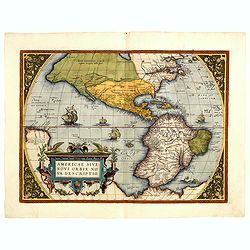
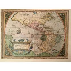
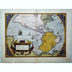
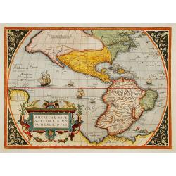
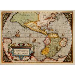
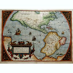
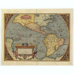
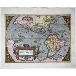
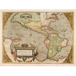
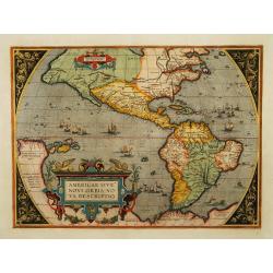
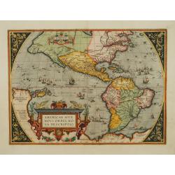
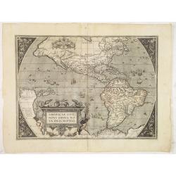
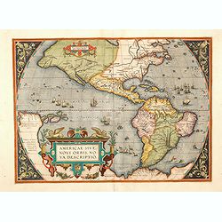
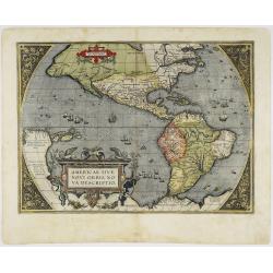
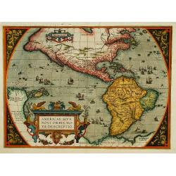
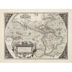
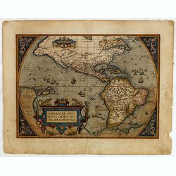
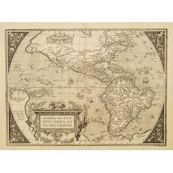
Americae Sive Novi Orbis, Nova Descriptio.
This is the second state of the first copperplate of Ortelius' map showing the western hemisphere, showing the prominent bulge in the South American coastline. An importa...
Place & Date: Antwerp, 1573
Selling price: $3800
Sold in 2014
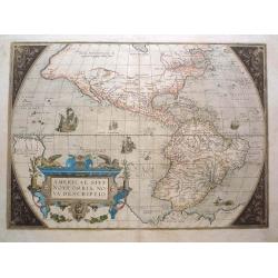
Americae Sive Novi Orbis, Nova Descripto.
A finely engraved and beautiful map and one of the most recognised and influential maps of the Americas from the 16th century. This example is from an early state of the ...
Place & Date: Antwerp, 1573
Selling price: $1350
Sold in 2019
Americae Sive Novi Orbis, Nova Descriptio.
This is the second state of the first copperplate of Ortelius' map showing the western hemisphere, showing the prominent bulge in the South American coastline. An importa...
Place & Date: Antwerp, 1574
Selling price: $4600
Sold in 2015
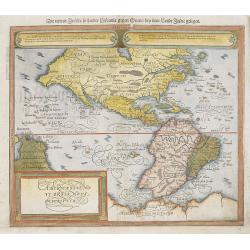
Die neüwen Inseln/ so hinder Hispanien gegen Orient bey dem land Indie ligen.
The earliest and one of the most important separate maps to show both Americas. Although it was not the first map to use “America” as a designation for the New World,...
Place & Date: Basle, 1574
Selling price: $2900
Sold in 2019
Americae Sive Novi Orbis, Nova Descriptio.
This is the third state of the first copperplate of Ortelius' map showing the western hemisphere, showing the prominent bulge in the South American coastline. An importan...
Place & Date: Antwerp 1575
Selling price: $3925
Sold
America. Die Neüwen Inseln so hinder Hispanien gegen Orient, bey dem Landt Indie ligen.
A very rare state of the earliest separate map to show both North and South America. One of the first maps also to include Japan, and the first to refer to "Mare Pac...
Place & Date: Basel, 1578
Selling price: $2100
Sold in 2018
Americae Sive Novi Orbis, Nova Descriptio.
This is the second copperplate of Ortelius' map showing the western hemisphere, showing the largest ships in the Pacific sailing eastward and the prominent bulge in the S...
Place & Date: Antwerp 1579
Selling price: $4426
Sold
Americae Sive Novi Orbis, Nova Descriptio. . .
This is the second copperplate of Ortelius' map showing the western hemisphere, showing the largest ships in the Pacific sailing eastward and the prominent bulge in the S...
Place & Date: Antwerp 1579
Selling price: $2800
Sold in 2017
Americae sive Novi Orbis Nova Descriptio.
A derivative of Mercator's large map published the year before, this is the second plate of Ortelius's map of the Americas, with the ship in the Pacific sailing East ward...
Place & Date: Antwerp, 1579
Selling price: $3500
Sold in 2016
Americae Sive Novi Orbis Nova Descriptio.
Beautifully colored map of the Americas from the 1579 edition of Ortelius’ Theatrum Orbis Terrarum, the first modern atlas of the world. In this second edition, the or...
Place & Date: Antwerp, 1579
Selling price: $3150
Sold in 2015
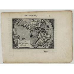
Americae sive Novi Orbis Nova Descriptio.
A rare miniature map of North and South America based on Ortelius' larger map, ornamented with two sailing ships and a delicate floral framing. This is the second edition...
Place & Date: Antwerp, 1579
Selling price: $550
Sold in 2020
Americae Sive Novi Orbis, Nova Descriptio.
This is the third edition of Ortelius' map landmark map of the Americas showing the western hemisphere, and showing a prominent bulge in the South American coastline. An ...
Place & Date: Antwerp, 1579
Selling price: $3500
Sold in 2022
[Native Americans meeting Vespucci]
"On recto an early representation of Vespucci meeting native Americans (92x142mm).From a French text edition of his ""Geographia"", that great co...
Place & Date: Basle 1550-1580
Selling price: $20
Sold
[UNTITLED] Indians of America and Africa.
Rare representation of Indians. A set of 6 couples with titles below. Each couple with traditional clothing, some of the males with bow and arrow. After Abraham de Bruyn....
Place & Date: Antwerp, 1581
Selling price: $100
Sold in 2013
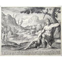
America, sive Bresilia. . .
print of America. By Jan Sadeler after Theodor Bernard.
Place & Date: Amsterdam, ca 1581
Selling price: $250
Sold in 2018
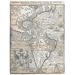
Brevis exactaq totius novi orbis eiusq insularum descriptio recens edita
Woodcut map of the Americas, which was published in three states. The first in Antwerp by Iuan Steelsio in 1554 in “La Historia General de las Indias”, written by the...
Place & Date: Antwerp, 1566, 1567 or 1583
Selling price: $4100
Sold in 2023
Americae Sive Novi Orbis.
This is the third state of the famous Ortelius map showing the western hemisphere without the prominent bulge in the South American coastline.
Place & Date: Antwerp, 1587
Selling price: $3500
Sold in 2016
Americae sive novi orbis, nova descriptio.
In 1587, a new plate was engraved which appeared in editions from 1588 onwards. Of the three maps, this one is perhaps the most important. It is the most geographically a...
Place & Date: Antwerp, 1587
Selling price: $4200
Sold in 2018
Americae Sive Novi Orbis, Nova Descriptio.
Third plate, state 1. In 1587, a new plate was engraved which appeared in editions from 1588 onward. Of the three maps, this one is perhaps the most important. Geographic...
Place & Date: Anvers, 1588
Selling price: $5000
Sold
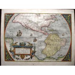
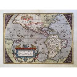
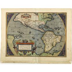
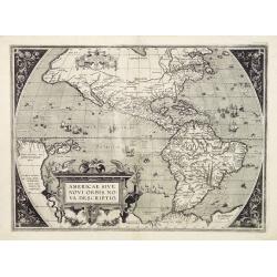
Americae sive Novi Orbis, Nova Descriptio [Spanish text edition]
One of the most famous and decorative maps of America. In 1587, a new plate was engraved which appeared in editions from 1588 onwards. Of the three maps, this one is perh...
Place & Date: Antwerp, (1587) 1588
Selling price: $4000
Sold in 2011
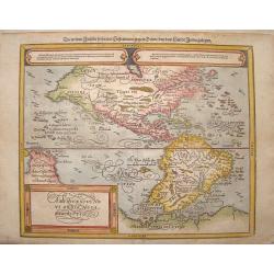
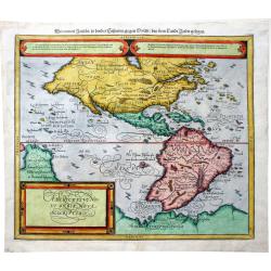
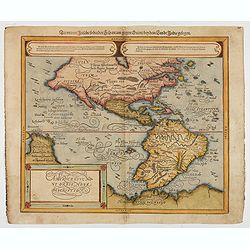
Americae Sive Novi Orbis Nova Descriptio. Die newen inseln so hinder Hispaniam gegen Orient, bey dem landt Indie gelegen
Nicely colored map of North and South America. Two elongated oval cartouches across the top with gothic German text and a finely decorated title cartouche to the bottom l...
Place & Date: Basle, Henri Petrie, 1588
Selling price: $1250
Sold in 2013
Americae Sive Novi Orbis Nova Descriptio. / Die newen inseln so hinder Hispaniam gegen Orient . . .
Sebastian Münster (1489-1552) is one of the most renowned cartographers of the sixteenth century, Mercator and Ortelius are considered at the same level. Munster's two m...
Place & Date: Basle, 1588
Selling price: $1205
Sold in 2019
Americae Sive Novi Orbis, Nova Descriptio
Woodcut map by based on Abraham Ortelius' classic map of 1570, with the huge bulge in the southwest coastline of South America, the Ortelian western coastline of North Am...
Place & Date: Basel, ca.1588
Selling price: $1200
Sold in 2022
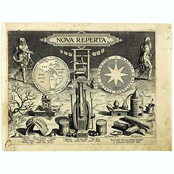
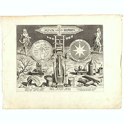
Nova reperta.
Title-page from a series of twenty prints illustrating new inventions and discoveries (Nova Reperta) after Jan van der Straet. Lettered on image: 'NOVA REPERTA'; on left ...
Place & Date: Antwerp, Philips Galle, c. 1590
Selling price: $700
Sold in 2018
Americae sive Novi Orbis, Nova Descriptio.
An engraved map of the Americas, image 357 x 493 mm (452 x 550 mm sheet). Elaborate baroque title cartouche, may ships and sea-monster, Italian text on verso. One of the ...
Place & Date: Antwerp, 1593
Selling price: $2700
Sold in 2020
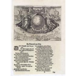
Americae Retectio (Allegory of the Discovery of America)
Allegorical scene commemorating the discovery of America. The main image shows Neptune, supporting a Globe, flanked by Flora-representing Florence, and Janus-representing...
Place & Date: Frankfurt, 1594
Selling price: $850
Sold in 2015
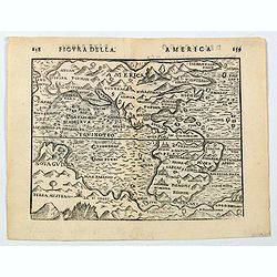
America.
A nice late 16th century, finely engraved map of America, published in Bologna in 1594 by Giuseppi Rossaccio. The map is interesting for the fact of its number of curious...
Place & Date: Bologna, ca. 1594
Selling price: $250
Sold in 2020
Americae sive novi orbis, nova descriptio.
In 1587, a new plate was engraved which appeared in editions from 1588 onwards. Of the three maps, this one is perhaps the most important. It is the most geographically a...
Place & Date: Antwerp 1595
Selling price: $6225
Sold
Americae sive novi orbis, nova descriptio.
In 1587, a new plate was engraved which appeared in editions from 1588 onwards. Of the three maps, this one is perhaps the most important. It is the most geographically a...
Place & Date: Antwerp 1595
Selling price: $4525
Sold
Americae sive novi orbis, nova descriptio.
In 1587, a new plate was engraved which appeared in editions from 1588 onwards. Of the three maps, this one is perhaps the most important. It is the most geographically a...
Place & Date: Antwerp 1595
Selling price: $4000
Sold
Americae sive novi orbis, nova descriptio.
In 1587, a new plate was engraved which appeared in editions from 1588 onwards. Of the three maps, this one is perhaps the most important. It is the most geographically a...
Place & Date: Antwerp, 1595
Selling price: $2600
Sold in 2013
Americae sive novi orbis, nova descriptio.
In 1587, a new plate was engraved which appeared in editions from 1588 onwards. Of the three maps, this one is perhaps the most important. It is the most geographically a...
Place & Date: Antwerp, 1595
Selling price: $5200
Sold in 2014
Americae Sive Novi Orbis Nova Descriptio.
A beautiful colored map of the America continent which comes from the Latin edition of Theatrum Orbis Terrarum by Abraham Ortelius. This is the third plate that Ortelius ...
Place & Date: Antwerp, 1595
Selling price: $3500
Sold in 2020
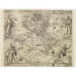
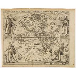
America sive novus orbis respectu Europaeorum inferior globi terrestris pars 1596.
An especially rare and beautiful hemisphere map of the Americas, with exquisite calligraphy and superb portraits of Columbus, Magellan, Vespucci and Pizarro adorning the ...
Place & Date: Frankfurt 1596
Selling price: $6200
Sold
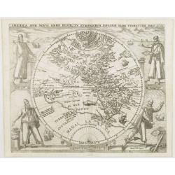
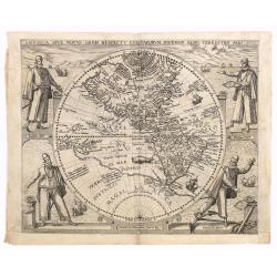
America sive novus orbis respectu Europaeorum inferior globi terrestris pars 1596.
An especially rare and beautiful hemisphere map of the Americas, with exquisite calligraphy and superb portraits of Columbus, Magellan, Vespucci and Pizarro adorning the ...
Place & Date: Frankfurt, 1596
Selling price: $9000
Sold
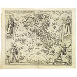
America sive novus orbis respectu Europaeorum inferior globi terrestris pars 1596.
An especially rare and beautiful hemisphere map of the Americas, with exquisite calligraphy and superb portraits of Columbus, Magellan, Vespucci and Pizarro adorning the ...
Place & Date: Frankfurt, 1596
Selling price: $8700
Sold in 2013
America sive novus orbis respectu Europaeorum inferior globi terrestris pars 1596.
An especially rare and beautiful hemisphere map of the Americas, with exquisite calligraphy and superb portraits of Columbus, Magellan, Vespucci and Pizarro adorning the ...
Place & Date: Frankfurt, 1596
Selling price: $6500
Sold in 2010
America sive novus orbis respectu Europaeorum inferior globi terrestris pars 1596.
An especially rare and beautiful hemisphere map of the Americas, with exquisite calligraphy and superb portraits of Columbus, Magellan, Vespucci and Pizarro adorning the ...
Place & Date: Frankfurt, 1596
Selling price: $7200
Sold in 2018
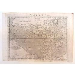
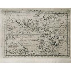
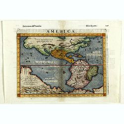
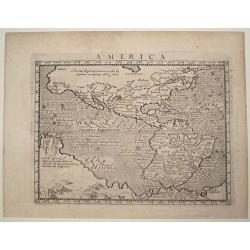
America.
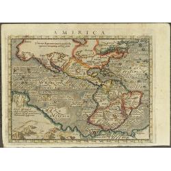
Copper engraved map; overall size 14 x 20 cm by Giovanni Antonio Magini, from the: 'Geographiae Universae'. According to Burden, this is a reduced version of a map by d...
Place & Date: Venice, 1596
Selling price: $325
Sold in 2015
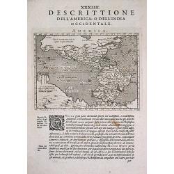
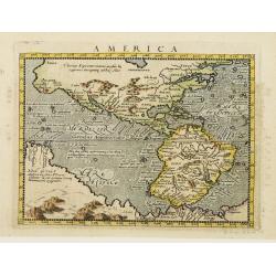
Antique map of the Americas / America.
An Girolano Porro elegantly engraved map of the Americas, from Giovanni Antonio Magini's edition of Ptolemy's 'Geography', titled 'Geographia Universae'.
Place & Date: Venice, 1596
Selling price: $550
Sold in 2017
Nova Reperta.
Title-page from a series of twenty prints illustrating new inventions and discoveries (Nova Reperta) after Jan van der Straet. Lettered on image: 'NOVA REPERTA,' on left ...
Place & Date: Antwerp, 1596
Selling price: $900
Sold in 2018
America.
A very attractive map of the American continent by Magini with a large area called ‘Nova Guinea’ and an uninterrupted coastline of the Arctic circle. This is a reduce...
Place & Date: Venice, 1596
Selling price: $281
Sold in 2019
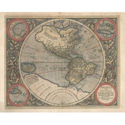
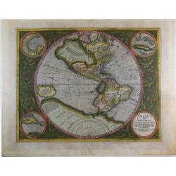
America sive India Nova ad magnae Gerardi Mercatoris...
This is the only know printed map attributed to Michael Mercator, grandson of Gerard. The stunning map of the Americas is based on Rumold Mercator's world map of 1587, bu...
Place & Date: Amsterdam, 1596
Selling price: $1600
Sold in 2024
America.
A very attractive map. This is a reduced version of Giovanni d'Anian's 1582 Map of America.The geography is derived mainly from Ortelius' earlier map of the Western Hemis...
Place & Date: Cologne 1597
Selling price: $325
Sold
(America)
An engraved map, consisting of the right hand part of a two sheet map of the Americas. Fausto Rughesi, a native of Montepulicano, is best known as Roman architect, his ma...
Place & Date: Rome, c.1597
Selling price: $18000
Sold in 2019
Americae pars magis cognita.
Very early and RARE map of Central and South America by Theodore de Bry. In the third part of his Grand Voyages Theodore de Bry publishes the accounts of the voyages of J...
Place & Date: Frankfurt 1598
Selling price: $6425
Sold
Americae Sive Novi Orbis, Nova Descriptio
Woodcut map by based on Abraham Ortelius' classic map of 1570, with the huge bulge in the southwest coastline of South America, the Ortelian western coastline of North Am...
Place & Date: Basel 1598
Selling price: $1200
Sold
Americae Sive Novi Orbis, Nova Descriptio.
In 1587, a new plate was engraved which appeared in editions from 1588 onwards. Of the three maps, this one is perhaps the most important. Geographically, it is the most ...
Place & Date: Antwerp, 1598
Selling price: $3300
Sold
Americae Sive Novi Orbis, Nova Descriptio.
Woodcut map by based on Abraham Ortelius' classic map of 1570, with the huge bulge in the southwest coastline of South America, the Ortelian western coastline of North Am...
Place & Date: Basel 1598
Selling price: $1000
Sold in 2010
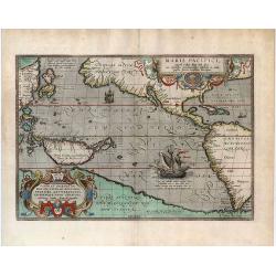
Maris Pacifici, (quod vulgo Mar del Zur) cum regionibus circumiacentibus, insulisque in codem passim sparsis, novissima descriptio.
"One of the most important maps that appeared in the Ortelius atlases, this was the first printed map to be devoted to the Pacific Ocean, the discovery of which is r...
Place & Date: Antwerp, 1598
Selling price: $5500
Sold in 2020
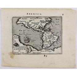
America sive novvs.
Scarce miniature map of the Americas. From the second series of miniature atlas of Ortelius' Epitome. A new series of pocket-size atlases was begun by Philip Galle in 158...
Place & Date: Antwerp, 1598
Selling price: $500
Sold in 2012
America.
Fine 1598 edition of this early map of America. Girolamo Ruscelli first published the map in his "La Geographi di Claudio Tolomeo" (Venice, 1561), with the pres...
Place & Date: Venice, 1598
Selling price: $700
Sold in 2018
America Sive India Nova.
The famous Michael Mercator hemispherical Americas map of 1595, based on his grandfather Rumold Mercator's world map. One of the most important and beautifully engraved e...
Place & Date: Amsterdam, c.1600
Selling price: $4800
Sold in 2014
America sive Novus Orbis.
The miniature map of North and South America based on Ortelius' larger map, ornamented with sailing ship. It comes from Latin edition of pocket-size atlas "Epitome T...
Place & Date: Antwerp, 1601
Selling price: $400
Sold in 2020
Americae sive novi orbis, nova descriptio.
In 1587, a new plate was engraved which appeared in editions from 1588 onwards. Of the three maps, this one is perhaps the most important. It is the most geographically a...
Place & Date: Antwerp 1602
Selling price: $3300
Sold
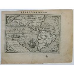
Western Hemisphere.
Scarce early miniature map of America from the 1602 Ortelius Epitome Theatri Orbis Terrarum. Virginia and California are named and spurious rivers in North America are sh...
Place & Date: Antwerp, 1602
Selling price: $300
Sold in 2014
Americae sive novi orbis, nova descriptio.
In 1587, a new plate was engraved which appeared in editions from 1588 onwards. Of the three maps, this one is perhaps the most important. It is the most geographically a...
Place & Date: Antwerp, 1602
Selling price: $4100
Sold in 2015
America
Beautiful old hand colored engraved map of America. Based on Giovanni d'Anian's Map of America from 1582. Compared to the Western Hemisphere map from Ortelius, Magini inc...
Place & Date: Cologne, 1604
Selling price: $900
Sold in 2008
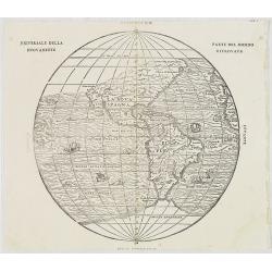
Universale Della Nuovamente. Parte Del Mondo Ritrovata.
Ramusio's map of the Western Hemisphere is the earliest obtainable map to accurately depict the Americas. Printed from block 2. The map is attributed to Giacomo Gastaldi....
Place & Date: Venice, 1565-1606
Selling price: $2570
Sold in 2009
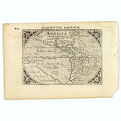
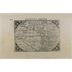
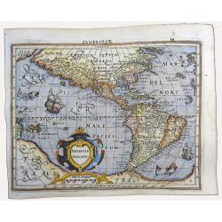
Descriptio Americae.
An attractive miniature map of the continent of the Americas, published by Petrus Bertius, in Amsterdam at the beginning of the seventeenth century.The classic map depict...
Place & Date: Amsterdam, 1606
Selling price: $150
Sold in 2019
Descriptio Americae.
An miniature map of America continents by Cornelis Claesz – Barent Langenes, with cartography based on that of Ortelius, engraved by Jodocus Hondius, and published by P...
Place & Date: Amsterdam, 1606
Selling price: $400
Sold in 2020
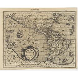
Americae Descrip.
Map of America from the first French-text edition of Jodocus Hondius' Atlas Minor.Shortly after the publication of the big folio-atlases the need was apparently felt for ...
Place & Date: Amsterdam, 1608
Selling price: $350
Sold in 2016
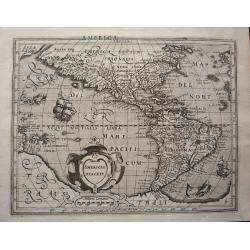
Americae Descrip.
Verso Latin text. An intricate and beautiful map of North and South America as well as parts of the Atlantic and Pacific Ocean.
Place & Date: Amsterdam, ca. 1610
Selling price: $600
Sold in 2013
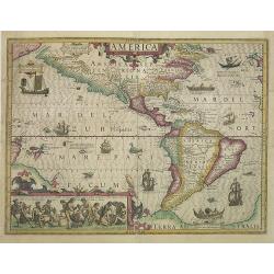
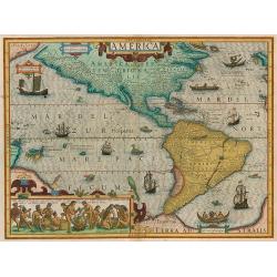
America.
A very nice map from America, first published in 1606 and used till 1630. This example published in 1613, one year after the death of Jodocus Hondius I. The inset shows n...
Place & Date: Amsterdam, 1606 - 1613
Selling price: $3650
Sold in 2009
Americae Descrip
Excellent early map of the Americas, based upon early maps by Mercator and Hondius.Interesting feature of the map is the Northwest Coast of America, which pre-dates Hondi...
Place & Date: Amsterdam, 1613
Selling price: $600
Sold in 2023
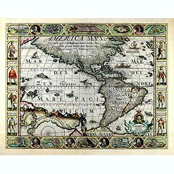
AMERICAE NOVA DESCRIPTIO
FIRST State of Pieter Van Den Keere's rare Carte a figures of America -- The First Single Sheet Map of America to include decorative panels. This first state (of six) of ...
Place & Date: Amsterdam, 1614
Selling price: $6700
Sold in 2019
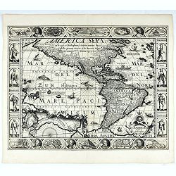
Americae Nova Descriptio
FIRST State of Pieter Van Den Keere's rare Carte a figures of America -- The First Single Sheet Map of America to include decorative panels. This first state (of six) of ...
Place & Date: Amsterdam, 1614
Selling price: $10000
Sold
America.
Map of America from Magini's 'Geographiae Universae', printed by Petrus Keschedt, containing a completely new set of maps, derived from the earlier Italian edition. Accor...
Place & Date: Cologne, 1617
Selling price: $300
Sold in 2015
Descripcion de las Indias Ocidentalis.
De Bry's version of this important map by Antonio de Herrera y Tordesillas with cartography based on the manuscript charts of Juan Lopez de Velasco.It depicts the Papal l...
Place & Date: Frankfurt 1619
Selling price: $900
Sold
America
Jodocus Hondius's fine delineation of the Americas is probably the most attractive map of the Western Hemisphere in the Mercator/Hondius/Janssonius succession. A clarity ...
Place & Date: Amsterdam, 1619
Selling price: $3900
Sold in 2010
Americae sive Novi Orbis, nova descriptio.
Though it was generally believed that the production of Ortelius' maps ended with the 1612 edition, records in the Plantin Museum show that in 1628 the engravers Arsenius...
Place & Date: Antwerp, c.1620
Selling price: $8675
Sold
[Title page] Description des Indes Occidentales Qu'on appelle aujourdhuy Le Nouveau Monde. . .
Title page from Antonio de Herrera y Tordesillas Description des Indes Occidentales Qu'on appelle aujourdhuy Le Nouveau Monde. . . Herrera was the official historian of C...
Place & Date: Amsterdam, Michel Colin, 1622
Selling price: $850
Sold in 2017

![[Native Americans meeting Vespucci]](/uploads/cache/11851-250x250.jpg)
![[UNTITLED] Indians of America and Africa.](/uploads/cache/92622-250x250.jpg)
![Americae sive Novi Orbis, Nova Descriptio [Spanish text edition]](/uploads/cache/199823-250x250.jpg)
![[Title page] Description des Indes Occidentales Qu'on appelle aujourdhuy Le Nouveau Monde. . .](/uploads/cache/37040-250x250.jpg)