Browse Listings in Antique Maps > Europe > British Isles
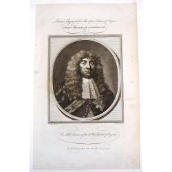
John, Duke of Lauderdale.
Fine copper engraving of John, Duke of Lauderdale from "Harrison's Edition of Rapin's History of England". Engraved by John Goldar from a painting by J. Brande...
Place & Date: London, 1784
Selling price: $8
Sold in 2015
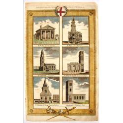
English Cathedrals - St. Paul's, St. Mary, St. Clement's.
Lovely hand-colored copper engraving featuring six English cathedrals including St. Pauls's - Covent Gardens, St. Mary - Le Strand, St. Clement's - Strand, St. Mary Wooln...
Place & Date: London, 1784
Selling price: $51
Sold in 2015
(Four Fashion Prints of London in 1640).
This fine hand-colored copper engraving is from "THORTON'S NEW & COMPLETE HOSTORY & SURVEY OF LONDON & WESTINSTER", published in London by Alex Hogg...
Place & Date: London, 1784
Selling price: $17
Sold in 2016
1st Lord Baltimore, Countess of Suffolk & Countess of Cumberland.
Fine hand-colored copper engraving featuring: George Calvert - The First Lord Baltimore, The Countess of Suffolk and Margaret, Countess of Cumberland.Engraved for "W...
Place & Date: London, 1784
Selling price: $25
Sold in 2015
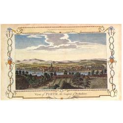
View of Perth, the Capital of Perthshire.
Pleasing hand colored view of Perth, Scotland, from an edition of "THE NEW BRITISH TRAVELLER" published in London by Alexander Hogg in 1784. The engraving was b...
Place & Date: London, 1784
Selling price: $21
Sold in 2018
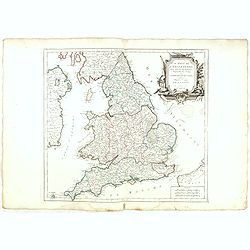
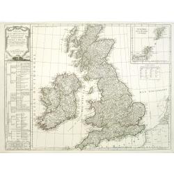
Le royaume d'Angleterre..subdivisé en Shires ou Comtés.
Finely and crisply engraved map of British Isles including the coasts of France and Ireland.Venetian edition of Giles Didier Robert De Vaugondy's map from Atlas Universel...
Place & Date: Venice, 1778 - 1784
Selling price: $40
Sold in 2023
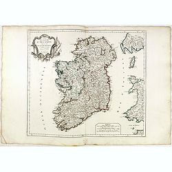
Royaume d'Irelande.. et subdivisé en Comtés.
Finely and crisply engraved map of Ireland. With ornamental title cartouche and noteworthy topographical detail.The map was prepared by the Venetian cartographer and publ...
Place & Date: Venice, 1776 - 1784
Selling price: $50
Sold in 2022
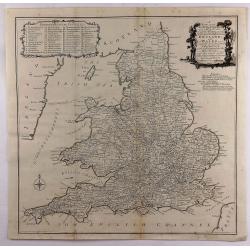
A New most Accurate & Complete Map of All the Direct and the Principal Cross Roads in England and Wales.
A fine double page map of England and Wales delineating all the major roads by Thomas Kitchin for Walpoole's "New and Complete British Traveller". Features incl...
Place & Date: Leipzeg, 1784
Selling price: $26
Sold in 2018
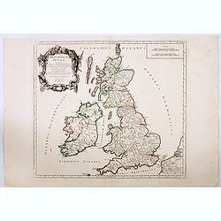
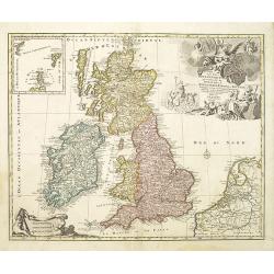
Britannicae Insulae in quibus Albion. . . Et Ivernia. . .
A large map of the British Isles. Ornated with a rococo title cartouche in the upper left corner.Venetian edition of Giles Didier Robert de Vaugondy's map based on Sanson...
Place & Date: Venice, 1776 - 1784
Selling price: $23
Sold in 2020
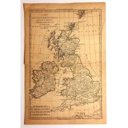
Carte des Isles Britanniques
Detailed map featuring all of Britain including the Shetland Islands. Rigobert Bonne (1727–1795) was one of the most important cartographers of the late 18th century. I...
Place & Date: Paris, 1785
Selling price: $22
Sold in 2015
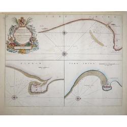
Burlington Bay, Scarbrough & Hartlepoole - To Capt. Ralph Sanderson this chart is dedicated and presented by Capt. Greenvile Collins, Hydrogr. to the King
From Great Britain's Coasting Pilot, by Captain Greenville Collins, Hydrographer in ordinary to the King's most Excellent Majesty.This sea chart is divided into three vie...
Place & Date: London, 1785
Selling price: $200
Sold in 2018
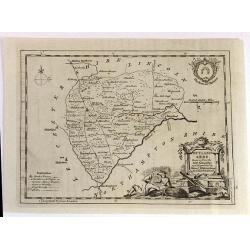
RUTLAND SHIRE, Drawn from the best Authorities
An attractive and neatly engraved 18th century map of Rutland, by Thomas Kitchin. It appeared in Henry Boswell's “Antiquities of England & Wales” in London publis...
Place & Date: London, 1786
Selling price: $31
Sold in 2016
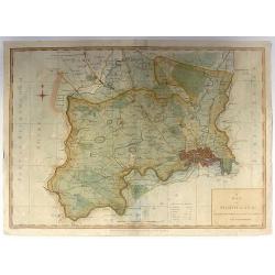
A Map of Middlesex: Engraved from an Actual Survey, with Improvements.
Pleasant copper engraved, hand colored map of Middlesex and envrons. Engraved by Sudlow for John Harrison in London in 1787.
Place & Date: London, 1787
Selling price: $20
Sold in 2016
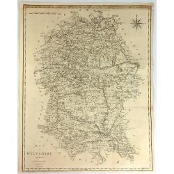
A Map of Wiltshire from the Best Authorities.
A fine and detailed map of the county of Wiltshire in Great Britain. It was engraved by John Cary. The map has a striking compass rose.John Cary (1754–1835) was an Engl...
Place & Date: London, 1787
Selling price: $14
Sold in 2017
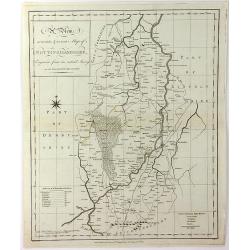
A View, Accurate & Correct, Map of Nottinghamshire, Engraved From an Actual Survey
An uncommon, detailed map of Nottinghamshire, England from "Harrison's Atlas, Maps Of The English Counties", engraving by Haywood Sudlow. Although lacking decor...
Place & Date: London, 1787
Selling price: $15
Sold in 2016
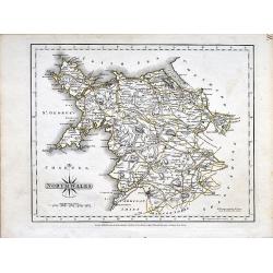
North Wales.
A small copper engraved map of north Wales issued by John Cary. Marks towns and cities and the main connecting roads.
Place & Date: London, 1787
Selling price: $15
Sold in 2019
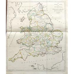
An Index Map to the Antiquities; of England and Wales. Shewing the Situation of every building described in this work.
A large and unusual map showing the counties, rivers, major cities, castles, etc. Extends from Holy Island of Lindisfarne until the Channel Islands. Engraved by Francis V...
Place & Date: London, 1787
Selling price: $17
Sold in 2019
Select Views in Great Britain. Engraved by S. Middiman, from Pictures and Drawings by the most eminent Artists. With descriptions
36 engraved plates by Samuel Middiman. Between the plates a text leave with french and english description. Plates are dated 1784 - 1788. Copper-engraved calligraphic tit...
Place & Date: London, 1788
Selling price: $300
Sold in 2009
A New and Correct Map of Great Britain from the Most Accurate Surveys.
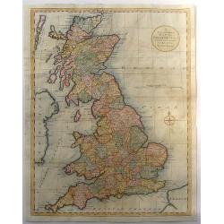
Map of England, Scotland and Wales with the individual counties named and outlined. Hadrian's Wall & Severus Wall are shown but not labeled.Thomas Bowen (died 1790) w...
Place & Date: London, 1788
Selling price: $35
Sold in 2016
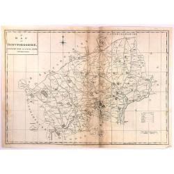
A Map of Hertfordshire, Engraved from an Actual Survey, with Improvements.
An uncommon late eighteenth-century map of the county - neatly engraved by Edward Sudlow (1784-1793). Originally produced as one of John Harrison's series of maps publish...
Place & Date: London, 1788
Selling price: $6
Sold in 2016
Carte des isles britanniques. . .
A charming map of England, based on a map of Thomas Kitchin. Published by Charles François Delamarche (1740-1817). As successor to the great DeVaugondy, the French publi...
Place & Date: Paris, 1789
Selling price: $96
Sold in 2011
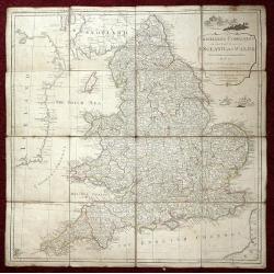
The Traveller's Companion or the Post roads of England and Wales: With the Distances in Measured Miles By the late John Rocque Chorographer to the King and it is laid on linen in sixteen sections.
Linen-backed folding map of England and Wales by John Rocque published by Robert Sayer of No 53 Fleet Street London. This map is the Robert Sayer published map of 1789 no...
Place & Date: London, 1789
Selling price: $230
Sold in 2013
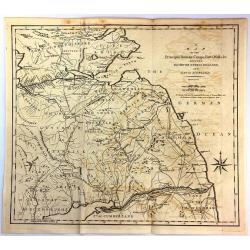
A Map of the Principal Roman Camps, Forts, Walls & c. Between the River Tyne in England and Tay in Scotland.
An antique county map published in "Britannia : or, a Chorographical Description of the flourishing kingdoms of England, Scotland and Ireland" by William Camden...
Place & Date: London, 1789
Selling price: $15
Sold in 2016
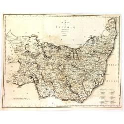
A Map of Suffolk from the Best Authorities.
An attractive and detailed late 18th century map of Suffolk engraved by John Cary and published in Richard Gough's new translation of Camden's Britannia (London: 1789). J...
Place & Date: London, 1789
Selling price: $16
Sold in 2016
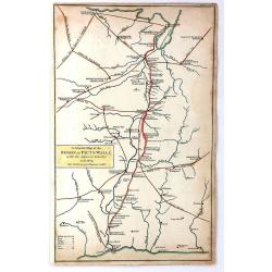
A General Map of the Roman or Picts Walls with the Adjacent Country including the Stations per Lineam Valli
A general Map of the Roman or Picts Walls, (Hadrian's Wall) in Cumberland and Northumberland, and Scotland. Engraved by John Cary for Richard Gough in London around 1789....
Place & Date: London, 1789
Selling price: $20
Sold in 2018
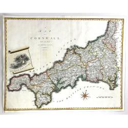
A Map of Cornwall from the Best Authorities
A fine map of Cornwall, in England by John Cary. Published in 'Camden's Britannia' in 1789. Interesting scroll insert featuring the Scilly Islands, with a fancy compass r...
Place & Date: London, 1789
Selling price: $22
Sold in 2016
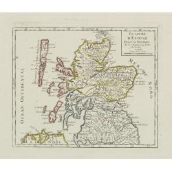
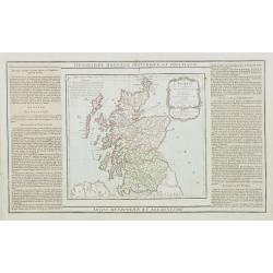
L'Ecosse..
Decorative map showing Scotland divided into northern and southern portions with all the county divisions noted. Embellished with fine title cartouche.The map is flanked ...
Place & Date: Paris, 1790
Selling price: $50
Sold
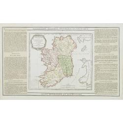
L'Irlande divisée..
Map showing Ireland, decorated with a rococo-style cartouche. Left and right a box with geographical information in French about the country (rivers, counties etc.). Prin...
Place & Date: Paris, 1790
Selling price: $60
Sold
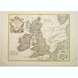
Les Isles Britanniques ou sont le Rme. D'Angleterre . . . Par G. De L'Isle. . . A Paris Chez Dezauche. . .
An uncommon, but attractive map of the British Isles. The bottom right shows the coasts of the Netherlands, Belgium, and northern France and at the upper right is the sou...
Place & Date: Paris, c.1790
Selling price: $150
Sold in 2017
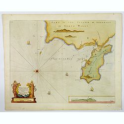
Holy-Head.
An impressive sea chart of Holy-Head in North Wales, from Greenville Collins, Hydrographer to the King (George III), taken from his Great Britain Coasting Pilot atlas. Th...
Place & Date: London, ca 1790
Selling price: $64
Sold in 2020
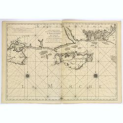
Carte Particuliere des Costes Meridionales d'Angleterre Qui Comprend l'Isle de Wight, et le Havre de Portsmouth. . .
A superb, large sea chart of the Isle of Wight and the Dorsetshire and southern Hampshire coasts between Wareham in Dorset and Bosham in Hampshire.The marine chart includ...
Place & Date: Paris, ca 1790
Selling price: $300
Sold in 2019
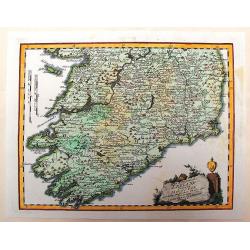
Des Konigreichs Ireland Provint Mounster
This detailed map of southern Ireland depicts the detail of the provinces of Leinster & Connaught. The copper engraved map illustrates the "Map of Munster" ...
Place & Date: Vienna, 1791
Selling price: $54
Sold in 2013
Les isles britanniques qui contiennent les royaumes d'Angleterre, Ecosse . . .
Uncommon general map of the British Isles by Jan Barendt Elwe. With decorative title cartouche and the date of publication, 1792.
Place & Date: Amsterdam, 1792
Selling price: $200
Sold in 2010
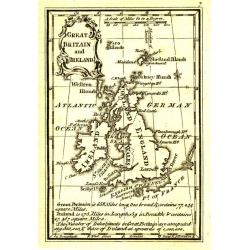
Great Britain and Ireland.
Uncommon miniature map from Gibson's "Atlas Minimus, or a New Set of Pocket Maps of the several Empires, Kingdoms and States of the known World".
Place & Date: London, 1792
Selling price: $30
Sold in 2011
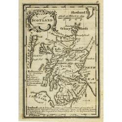
Scotland.
Uncommon miniature map from Gibson's "Atlas Minimus, or a New Set of Pocket Maps of the several Empires, Kingdoms and States of the known World".
Place & Date: London, 1792
Selling price: $50
Sold in 2011
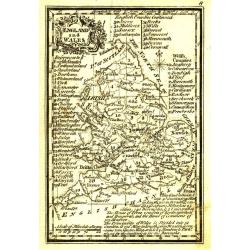
England and Wales.
Uncommon miniature map from Gibson's "Atlas Minimus, or a New Set of Pocket Maps of the several Empires, Kingdoms and States of the known World".
Place & Date: London, 1792
Selling price: $30
Sold in 2011
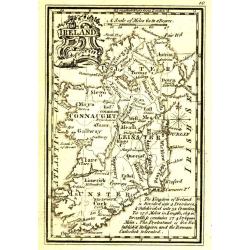
Ireland.
Uncommon miniature map from Gibson's "Atlas Minimus, or a New Set of Pocket Maps of the several Empires, Kingdoms and States of the known World".
Place & Date: London, 1792
Selling price: $55
Sold in 2011
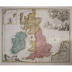
Les Isles Britanniques qui contiennent les Royaumes d' Angleterre, Escosse, et Irlande distingues en leurs principales Provinces...
Jan Elwe's edition of Alexis Hubert Jaillot's fine map of the British Isles was issued nearly 100 years after it first appeared. The title cartouche is embellished with p...
Place & Date: Amsterdam, 1792
Selling price: $300
Sold in 2013
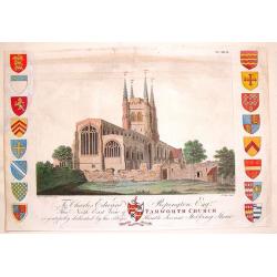
North-East View of Tamworth Church.
Fine hand-colored engraving of the Tamworth Church engraved by Francis Jukes after Stebbing Shaw. It was dedicated to Edward Repington. The church of St. Editha, in Tamw...
Place & Date: London, 1792
Selling price: $10
Sold in 2013
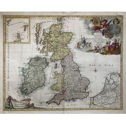
Les Isles Britannique qui contiennent les Royaumes d'Angleterre, Ecosse et Irlande.
A large folio format hand colored copper engraving of Great Britain, with The Netherlands and Belgium also depicted, published in Amsterdam in 1792 by Jan Barent Elwe. Sc...
Place & Date: Amsterdam, 1792
Selling price: $200
Sold in 2019
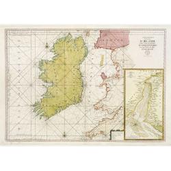
Carte Generale des Costes D\' Irlande, et des Costes Occidentales D\' Angleterre avec une Partie de celles D\' Ecosse.
Large-scale sea chart covering all of Ireland and the western coasts of England, Wales and Scotland. With inset Carte de la Riviere de Dee, ou de Chester depuis son Entr�...
Place & Date: Paris c.1793
Selling price: $300
Sold in 2009
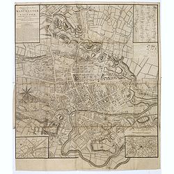
A Topographical plan of Manchester and Salford with the adjacent parts, shewing also the different allotments of land proposed to be built on as communicated to the Surveyor by the respective proprietors. . .
A Topographical plan of Manchester and Salford with the adjacent parts, with inset of a plan of Manchester and Salford and it environs, taken about 1650. The plan shows p...
Place & Date: John Stockdale, London, 1793
Selling price: $450
Sold in 2020
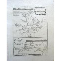
Falmouth and Carreg Road, Helford Sound.
Map of Falmouth (Cornwall), England.Robert Laurie (1755-1836) and James Whittle (1757-1818) began their map printing business in the 1790s in London. They published many ...
Place & Date: London, c. 1794
Selling price: $325
Sold in 2010
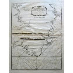
An Hydrographical Survey of the coast of Devonshire from Exmouth Bar to Stoke Point . . .
Map of Devon, England.
Place & Date: London, c. 1794
Selling price: $105
Sold in 2010
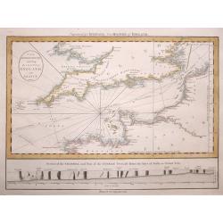
The British Channel including the Coasts of England and France.
The British Channel including the Coasts of England and France by The British Channel including the Coasts of England and France by Thomas Jefferys, published in 1794.T...
Place & Date: London, 1794
Selling price: $115
Sold in 2014
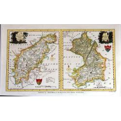
A New Map of Northhamptonshire & Cambridgeshire Drawn from the latest Authorities (Two maps on one page)
Two attached charming and detailed 18th Century county maps engraved by Thomas Condor for “The New And Complete English Traveller” in London. Published by Alexander H...
Place & Date: London, 1794
Selling price: $104
Sold in 2016
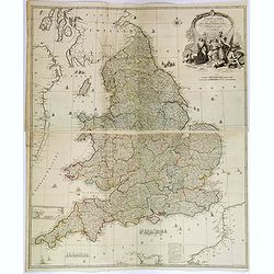
England and Wales drawn from the most accurate Surveys. . .
A delightful, large four sheet map of England and Wales, published in London towards the end of the eighteenth century. This impressive large-scale map was drawn by Rocqu...
Place & Date: London, ca 1794
Selling price: $100
Sold in 2018
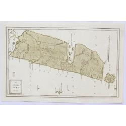
Die Insel Jura.
A decorative map of Jura Island in western Scotland, from Von Reilly's remarkable atlas published in 1794.Austrian born Franz Johann Joseph von Reilly (1766-1820) produce...
Place & Date: Austria, 1794
Selling price: $115
Sold in 2020
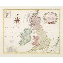
Karte von Grossbritannien und Ireland.
An attractive large sized map of Great Britain, including and inset map of the Shetland Islands in the upper left-hand corner. With a decorative title cartouche in the up...
Place & Date: Vienna, 1795
Selling price: $810
Sold in 2011
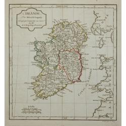
L'Irlande.
Map of Ireland, corrected by Lamarche with the mention of the year in a new cartouche : An. III.e De la République Française.
Place & Date: Paris, 1795
Selling price: $45
Sold in 2011
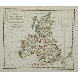
Les Isles Britanniques.
Map of the British Isles, corrected by Lamarche with the mention of the year in a new cartouche : l'an 3.me de la République Française
Place & Date: Paris, 1795
Selling price: $30
Sold in 2011
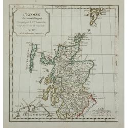
L'Ecosse.
Map of Scotland, corrected by Lamarche with the mention of the year in a new cartouche : L'An III.me de la République Française
Place & Date: Paris, 1795
Selling price: $20
Sold in 2011
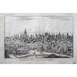
Prospect der Stadt London in England.
Rarely seen view of London from across the Thames. With many detailed buildings, including the London Bridge. A horse carriage and horsemen in the foreground. By Somnmer ...
Place & Date: Vienna, c1795
Selling price: $150
Sold in 2013
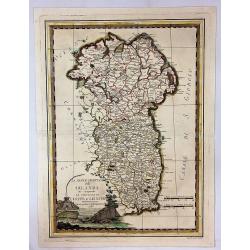
La Parte Orientale della Irlanda che Comprende Le province di Ulster e Leinster.
A fine 1795 Cassini map of Eastern Ireland, including the provinces of Ulster and Leinster. It features a decorative title cartouche with a fortress and fishing scene.Gi...
Place & Date: Rome, 1795
Selling price: $36
Sold in 2024
[Lot of 15 maps / prints of the British Isles]. Le Royaume d'Angleterre.
A-H Jaillot's large and attractive map of England. Embellished with an elaborate title cartouche. Newly engraved for the counterfeited edition of the ' Atlas Nouveau', ...
Place & Date: Amsterdam, 1795
Selling price: $250
Sold in 2024
Wallis\'s Plan of the Cities of London and Westminster 1797.
First edition of this folding map covering Pentonville, Stepney, Lambeth and Hyde Park. Hand colored sections laid down on linen. Title on oval at top left. Explanation o...
Place & Date: London, 1797
Selling price: $450
Sold in 2009
Present Britain.
A fully colored map of England and Wales from An Universal Atlas Consisting of a Complete Set of Maps, peculiarly adapted to illustrate and explain ancient and modern geo...
- $50 / ≈ €46.49
Place & Date: London, 1797
Present Scotland.
A fully colored map of Scotland, with the usual inset of the Shetland Islands from An Universal Atlas Consisting of a Complete Set of Maps, peculiarly adapted to illustra...
Place & Date: London, 1797
Selling price: $45
Sold in 2020
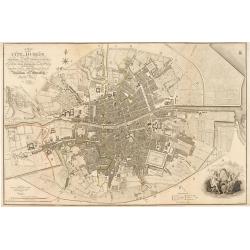
Plan of the City of Dublin Surveyed for Use of the Division of Justices, to Which have been Added Plans of the Canal Harbor and its Junction with the Grand Canal...
This is a rare separately issued map of Dublin, Ireland as it was at the end of what can be considered a rather prosperous century for the nation's capital and largest ci...
Place & Date: London, 1797
Selling price: $1600
Sold in 2023
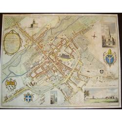
A Plan of the City of Canterbury & the adjoining Suburbs...
A beautiful, sought after plan of Canterbury as seen towards the end of the eighteenth century. The work contains four insets: 1) "The North View of St. Augustine's ...
Place & Date: London, dated 1798
Selling price: $325
Sold in 2008
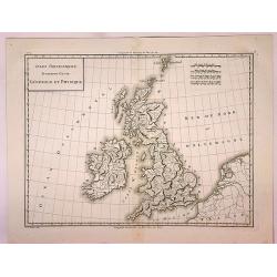
Isles Britanniques Premiere Carte Generale et Physique.
A detailed copper engraving map of the British Isles by Mentelle and Chanlaire from their "Atlas Universel". Published in Paris in 1798. The map shows mountains...
Place & Date: Paris, 1798
Selling price: $21
Sold in 2017
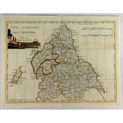
Parte Settentrionale Dell Inghilterra.
A fine Italian map of the northern part of England. It features a title cartouche "Siena 1795 Near Pazzini Carli". The sheet comes from the rare geographical At...
Place & Date: Siena, 1798
Selling price: $125
Sold in 2020
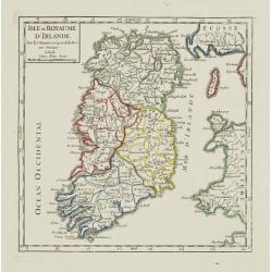
Isle et Royaume d'Irlande.
Nice small map of Ireland. From Atlas Portatif Universel, by Robert de Vaugondy.Page 7 outside border top right. Mary Sponberg Pedley does not mention a state without dat...
Place & Date: Paris, 1748-1799
Selling price: $70
Sold
Royaume d\'Ecosse.
Nice small map of Scotland. From Atlas Portatif Universel, by Robert de Vaugondy.Page 6 outside border top right. Mary Sponberg Pedley does not mention a state without da...
Place & Date: Paris, 1748-1799
Selling price: $50
Sold in 2008
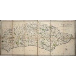
A Topographical Map of the County of Sussex Reduced from the Large survey in four sheets by Thomas Gream. . .
Folding Map of Sussex engraved on paper laid onto linen, with 6 folds, 380 x 800mm opened out, Scale: 6 miles to 2.5 inches. The map has original hand-coloring showing ...
Place & Date: London, 1799
Selling price: $200
Sold in 2016
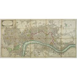
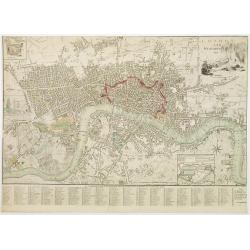
London and Westminster.
Title with engraving of Father Thames top right. At the bottom right, a compass rose and at the bottom center, a scale bar. Map divided into rectangles and lettered for r...
Place & Date: London, 1800
Selling price: $750
Sold in 2016
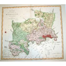
A New Map of the County of Middlesex.
A beautifully engraved and well-detailed turn of the 19th century map of County Middlesex, England. The metropolis of London and its environs are nicely highlighted, and ...
Place & Date: London, dated 1801
Selling price: $305
Sold in 2008
The invasions of England and Ireland with all their civil Wars since the Conquest.
Very interesting map showing the British Isles with their invasions and battles. Invasions (or attempts) are shown by small sailing ships, explained with text and the dat...
Place & Date: London, 1801
Selling price: $135
Sold in 2012
Five colored plates from the `Little Sea Torch'or, ‘True guide for coasting pilots:'
Published in Serres's scarce marine pilot, 'The Little Sea Torch', an acknowledged English edition of Bougard's 'Le Petit Flambeau de la Mer', although extensively revise...
Place & Date: London, 1801
Selling price: $300
Sold in 2013
A Map of England, Wales & Scotland
With an inlay of a portion of Scotland, this map depicts all the direct and principal crossroads. There is an interesting compass rose. William Faden (1750 - 1836) was ...
Place & Date: London, 1801
Selling price: $11
Sold in 2015
A New Map of the County of Norfolk Divided into Hundreds.
Large size, decorative map of the County of Norfolk by Jones, Smith & Co. for Smith's New English Atlas. The first map of the County to show longitudes measured from ...
Place & Date: London, 1801
Selling price: $14
Sold in 2016
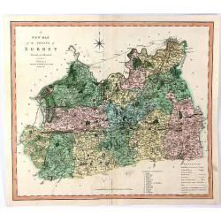
A New Map of the County of Surrey Divided Into Hundreds
A large sized, decorative map of the English County of Surrey by Jones, Smith & Co. for Smith's “New English Atlas”. This is the first map of the County to show l...
Place & Date: London, 1801
Selling price: $15
Sold in 2016
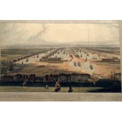
An Elevated View of the New Docks & Warehouses now constructing on the Isle of Dogs near Limehouse for the reception & accommodation of Shipping in the West India Trade,...
A fantastic bird's-eye view of the West India Docks, looking west towards the City of London. Very detailed with many sailing ships, buildings, and people on foot or hors...
Place & Date: London, 1802
Selling price: $175
Sold in 2016
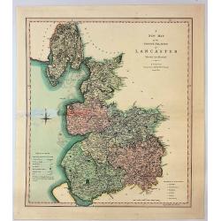
A New Map of the County Palatine of Lancaster Divided into Hundreds.
A large sized and decorative map of the county by Jones, Smith & Co. for Smith's "New English Atlas". The first map of the County to show longitudes measure...
Place & Date: London, 1802
Selling price: $14
Sold in 2017
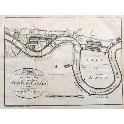
Plan des von der West Ind. Comp. auf der Isle of Dogs neu angelegten Staples u. Canals sowie des projectirten Londner Wasser-Stapels.
An unusual German plan of the proposed new docks in London: the West India Docks, St Katherine's & Greenland Dock. Also marked is Perry's Dock, at one time the bigges...
Place & Date: Weimar, ca. 1802
Selling price: $60
Sold in 2017
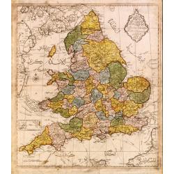
Map of England.
Very rare Ottoman printed map of the world in a Mercator projection, centered on Australia.From Jedid Atlas Tercümesi or New Atlas , printed 1218 H. or 1803 in Üsküdar...
Place & Date: Üsküdar, 1803
Selling price: $660
Sold
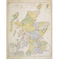
Scotland.
Very rare Ottoman printed map of Scotland with inset of Shetland Islands from Cedid Atlas Tercümesi or New Atlas , printed 1218 H. or 1803 in üsküdar, a part of Istanb...
Place & Date: Vienna/ Üsküdar, 1803
Selling price: $800
Sold in 2008
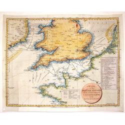
Chart of the British Channel with the Opposite Coast of the United Kingdom and the Republic of France.
Finely detailed chart of the English Channel from the east coast of Ireland to France. With a circular title cartouche and two tables, one that lists the dates of invasio...
Place & Date: London, 1803
Selling price: $41
Sold in 2016
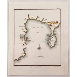
Gibraltar Bay.
A striking map of Gibraltar and Gibraltar Bay with Old Gibraltar across the bay by T. Walsh, and engraved by S. Neele.From “Journal of the Late Campaign in Egypt: Inclu...
Place & Date: London, 1803
Selling price: $31
Sold in 2017
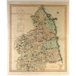
A New Map of the County of Northumberland Divided into Wards.
Handsome and detailed county map shows market towns with distances from London in measured miles. The major canals, roads, railways, parks and churches are also clearly m...
Place & Date: London, 1804
Selling price: $31
Sold in 2018


![[Lot of 15 maps / prints of the British Isles]. Le Royaume d'Angleterre.](/uploads/cache/7148-(1)-250x250.jpg)
