Browse Listings in Antique Maps > Europe > British Isles
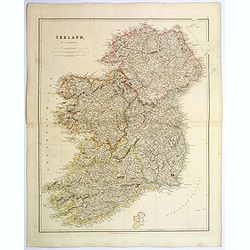
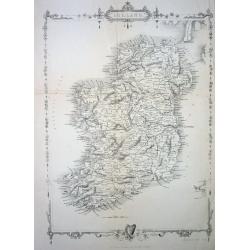
Ireland.
An attractive steel engraved map of Ireland, with each county divided by a different color. A pleasing amount of detail is provided. Also with a small inset map naming th...
Place & Date: London, 1839
Selling price: $60
Sold in 2023
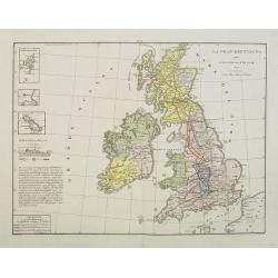
La Gran Brettagna . . . .
A rare and detailed double-page map of Great Britain with three inset maps upper left of the Shetland Mainland Islands, the Helgoland Island (occupied by the English in 1...
Place & Date: Venice, 1840
Selling price: $72
Sold in 2011
Iles Britanniques.
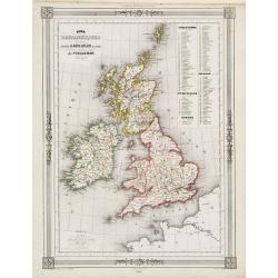
Finely engraved map of British Isles prepared by A.H.Dufour and engraved by Giraldon-Bovinet. Published by Jules Renouard in his uncommon atlas "Le globe Atlas class...
Place & Date: Paris, Jules Renouard, ca.1840
Selling price: $30
Sold in 2011
Somersetshire.
Nice hand-colored map of Somersetshire with a fine engraving cartouche of Glastonbury Cross. It also has two coats of arms. Thomas Moule (1784 - January 1851) was an Eng...
Place & Date: London, 1840
Selling price: $4
Sold in 2013
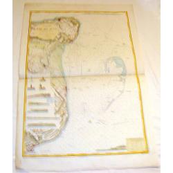
Carte de la rade de Plymouth avec le Môles excuté par l. ingénieur John Renie.
Rare sea-chart of the Plymouth Sound, engraved by Edler. With numerous depth soundings, shoals, buoys, and important landmarks including relevant buildings such as: Tarpo...
Place & Date: unknown, c1840
Selling price: $36
Sold in 2018
Cumberland.
Highly detailed map of the county, with a nice view of Carlisle shown from the North East. The map shows towns and villages, streets, lakes, rivers, forests, hills, etc. ...
Place & Date: Glasgow, c1840
Selling price: $1
Sold in 2016
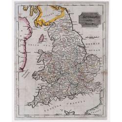
England & Wales.
Highly detailed map of England & Wales. The map provides good topographic details. The title is inside a frame-style cartouche. By F.W. Topham in London in 1840.
Place & Date: London, 1840
Selling price: $10
Sold in 2021
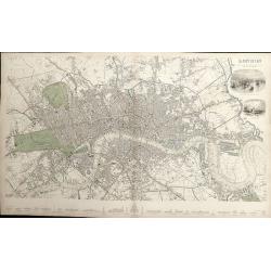
London.
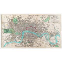
A detailed plan of London, from Kensington to the East India Docks and Battersea to Holloway. Decorated with two vignettes of the Tower of London and a view of St.Paul's....
Place & Date: London, 1843
Selling price: $240
Sold in 2012
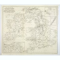
Map Exhibiting the Navigable Rivers, the completed & proposed Canals, & Rail-Roads of Great Britain & Ireland. . .
A large folded map of the navigable rivers, plus the existing or proposed canals and railways of G.B. & Ireland, originally published in London, but this example is p...
Place & Date: New York, 1843
Selling price: $13
Sold in 2019
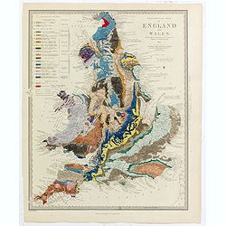
Geological Map of England and Wales . . .
Fascinating geological map of England and Wales.
Place & Date: London, 1843
Selling price: $140
Sold in 2020
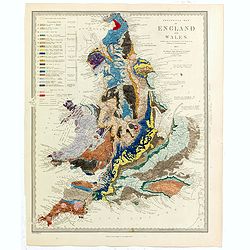
Geological Map of England and Wales . . .
Fascinating geological map of England and Wales, hand colored to reflect 20 different geological regions, with a color code on the left side of the plate.The map was prep...
Place & Date: London, 1843
Selling price: $150
Sold in 2022
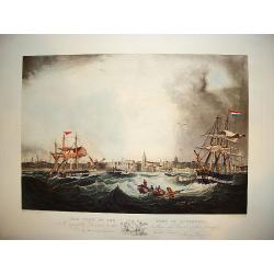
"This View of the Port of Liverpool..."
A large and impressive prospect of the city of Liverpool as seen from the port viewpoint. The ?active? nautical scene showing vessels in turbulent waters originates from ...
Place & Date: Liverpool, ca. 1845
Selling price: $300
Sold
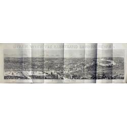
View of London.
Very large wood engraving printed and published as a supplement for the Illustrated London News, by William Little, London, January 11, 1845. More about City of London pl...
Place & Date: London, 1845
Selling price: $330
Sold in 2014
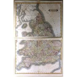
England
A very large map of England and Wales, focusing on the railway network constructed by W. H. Lizars from the most recent surveys, published by Lizars in Edinburgh in 1848....
Place & Date: Edinburgh, 1845
Selling price: $20
Sold in 2016
London in Miniature With The Surrounding Villages. An Entire New Plan In which the Improvements both present and intended are actually reduced (by permission) from the surveys of the Several Proprietors ...
Folding plan of London showing the extents from Islington through to Camberwell and the River Lea to Kensington. Bright original color in block and outline. The plan diss...
Place & Date: London: Edward Mogg, No. 14 Great Russell Street. January 1st, 1845
Selling price: $650
Sold in 2020
Isles Britanniques..
Decorative map of England, prepared by J.G.Barbié du Bocage.Engraved by Ch.Smith, published by Basset who was established in Paris, rue de Seine 33. From atlas Illustré...
Place & Date: Paris 1846
Selling price: $20
Sold
Plan of the City of Edinburgh with all the recent and intended improvements, lines of railways &c.
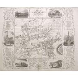
A rare plan of Edinburgh, surrounded by six views of important buildings and listings of hotels, inns, and many most worthy objects! The detailed plan shows the city with...
Place & Date: Edinburgh, 1846
Selling price: $250
Sold in 2015
London And Its Environs. Containing the Boundaries of the Metropolitan Boroughs, the different Railroads & Stations, The New Cemetaries, Roads, Docks, Canals, and all modern improvements ...
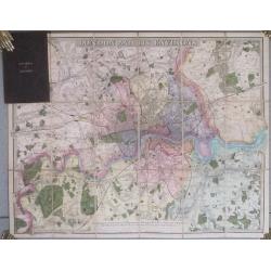
The plan covers the extents from Tottenham down to Bromley and Barking across to Hanwell.The plan dissected into 18 sections and backed onto linen. Folds between dark bro...
Place & Date: London. 1847
Selling price: $250
Sold in 2014
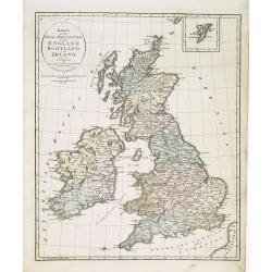
Karta öfver Stora Britannien eller England, Scotland och Irland.
An very rare map of Great Britain with Swedish text. This is an updated version of his map of 1819 and is now dated 1832.From his atlas "Geographisk Hand-Atlas"...
Place & Date: A. Wiborgs förlag, Stockholm, ca. 1848
Selling price: $100
Sold in 2013
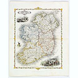
Ireland.
A delightful small map of the island of Ireland, by Alfred Adlard, published in his Vignette Modern School Atlas of the World. When looking at this map you are immediatel...
Place & Date: London, 1850
Selling price: $85
Sold in 2018
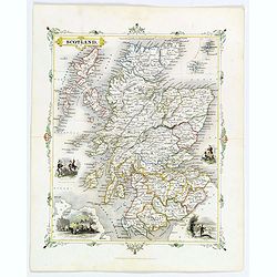
Scotland.
A delightful small map of Scotland, by Alfred Adlard, published in his Vignette Modern School Atlas of the World. When looking at this map you are immediately struck by i...
Place & Date: London, 1850
Selling price: $85
Sold in 2018
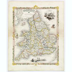
England and Wales.
A delightful small map of England and Wales, by Alfred Adlard, published in his Vignette Modern School Atlas of the World. When looking at this map you are immediately st...
Place & Date: London, 1850
Selling price: $40
Sold in 2020
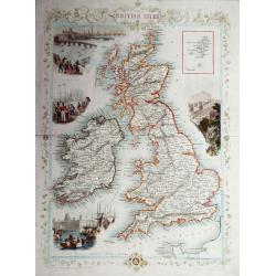
The British Isles.
A highly decorative and detailed mid-19th century map of the British Isles, which was drawn and engraved by J. Rapkin with the vignettes by John Salmon & Robert Walli...
Place & Date: London, 1851
Selling price: $130
Sold in 2016
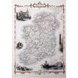
Ireland
A highly detailed and decorative map of Ireland with Illustrations of St Patricks Dublin, Limerick castle, Round Tower Wicklow, The Holy well, and Ross Castle Lake Killar...
Place & Date: London, 1851
Selling price: $100
Sold in 2019
Ireland
A very decorative steel-engraved map of the island, highly detailed with place names, railroads, rivers, hills, bays, etc.Attractively illustrated with vignette style vie...
Place & Date: London, 1851
Selling price: $107
Sold in 2016
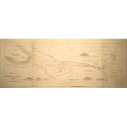
General Plan of the Antiquities of Stenness, Orkney.
General Plan of the Antiquities of Stenness and Orkney. Interesting map that covers the lochs and profiles the stones and Mees of Stenness. Drawn and engraved by James ...
Place & Date: London, 1851
Selling price: $11
Sold in 2019
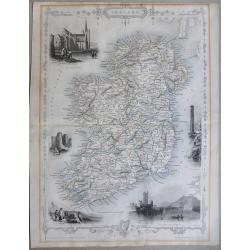
Ireland
This is the uncommon and slightly later edition by Rapkin based on Tallis' maps. The vignettes have been removed and the map is issued in black and white. With decorative...
Place & Date: London 1855
Selling price: $50
Sold
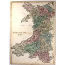
North & South Wales.
This large map is of NORTH & SOUTH WALES. The map is from the 1856 edition of Black's “General Atlas of the World”. The map displays the provinces (of that time) ...
Place & Date: Edinburgh, 1856
Selling price: $15
Sold in 2016
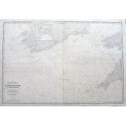
Carte des entrées de la Mer D'Irlande et du Canal de Bristol. . .
A large sea-chart of southern Ireland and parts of Cornwall and Wales. With numerous old pencil notes. colored yellow dots indicate the fire signals along the coasts. Wit...
Place & Date: Paris, 1856
Selling price: $30
Sold in 2020
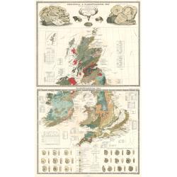
Geological and Paleaontological Map of the British Isles
Two beautiful double-page sheets combine to make one remarkable map of the British Isles. One map is titled "Geological and Paleontological Map of the British Isles,...
Place & Date: Edinburgh, 1856
Selling price: $450
Sold in 2024
Environs Of London [. . .] Windsor Castle to Gravesend.
Engraved by John Dower. An extremely detailed map of the vicinity of London, as it was in 1855 when this map was published. Many vignettes showing scenes in and around Lo...
Place & Date: London, 1857
Selling price: $180
Sold in 2014
Illustrated Plan of Manchester and Salford.
Uncommon "carte à figures"- city plan of Manchester. Very detailed with street names, and a legend naming 51 buildings with their building date. The map is sur...
Place & Date: Manchester, 1857
Selling price: $130
Sold in 2016
London And Its Environs.
Folding map of London and the surrounding regions. The extents cover the area from Potters Bar down to Epsom and Gravesend across to Windsor. Uncolored except for the pri...
Place & Date: Southampton, 1857
Selling price: $160
Sold in 2023
Geological map England & Wales.
An unusual geological map of England and Wales with a key to the colors used. The map is hand drawn and hand colored apart from the title and border, it bears the inscrip...
Place & Date: London, ca. 1858
Selling price: $200
Sold in 2018
Groot-Brittanje en Ierland.
Uncommon map of England, Ireland and Wales, Scotland. Inset of Shetland islands. Lithography by J.H. van Weijer, published in Atlas der geheele Aarde [?] in 24 kaarten.
Place & Date: Groningen, ca. 1860
Selling price: $20
Sold in 2008
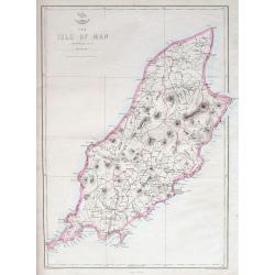
The Isle of Man.
A highly detailed map of the island, filled with place names, roads, hills, etc.The Weekly Dispatch newspaper was published in London between the years 1856 and 1862, an...
Place & Date: London, ca 1860
Selling price: $21
Sold in 2018
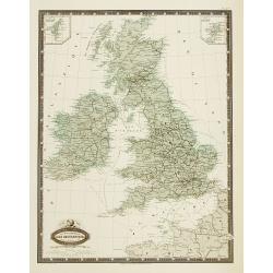
Isles Britanniques carte des chemins de fer et canaux.
Very detailed map from Atlas Sphéroïdal & Universel de géographie , Prepared by F.A.Garnier and edited by Jules Renouard, rue de Tournon, Paris. Uncommon map with ...
Place & Date: Paris, 1861
Selling price: $135
Sold in 2011
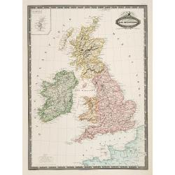
Isles Britanniques, Angleterre, Ecosse, Irlande. . .
Very detailed map from Atlas Sphéroïdal & Universel de géographie, Prepared by F.A.Garnier and edited by Jules Renouard, rue de Tournon, Paris. Uncommon map with d...
Place & Date: Paris, 1861
Selling price: $100
Sold in 2011
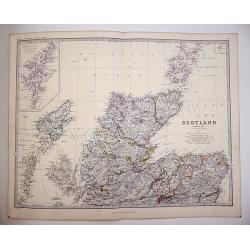
Scotland on Two sheets North and South
Scotland divided onto two large sheets. Scotland, northern sheet,page 7. by Keith Johnston, F.R.S.E. Engraved & printed by W. & A.K. Johnston, Edinburgh. William ...
Place & Date: Edinburgh, 1861
Selling price: $120
Sold in 2019
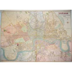
London Guide to the International Exhibition 1862
A very large and impressive plan of London, published specifically for the city's international exhibition of 1862. The exposition was a world's fair, seven years after t...
Place & Date: London, ca 1862
Selling price: $700
Sold
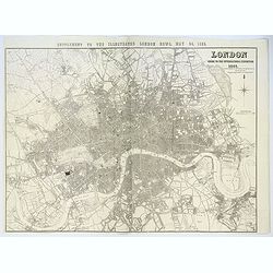
London. Guide to the International Exhibition.
Published as a supplement to the ILN of May 24th, 1862, this is a large, wonderfully detailed plan of London, extending from Hammersmith in the west, to Poplar in the eas...
Place & Date: London, 1862
Selling price: $210
Sold in 2017
Stanford's Library Map of London and its Suburbs, sheet 10.
Published by Edward Stanford, 6 Charing Cross, London, February 15, 1862. Sheet no 10 covers the West End of London to the Houses Parliament and the Thames at Westminste...
Place & Date: London, 1862
Selling price: $240
Sold in 2020
Stanford's Library Map of London and its Suburbs, sheet 13.
Published by Edward Stanford, 6 Charing Cross, London, February 15, 1862. Sheet no 13 covers West London... The Kings road in fields. The Thames from Hammersmith Bridge t...
Place & Date: London, 1862
Selling price: $260
Sold in 2019
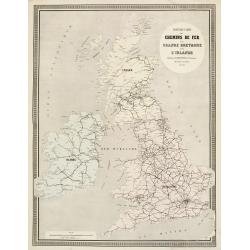
Nouvelle Carte des Chemins de Fer de la Grande Bretagne et de l'Irlande. . .
Fine map of England, Scotland and Ireland showing the early railway system of the area.From Atlas des Chemins de Fer published by Napoléon Chaix and printed by Imprimeri...
Place & Date: Paris, 1863
Selling price: $55
Sold in 2011
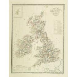
Map of the United Kingdom of Great Brittain and Ireland.
Very detailed map of Great Britain and Ireland. Lower left statistic table and upper left inset map of Shetland Islands.James Wyld (the younger) was geographer to the Que...
Place & Date: London, 1863
Selling price: $50
Sold in 2009
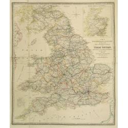
A Map of England, Wales & Scotland..
Very detailed map of England, Wales and Scotland. In upper right hand corner inset map of northern part of Scotland.James Wyld (the younger) was geographer to the Queen a...
Place & Date: London, 1863
Selling price: $40
Sold in 2023
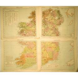
[4-sheets] Ireland.
Large four-sheet map of Ireland by Edward Weller, published in the 'Dispatch Atlas'. Map consists of a N.E. sheet, a S.E. sheet, a N.W. sheet, which bears the title, and ...
Place & Date: London, 1863
Selling price: $36
Sold in 2017
[4-sheets] Wales.
Large four-sheet map of Wales by Edward Weller, published in the 'Dispatch Atlas'.Map consists of a N.E. sheet, from Montgomeryshire up to the River Dee, a S.E. sheet fro...
Place & Date: London, 1863
Selling price: $16
Sold in 2017
[4-sheets] Scotland.
Large four-sheet map of Scotland by Edward Weller, published in the 'Dispatch Atlas'.Map consists of a N.W. sheet, from, the Western Isles, Skye, to parts of Ross and Sut...
Place & Date: London, 1863
Selling price: $35
Sold in 2017
[4-sheets] England and Wales.
Large four-sheet map of England and Wales by Edward Weller, published in the 'Dispatch Atlas'.Map consists of a S.E. sheet, showing London and the 'Home Counties', a S.W....
Place & Date: London, 1863
Selling price: $25
Sold in 2017
Angleterre Cote S.E., Rade des Dunes.
Informative sea chart featuring the coast of England from Margate to Dover with miniatrure city plans of Deal and Ramsgate in between. Miniature colored pictures of ligh...
Place & Date: Paris, 1866
Selling price: $99
Sold in 2015
London, (South East Sheet).
Large handsome map of mid-Victorian South East London, including Southwark, Bermonsey, Surrey Docks, Depford and western Isle of Dogs. Published by Cassell, Petter & ...
Place & Date: London, 1866
Selling price: $55
Sold in 2019
Angleterre Cote Sud, Port du Falmouth.
Striking lithographed sea chart of the Port of Falmouth in England. Depôt des Cartes et Plans de la Marine (1720 - present), often called the Depôt de Marine, was a Fr...
Place & Date: Paris, 1870
Selling price: $79
Sold in 2015
Ireland.
A highly detailed map of the island. Names many towns, areas, rivers, lochs, bays, railways etc.
Place & Date: London, Edingburgh & Glasgow, ca. 1870
Selling price: $25
Sold in 2018
The Newspaper Map of the United Kingdom.
Large map, showing the distribution and variety of newspaper publication in the UK. A key has symbols that give an explanation of towns with one paper, more than one pape...
Place & Date: London, 1872
Selling price: $35
Sold in 2015
[Lot of Four Maps of England]
This is a group lot of four maps of England and the cities of London and Liverpool. - Farrington Ward without it's Division into Parishes according to a New Survey, By...
Place & Date: 1755 - 1873
Selling price: $40
Sold in 2024
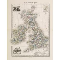
Iles Britanniques.
Decorative map of the British Isles from Géographie Universelle, Atlas Migeon. published by J. Migeon. In lower left hand corner a view of the tower of London and an eng...
Place & Date: Paris 1874
Selling price: $10
Sold
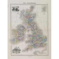
Iles Britanniques.
A decorative map of England, Wales, Scotland, and Ireland from Géographie Universelle, Atlas Migeon. An engraving of the XVIth century London Tower in the lower-left cor...
Place & Date: Paris, 1874
Selling price: $30
Sold in 2015
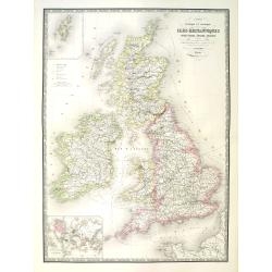
Carte physique et politique des iles britanniques.
Very large, highly detailed and uncommon map of the British Isles, with inset map of the world and the Shetland Islands. The map shows according to the title: main interr...
Place & Date: Paris, 1875
Selling price: $50
Sold in 2010
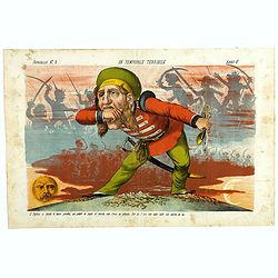
Un Temporale terribile. Papagallo No. 2. Anno VI.
Showing an English figure standing on British and American soil. Design by Augusto Grossi. Taken from the Italian satirical newspaper Il Papagallo, a satirical magazine f...
Place & Date: Bologne, 1878
Selling price: $195
Sold in 2019
Tombleson's Panoramic Map of the Thames and Medway London Published by G.W.Bacon & Co Ltd 127 Strand.
Tombleson’s Panoramic Map of the Thames and Medway London Published by G.W.Bacon & Co Ltd 127 Strand.Attractive steel engraving of the rivers Thames and Medway from...
Place & Date: London, 1880
Selling price: $180
Sold in 2017
Ireland (4 Sheets).
Original map for Letts’s Popular Atlas of the World published in 1889 by Mason & Payne of London. This map is printed in color on four sheets, and has the added sta...
Place & Date: London, c1880
Selling price: $30
Sold in 2019
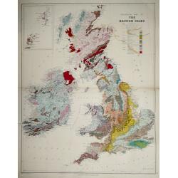
Geological map of the British Isles.
Geological map of the British Isles by Edward Best, published by Edward Stanford. Steel engraved.Shows 27 geologic units. Includes inset of the Shetland and Orkney islan...
Place & Date: London, 1887
Selling price: $60
Sold in 2014
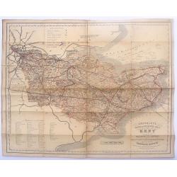
Cruchley's Road and Railway Maps of the County of Kent.
Interesting map featuring the roads and rail lines in the English county of Kent. It also shows the names of the stations, turnpike roads, villages, gentlemen's seats, im...
Place & Date: London, 1888
Selling price: $15
Sold in 2016
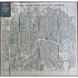
Collins Standard Map of London.
Linen backed. A famous map of London, drawn by Richard Jarman in 1858, at a scale of four inches to one statute mile, and originally published by Henry George Collins. W...
Place & Date: London, 1888
Selling price: $200
Sold in 2018
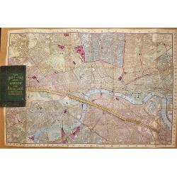
Tape Indicator Map of London and Visitors Guide.
A fold out linen backed hand colored plan of London by Charles Smith & Son, London, 1894. With green hardcover in good condition. Tape is present and complete.
Place & Date: London, 1894
Selling price: $120
Sold in 2017
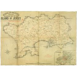
Stephens and Mackintosh Leicester. Business map of the island of Jersey.
Map of Jersey. it shows the principal roads, plus street plan St. Helier inserted in the lower right corner. Showing the distance from St. Helier in red among a key to ab...
Place & Date: Leicester, ca. 1898
Selling price: $150
Sold in 2019
[Hackney from Booth's Poverty Map of London]
A map of the London Borough of Hackney, one section (of twenty) of an extended version of the incredibly influential Poverty Map, originally published in Charles Booth's ...
Place & Date: London, 1900
Selling price: $400
Sold in 2017
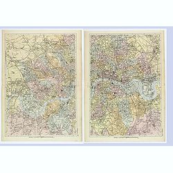
London West / East.
A detailed pair of plans of London, as it was at the turn of the last century. Different areas are multi colored. With rich detail that includes; many major roads and tho...
Place & Date: London, ca 1900
Selling price: $55
Sold in 2019
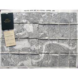
Philips New Map of Central London. 1900
Large plan of London printed on thin cloth! Shows central London in great detail, extending to Kentish Town, London Docks, South Lambeth, Notting Hill. With Philips Minia...
Place & Date: London, 1900
Selling price: $65
Sold in 2019
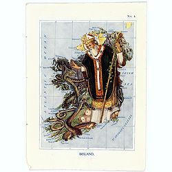
Ireland.
A fun and unusual map of Ireland, in the shape of St.Patrick banishing the serpents from the country. Map No. 4 in good printed color, shows coastal cities, towns, bays, ...
Place & Date: London, 1912
Selling price: $95
Sold in 2017
Firth of Forth, St. Abbs Head to the Forth Bridge (Maritimes Chart)
Fine large maritime chart featuring a segment of the Scottish east coast including Edinburgh, Haddington and Berwick.First published by the Admiralty in London in 1860. T...
Place & Date: London, 1919
Selling price: $2
Sold in 2015
Underground Railway Map of London 1919.
One of the rarest London Underground maps. The first London Underground map produced after the end of World War One, the lines are shown with reasonable geographical accu...
Place & Date: London, 1919
Selling price: $260
Sold in 2018
Clubland and Theatreland, London map 1924
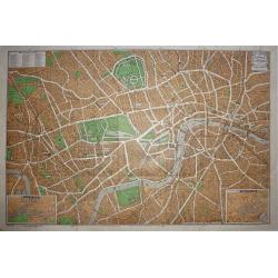
This colorful and highly detailed large map of London was published c.1924 by Geographia Ltd. Covers the West End (Downtown) of London from the Hammersmith Bridge and Wor...
Place & Date: London, 1924
Selling price: $50
Sold in 2015
The Wonderground Map of London Town Drawn by MacDonald Gill.
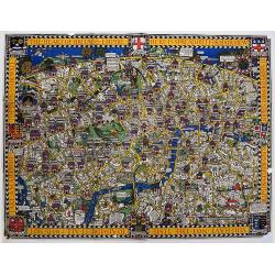
In 1914, 'The Wonderground Map' was designed by MacDonald Gill and commissioned for the underground by Frank Pick, Commercial Manager of the then-Underground Electric Rai...
Place & Date: London, 1924
Selling price: $700
Sold in 2020
Map of Central London
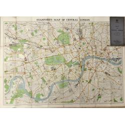
A highly detailed folding map of Central London, published between the wars.
Place & Date: London, 1936
Selling price: $65
Sold in 2016
Underground Railway Map - London Transport - Issued free - No 1 - 1938.
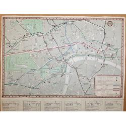
An interesting early London underground map. The main map shows the Metropolitan and District Lines- Piccadilly Line – Bakerloo Line – and Central line with a key to ...
Place & Date: London, 1938
Selling price: $80
Sold in 2017
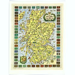
The Story Map of Scotland.
A colorful and detailemap of Scotland, showing the history of that fascinating country in pictorial form. Surrounding the map are the Tartans of 62 differnent Clans. In o...
Place & Date: Chicago, 1939
Selling price: $30
Sold in 2016
Invasion. A Series of Articles by Expert Strategists with 9 maps.
An interesting small quarto sized 64 page booklet covering Invasion, a series of articles by expert strategists which first appeared in The Evening Standard.A brilliant s...
Place & Date: London / Melbourne, ca. 1941
Selling price: $80
Sold in 2017
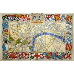
Royal Wedding. The Daily Telegraph Picture Map of the Route.
The Royal Wedding of Princess Elizabeth and Philip Mountbatten was on November 20, 1947. "Map Produced for the "Daily Telegraph" by H.A. & W.L. Pitkin ...
Place & Date: London, 1947
Selling price: $110
Sold in 2019
![Environs Of London [. . .] Windsor Castle to Gravesend.](/uploads/cache/92787-250x250.jpg)
![[4-sheets] Ireland.](/uploads/cache/39116-250x250.jpg)
![[4-sheets] Wales.](/uploads/cache/39117-250x250.jpg)
![[4-sheets] Scotland.](/uploads/cache/39118-250x250.jpg)
![[4-sheets] England and Wales.](/uploads/cache/39119-250x250.jpg)
![[Lot of Four Maps of England]](/uploads/cache/4040001-250x250.jpg)

![[Hackney from Booth's Poverty Map of London]](/uploads/cache/40266-250x250.jpg)
