Browse Listings in Antique Maps > Europe > British Isles
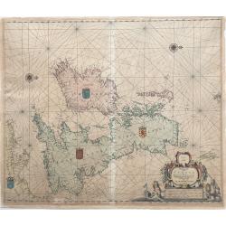
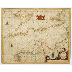
Pascaarte vant Canaal door Arnold Colom t Amsterdam op het Watter by de Nieuwe brugh inde Lichtende Colom.
This large folio, extremely decorative sea chart offered here is one of the earliest and rarest sea charts depicting the British Isles. It appeared in the famous Colom's...
Place & Date: Amsterdam, 1656
Selling price: $2990
Sold in 2022
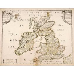
Carte generale des Royaume d'Angleterre Escosse et Irlande..
Fine map of the British Isles, in a second state. The map was first published by Tavernier and later by Mariette. This edition carries the date 1640, and address of Pierr...
Place & Date: Paris, 1640-1657
Selling price: $355
Sold in 2011
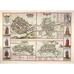
Galwaye, Dubline , Lymericke, and Corcke - Braun & Hogenberg, 1618.
Fine "carte à figures"- map with four Irish bird's-eye plans: Galway, Dublin, Limerick and Cork with left and right borders of costumed figures and top right v...
Place & Date: Amsterdam, (1618) 1657
Selling price: $1450
Sold in 2013
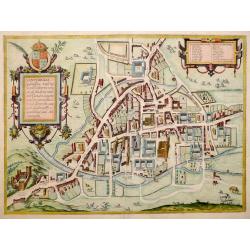
Cantebrigia, Opulentissimi Angliae Regni . . .
A sought after and highly decorative early bird's-eye plan of the ancient university town of Cambridge.The plan originally appeared in Braun & Hogenberg's Civitates O...
Place & Date: Amsterdam, 1657
Selling price: $1250
Sold in 2013
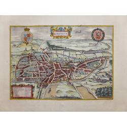
Nordoviaim.....
The English city of Norwich in the county of Norfolk is shown here from the north-west. The cathedral church "called Christes" is immediately identifiable withi...
Place & Date: Amsterdam, 1657
Selling price: $400
Sold in 2014
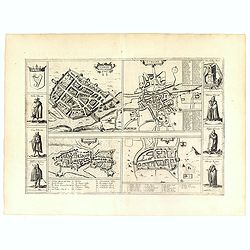
Galwaye, Dubline , Lymericke, and Corcke.
Four early town plans with six costume vignettes, the Irish crest and a view of Enniskillen Castle down the sides, published in the 'Civitates Orbis Terrarum'. All the il...
Place & Date: Amsterdam, 1657
Selling price: $850
Sold in 2019
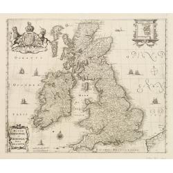
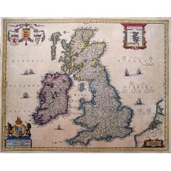
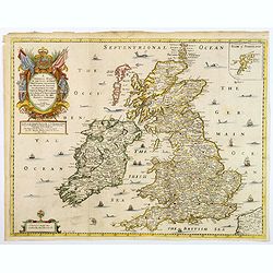
Magnae Britanniae et Hiberniae nova descriptio.
Map shows England, Scotland and Ireland, Shetland islands on separate insert in upper right corner. Belgium coastal area in right bottom. Large uncolored cartouche on top...
Place & Date: Frankfurt, c.1658
Selling price: $450
Sold in 2017
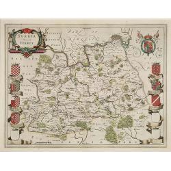
Surria Vernacle Surrey.
Highly decorative showing the seven coats of arms of the Surrey Earls all in full color. Shows towns of London and Kingston on the Thames River, Guildford, Croydon, Richm...
Place & Date: Amsterdam, 1658
Selling price: $725
Sold in 2009
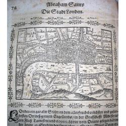
London.
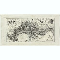
Very rare woodcut birds-eye view of London during the early 17th century. Shows numerous buildings and ships! From Saur's important work "Stätte-Buch.....
Place & Date: Frankfurt, 1658
Selling price: $150
Sold in 2009
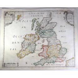
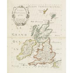
Carte Generale Des Royaume d'Angleterre, Ecosse et Irelande.
A fine example of Sanson's first map of the British Isles. The distortion of lreland and the condensed size of Scotland was caused by the projection used by Sanson. This ...
Place & Date: Paris, 1658
Selling price: $110
Sold in 2018
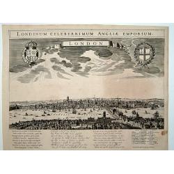
London. Londinum celeberrimum Angliae Emporium.
A rare panoramic view of London with over the whole length of the lower part 3 columns of poems in Latin, Dutch and French and a numbered key 1-43 to the principal buildi...
Place & Date: Amsterdam, 1660
Selling price: $3100
Sold
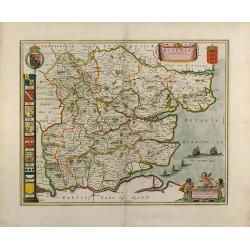
Essexia Comitatus
Outstanding attractive map of the country of Essex in UK. Showing London in the lower left corner. color is gold heightened, with king coats of arms and family coats of a...
Place & Date: 1660
Selling price: $600
Sold in 2008
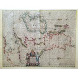
Pascaart vant Canaal, Tusschen Engelant en Vrancryck, alsmede ge heel Ierlant en Schotlant.
HEIGHTENED WITH GOLD LEAF. A beautifully colored chart of the coastal waters around the British Isles, northern France, and Ireland. With north oriented to the right, dec...
Place & Date: Amsterdam, 1660
Selling price: $800
Sold in 2016
Manica, gallis La Manche, et belgis Het Canaal.
Chart of the English Channel. Stretching from "Belle Isle" lower center, to Cardigan, top left- and Colchester, top right-hand side.
Place & Date: Amsterdam, 1660
Selling price: $110
Sold in 2014
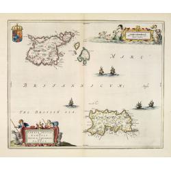
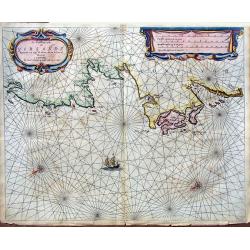
Sarnia Insula vulgo Garnsey et Insula Caesarea venacule Jarsey.
Very fine map depicting the English islands Jersey and Guernsey. Decorative cartouche with a shepherd, a shepherdess and sheep.The crown on top of the coat of arms height...
Place & Date: Amsterdam, 1660
Selling price: $675
Sold in 2014
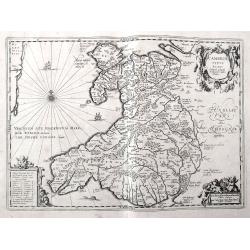
Cambriae Typus Auctore Humfredo Lhuydo.
Fantastic early map of Wales with sailing ships, a sea monster, compass rose, several putti, and an ornamental title cartouche. The map shows numerous towns, rivers, hill...
Place & Date: Amsterdam, ca. 1660
Selling price: $92
Sold in 2018
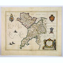
Comitatus Caernarvoniensis, Vernacule Carnarvonshire. Et Mona insula Vulgo Anglessey.
The detailed and decorative Blaeu double-page map of Caernarvon & Anglesey, with a decorative title cartouche depicting a farmer with his harvest, royal armorials and...
Place & Date: Amsterdam, ca 1660
Selling price: $55
Sold in 2019
Nieuwe en Perfeckte Caerte van Engelandt Schotlandt en Yerlandt. . .
A fine and decorative map of the British Isles. Embellished with sailing ships, coats of arms, and an inset map of the Orkney Islands.Hugo Allard (1625-1691) was a capabl...
Place & Date: Amsterdam, ca 1660
Selling price: $200
Sold in 2019
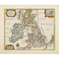
Veteris et Novae Britanniae Descriptio.
Rare map of the British Isles, with an inset map of the Orkney Islands in the upper right corner. Ornated with title cartouche, scale cartouche and compass rose.From a bo...
Place & Date: Wolfenbüttel 1661
Selling price: $105
Sold
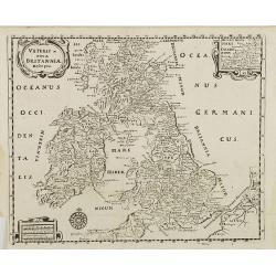
Veteris et nova Britannia descriptio.
Interesting map of the British islands from a German edition of Philipp Clüver's famous Introductionis in Universam geographicam, first published in Leiden in 1624. Phil...
Place & Date: Wolfenbüttel, 1661
Selling price: $50
Sold in 2008
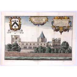
Burtoniensis ecclesiae, (in agro Staffordiensi)
A very decorative copper engraving of Burton-upon-Trent, England, engraved by Hollar, from Dugdale's book, published in London in 1661. Decorated with three beautiful car...
Place & Date: London, 1661
Selling price: $20
Sold in 2016
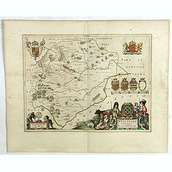
Rutlandia Comitatus. Rutland Shire.
One of the most decorative maps of the county Rutlandshire, with armorials, a scale cartouche and a rustic title cartouche It is richly embellished with an elaborate titl...
Place & Date: Amsterdam, 1661
Selling price: $45
Sold in 2020
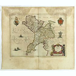
Comitatus Caernarvoniensis, Vernacule Carnarvon-Shire et Mona Insula Vulgo Anglesey.
One of the most decorative maps of Caernarvonshire and Anglesey with present-day Gwynedd and Mon. The map is embellished with the Royal Arms, the crest and feathered crow...
Place & Date: Amsterdam, 1661
Selling price: $45
Sold in 2020
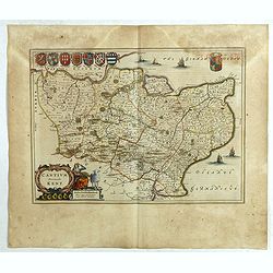
Cantium Vernacule Kent.
of the county of Kent. The map is embellished with the Royal Arms, the crest and feathered crown of the Prince of Wales. The decorative title and scale cartouche features...
Place & Date: Amsterdam, 1661
Selling price: $120
Sold in 2020
Londinum London.
A delightful and attractive small 17th century 'bird's-eye plan of London, by Rutger Hermannides; from his Britannia Magna sive Angliae, Scotiae, Hiberniae & Adjacent...
Place & Date: Amsterdam, 1661
Selling price: $160
Sold in 2022
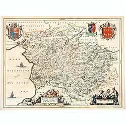
Montgomeria Comitatus et Comitatus Mervinia.
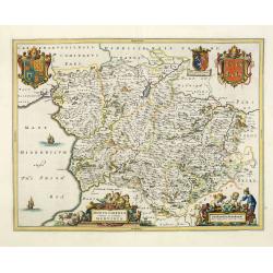
Double-page map of Montgomery shire and Merionethshire counties, Eastern and Western Wales. With elaborate title cartouche, distance scale and coats of Arms, including th...
Place & Date: Amsterdam, 1662
Selling price: $200
Sold in 2013
Nottinghamshire.
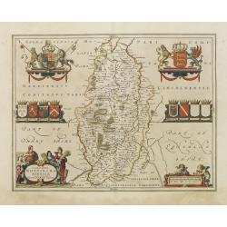
Map of the county of Nottinhgamshire from the spanish edition of the Atlas Major of Blaeu. Very nice original coloring with heightening of gold in the cartouches and cre...
Place & Date: Amsterdam 1662
Selling price: $150
Sold
Middle-sexia.
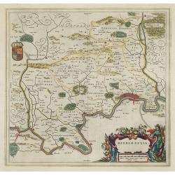
Double-page map of the old Middlesex County, including a marvelous depiction of London on the Thames in the lower right corner. Decorative cartouche and coat of arms. Lat...
Place & Date: Amsterdam, 1662
Selling price: $390
Sold in 2009
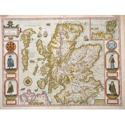
The Kingdome of Scotland.
Attractive rare "carte à figures"- map of Scotland embellished with the portraits of A Scotch man, A Highland Man, A Scotch Woman, and a Highland Woman.English...
Place & Date: London, 1662
Selling price: $2200
Sold in 2012
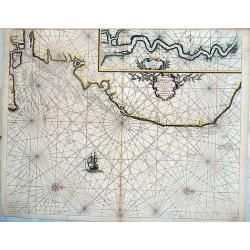
Pascaerte van Engelant vant Voorland tot aen Blakeney, waer in te sien is de mont vande Teemse. . .
Rare chart showing the West coast of England and the mouth of the River Thames. The upper right inset shows the Thames from London into the North Sea. With decorative flo...
Place & Date: Amsterdam, 1662
Selling price: $290
Sold in 2018
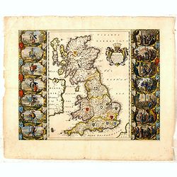
Britannia prout divisa suit temporibus Anglo-Saxonum, præsertim durante illorum Heptarchia.
Blaeu's decorative map shows the British Isles at the time of the Anglo-Saxon Heptarchy; the seven ancient kingdoms of Kent, the South Saxons, West Saxons, East Saxons, N...
Place & Date: Amsterdam, 1645-1662
Selling price: $400
Sold in 2015
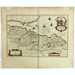
Lothian and Linlitquo.
Very detailed map and striking map of the areas of Lothian and Linlithgow in Scotland. Rare from Joan Blaeu's Atlas Major, with three added ships.The map centres on Edinb...
Place & Date: Amsterdam, 1662
Selling price: $200
Sold in 2018
Nithia Vicecomitatus, The Shirifdome of Nidis-dail / auctore Timotheo Pont.
Very detailed map and striking map of the areas of Nidis-dail in Scotland. Rare from Joan Blaeu's Atlas Major.Prepared by Timothy Pont and Robert Gordon. The map is enhan...
Place & Date: Amsterdam, 1662
Selling price: $70
Sold in 2019
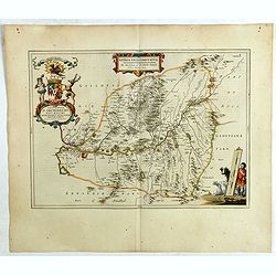
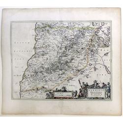
Carricta meridionalis, [vulgo], The South part of Carrick / auct. Timoth. Pont.
Very detailed map and striking map of the south part of Carrick in Scotland. Rare from Joan Blaeu's Atlas Major.Prepared by Timothy Pont and Robert Gordon. The map is enh...
Place & Date: Amsterdam, 1662
Selling price: $30
Sold in 2020
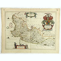
Cuninghamia / ex schedis Timotheo Pont , Ioannis Blaeu excudebat. Cunningham.
Very detailed map and striking map of Cunningham in Scotland. Rare from Joan Blaeu's Atlas Major.Prepared by Timothy Pont and Robert Gordon. The map is enhanced by a numb...
Place & Date: Amsterdam, 1662
Selling price: $70
Sold in 2019
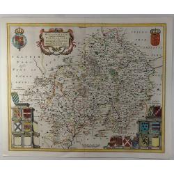
Wigorniensis Comitatus et Comitatus Warwicensis, nec non Coventrae libertas.
A beautifully, detailed 1662 French Edition of the Blaeu copper engraved map of Worcestershire and Warwickshire. The map provides excellent topographic details on cities,...
Place & Date: Amsterdam, 1662
Selling price: $130
Sold in 2019
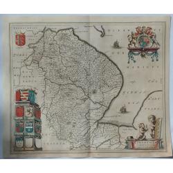
Lincolnia Comitatus. Anglia Lincoln-Shire.
A fine old color example of Blaeu's map of Lincoln, from his “Atlas Maior”, one of the most sought-after atlases by collectors and institutions today due to the atten...
Place & Date: Amsterdam, 1662
Selling price: $150
Sold in 2019
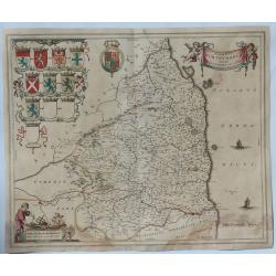
Comitatus Northumbria Vernacule Northumberland.
A fine very decorative old color map of Northumberland from the 1662 publication of Blaeu's “Atlas Major", one of the most sought-after atlases by collectors and i...
Place & Date: Amsterdam, 1662
Selling price: $115
Sold in 2019
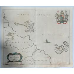
Insula Sacra vulgo Hosy Iland et Farne.
Map of Holy Island and Farne off the coast of Northumberland, in north east England, from the 1662 publication of Blaeu's “Atlas Major" one of the most sought-afte...
Place & Date: Amsterdam, 1662
Selling price: $160
Sold in 2019
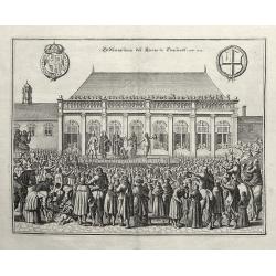
Endhauptung deß Königs in Engelandt Ano 1649.
A fine copperplate engraving, unnamed from Theatrum Europaeum, Volume 6, printed by Daniel Fievet, Frankfurt 1663.King Charles I King of England, Scotland and Ireland who...
Place & Date: Frankfurt,1663
Selling price: $260
Sold in 2011
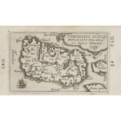
Hiberniae Insulae miraculis naturalibus pro digiosae delineatio.
Charming little map of Ireland made by Gabriel Bucelin (1599-1681). Bucelin was a Swiss genealogist and an author of several books and a number of manuscript maps of Germ...
Place & Date: Ulm, Johannes Görlin, 1658-1664
Selling price: $162
Sold in 2008
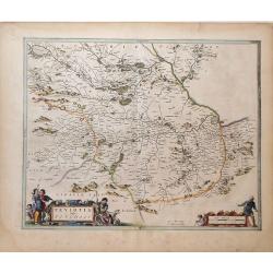
Teviotia Vulgo Tivedail
Beautiful map of Teviotdale, a region of Southeast Scotland, by Joan Blaeu. Shows the cities Selkirk and Kelso, along with the mountains, rivers and forests of the region...
Place & Date: Amsterdam, 1664
Selling price: $110
Sold in 2010
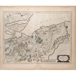
Moravia Scotiae provincial. . .
Beautiful map of Moray, a region of Northeast Scotland, by Joan Blaeu. Shows the towns of Inverness, Forres and Elgin, along with the mountains, rivers and forests of the...
Place & Date: Amsterdam, 1664
Selling price: $110
Sold in 2010
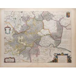
Regiones Inundata Infinibus comitatus Norfolcia, Suffolcia, Cantabrigia, Huntingtonia, Northhamtonia, et Lincolnia
Beautiful map of the East Anglia region of England, showing the counties of Norfolk, Suffolk, Cambridge, Huntington, Northampton and Lincoln, along with the mountains, ri...
Place & Date: Amsterdam, 1664
Selling price: $330
Sold in 2010
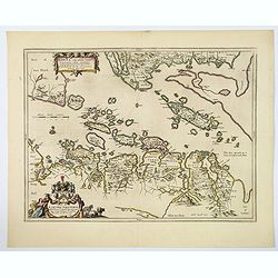
Lorn Wt the Yles and provinces bordering there-upon.
This is the lovely Blaeu map of Lorn, published in Amsterdam during the second half of the seventeenth century. The map is oriented to the west. Lorn is an area situated ...
Place & Date: Amsterdam, ca 1664
Selling price: $230
Sold in 2019
Montgomeria comitatus et comitatus Mervinia.
A beautifully engraved and presented map of the mid Welsh counties of Merionethshire and Montgomeryshire, as published in the Dutch edition of the Atlas Major.In addition...
Place & Date: Amsterdam, ca 1664
Selling price: $55
Sold in 2020
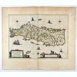
Leogus et Haraia, insulae ex Aebudarum numero . . .
This is an uncommon and lovely map of Lewis and Harris in the Western Isles. The map is oriented with west at top and is richly embellished with decorative cartouches sur...
Place & Date: Amsterdam, 1664
Selling price: $180
Sold in 2020
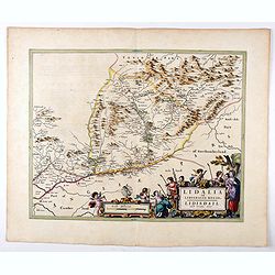
Lidalia el Lidisdalia Regio.
The region that this map covers is north-western England and the Scotland border. Solwat Forth is located in the lower left corner. The Hermitage Castle, built in 1244, i...
Place & Date: Amsterdam, 1664
Selling price: $100
Sold in 2021
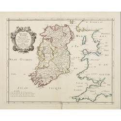
Irlande Royaume divisé en ses quatre provinces..
Covering Ireland. Nicolas Sanson was to bring about the rise of French cartography, although the fierce competition of the Dutch would last until the end of the century. ...
Place & Date: Paris 1665
Selling price: $150
Sold
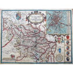
The West Ridinge of Yorkeshyre with The most famous and fayre Citie Yorke described 1610.
Speed's important and decorative map of Yorkshire. The county is shown with many place names, hundreds, rivers, hills, forests, and much more. It features several coats o...
Place & Date: London, ca. 1665
Selling price: $285
Sold in 2017
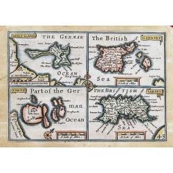
HOLYILAND; GARNSEY; FARNE; IARSEY;
"Miniature Speed" four maps one page: of Holy Island and Lindisfarne, the Channel Islands: Guernsey (including Herm & Sark) and Jersey. Very charming maps, ...
Place & Date: London, 1666
Selling price: $50
Sold in 2013
De Noordwest zyde van Yerlandt Beginnende van Capo de Hoorn; tot aen Schynes of Slyynhead . . .
A large, rare chart of part of the northwest coast of Ireland, including Achill Island, Donegal and Sligo.Originally produced by Theunisz Jacobsz for his Lichtende Colomn...
Place & Date: Amsterdam, 1666
Selling price: $390
Sold in 2019
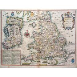
The Invasions of England and Ireland.
The Invasions of England and Ireland with all their Civill Wars since the Conquest.A finely engraved hand colored map with an attractive title cartouche that is surmounte...
Place & Date: London, c 1666
Selling price: $1900
Sold in 2014
Isles Britaniques. . .
Map of Great Britain prepared by N.Sanson and published by Pierre Mariette.Published in an early edition of the small Sanson atlas L'Europe Dediée a Monseigneur . . . Le...
Place & Date: Paris, P. Mariette, 1667
Selling price: $75
Sold in 2013
Carricta Meridionalis, The South part of Carrick.
Map of the south part of Carrick, a district in Scotland, outlined in colorful ribbons. Smaller town are shown within the region, many noticeably long the rivers that int...
Place & Date: Amsterdam, c. 1667
Selling price: $36
Sold in 2010
A Generall Mapp of the Isles of Great Britaine. . .
A copperplate border colored map of the British isles with an inset of 'Isles of Schetland', featuring a very decorative cartouche and scale. The earliest folio sized map...
Place & Date: Lonon, 1669
Selling price: $120
Sold in 2018
Abbildung der Statt und Revier von Rochester, Chetham...
Two views of the Dutch raid on the Medway in June 1667 during the Second Anglo-Dutch War, published in Merian's monumental Theatrum Europaeum. The scenes are drawn in gr...
Place & Date: Frankfurt, ca. 1670
Selling price: $50
Sold in 2022
LONDON BEFORE THE FIRE IN 1666
A rare, sought after 17th century plan of London prior to the Great Fire. The work is beautifully engraved and elaborately decorated with the arms of major London merchan...
Place & Date: London, ca. 1673
Selling price: $930
Sold
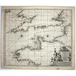
Het Canaal tusschen Engeland en Vranciick.
An eye-catching of the Channel.Pieter Goos (ca. 1616-1675) was one of the most important cartographer, engraver, publisher and print seller of Amsterdam. His widow conti...
Place & Date: Amsterdam, 1673
Selling price: $1500
Sold in 2015
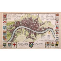
London.
An attractive early map of pre-fire London , decorated with the coats of arms of the City of London, fifteen of the great Livery and Merchant Companies, and those of Sir ...
Place & Date: London, 1673
Selling price: $700
Sold in 2013
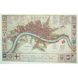
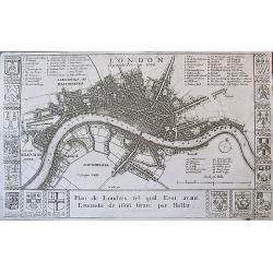
London before the Fire in 1666 / Plan de Londres tel quil Etoi avant L'incendie de 1666 Gravé par Hollar.
A rare 17th century plan of London. Richly decorated with the arms of some 16 London merchant houses. Three legend keys identify 69 points of interest on the map. The Tha...
Place & Date: London, ca. 1673
Selling price: $375
Sold in 2017
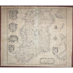
A Mapp of the Kingdome of Ireland.
From 'Britannia', first published in 1673. The map is based on John Speed's map. The map has five Coats of Arms. In this much rarer edition Boyle's Coat of Arms at the to...
Place & Date: London, 1673
Selling price: $300
Sold in 2018
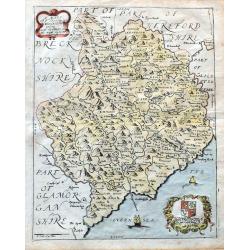
A Mapp of ye County of Mounmouthshire with Hundreds.
A very attractive map of Monmouthshire in Wales, which appeared in Richard Blome's 'Britannia'. Detailed with place names, rivers, and hills. Decorated with the title car...
Place & Date: London, 1673
Selling price: $40
Sold in 2020
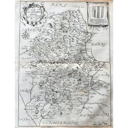
A Mapp of Staffordshire with its hundreds.
An early and attractive map of Staffordshire, published in Richard Blome's 'Britannia'. Very detailed with many place names, rivers, and hills. Decorated with the title c...
Place & Date: London, 1673
Selling price: $16
Sold in 2020
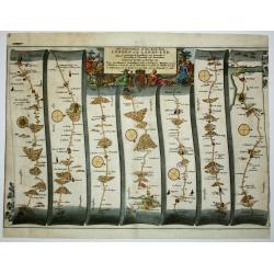
The Continuation of the Road from London to the Lands-end
This map is from John Ogilby's 'Britannia', published between 1675 and 1698. It is a landmark in the mapping of England and Wales. Its unique format constituted the first...
Place & Date: London, 1675
Selling price: $250
Sold in 2012
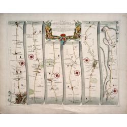
The Road from London to Harwich .
First edition. This strip map is from the "Britannia" by John Ogilby, published in 1675 identified by no sheet number. It is entitled " The Road from Londo...
Place & Date: London, 1675
Selling price: $165
Sold in 2014
Collegium Orlielence (Oriel College)
From ”Oxonia Illustrata”, the first illustrated book on Oxford, and one of the major works of the 17th century.The book was the product of several years of devoted an...
Place & Date: Oxford, 1675
Selling price: $27
Sold in 2019
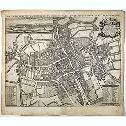
Nova & Accuratissima Celeberrimae Universitatis Civitatisque Oxoniensis Scenographia.
The most prominent historical map of Oxford by David Loggan (1634 - 1692), and has the added cache of having been printed in that city, drafted by a local resident. The m...
Place & Date: Oxford, 1675
Selling price: $1300
Sold in 2017
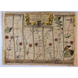
The Road from London To Montgomery North Wales. . .
A sheet showing part of the route from London to Montgomery in Worcestershire that includes the towns of Evesham, Worcester, Ludlow and Montgomery. Taken from John Ogilby...
Place & Date: London, 1675
Selling price: $210
Sold in 2017
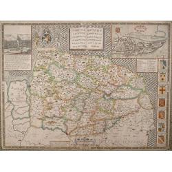
NORFOLK A COUNTIE FLORISHING & POPULOUS DESCRIBED AND DEVIDED WITH THE ARMES OF SUCH NOBLE FAMILIES AS HAVE BORNE THE TITLES THEREOF.
John Speed's fine map of county published in London by Bassett & Chiswell 1676. The map is embellished with an inset town plan of Norwich, the royal arms with support...
Place & Date: London 1676
Selling price: $400
Sold in 2013
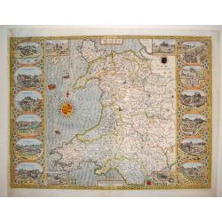
Wales
This is a spectacular and sought after map of Wales by John Speed. Considered to be the most decorative map of the country ever published. The work contains twelve large ...
Place & Date: London, ca. 1676
Selling price: $2400
Sold
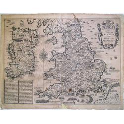
The Invasions of England and Ireland ...
A finely engraved map with an attractive title cartouche that is surmounted by royal arms, a compass rose and rhumb lines. The content of this map features the invasions ...
Place & Date: London, 1676
Selling price: $900
Sold in 2009
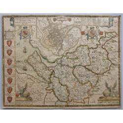
The Countye Palatine with the most ancient citie described.
The excellent county map of Cheshire, first published in Speed's “Theatre of Empire” in 1611, this is the 1676 edition with the Bassett & Chiswell imprint. The ma...
Place & Date: London, 1676
Selling price: $400
Sold in 2020
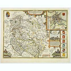
Herefordshire described. . .
The 1676 edition map of Herefordshire by John Speed, and published by Bassett & Chiswell in London. A decorative English county map, embellished with strapwork title ...
Place & Date: London, 1676
Selling price: $100
Sold in 2020
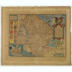
The Countie and Citie of Lyncolne. . .
John Speed's attractive map of Lincolnshire. Published at the back end of the seventeenth century by Basset & Chiswell in London. The left of the map features a town ...
Place & Date: London, 1676
Selling price: $60
Sold in 2021
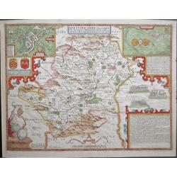
'Hartford Shire described, The situations of Hartford and the most ancient towne S.Albons with such memorable actions as have happened'
Full title as it appears at the top of the map: 'Hartford Shire described, The situations of Hartford and the most ancient towne S.Albons with such memorable actions as h...
Place & Date: London, 1676
Selling price: $475
Sold in 2020
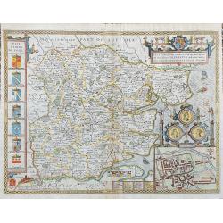
Essex, devided into Hundreds...
Speed's famous map of Essex. From London until Harwich. With an inset plan of Colchester. Richly decorated with coats of arms and seals, sailing ships, a sea-monster, and...
Place & Date: London, 1676
Selling price: $280
Sold in 2023
Nonclutz. [Hampton Court near London]
A very nice depiction of Hampton Court castle near London. In the foreground a pelican, a doe, a rabbit, a fox and a wild cat. With a verse in two languages underneath th...
Place & Date: Frankfurt, 1623-1678
Selling price: $105
Sold in 2011
Vindesor in Engellandt [Windsor castle near London]
A very nice depiction of Windsor Castle near London. In the foreground a shepherd and a court guard. With a verse in two languages underneath the picture. The poet and ...
Place & Date: Frankfurt, 1623-1678
Selling price: $80
Sold in 2011
Nonclutz. [Nonsuch Place near London]
A very nice view of the castle Nonsuch Place near London. On the foreground, a pelican, a doe, a rabbit, a fox and a wild cat, among with two noble man. With a verse in t...
Place & Date: Frankfurt, 1623-1678
Selling price: $10
Sold in 2023
![Carricta meridionalis, [vulgo], The South part of Carrick / auct. Timoth. Pont.](/uploads/cache/42489-250x250.jpg)

![Nonclutz. [Hampton Court near London]](/uploads/cache/91839-250x250.jpg)
![Vindesor in Engellandt [Windsor castle near London]](/uploads/cache/91840-250x250.jpg)
![Nonclutz. [Nonsuch Place near London]](/uploads/cache/13777-250x250.jpg)