Browse Listings in Antique Maps > Europe > British Isles
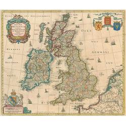
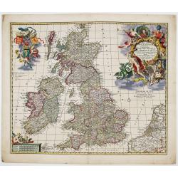
Magna Britanniae, tabula, angliam, scotiam, et hiberniam continens.
Decorative Visscher map of the British Isles
Place & Date: Amsterdam, c.1679
Selling price: $350
Sold in 2010
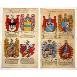
(2 Engravings) Achievements of Baronets & Achievements of Esquires.
Two stunning, hand-colored, copper engravings from Guillim's Heraldry which include the following names: VYNER, WOLSTENHOLME, GLEANE, IASON, BROUNCKER, VERNON, CUDMORE AN...
Place & Date: London, 1679
Selling price: $56
Sold in 2017
Four full portraits of English Noblemen.
Engravings of James Duke of York and Albany, Charles the second, Anthony Earl of Shaftsbury, - Portrait of Sir William de la More, full-length, standing to the right, in ...
Place & Date: London, ca. 1679
Selling price: $150
Sold in 2016
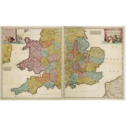
Lancaster Occidentalior Regni Angliae Districtus..., together with Orientalior Districtus Regni Angliae?
Decorative map of England and Wales on two sheets, ornamental title cartouche incorporating classical figures.
Place & Date: Amsterdam 1680
Selling price: $325
Sold
Abbildüng der Statt LONDON, sambt dem erschröcklichen brandt [?] A° 1666 ..
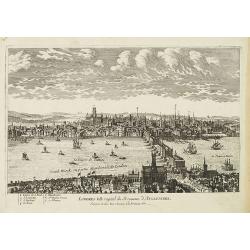
Decorative view of London, showing the great fire of 1666. Very decorative and of the highest standing of engraving.
Place & Date: Frankfurt 1680
Selling price: $600
Sold
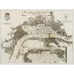
Gründtriss der Statt LONDON, wie folche vor und nach dem Brand anzüseher s..
Decorative plan of London. With inset map showing the future design after the great fire. Very decorative and of the highest standing of engraving.
Place & Date: Frankfurt 1680
Selling price: $500
Sold
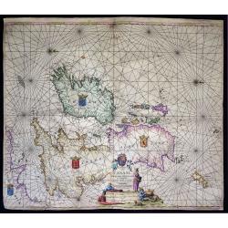
Pascaart vande Canaal, Engeland, Schotland, en Yrland.
A large nautical map of the complete British Isles, beautifully decorated with an elaborate title cartouche, coats of arms and compass roses. Lacking van Keulen’s privi...
Place & Date: Amsterdam, before 1680
Selling price: $475
Sold in 2019
[Lot of 2 charts and 40 pages of text with prints of coastal profiles] Nieuwe Pascaert vande Oost Cust van Schotlandt Beginnende van Barwyck tot aen de Orcades Ylanden. [Together with a sea-chart of England's east coast.]
A fine seachart of the east coast of Scotland with the Orkney Islands. Embellished with two cartouches.From the ' Nouveau et Grand Illuminant Flambeau de la Mer'.The succ...
Place & Date: Amsterdam, c. 1680
Selling price: $218
Sold in 2022
[Lot of 11 maps / prints of the United Kingdom.]
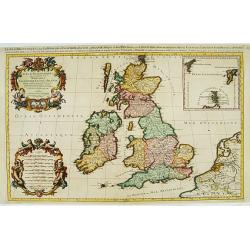
An attractive map of the United Kingdom, with an inset map depicting the Orcades and Shetland islands. Embellished with two cartouches.[lot of 11 maps / prints]
Place & Date: Amsterdam, c. 1680
Selling price: $325
Sold in 2022
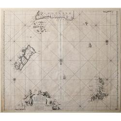
Paskaart vande Noord Cust van Schotland als mede de Eylanden van Hitlandt en Fero.
Sea chart of Northern Scotland with the Orkney islands, the Shetland Islands and the Faroe Islands, oriented to the South.From: De Nieuwe Groote Lichtende Zee-Fakkel, .....
Place & Date: Amsterdam, 1682
Selling price: $120
Sold in 2014
Nieuwe Pascaert van de oost cust van Schotlandt beginnende van Barwyck tot aen de Orcades Ylanden.
Sea chart of the east coast of Scotland, oriented to the West. With engraved plate number 18.
Place & Date: Amsterdam, 1682
Selling price: $210
Sold in 2013
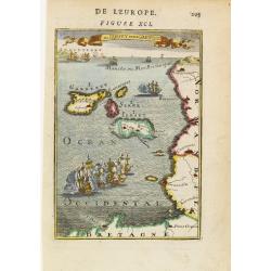
Is de Jersey et de Garnesey.
A fine and uncommon early 18th century birds-eye view of Jersey and Guernsey. Numerous tall masted ships may be seen, including two engaged in battle in the foreground.Fr...
Place & Date: Paris 1683
Selling price: $50
Sold
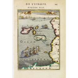
Is de Jersey et de Garnesey.
A fine and uncommon early 18th century birds-eye view of Jersey and Guernsey. The North Sea filled with numerous ships.From the French text edition of Description d'Unive...
Place & Date: Paris, 1683
Selling price: $55
Sold
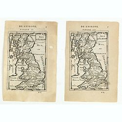
(Two maps) Isle d\'Albion.
Finely etched map of the British Isles (figure II and Figure III.) From the French text edition of Description d'Univers.. , published in 5 volumes in 1683 by Allain Mann...
Place & Date: Paris, 1683
Selling price: $17
Sold in 2015
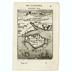
Isle de Wigh. (Isle of Wight)
A charming map of the Isle of Wight. Title in curtain draped at top. French text on verso.From the original 1683 text edition of "Description d'Univers. . ." by...
Place & Date: Paris, 1683
Selling price: $50
Sold in 2022
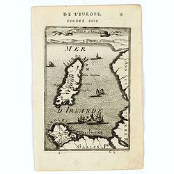
Isle de Man et d'Anglesey. (Isles of Man and Anglesey.)
A charming map of the Islands of Man and Anglesey. Title in curtain draped at top. French text on verso.From the original 1683 text edition of "Description d'Univers...
Place & Date: Paris, 1683
Selling price: $40
Sold in 2020
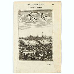
Londres. (View of London)
A charming panoramic view of London. Title in curtain draped at top. French text on verso.From the original 1683 text edition of "Description d'Univers. . ." by...
Place & Date: Paris, 1683
Selling price: $85
Sold in 2020
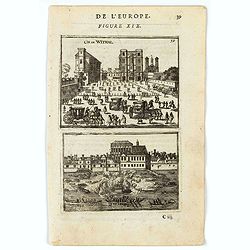
Ch. De Withal. (Withal Castle)
A charming view of While Hall and a scene on the River Thames. Title in curtain draped at top. French text on verso.From the original 1683 text edition of "Descripti...
Place & Date: Paris, 1683
Selling price: $20
Sold in 2022
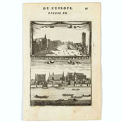
Westminster-Hall . Westminster.
Two charming views of Westminster, one from the main square and one from across the Thames.Title in curtain draped at top. French text on verso.From the original 1683 tex...
Place & Date: Paris, 1683
Selling price: $45
Sold in 2022
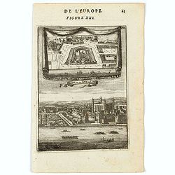
La tour de Londres. Profil de la Tour de Londres (The tower of London. Profile of the Tower of London)
Two charming views of The tower of London and a profile of the Tower of London seen from the River Thames.Title in curtain draped at top. French text on verso.From the or...
Place & Date: Paris, 1683
Selling price: $50
Sold in 2022
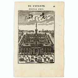
Bourse de Londres. (London Stock Exchange)
A charming view of the London Stock Exchange. Title in curtain draped at top. French text on verso.From the original 1683 text edition of "Description d'Univers. . ....
Place & Date: Paris, 1683
Selling price: $75
Sold in 2022
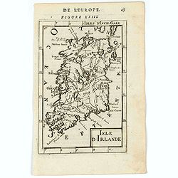
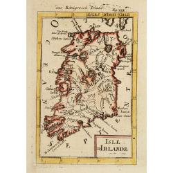
Isle d'Irlande (Ireland).
A charming map of Ireland. Title in curtain draped at top. French text on verso.From the original 1683 text edition of "Description d'Univers. . ." by Allain Ma...
Place & Date: Paris, 1683
Selling price: $26
Sold in 2023
Royaume d'Irlande (Kingsom of Ireland).
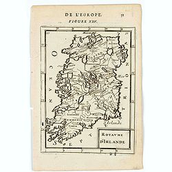
A charming map of Ireland. Title in curtain draped at top. French text on verso.From the original 1683 text edition of "Description d'Univers. . ." by Allain Ma...
Place & Date: Paris, 1683
Selling price: $50
Sold in 2023
Dublin.
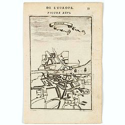
A charming plan of Dublin with its river and the environs.Title in curtain draped at top. French text on verso.From the original 1683 text edition of "Description d'...
Place & Date: Paris, 1683
Selling price: $50
Sold in 2020
Royaume d'Irlande.
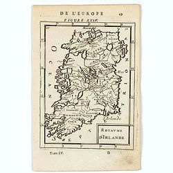
A charming miniature map of Ireland Title in curtain draped at top. French text on verso.From the original 1683 text edition of "Description d'Univers. . ." by ...
Place & Date: Paris, 1683
Selling price: $30
Sold in 2022
Ancienne Isle d'Hibernie.
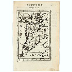
A charming map of ancient Ireland. Title in curtain draped at top. French text on verso.From the original 1683 text edition of "Description d'Univers. . ." by A...
Place & Date: Paris, 1683
Selling price: $30
Sold in 2020
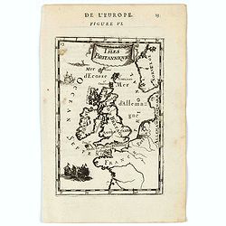
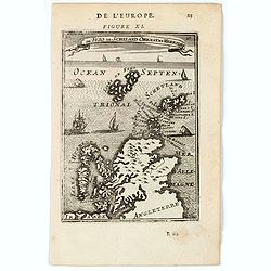
Isles Britanniques.
A charming map of British Isles. Ships in the seas. Title in curtain draped at top. French text on verso.From the original 1683 text edition of "Description d'Univer...
Place & Date: Paris, 1683
Selling price: $50
Sold in 2020
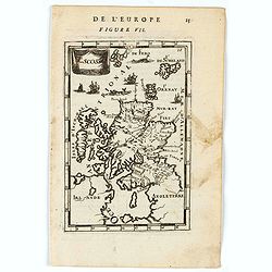
Ecosse.
A charming miniature map of Scotland. Title in curtain draped at top. French text on verso.From the original 1683 text edition of "Description d'Univers. . ." b...
Place & Date: Paris, 1683
Selling price: $50
Sold in 2020
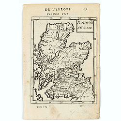
Royaume d'Ecosse.
A charming miniature map of Scotland. Title in curtain draped at top. French text on verso.From the original 1683 text edition of "Description d'Univers. . ." b...
Place & Date: Paris, 1683
Selling price: $40
Sold in 2020
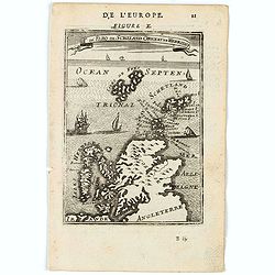
Is. De Fero de Scheland. Orknay et Hebrides.
A charming miniature map of the Faroe Islands, and the Shetland, Orkney, and Hebrides.Title in curtain draped at top. French text on verso.From the original 1683 text edi...
Place & Date: Paris, 1683
Selling price: $30
Sold in 2020
Is. De Fero de Scheland. Orknay et Hebrides.
A charming miniature map of the Faroe Islands, and the Shetland, Orkney, and Hebrides.Title in curtain draped at top. French text on verso.From the original 1683 text edi...
Place & Date: Paris, 1683
Selling price: $30
Sold in 2020
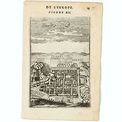
Edimbourg.
A charming bird's-ey plan of Edinburgh. Title in curtain draped at top. French text on verso.From the original 1683 text edition of "Description d'Univers. . ."...
Place & Date: Paris, 1683
Selling price: $70
Sold in 2020
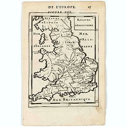
Royaume d'Angleterre.
A charming miniature map of England, Wales and Southern Scotland. Title in curtain draped at top. French text on verso.From the original 1683 text edition of "Descri...
Place & Date: Paris, 1683
Selling price: $30
Sold in 2020
Isle d'Irlande.
A charming late 17th century French map of Ireland, by Allain Manneson Mallet (1630-1706), a well travelled military engineer and geographer who worked in 17th century Fr...
Place & Date: Franckfurt 1684
Selling price: $60
Sold
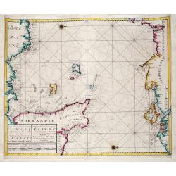
Nieuwe Zeekaart van het Tweede gedeelte van het Canaal Tusschen Engeland en Vrankryk. / ...Chanell betwext England and France.
A detailed chart of the Channel with the coasts of Normandy and part of Bretagne with Guernsy and Jersey and the south coast of England between Chichester and Exmouth wit...
Place & Date: Amsterdam, ca 1685
Selling price: $700
Sold in 2019
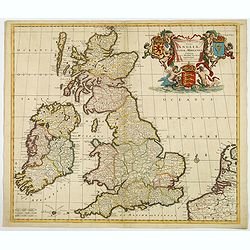
Novissima et Accuratissima Totius Angliae Scotiae et Hiberniae. . .
This is a rare Danckerts edition, of a large decorative map of the British Isles that is filled with excellent detail on towns and counties. It is funrnished with a strik...
Place & Date: Amsterdam ca 1685
Selling price: $400
Sold in 2019
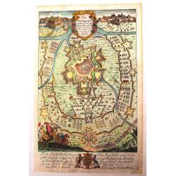
The Scenography of a Town & Castle
A very detailed copper engraved city plan published in "The Gentleman's Recreation" in 1686. It shows "the outworks and the manner of carrying on a siege&q...
Place & Date: London - 1686
Selling price: $50
Sold in 2013
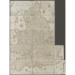
The Travellers Guide being the best Mapp of the Kingdom of England and Principality of Wales. (England & Wales wall map sections).
Fith state of Philip Lea's version of Christopher Saxton's large scale map of England and Wales first published in 1583; this state published Philip Lea, Globe maker at y...
Place & Date: England, 1583 / ca. 1687
Selling price: $1300
Sold in 2020
[British Isles ]
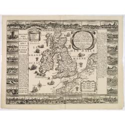
Charming wood block map of British Isles by the Italian XVIth and XVIIth century writer, humanist and cartographer Giuseppe Rosaccio. Taken from the 1688 Bologna "Te...
Place & Date: Bologna, Antonio Pisarri, 1594 - 1688
Selling price: $215
Sold in 2011
A New Mapp of the Kingdome of England, Representing the Princedome of Wales, and other Provinces, Cities, Market Towns, with the roads from Town to Town.
Interesting road map with English text by Visscher of England and Wales, focusing on the distances between cities and market towns. The map was published by Visscher, but...
Place & Date: Amsterdam, 1688
Selling price: $835
Sold in 2009
Carte des Isles Britanniques ou sont les Royaumes d'Angleterre, et d'Ecosse. . .
A map of England, with a revised date 1688 and published by the widow or daughters of Pierre Du Val (1619-83). The map shows the main towns and has a florid rococo cartou...
Place & Date: Paris, 1665-1688
Selling price: $675
Sold in 2011
L'Isole Britanniche ouero l'Inghilterra...
Fine map engraved by Giorgio Wittman. Giacomo Rossi's fine late 17th century map of British Islands. Issued in Il Mercurio geografico In upper left hand corner large titl...
Place & Date: Rome, 1677-1688
Selling price: $175
Sold in 2015
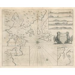
The Chiefe Harbours in the Islands of Orkney
This interesting sea chart is the work of Captain Greenville Collins, hydrographer to the King Charles II of England in the 17th century, and one of the best known Englis...
Place & Date: London, 1688
Selling price: $150
Sold in 2023
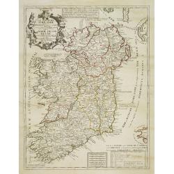
L'Irlande suiant les dernieres relations..
Rare miniature map of Ireland by N. de Fer, dated 1689.
Place & Date: Paris 1689
Selling price: $140
Sold
L'Angleterre et L'Ecosse suivant des dernieres relations..
Rare miniature map of England and Scotland by N. de Fer.
Place & Date: Paris 1689
Selling price: $130
Sold
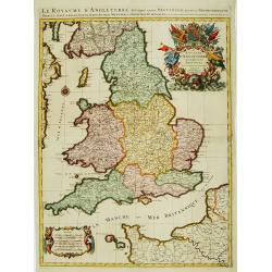
Le Royaume d'Angleterre Divise en plusieurs Parties..
Uncommon map of England. This large one-sheet map of England and Wales was produced by the Venetian cosmographer Vincenzo Coronelli when he was working in Paris in the 16...
Place & Date: Paris, 1689
Selling price: $500
Sold in 2016
Le Royaume d'Angleterre.
An attractive map centered on England, Wales and southern part of Scotland.
Place & Date: Paris, 1689
Selling price: $300
Sold in 2008
Parte Meridionale del Regno D'Inghilterra, Descritto, e Dedicato Dal P. Cosmografo Coronelli, All Illstrissimo, et Eccellentissimo Signor Caualiere Angelo Morosini, Procuratore de S. Marco, etc.
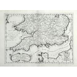
Attractive map of the Southern portion of England, extending North To 53 degrees. Shows counties, towns, roads, rivers and Islands, etc. Accompanying Italian text on vers...
Place & Date: Venice, 1689
Selling price: $550
Sold in 2010
L\'Irlanda o uero Hibernia...
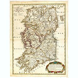
Giacomo Rossi's fine late 17th century map of Ireland. Issued in Il Mercurio geografico In lower right a tittle cartouche.The cartographer was Giacomo Cantelli da Vignola...
Place & Date: Rome, 1689
Selling price: $210
Sold in 2015
Isle et Royaume d'Irlande..
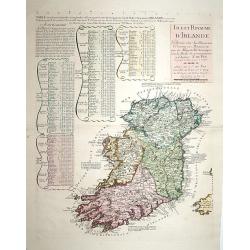
"Detailed map of Ireland, including also a list of all the counties and main towns and their location. With the address "" A Paris chez le Sr. N. De Fer, d...
Place & Date: Paris 1690
Selling price: $560
Sold
Novissima et Accuratissima Totius Angliae Scotiae..
Rare issue of Justus Danckert's attractive map of Great-Britain. With the imprint of Justus in place of Theo in the title. The plate is also been retouched in several pla...
Place & Date: Amsterdam, 1690
Selling price: $600
Sold in 2013
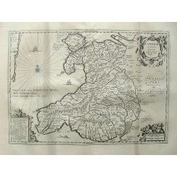
Cambriae typus, Auctore Humfredo Lhuydo.
From the Hornius edition of the Ancient Atlas by Janssonius. No text on verso.Engraved by Petrus Kaerius.
Place & Date: Amsterdam, ca 1690
Selling price: $160
Sold in 2013
Der König Krönung Actus Wilhelmini III und Mariae in England zu Londen.
Engraved by M. Merian, from "Theatrum Europaeum".
Place & Date: Frankfurt, 1690
Selling price: $65
Sold in 2013
Le Royaume d'Irlande ...
Uncommon map of Ireland. A visually stunning map with a large title cartouche. This large one-sheet map was produced by the Venetian cosmographer Vincenzo Coronelli when ...
Place & Date: Paris, 1690
Selling price: $350
Sold in 2013
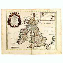
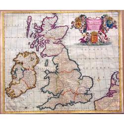
Novissima et Accuratissima Totius Angliae, Scotiae et Hiberniae Tabula.
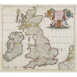
An extremely decorative, uncommon map of the British Isles, with a superb title cartouche featuring putti holding up the arms of England, Scotland and Ireland, in full co...
Place & Date: Amsterdam, ca 1690
Selling price: $350
Sold in 2014
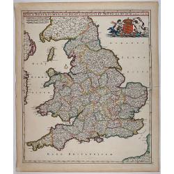
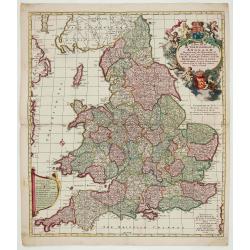
Anglia Regnum In Omnes Suos Ducatus, Comitatus, et Provincias Divisum.
Decorative map of England and Wales showing immense detail of the cities and towns, colored by counties. Very decorative cartouche with mermaids holding up the arms of En...
Place & Date: 1690
Selling price: $350
Sold in 2018
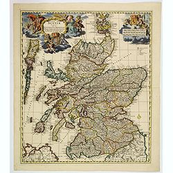
Exactissima regni Scotiae tabula. . .
A superb map of Scotland by Visscher, published in Amsterdam at the end of the seventeenth century. All the Scottish counties are colored in outline. There is a tremendou...
Place & Date: Amsterdam, 1690
Selling price: $350
Sold in 2019
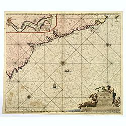
Nieuwe Pas-kaert vande Oost Kust van Engeland en Schotland. . .
A delightful Dutch maritime chart that includes the east coast of England, running from Berwick in Northumberland, southwards to Burlington in Yorkshire. A nice inset map...
Place & Date: Amsterdam, 1690
Selling price: $300
Sold in 2019
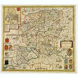
Hampshire.
Christopher Saxton’s sumptuous county map of Hampshire together with the northern part of the Isle of Wight, first issued in 1575, 'Corected & many Additions by P. ...
Place & Date: London, ca 1690
Selling price: $555
Sold in 2021
A New Mapp of the Kingdome of England.
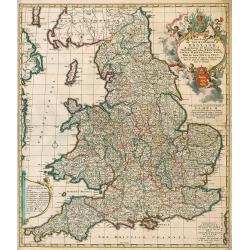
Very decorative map of England and Wales by Nicolaes Visscher II, comes from the atlas “Atlas Minor, sive geographia compendiosa qua orbis terrarum. . . ”.
Place & Date: Amsterdam, c. 1690
Selling price: $400
Sold in 2022
Magnae Britanniae Tabula; Comprehendens Angliae, Scotiae ac Hiberniae Regna
Very decorative map of Great Britain by Nicolaes Visscher II, dedicated to William III, King of England, Scotland and Ireland.Map comes from the atlas “Atlas Minor, siv...
Place & Date: Amsterdam, c. 1690
Selling price: $475
Sold in 2023
Nouvelle carte d'Angleterre avec les royaumes d'Ecosse et d'Irlande . . .
Decorative and very rare "carte ?? figures"- map of the British Isles by Fran?ois Jollain (ca. 1641 – 18 April 1704). In the center of the map the British Isl...
Place & Date: Paris, 1691
Selling price: $7100
Sold in 2013
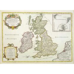
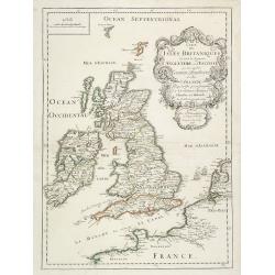
Les Isles Britanniques qui contiennents les- Royaumes, d' Angleterre, Escosse, et Irlande.
Large scale map of England, Scotland and Ireland. To the left inset map of Shetland Islands, Orcades and Orkney.Prepared by Sanson and published by Jaillot.Very large and...
Place & Date: Paris 1692
Selling price: $250
Sold
Londres Ville Capital du Royaume d'Angleterre. . .
A very decorative and extremely raretown-viewof London, including a numbered key ( 1- 7) in lower part. Engraved by Pierre-Alexandre Aveline. With "fait par Aveline ...
Place & Date: Paris, ca.1692
Selling price: $600
Sold
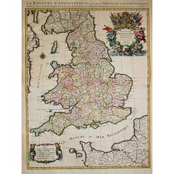
Le Royaume d'Angleterre distingué en ses provinces.
Fine map of England and Wales that is fully and richly engraved. Large and extremely decorative cartouche with angels, flags, seal of England, etc. Six distance scales wi...
Place & Date: Paris 1693
Selling price: $280
Sold
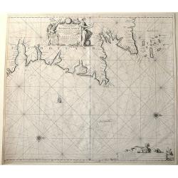
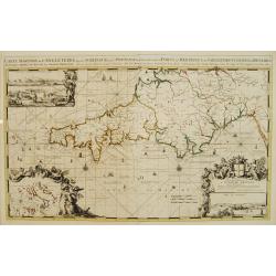
Carte Maritime de L'Angleterre depuis les Sorlingue jusques à Portland..
From the first edition of Mortier's Atlas Maritime, showing Cornwall and inset panoramic view of Portland.From Mortier's Neptune François , one of the most spectacular c...
Place & Date: Amsterdam 1693
Selling price: $1550
Sold
Le Royaume D' Angleterre distingué en ses Provinces.
Alexis-Hubert Jaillot (1632-1712), French cartographer. he joined the Sanson heirs. He redrew Nicolas Sanson's maps on a larger scale. 'Atlas Nouveau' (1674), sea-atlas '...
Place & Date: Amsterdam, 1693
Selling price: $575
Sold in 2010
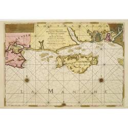
Carte Particulière des Costes Meridionales d'Angleterre qui comprend L'Isle de Wicht..
Superb sea chart of the Isle of Wight and the South Hampshire coast between Bournemouth and Portsmouth. Three elaborate compass roses and rhumb lines grace the chart. Fro...
Place & Date: Paris, (Amsterdam), 1693
Selling price: $300
Sold
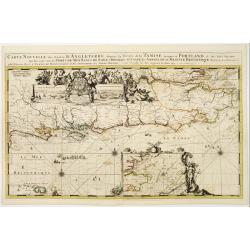
Carte nouvelle des costes d'Angleterre depuis la riviére de la Tamise jusques à Portland, & des Isles voisines..
Fine chart from the first edition of Mortier's Atlas Maritime, showing the south eastern coast of England, with river Thames.From Mortier's Neptune François , one of the...
Place & Date: Amsterdam 1693
Selling price: $1850
Sold
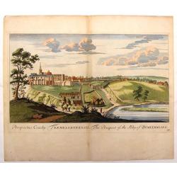
The Prospect of the Abby of Dumeermling.
Hand-colored, topographical engraving by John Slezer from "THEATRUM SCOTIAE", published in Scotland in 1693. This publication contained the prospects of their m...
Place & Date: Edinburgh, 1693
Selling price: $17
Sold in 2018
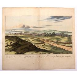
The Coast of Lothian from Stony Hill.
Hand-colored, topographical engraving by John Slezer from "THEATRUM SCOTIAE", published in Scotland in 1693. This publication contained the prospects of their m...
Place & Date: Edinburgh, 1693
Selling price: $47
Sold in 2019
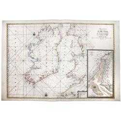
Carte Generale des Costes D'IRLANDE, et des Costes Occidentales D' ANGLETERRE avec une Partie de celles D' ECOSSE.
A magnificent chart of Ireland and the British Coast from Plymouth in Cornwall to Ayr in Scotland. A detailed inset chart of the River Dee as far as Holt is included in t...
Place & Date: Paris, 1693
Selling price: $600
Sold in 2019
Urbis Edinae Facies Meridionalis Septentrionale. [ Edinburgh]
Two engraved panoramic views on one double-page engraved map sheet, key below each view. The town seen from the north and south. Title in Latin and English. Rare early vi...
Place & Date: Amsterdam, ca. 1694
Selling price: $1500
Sold in 2009
[Two maps] Parte settentrionale dell' Irlanda descritta.. / Irlanda Parte Meridionale..
A two sheet map of Ireland. The remarkable Vincenzo Coronelli (1650-1718), encyclopaedist, geographer, inventor and Doctor of Theology, was citizen of the Republic of Ven...
Place & Date: Venice 1695
Selling price: $1550
Sold
Les Isles Britanniques ou sont le R.me d'Angleterre.. d'Ecosse.. d'Irlande.
RARE, according Shirley a fourth state with erased date but still with Jaillot's name in the dedication followed by his title as royal geographer. With address "Ché...
Place & Date: Paris, after 1695
Selling price: $375
Sold in 2011
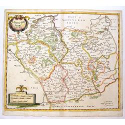
Leicestershire.
Fine, detailed English county map by Morden. Decorative title and scale cartouches. Robert Morden (c.1650-1703) was an English bookseller, publisher, and maker of maps a...
Place & Date: London, 1695
Selling price: $80
Sold in 2014
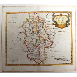
Bedfordshire.
County map of Bedfordshire by Morden. Nice cartouche. Published for "Camden's Britannia" Robert Morden (c.1650-1703) was an English bookseller, publisher, and ...
Place & Date: London, 1695
Selling price: $35
Sold in 2013
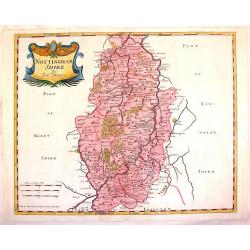
Nottinghamshire.
Striking copperplate map of Nottinghamshire showing details of cities, towns, rivers, roads and forests. Fine cartouche in left top corner. Robert Morden (c.1650-1703) wa...
Place & Date: London, 1695
Selling price: $21
Sold in 2015
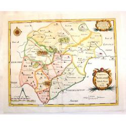
Comitatus Rotelandiae Tabula Nova & Aucta.
Nice 17th century copper engraved map featuring the Rutland county in England. Features the cities of Okeham & Uppingham and has two fancy Rococco title & descrip...
Place & Date: London, 1695
Selling price: $22
Sold in 2015
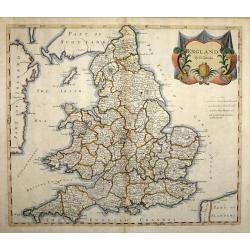
England by Robert Morden
The ornate title cartouche is inscribed with ‘England by Rob Morden’. A decorative map of England and Wales with part of Ireland and Scotland in outline, published ...
Place & Date: London, 1695
Selling price: $150
Sold in 2014

![Abbildüng der Statt LONDON, sambt dem erschröcklichen brandt [?] A° 1666 ..](/uploads/cache/23991-250x250.jpg)
![[Lot of 2 charts and 40 pages of text with prints of coastal profiles] Nieuwe Pascaert vande Oost Cust van Schotlandt Beginnende van Barwyck tot aen de Orcades Ylanden. [Together with a sea-chart of England's east coast.]](/uploads/cache/18507-(1)-250x250.jpg)
![[Lot of 11 maps / prints of the United Kingdom.]](/uploads/cache/100251-(1)-250x250.jpg)
![[British Isles ]](/uploads/cache/30326-250x250.jpg)

![Urbis Edinae Facies Meridionalis Septentrionale. [ Edinburgh]](/uploads/cache/27803-250x250.jpg)
![[Two maps] Parte settentrionale dell' Irlanda descritta.. / Irlanda Parte Meridionale..](/uploads/cache/23418-250x250.jpg)
