Browse Listings in Antique Maps > Europe > British Isles
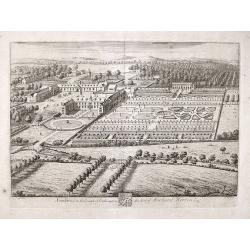
Southwick in the County of Southampton Seat of Richard Norton Esq.
Engraved by Joannes Kip after the drawing by Leonard Knyff. Plate 74 from "Britannia Illustrata or Views of Several of the Queens Palaces and also of the Principal S...
Place & Date: London, 1720
Selling price: $60
Sold in 2017
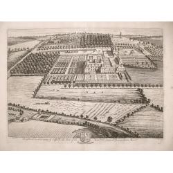
Brightwel in the County of Suffolk the seat of the Honourable Sir Barnardiston Barr.
Brightwel in the County of Suffolk the seat of the Honourable Sir Barnardiston Barr. Plate 52 from "Britannia Illustrata or Views of Several of the Queens Palaces...
Place & Date: London, 1720
Selling price: $70
Sold in 2017
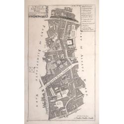
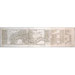
A MAPP OF LIME STREET WARD. TAKEN FROM YE LAST SURVEYS & CORRECTED.
An eighteenth-century plan of Lime Street Ward in the heart of the City of London. The area covered extends north from Fenchurch Street across Leadenhall Street and via S...
Place & Date: London, 1720
Selling price: $90
Sold in 2014
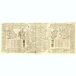
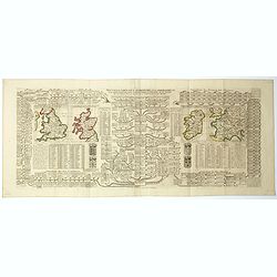
Nouvelle carte pour introduire à la géographie et à la généalogie des rois d'Angleterre et d'Ecosse avec diverses remarques pour le secours de la chronologie et de l'Histoire.
Interesting sheet with a map of the family tree for the Royal Families of Great Britain, Scotland, and France, with descriptive French text, from Chatelain's monumental 7...
Place & Date: Amsterdam, 1720
Selling price: $75
Sold in 2015
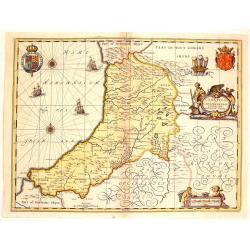
Ceretica Sive Cardiganensis Comnitatus;Anglis Cardigan Shire.
Splendid decorative map with two figurative, allegoric cartouches, two putti, three heraldic family coats of arms and three ships. A fine map of Cardigan Shire.
Place & Date: Amsterdam, 1720
Selling price: $160
Sold in 2015
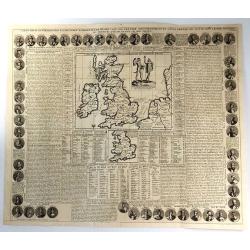
Carte Pour l'Introduction a l'Histoire d'Angleterre, ou l'on Voit son Premier Gouvernement, et l'Etat Abrege de cette Monarchie sous les Empereurs Romains, et sous les Rois Saxons...
A large inset map of Roman Britain including the English Channel and the western coast of France. It also provides a wealth of information on the principal Roman towns ac...
Place & Date: Amsterdam, 1720
Selling price: $120
Sold in 2018
[London to Portsmouth by John Owen & Emanuel Bowen.]
Two conjoined strip road maps page numbers 72 & 73 from “Britannia Depicta or Ogilby Improved.” A pocket road atlas by John Owen and Emanuel Bowen. Together these...
Place & Date: London, 1720
Selling price: $80
Sold in 2016
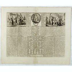
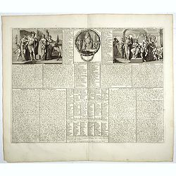
Nouvelle carte pour introduire à la géographie et à la généalogie des rois d'Angleterre et d'Ecosse. . .[and] Carte des Prerogatives des Rois et de la Noblesse d'Angleterre. . .[and] Representation du Parlement d'Angleterre. . .
Interesting sheet with a map of the family tree for the Royal Families of Great Britain, Scotland, and France, with descriptive French text, from Chatelain's monumental 7...
Place & Date: Amsterdam, 1720
Selling price: $70
Sold in 2017
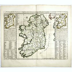
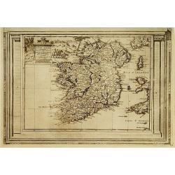
Nouvelle carte de l'Irlande, où on remarque l'Etat présente de cette isle . . .
Finely engraved map of Ireland, with two smaller maps of Ireland showing Ancient Ireland and an ecclesiastical map of modern Ireland. From Chatelain's monumental 7 volume...
Place & Date: Amsterdam, 1720
Selling price: $100
Sold in 2017
Carte des prérogatives des rois et de la noblesse d'Angleterre . . .
Extracted from the historical atlas: introduction to the history, chronology, ancient and modern geography, genealogy of the royal houses of Europe with descriptive Frenc...
Place & Date: Amsterdam, 1720
Selling price: $15
Sold in 2018
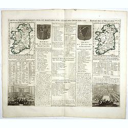
Carte du gouvernement civil et militaire avec l'Etat des Officiers du Royaume d'Irlande . . .
Engraved text sheet with two maps of Ireland (140 x 105mm. each), coats of arms of Ireland and England and a views of Irish Parliament and the House of Commons.Henri Abra...
Place & Date: Amsterdam, 1720
Selling price: $40
Sold in 2022
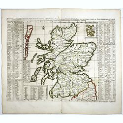
Nouvelle carte d'Ecosse . . .
Decorative map of Scotland with index tables giving details of the nobility, geographical divisions and notable settlements down both sides.Henri Abraham Chatelain (1684 ...
Place & Date: Amsterdam, 1720
Selling price: $75
Sold in 2020
Nouvelle carte pour introduire à la géographie et à la généalogie des rois d'Angleterre et d'Ecosse avec diverses remarques pour le secours de la chronologie et de l'Histoire.
Interesting sheet with a map of the family tree for the Royal Families of Great Britain, Scotland, and France, with descriptive French text, from Chatelain's monumental 7...
Place & Date: Amsterdam, 1720
Selling price: $65
Sold in 2017
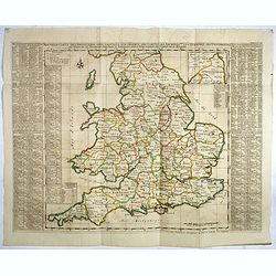
Nouvelle Carte de l'Alemagne avec des tables des branches de la noblesse..
Map of England including parts of the neighbouring countries with a key table to the towns on both sides.Zacharie Chatelain (d.1723) was the father of Henri Abraham (1684...
Place & Date: Amsterdam, ca. 1720
Selling price: $80
Sold in 2017
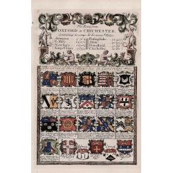
'Arms of the Colleges &c. in Cambridge' - The route from Oxford to Chichester.
A decorative antique strip map of the route from Oxford to Chichester.The route follows Oxford to Abingdon to East Istley to Newbury to King's Cleer.The 'Arms of the Coll...
Place & Date: London, 1720
Selling price: $50
Sold in 2018
Carte généalogique de la maison de Plantagenette et des ducs Normandie . . .
Genealogical chart of medieval English royal families, seven coats of arms of Edward the Confessor, Edward III, the Plantagenets, the Duke of Normandy and others.Henri Ab...
Place & Date: Amsterdam, 1720
Selling price: $30
Sold in 2022
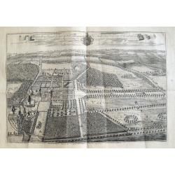
Knowlton Court ye Seat of Sr Thomas D'Aeth Bart & Dame Elizabeth his Wife.
A large copper engraved plan of the manor house. The view is highly detailed, showing buildings, horses, deer, parks, roads, and sailing ships in the background. Below a ...
Place & Date: London, ca 1720
Selling price: $15
Sold in 2018
Exactissima Regni Scotiae Tabula. . .
This lovely copper engraved map includes all of Scotland, the Orkney Islands and the New Hebrides, here called the Westerne Iles of Scotland. The map is filled with minut...
Place & Date: Amsterdam, 1720
Selling price: $290
Sold in 2021
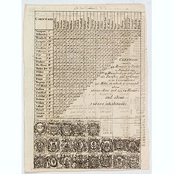
Cornwall.
A triangular distance table of Cornwall, with 21 sets of arms of the county and towns including Truro, St Ives & Fowey, with some statistics about the county. Publish...
Place & Date: London, 1720
Selling price: $7
Sold in 2021
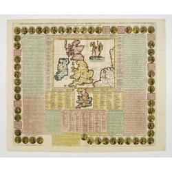
Cart Pour L'Introduction à L'Histoire D'Angleterre ..
Decorative and elaborate map of the British Isles, with portraits of the British Kings and Emperors from 801 (Egbert) to 1702 (Anne). The center map Includes two ancient ...
Place & Date: Amsterdam 1721
Selling price: $120
Sold
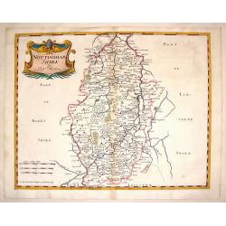
Nottinghamshire.
Detailed map of Nottingham with the early road system, cities & towns,lakes and rivers and forests and mountains. Adorned with an interesting title cartouche. Robert...
Place & Date: London, 1722
Selling price: $40
Sold in 2014
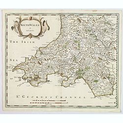
South wales.
A nice copper engraved map of South Wales, produced by Robert Morden for publication in Edmund Gibson's translation of William Camden's "Britannia", first publi...
Place & Date: London, 1722
Selling price: $18
Sold in 2021
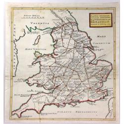
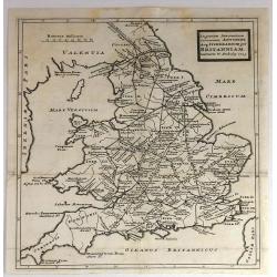
Ingratiam Itinerantium Curiosorum Antonini Aug. Itinerarium per Britanniam ...
A general map of Britain, featuring the Roman live and main cross-roads in England and Wales. Published in the “Itinerarium Curiosum” by William Stukeley, An original...
Place & Date: London, 1723
Selling price: $16
Sold in 2016
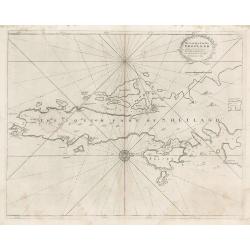
The South Part of Shetland
This decorative copperplate nautical chart was part of the work commissioned by Charles II of England when Samuel Pepys was Secretary to the Admiralty. The work was to ch...
Place & Date: London, 1723
Selling price: $75
Sold in 2023
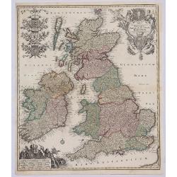
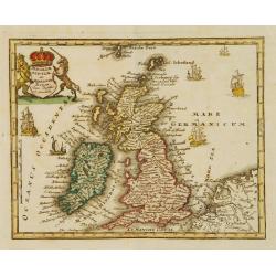
Angliae Scotiae et Hiberniae Regna..
Uncommon map of Great Britain and Ireland. The originally colored title cartouche is surrounded by mythological figures. From Atlas Portatif.
Place & Date: Nuremberg 1724
Selling price: $105
Sold
In Gratiam Itinerantium Curiosorum Antonini Aug. Itinerarium per Britanniam.
An informative map of Great Britain, showing roads, rivers, cities and towns. Place names given in both Latin and English.Published by Herman Moll in 1724 in “A New Des...
Place & Date: London, 1724
Selling price: $50
Sold in 2016
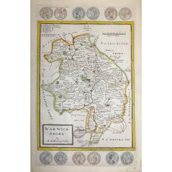
Warwick Shire by H. Moll Geographer
An interesting and attractive 18th century copperplate map of the county of Warwickshire divided into hundreds.It shows a title panel, scale and lists the administrative ...
Place & Date: London, 1724
Selling price: $120
Sold in 2016
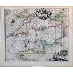
Canalis inter Angliae et Galliae Littera (English Channel)
This map was originally made and published by Frederick de Wit. The plate was acquired by the Ottens brothers after the death of De Wit's son in 1706. Following the gener...
Place & Date: Amsterdam, ca. 1725
Selling price: $345
Sold in 2010
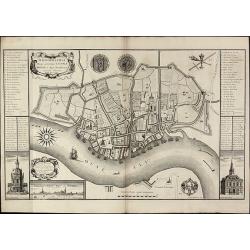
Ichnographia Burgi perantiqui Lennae regis in Agro Norfolciensi accurate delineata Ano MDCCXXV.
Important and very rare plan of King's LynnA large and detailed copper engraved plan of King's Lynn Harbour in Norfolk, drawn and published by Gulielmus Rastrick in 1725....
Place & Date: London, 1725
Selling price: $1400
Sold in 2010
Academia Tertia Anglicana or The Antiquarian Annals of Stanford in Lincoln, Rutland, and Northampton Shires
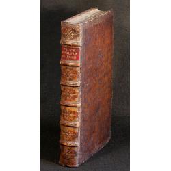
First Edition of Peck's history of Stanford. Describing University, churches, schools of Stanford and several other places. Folding panorama frontis 'The Prospect of the ...
Place & Date: 1727
Selling price: $700
Sold in 2010
L'Irlande, suivant les nouvelles observations..
Fine map of Ire land, with decorative title cartouche lower left corner.This example is unusual in having the additional separately engraved decorative framework border a...
Place & Date: Amsterdam, 1728
Selling price: $300
Sold in 2015
Londen.
Rare map of London with a legend in margins from: Force d'Europe, oder die Merckwürdigst– und Fürnehmste, meistentheils auch Ihrer Fortification wegen Berühmteste St...
Place & Date: Augsburg, 1728
Selling price: $390
Sold in 2015
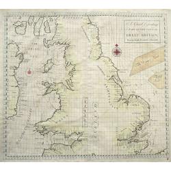
A Chart Describing part of the coast of Great-Britain, from the South Foreland to Berwick.
Very rare sea-chart of the coasts of England and Wales, including the Isle of Man, and the east coast of Ireland. With numerous place names and depth soundings. With two ...
Place & Date: London, 1728
Selling price: $300
Sold in 2016
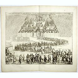
Carte pour donner une idée generale du gouvernement D'Ecosse . . .
Illustrating the activities and principal members of the Scottish Parliament. Remarkable detail, with over 30 individuals and groups named.Henri Abraham Chatelain (1684 �...
Place & Date: Amsterdam, 1728
Selling price: $50
Sold in 2019
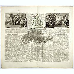
Nouvelle carte du gouvernement civil D'Angleterre et de celuy de la ville de Londres.
Striking plan of London, with map of England and two large allegorical figures of Liberty, Justice, Tranquility Rest and Patriotism to the left vignette and Commerce and ...
Place & Date: Amsterdam, 1728
Selling price: $100
Sold in 2018
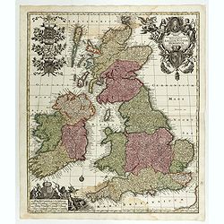
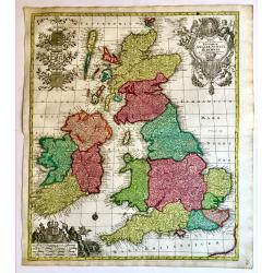
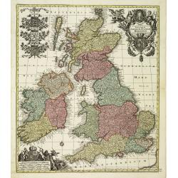
Regnorum Angliae, Scotiae Hiberniae.
A superb 18th century original hand colored map of Seutter's British Isles, with a portrait of George I and the Hanoverian coat-of-arms in the title cartouche. In the sca...
Place & Date: Augsburg, 1728
Selling price: $250
Sold in 2019
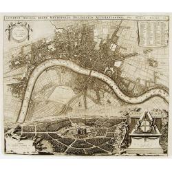
Londini Angliae regni metropolis delineatio accuratissima ..
A beautifully engraved and richly detailed plan of London. In upper right part a key to 148 principal spots in the town. From Galerie Agréable du Monde, a sixty-six volu...
Place & Date: Leiden 1729
Selling price: $1300
Sold
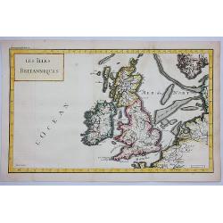
Les Iles Britanniques.
A striking map of the British Isles. It is from METHODE POUR ETUDIER L’HISTOIRE by L’Abbe Lenglet du Fresnoy, published in Paris in 1729. The map is quite rare. It wa...
Place & Date: Paris, 1729
Selling price: $25
Sold in 2021
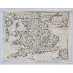
L'Angleterre Suivant les Nouvelles Observations. . .
An attractive map of England and Wales, showing part of the French coast and a small part of Scotland and Ireland, it has a decorative cartouche with scenes of English tr...
Place & Date: Leiden, 1729
Selling price: $30
Sold in 2023
Carte de la mer d'Ecosse../d'Irlande
Sea chart depicting northern tip of Ireland and Scotland. East to top.
Place & Date: Paris 1730
Selling price: $245
Sold
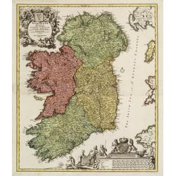
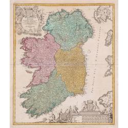
Hiberniae regnum..
A detailed and decorative map of Ireland, with an attractive uncolored title cartouche.
Place & Date: Nurnberg 1730
Selling price: $550
Sold
Regnum Angliae..
A detailed and decorative map of England, with an attractive uncolored title cartouche. Made after Visscher.
Place & Date: Nurnberg 1730
Selling price: $220
Sold
Hiberniae regnum. . .
A detailed and decorative map of Ireland, with an attractive uncolored title cartouche.
Place & Date: Nurnberg 1730
Selling price: $450
Sold in 2010
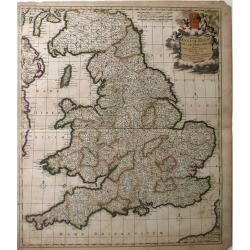
Accuratiffima Angliae Regni et Walliae Principatus Defcriptio Diftinete divifa in Omnes fuas Provincias et Edita.
A detailed map of Great Britain, Scotland and Wales by Frederick De Witt. Map includes islands off the coast of Britain and a small portion of the Northern Coast and the ...
Place & Date: Amsterdam, 1730
Selling price: $43
Sold in 2010
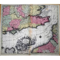
La plus grande partie de la Manche, qui contient les cotes d' Angleterre et celles de France...
Superb map of the English Channel, also showing England including Gloucester, Oxford, London and Colchester, with the Post Roads marked. With French coast including Calai...
Place & Date: Augsburg, 1730
Selling price: $113
Sold in 2012
Hiberniae regnum. . .
A detailed and decorative map of Ireland, with an attractive uncolored title cartouche.
Place & Date: Nurnberg 1730
Selling price: $105
Sold in 2012
Hiberniae regnum ...
A detailed and decorative map of Ireland, with attractive cartouches.
Place & Date: Nurnberg, 1730
Selling price: $390
Sold in 2013
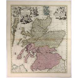
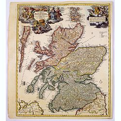
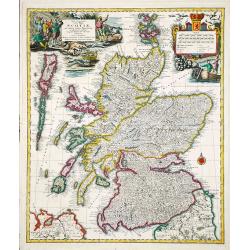
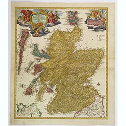
Magnae Britanniae Pars Septentrionalis qua REGNUM SCOTIAE. . .
A large, detailed and decorative map of Scotland with two superb cartouches. They are surrounded by mythical and allegorical figures, five putti, and the Royal & Scot...
Place & Date: Nuremberg, 1730
Selling price: $220
Sold in 2017
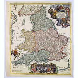
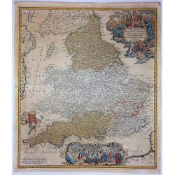
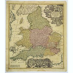
Magnae Britanniae..Regnum Angliae. . .
Johann Baptist Homann's well-engraved map of England and Wales has a large decorative cartouche at top right and a scrolled scene at bottom centre showing the King, (pres...
Place & Date: Nurnberg, 1730
Selling price: $220
Sold in 2017
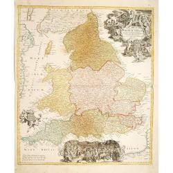
Magne Britanniae Pars Meridionalis in Qua Regnum Angliae...
A detailed map with a large decorative cartouche at the top right featuring a woman playing the harp, a shield with unicorns and a lion, and two putti. A large scene at t...
Place & Date: Nuremberg, 1730
Selling price: $125
Sold in 2017
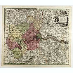
Delineatio ac finitima Regio Londini.
Centered on London, including towns of Hatfield, Tilbury, Walton on the Hill and Chertsey. Title in cartouche with royal arms, figure of Mercury, group of merchants. Boun...
Place & Date: Ausburg, 1730
Selling price: $100
Sold in 2022
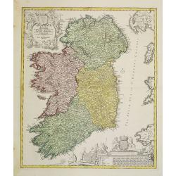
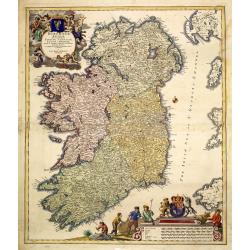
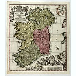
Regnum Hiberniae, tam Secundum IV Provincias Principales Ultoniam, Connaciam, Lageniam, et Momoniam quam peciales, accurate. . .
A very decorative and detailed map of Ireland based on Visscher's map. In upper left corner a large title cartouche with the royal British arms and lower right a large pi...
Place & Date: Augsburg, 1730
Selling price: $167
Sold in 2017
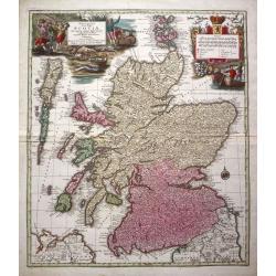
Nova et accurata Scotiae, secundum omnes Provincias.
A decorative and detailed map of Scotland. Embellished with two large cartouches. Matthaeus Seutter (1678-1757), was a cartographer of Vienna and Augsburg. 'Atlas Geogr'...
Place & Date: Augsburg, ca 1730
Selling price: $354
Sold in 2020
Magnae Britanniae Pars Septentrionalis qua REGNUM SCOTIAE. . .
A large, detailed and decorative map of Scotland with two superb cartouches. They are surrounded by mythical and allegorical figures, five putti, and the Royal & Scot...
Place & Date: Nuremberg, 1730
Selling price: $200
Sold in 2019
Collegium Reginense - Queen's College. [Oxford]
A lovely double page, folio copper engraved print of Queen's College, Oxford by William Williams (fl.1724-1733). Originally published in:- Oxonia Depicta sive Collegiorum...
Place & Date: Oxford, ca 1730
Selling price: $80
Sold in 2020
Magnae Britanniae. . . Regnum Angliae. . .
Johann Baptist Homann's well-engraved map of England and Wales has a large decorative cartouche at top right and a scrolled scene at bottom centre showing the King, (pres...
Place & Date: Nurnberg, 1730
Selling price: $75
Sold in 2020
Eyland Man in St. Georges Channell
This is a scarce cartographic work by the Van Keulen family that provides three charts detailing islands in the Irish Sea.The chart at top left depicts the Isle of Man wi...
Place & Date: Amsterdam, 1730
Selling price: $150
Sold in 2023
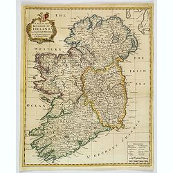
A Map of the Kingdom of Ireland.
A nice example of Seale's general map of Ireland produced for Tindal's "Continuation of Rapin's History." This map is quite detailed, accurate, and easy to read...
Place & Date: London, ca 1732
Selling price: $135
Sold in 2019
Tabula Novissima Accuratissima Regnorum Angliae, Scotiae, Hiberniae. . .
Decorative map of the British Isles, with 5 large coats of arms, portrait and two large decorative allegorical cartouches. The garlanded cartouche features a portrait of ...
Place & Date: Augsburg, ca.1733
Selling price: $300
Sold in 2013
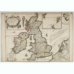
Les Isles Britanniques Comprenant les Royaumes d'Angleterre, Ecosse, et D'Irlande... Dressé sur les Observations Nouvelles par Crepy Geographe.
Separate publication. "Crepy's map shows the British Isles, with a large insert panel of the Shetland and Faeroe Islands. The two elegant cartouches-one containing t...
Place & Date: Paris , ca. 1735
Selling price: $300
Sold in 2022
Urbium Londini et West-Monasterii nec non Surburbii Southwark Accurata Ichnographia ... Neuester Grundris der Staedte London und West-Munster, Samt der Vorstadt Southwark ...
Detailed plan of London. Ornamental title cartouche surmounted by the royal arms of George II, with a note in Latin and German within semi-elliptical banner, glossary of ...
Place & Date: Nuremberg, 1736
Selling price: $800
Sold in 2017
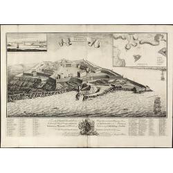
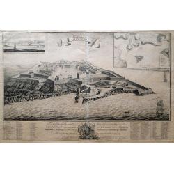
The Citadel of Plymouth.
Rare view of the Citadel of PlymouthA large and impressive copper engraved view of the Citadel of Plymouth, draw by Sandford Mace and engraved by Charles Mosley. Shows th...
Place & Date: London, dated July 25th, July 1737
Selling price: $900
Sold in 2010
The Citadel Of Plymouth.
A magnificent panoramic view of the citadel at Plymouth which was built in 1665. The view is dedicated to the "Hon. Charles Churchill Esqr. Major General Of His Maje...
Place & Date: London, 1737
Selling price: $700
Sold in 2014
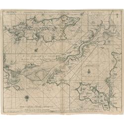
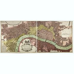
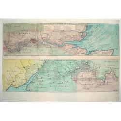
THE EAST PART OF THE RIVER THAMES / THE WEST PART OF THE RIVER THAMES
An attractive and detailed map of the River Thames. The top portion of the work focuses on the eastern end of the river, highlighting London and directly west. The lower ...
Place & Date: London, ca. 1738
Selling price: $235
Sold
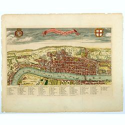
A View of London about the Year 1560.
Published as the frontispiece to Maitland's well recognized HISTORY OF LONDON, this is a sought after, handsome and finely engraved bird's-eye view / plan of Elizabethan ...
Place & Date: London, ca 1738
Selling price: $300
Sold in 2021
[Untitled Martime Chart.]
One double page maritime chart from John Pine's Tapestry hangings of the House of Lords Representing the Engagements between the English and Spanish Fleets in the year 15...
Place & Date: London, 1739
Selling price: $240
Sold in 2023
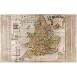
The South Part of Great Britain called England and Wales...
Full Title: The South Part of Great Britain called England and Wales. Containing all the Cities, Market Towns, Boroughs and whatever Places have the Election of Members o...
Place & Date: London, c. 1740
Selling price: $2050
Sold
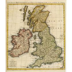
Les Isles Britanniques par Mr. De L'Isle. Geographe du Roy &c.
Uncommon map of the British Isles.
Place & Date: Paris, c.1740
Selling price: $75
Sold
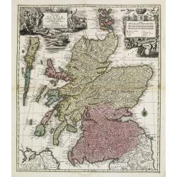
Nova et accurata totius Regni Scotiae, Secundum Omnes Provincias et adjacentes Insulas..
Fully and strongly engraved copper plate map that includes all of Scotland and the New Hebrides, here called the Western Iles of Scotland. The map is filled with minute d...
Place & Date: Augsburg 1740
Selling price: $550
Sold
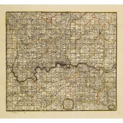
A New Map Containing the Towns Gentlemens Houses Villages and other Remarks Round London . . .
Detailed map showing hundreds of place names in the greater London area, including Darking, Hampsted, Hertford, Guildford, etc.
Place & Date: London, 1740
Selling price: $860
Sold in 2011
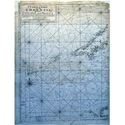
A Large Chart of The Channell Between England And France.
A striking nautical chart detailing of the channel between England and France.
Place & Date: London, 1740
Selling price: $255
Sold in 2010
Nova et accurata totius Regni Scotiae...
From 'Atlas Novus'. A very decorative and detailed map of Scotland by Matthias Seutter who was an eminent German map-maker in Augsburg, appointed Geographer to the Imperi...
Place & Date: Augsburg, c. 1740
Selling price: $400
Sold in 2014
Carte des prérogatives des rois et de la noblesse d' Angleterre...
Extracted from the historical atlas: introduction to the history, chronology, ancient and modern geography, genealogy of the royal houses of Europe with descriptive Frenc...
Place & Date: Amsterdam, 1740
Selling price: $15
Sold in 2020
Tabula Novissima Accuratissima Regnorum Angliae, Scotiae, Hiberniae. . .
Decorative map of the British Isles, with 5 large coats of arms, portrait and two large decorative allegorical cartouches. The garlanded cartouche features a portrait of ...
Place & Date: Augsburg, 1740
Selling price: $73
Sold in 2018
Tabula Accuratissima Regnorum Anglae Scotiae Hiberniae.
A beautiful colored example of Seutter's map of the British Isles, with 5 large coats of arms, portrait and two large decorative allegorical cartouches. One of the most d...
Place & Date: Augsberg, 1740
Selling price: $399
Sold in 2019
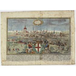
LONDINUM Konden.
A rare and decorative city view of London, England, an engraving after F.B. Werner by J.G. Ringlin published in the “Europäische Städteansichten”, made by Martin En...
Place & Date: Augsburg, ca 1740
Selling price: $600
Sold in 2021
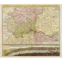
Regionis, quae est circa Londinum ..
Detailed map of greater area of London. At bottom an panoramic view (116x569mm). A most decorative item.
Place & Date: Nuremberg 1741
Selling price: $900
Sold
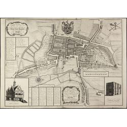
A New and Accurate Plan of the Ancient Borough of Bury Saint Edmunds in the Country of Suffolk By Alexander Downing. 1740
Important and very rare plan of Bury St. Edmunds by A. DowningA large and detailed copper engraved plan of Bury St. Edmunds, Suffolk, drawn and published by Alexander Dow...
Place & Date: London, 1741
Selling price: $1400
Sold in 2010
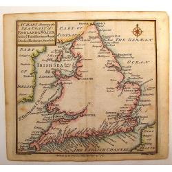
A Chart Shewing the Sea coast of England & Wales.
A fine map drawn by Thomas Badeslade and engraved by William Henry Toms which was published in the atlas "Chorographia Britannia". Thomas Badeslade (active 172...
Place & Date: London, 1742
Selling price: $43
Sold in 2013
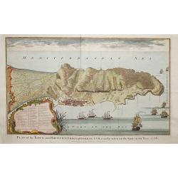
Plan of the fortifications of Gibraltar, exactly taken on the Spot in the Year 1738.
A map showing Gibraltar in Spain with decorative ships in the foreground. It is very likely that the author of this map was Nicholas Tindall: as Chaplain to an English Fl...
Place & Date: London ca. 1742
Selling price: $170
Sold in 2018
![[London to Portsmouth by John Owen & Emanuel Bowen.]](/uploads/cache/97413-250x250.jpg)
![Nouvelle carte pour introduire à la géographie et à la généalogie des rois d'Angleterre et d'Ecosse. . .[and] Carte des Prerogatives des Rois et de la Noblesse d'Angleterre. . .[and] Representation du Parlement d'Angleterre. . .](/uploads/cache/39121-250x250.jpg)

![Collegium Reginense - Queen's College. [Oxford]](/uploads/cache/43162-250x250.jpg)
![[Untitled Martime Chart.]](/uploads/cache/43629-250x250.jpg)
